Neill Forks Hut
Standard hutTararua Forest Park, WellingtonOpen
Current advisories
Predator control for part of Tararua Forest Park
02 June 2026
We distributed toxic bait pellets containing 1080 by helicopter on 19 May 2026. A caution period is in place for approximately 8 months. Visitors are advised not to take dogs into the area until the caution period has ended. 1080 is deadly to dogs. How to keep dogs safe around 1080 . This operation is part of DOC's National Predator Control Programme to protect native species. First published on 2 May 2026. Last reviewed on 3 June 2026.
Source: DOC Te Papa Atawhai alerts.
- Sleeps
- 6 bunks
- Booking
- Not bookable
- Cost
- from $15
- Heating
- Yes
- Drinking water
- Not drinkable
- Toilet
- Non-flush
Getting there
We have not checked a road end or car park for this place yet, so we do not give driving directions to it. Check how to get there before you go. Some routes cross private land and need the landowner's permission.
How to get there, on doc.govt.nz- Topo map
- Topo50 sheet BP33
- Grid reference
- E1798370, N5466040
Source: DOC Te Papa Atawhai.
Map and tracks
Track lines: DOC Te Papa Atawhai. Map data © OpenStreetMap contributors. Topo map: LINZ, CC BY 4.0. 40.93270° S, 175.35615° E
About this place
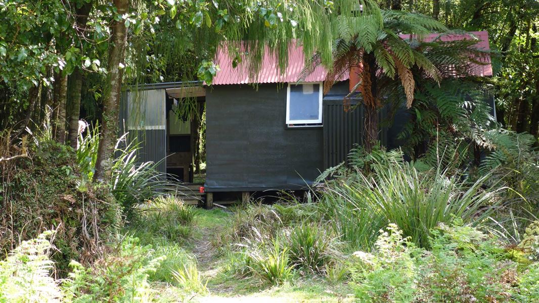
This is a standard six-bunk hut in the Wairarapa region.
On the way here
Cone Ridge Tracks
Cone Ridge Track, from Cone Saddle to Totara Flats Hut (via Cone and Cone Ridge)
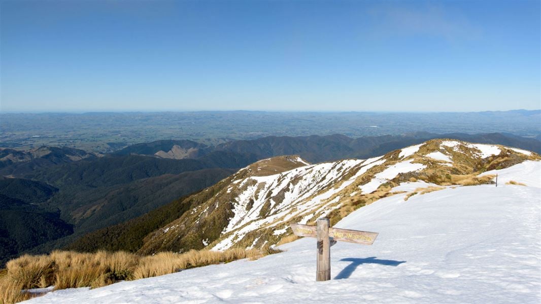
From Cone Saddle, the track climbs steadily to Mount Cone, gaining around 500 m in elevation. Just before Cone there is a track junction, where the left-hand track leads to Neill Saddle and Neill Ridge. Take the right hand track to follow Cone Ridge. After the track junction, the track briefly emerges into low alpine scrub at the Cone high point. It is a welcome opportunity to rest and enjoy the view. From here, the track returns to the bush and continues along the relatively flat Cone Ridge. Partway along Cone Ridge (5.13 km from Cone Saddle), you will reach a track junction. Here you have the option to descend steeply to Neill Forks Hut (this is described below). To go to Totara Flats Hut, take the right hand track that continues straight ahead along the ridge. At the end of Cone Ridge, the track follows a long ridge down into the Tauwharenīkau Valley. The descent gets steeper as you get further down, so plan plenty of time and watch your feet carefully. The track emerges onto a river terrace not far upstream from Totara Flats Hut. Follow the track down the river, passing but not crossing a suspension bridge. The hut is a few minutes downstream from the bridge.
Totara Flats Hut to Neill Forks Hut, via Cone Ridge
Time: 4-5 hours
5.54 km Be aware that this track involves significant elevation change – you climb over 700 vertical meters to Cone Ridge, then shortly afterwards descend very steeply to Neill Forks Hut, losing over 550 vertical meters. The track is rough and unformed, so you will be climbing up and down over tree roots and slippery surfaces. While the track distance looks relatively short, all this means that the track between Totara Flats and Neill Forks is demanding and time-consuming. We recommend allowing plenty of extra time, so you can rest often, go carefully, and have time to walk the track in daylight. From Totara Flats Hut, follow the track upstream. Shortly after the hut you will pass a suspension bridge – do not cross this bridge (that track leads towards Mount Holdsworth). Instead, continue following the track up the true right of the Tauwharenīkau River. Soon the track leaves the river terrace and begins to climb a long ridge. The climb is steep at first, before gradually becoming gentler. This is a long stretch of climbing, gaining over 700 vertical metres. Finally the track flattens out as you arrive on Cone Ridge. Follow the track along Cone Ridge, until you come to a track junction. Take the right hand track to Neill Forks Hut. The track descends steeply off the ridge, dropping down into the Hector River valley. This is a demanding descent, so take it slow to avoid slipping. Shortly before the hut, the track reaches Neill Creek. It crosses the creek twice without a bridge. This creek can rise rapidly during/following rain, so assess it carefully and decide whether the creek is safe to cross. If in doubt, wait for the water level to drop or return to Totara Flats Hut. After the second Neill Creek crossing, you come to Neill Forks Hut, near the confluence of Hector River and Neill Creek. There are no water sources (this includes no streams) for the vast majority of this track, so we recommend carrying at least 2L of water per person.
Source: DOC Te Papa Atawhai.
Fees and bookings
Before you go, buy Hut Tickets for each night's stay. Put these in the honesty box at the hut. Or buy a Backcountry Hut Pass that gives unlimited use at most Standard and Serviced huts for a 12 month period. Retailers that sell hut tickets and passes
Source: DOC Te Papa Atawhai.
Nearby stops
Totara Flats Hut
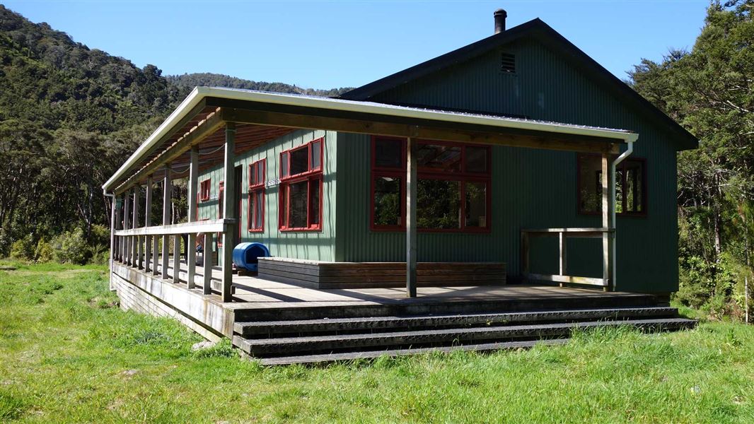
Serviced • 26 bunks • Wellington • 3.9 km
Totara Flats Hut is a hut located in the Wairarapa region. It is suitable for an overnight stay in the Waiohine Valley.
Heating • Mattresses • Toilets - non-flush
Cone Hut
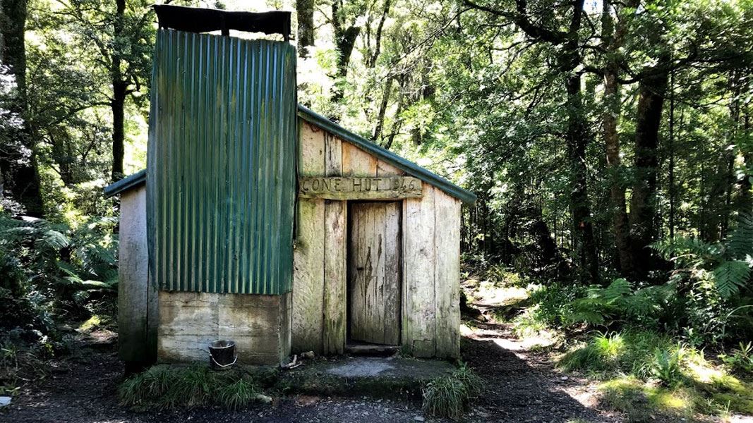
Basic/bivvies • 6 bunks • Wellington • 6.2 km
Cone Hut is a basic six-bunk hut in the Wairarapa region. It is the second oldest hut in the Tararuas.
Heating • Toilets - non-flush • Water from stream

Maungahuka Hut
Standard • 10 bunks • Wellington • 2.9 km
Maungahuka Hut is a standard 10-bunk hut located in the Wairarapa region.
Mattresses • Toilets - non-flush • Water from tap - not treated, boil before use
Sayer Hut
Standard • 6 bunks • Wellington • 3.6 km
Sayer Hut is a standard six-bunk hut located in the Wairarapa region of Wellington.
Heating • Mattresses • Toilets - non-flush
Winchcombe Biv
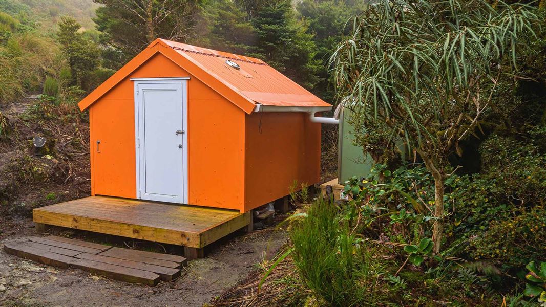
Basic/bivvies • 2 bunks • Wellington • 4.3 km
Winchcombe Biv is a two-bunk forestry service style bivouac located in the Tararua Forest Park. It includes two mattresses, room for one additional sleeping…
Walks nearby
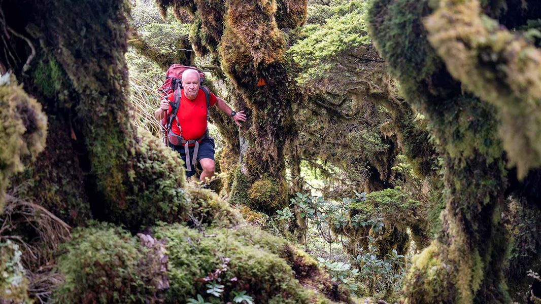
Neill Forks to Maungahuka Track
Advanced • 4 hr • 3.8 km • 1.27 km away
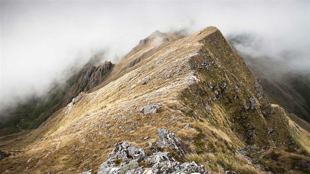
Neill Winchcombe Circuit
Advanced • 3 days • 3.61 km away
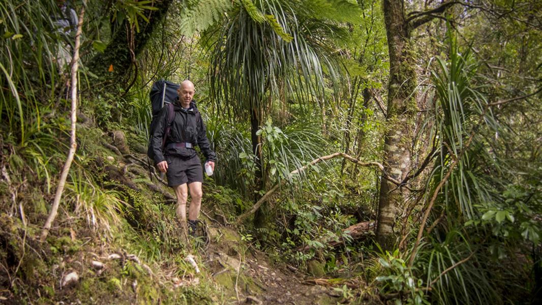
Lower Waiohine Track
Intermediate • 4 hr and 30 min • 8.7 km • 4.11 km away
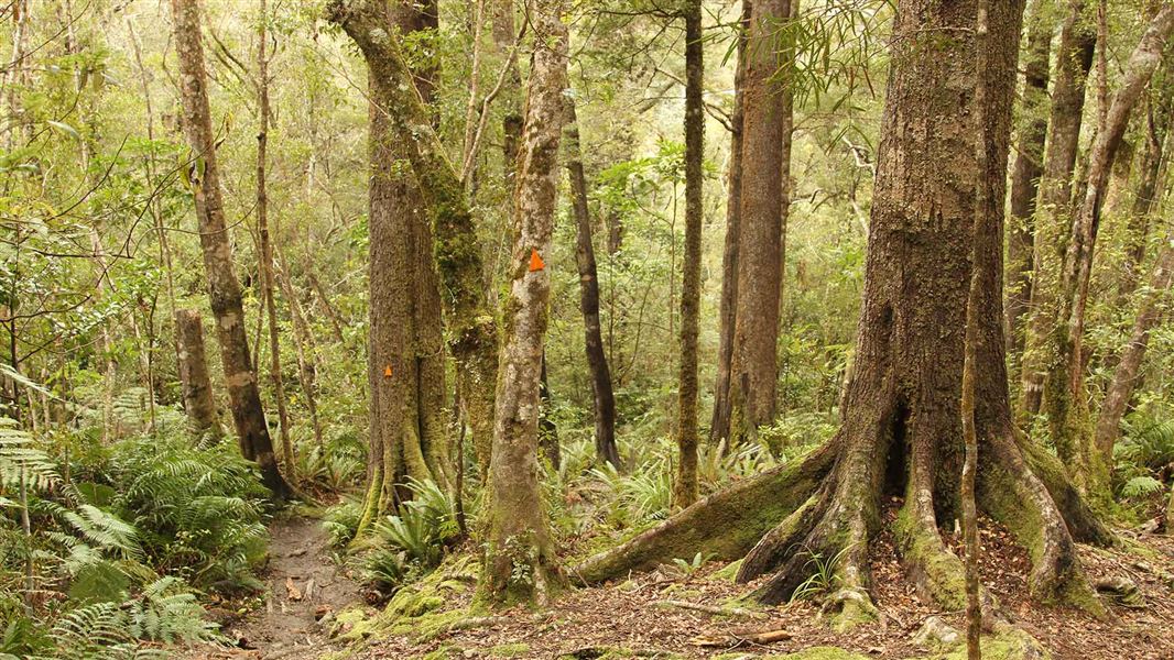
Holdsworth - Kaitoke Track
Advanced • 2–3 days • 36 km • 5.69 km away
Holdsworth road end to Powell Hut/Mount Holdsworth
Intermediate • Powell Hut: 5 hr one way, Mount Holdsworth: 6 hr one way • 7.75 km away
Contact
Wellington/Kapiti information
Regional DOC service centre.
Notes from people who have been
No notes yet. If you have been, say what you found.
Something missing or out of date?
Closed, moved, wrong facts, or something we have missed? Travellers keep the Road Guide up to date. Tell us what you found at contribute@parkup.nz and we will check it and add it.
Ask us to take this down
A person reads every request. We do not remove a place until we have checked it.
Sources
- OpenStreetMap Huts · ODbL (Open Database License)Contains information from OpenStreetMap, made available under the ODbL.
- DOC Huts (API) · CC BY 4.0Crown Copyright: Department of Conservation Te Papa Atawhai. Data sourced from the DOC Developer Portal (api.doc.govt.nz).
- DOC Huts · CC BY 4.0Data sourced from the Department of Conservation (DOC), New Zealand.