Neill Forks to Maungahuka Track
WalkWellington
- Grade
- Advanced
- Walking time
- 4 hr
- Distance
- 3.8 km
- Dogs
- Under control
Getting there
We have not checked a road end or car park for this place yet, so we do not give driving directions to it. Check how to get there before you go. Some routes cross private land and need the landowner's permission.
How to get there, on doc.govt.nzYou can begin this track at Maungahuka summit or Neil Forks Hut.
Source: DOC Te Papa Atawhai.
Map
Map data © OpenStreetMap contributors. Topo map: LINZ, CC BY 4.0. 40.92226° S, 175.34996° E
About this place
This track links Neill Forks Hut with the Maungahuka Summit, via Concertina Knob.
The route
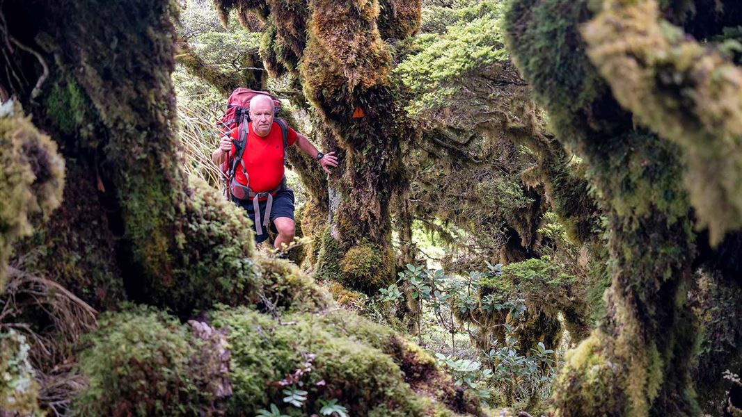
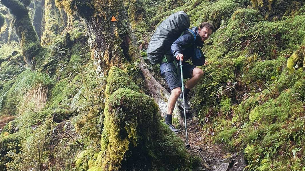
The track to Maungahuka Hut begins at Neill Forks Hut, at the confluence of Neill Creek and Hector River. The track crosses a bridge over the Hector River, then immediately heads up a long, steep climb to Concertina Knob (1106 m). This track is steep and rough, you can expect to be scrambling up tree roots on a slippery, unformed track. From Concertina Knob, the track descends, then climbs again towards Maungahuka. It emerges out of the bush and follows the ridge to the Maungahuka summit (1330m) on the main Tararua Range. At the summit there is a track junction – you can follow a poled route a short distance north to Maungahuka Hut, or have the option to continue on across the Tararua Peaks towards Kime Hut. Maungahuka Hut sits beside a small tarn, with spectacular views on a good day. Take care to follow the markers carefully on this track, including when descending the track to Neill Forks.
Source: DOC Te Papa Atawhai.
Know before you go
Watch the markers carefully
This is a rough, backcountry track and people have got lost on it. Follow the markers carefully to make sure you are staying on the track.
Carry a distress beacon and emergency supplies
This is a remote area. Always carry a distress beacon and pack everything you would need for an unexpected night out. This includes an emergency shelter, spare food and water, warm clothes and a torch (plus spare batteries). Find a packing list here.
Be aware of the weather – turn back if needed
Extreme weather is common on the Tararua tops, including low visibility and very strong wind. If the conditions are bad, stay in the shelter of the hut rather than risking travel above the bush line. Assess the weather before you go beyond the bush line and turn back if needed.
Source: DOC Te Papa Atawhai.
Nearby stops
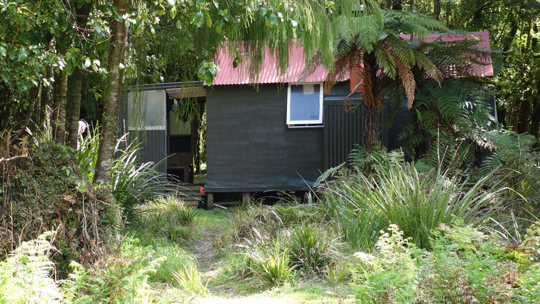
Neill Forks Hut
Standard • 6 bunks • Wellington • 1.3 km
Neill Forks Hut is a standard six-bunk hut located in the Wairarapa region of Wellington.
Heating • Mattresses • Toilets - non-flush

Maungahuka Hut
Standard • 10 bunks • Wellington • 1.7 km
Maungahuka Hut is a standard 10-bunk hut located in the Wairarapa region.
Mattresses • Toilets - non-flush • Water from tap - not treated, boil before use

Aokaparangi Hut
Basic/bivvies • 2 bunks • Wellington • 3.5 km
Aokaparangi Hut is a basic two-bunk hut located in the Kapiti region of Wellington.
Mattresses • Toilets - non-flush • Water from tap - not treated, boil before use
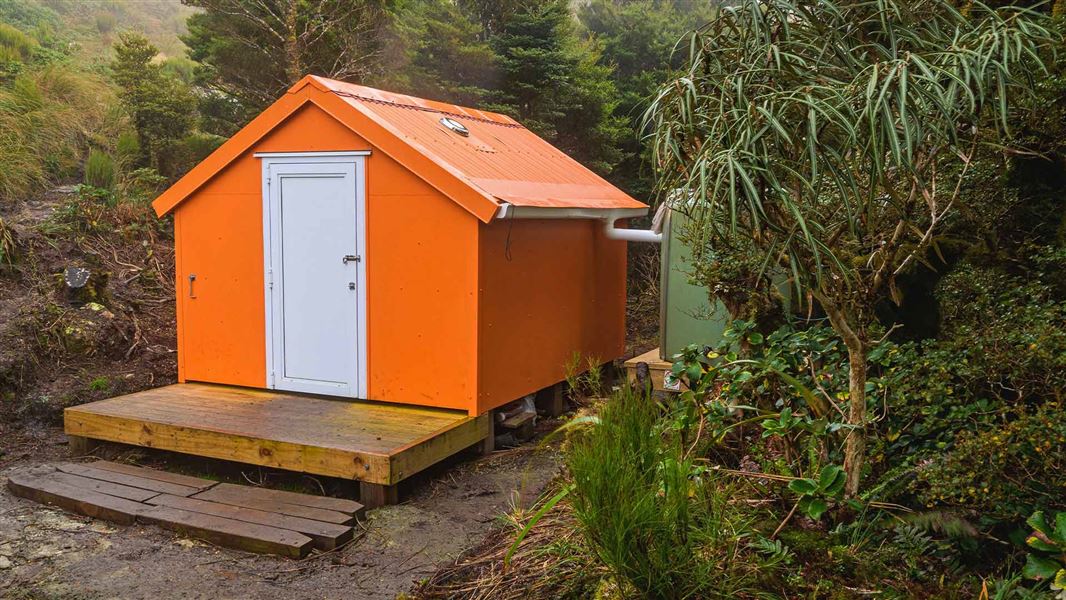
Winchcombe Biv
Basic/bivvies • 2 bunks • Wellington • 4.5 km
Winchcombe Biv is a two-bunk forestry service style bivouac located in the Tararua Forest Park. It includes two mattresses, room for one additional sleeping…
Sayer Hut
Standard • 6 bunks • Wellington • 4.6 km
Sayer Hut is a standard six-bunk hut located in the Wairarapa region of Wellington.
Heating • Mattresses • Toilets - non-flush
Walks nearby
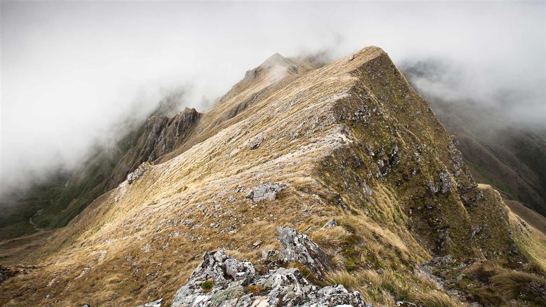
Neill Winchcombe Circuit
Advanced • 3 days • 3.87 km away
Cone Ridge Tracks
Advanced • 4.12 km away
Lower Waiohine Track
Intermediate • 4 hr and 30 min • 8.7 km • 5.36 km away
Holdsworth - Kaitoke Track
Advanced • 2–3 days • 36 km • 6.83 km away
Holdsworth road end to Powell Hut/Mount Holdsworth
Intermediate • Powell Hut: 5 hr one way, Mount Holdsworth: 6 hr one way • 7.72 km away
Notes from people who have been
No notes yet. If you have been, say what you found.
Something missing or out of date?
Closed, moved, wrong facts, or something we have missed? Travellers keep the Road Guide up to date. Tell us what you found at contribute@parkup.nz and we will check it and add it.
Ask us to take this down
A person reads every request. We do not remove a place until we have checked it.
Sources
- DOC Tracks (API) · CC BY 4.0Crown Copyright: Department of Conservation Te Papa Atawhai. Data sourced from the DOC Developer Portal (api.doc.govt.nz).