Winchcombe Biv
Basic/bivvies hutWellingtonOpen
Current advisories
Predator control for Southern Tararuas
20 May 2026
DOC and OSPRI distributed toxic cereal bait pellets by helicopter in this area on 11 and 23 March 2026. A caution period is in place for approximately 8 months. Visitors are advised not to take dogs into the area until the caution period has ended. 1080 is deadly to dogs. How to keep dogs safe around 1080 . View the distribution map (PDF, 2749K) . View the pesticide summary map First published on 3 March 2026. Last reviewed on 21 May 2026.
Source: DOC Te Papa Atawhai alerts.
- Sleeps
- 2 bunks
- Booking
- Not bookable
- Cost
- Free
- Heating
- None
- Drinking water
- Boil first
- Toilet
- Non-flush
Getting there
We have not checked a road end or car park for this place yet, so we do not give driving directions to it. Check how to get there before you go. Some routes cross private land and need the landowner's permission.
How to get there, on doc.govt.nzMap and tracks
Track lines: DOC Te Papa Atawhai. Map data © OpenStreetMap contributors. Topo map: LINZ, CC BY 4.0. 40.94980° S, 175.31015° E
About this place
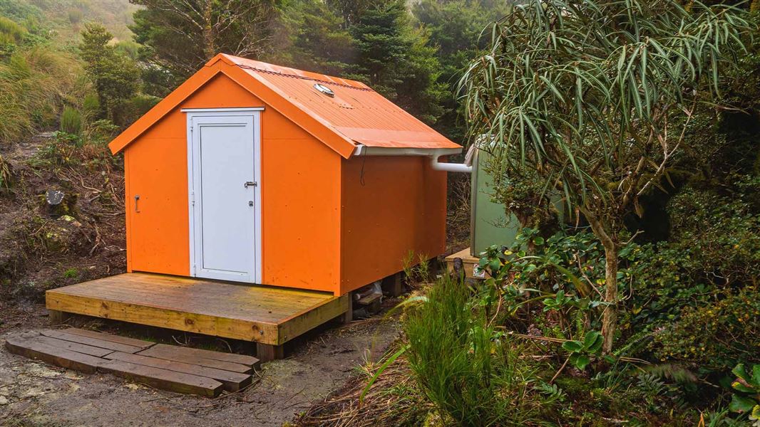
This is a two-bunk bivvy in the Tararua Forest Park.
On the way here
Neill Winchcombe Circuit · 3 days
Cone to Mt Hector or Kime Hut, via Neill Winchcombe
Time: 6-9 hours to Mt Hector
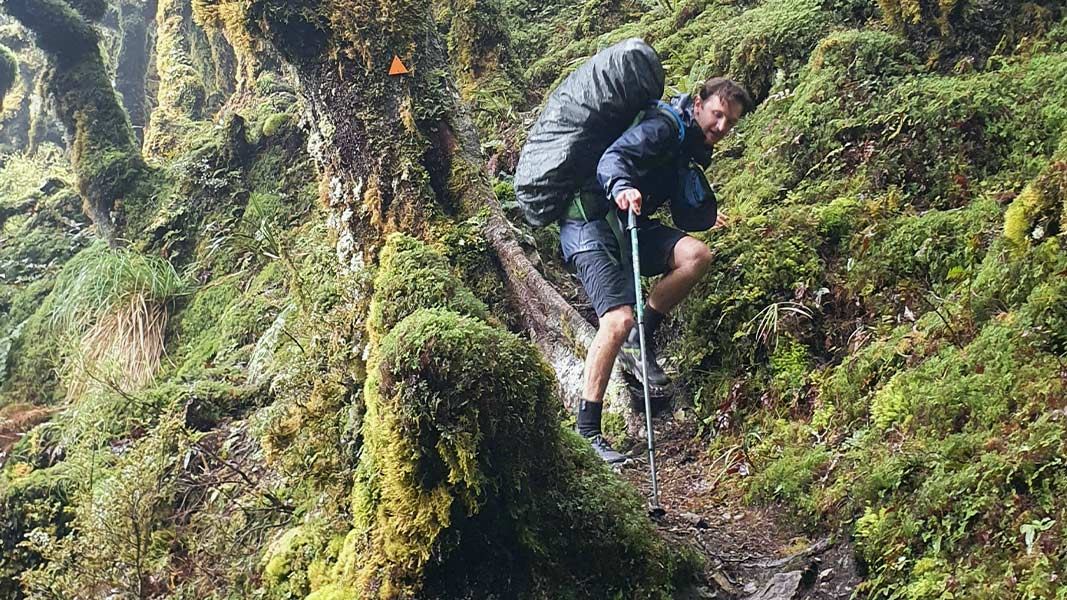
Follow the track along Neill Ridge. Neill Ridge has lots of undulations, including steep bits that require clambering. The track descends to Neill Saddle, then climbs steeply to the Neill high point (1158 m). From Neill, the track then continues along the ridge. Shortly before the bush line you will reach Winchcombe Bivouac. This is a small bivvy with two bunks. There is no formed route from Winchcombe Bivouac to Mt Hector. You will need to navigate yourself, passing Winchcombe Peak and then following the ridge to Mt Hector. The ridge is narrow in places with steep drop-offs. This section is completely exposed, with no shelter from extreme weather. Like any part of the Tararua tops, it is very dangerous in bad weather (such as high wind, rain/snow, freezing temperatures or low visibility). Assess the weather when leaving Winchcombe Bivouac – if conditions are not favourable, we recommend waiting in the bivvy for the weather to improve or turning back. At the Mt Hector summit, you join the Southern Crossing track. Mount Hector bears a large wooden cross that was erected in 1950 (and replaced in 1980) as a memorial to trampers who lost their lives during World War II. From here, you can follow the S outhern Crossing track down to Kime Hut. If you were planning to continue on to Alpha and not go to Kime Hut, use Mt Hector as a decision point. If you are tired, it is getting late or if the weather is bad or deteriorating, it may be better to turn off to Kime Hut rather than continue across the exposed tops to Alpha Hut.
Source: DOC Te Papa Atawhai.
Fees and bookings
Bookings not required.
Source: DOC Te Papa Atawhai.
Nearby stops

Kime Hut
Standard • 20 bunks • Wellington • 3.3 km
Kime Hut is a standard 20-bunk hut located in the Wairarapa region. It serves as a shelter on the Southern Crossing trail.
Mattresses • Toilets - non-flush • Water from tap - not treated, boil before use
Alpha Hut
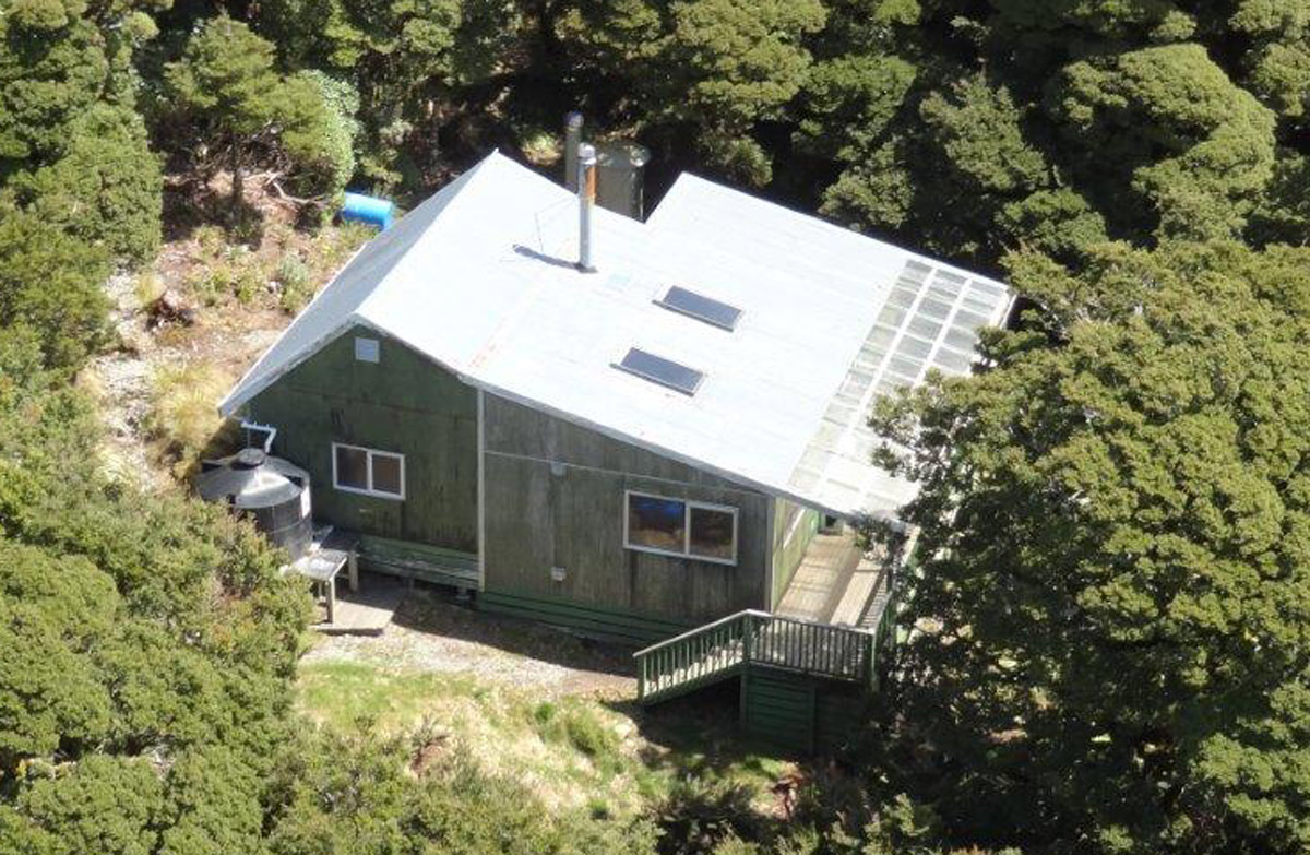
Standard • 20 bunks • Wellington • 4.6 km
Alpha Hut is a standard 20-bunk hut located in the Wairarapa region.
Heating • Mattresses • Toilets - non-flush
Cone Hut
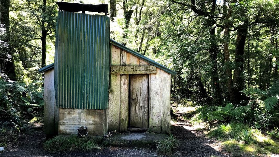
Basic/bivvies • 6 bunks • Wellington • 5.1 km
Cone Hut is a basic six-bunk hut in the Wairarapa region. It is the second oldest hut in the Tararuas.
Heating • Toilets - non-flush • Water from stream
Walks nearby
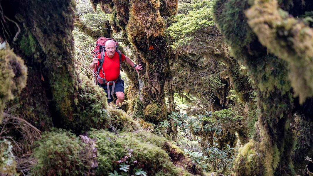
Cone Ridge Tracks
Advanced • 3.55 km away
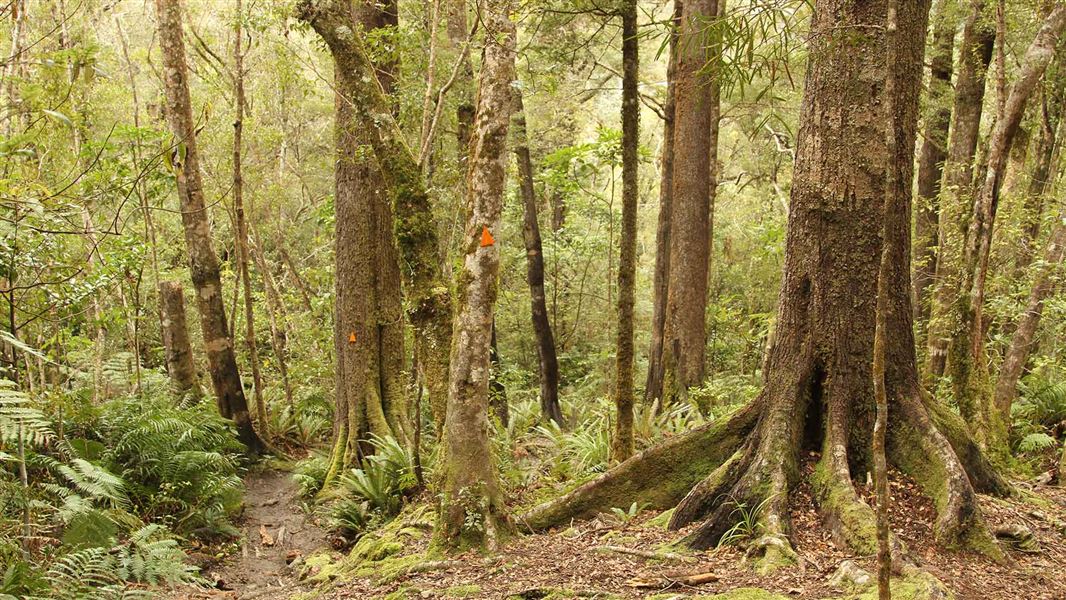
Neill Forks to Maungahuka Track
Advanced • 4 hr • 3.8 km • 4.53 km away
Holdsworth - Kaitoke Track
Advanced • 2–3 days • 36 km • 5.12 km away
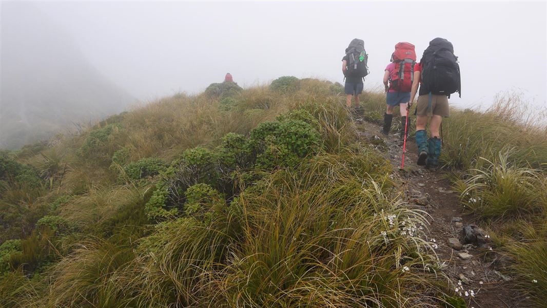
Tararua Southern Crossing
Advanced • 3 days • 5.16 km away
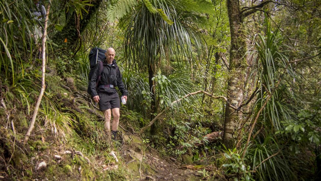
Lower Waiohine Track
Intermediate • 4 hr and 30 min • 8.7 km • 6.41 km away
Notes from people who have been
No notes yet. If you have been, say what you found.
Something missing or out of date?
Closed, moved, wrong facts, or something we have missed? Travellers keep the Road Guide up to date. Tell us what you found at contribute@parkup.nz and we will check it and add it.
Ask us to take this down
A person reads every request. We do not remove a place until we have checked it.
Sources
- DOC Huts (API) · CC BY 4.0Crown Copyright: Department of Conservation Te Papa Atawhai. Data sourced from the DOC Developer Portal (api.doc.govt.nz).
- OpenStreetMap Huts · ODbL (Open Database License)Contains information from OpenStreetMap, made available under the ODbL.