Maungahuka Hut
Standard hutTararua Forest Park, WellingtonOpen
Current advisories
Predator control for part of Tararua Forest Park
02 June 2026
We distributed toxic bait pellets containing 1080 by helicopter on 19 May 2026. A caution period is in place for approximately 8 months. Visitors are advised not to take dogs into the area until the caution period has ended. 1080 is deadly to dogs. How to keep dogs safe around 1080 . This operation is part of DOC's National Predator Control Programme to protect native species. First published on 2 May 2026. Last reviewed on 3 June 2026.
Source: DOC Te Papa Atawhai alerts.
- Sleeps
- 10 bunks
- Booking
- Not bookable
- Cost
- from $15
- Heating
- None
- Drinking water
- Boil first
- Toilet
- Non-flush
Getting there
We have not checked a road end or car park for this place yet, so we do not give driving directions to it. Check how to get there before you go. Some routes cross private land and need the landowner's permission.
How to get there, on doc.govt.nzMaungahuka Hut is best accessed from Otaki Forks on the western side of the Tararua Ranges, or Holdsworth Road end on the eastern side.
Ōtaki Forks is 19 km inland from Ōtaki township – approximately 1 hr 30 min drive from Wellington or Palmerston North. The easiest turnoff from SH1 is at Ōtaki Gorge Road, just south of the SH1 bridge over the Ōtaki River.
From Otaki Forks, tramp to Kime Hut (5–6 hr). Then cross the peaks to Maungahuka Hut (another 7–9 hr).
2 km south of Masterton, turn off SH2 into Norfolk Road, which turns into Mt Holdsworth Road. Follow signs to Tararua Forest Park, about 15 km from SH2.
From here, climb to Neill Forks Hut via Totara Flats and Cone Ridge (8 hr), then continue on to Maungahuka Hut (another 3 hr).
Mangahuka Hut is 5–7 hr from Anderson Memorial Hut.
- Topo map
- Topo50 sheet BP33
- Grid reference
- E1796565, N5468366
Source: DOC Te Papa Atawhai.
Map
Map data © OpenStreetMap contributors. Topo map: LINZ, CC BY 4.0. 40.91224° S, 175.33397° E
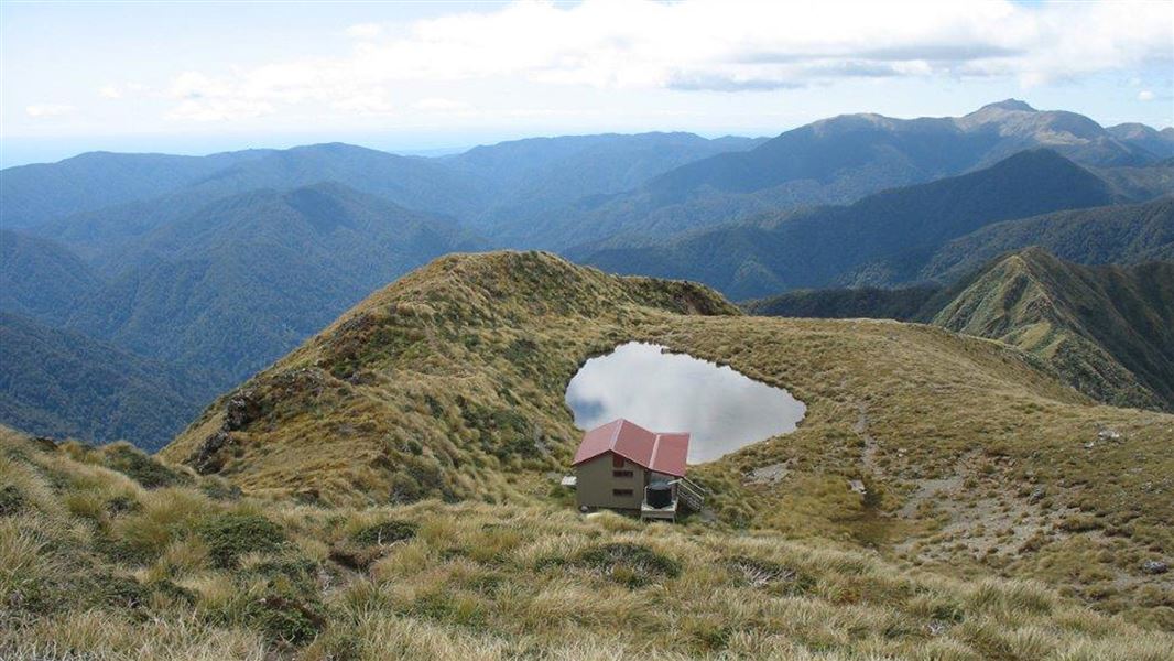
About this place
This is a standard 10-bunk hut in the Wairarapa region.
Fees and bookings
Before you go, buy Hut Tickets for each night's stay. Put these in the honesty box at the hut. Or buy a Backcountry Hut Pass that gives unlimited use at most Standard and Serviced huts for a 12 month period. Retailers that sell hut tickets and passes
Source: DOC Te Papa Atawhai.
Nearby stops
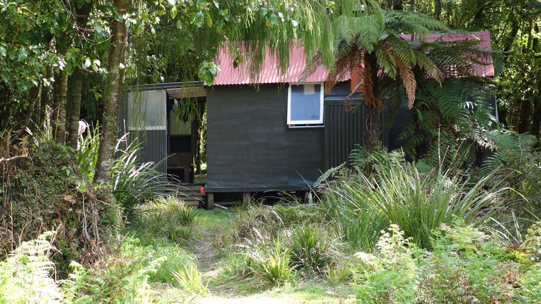
Neill Forks Hut
Standard • 6 bunks • Wellington • 2.9 km
Neill Forks Hut is a standard six-bunk hut located in the Wairarapa region of Wellington.
Heating • Mattresses • Toilets - non-flush

Aokaparangi Hut
Basic/bivvies • 2 bunks • Wellington • 3.2 km
Aokaparangi Hut is a basic two-bunk hut located in the Kapiti region of Wellington.
Mattresses • Toilets - non-flush • Water from tap - not treated, boil before use
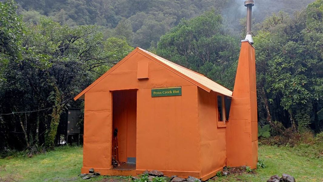
Penn Creek Hut
Standard • 6 bunks • Wellington • 4.2 km
Penn Creek Hut is a standard six-bunk hut located in the Kapiti region of Wellington.
Heating • Mattresses • Toilets - non-flush
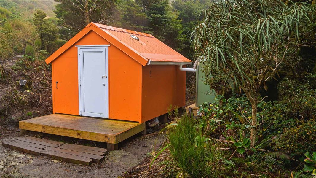
Winchcombe Biv
Basic/bivvies • 2 bunks • Wellington • 4.6 km
Winchcombe Biv is a two-bunk forestry service style bivouac located in the Tararua Forest Park. It includes two mattresses, room for one additional sleeping…

Mid Waiohine Hut
Standard • 6 bunks • Wellington • 5.8 km
Mid Waiohine Hut is a standard six-bunk hut located in the Wairarapa region.
Heating • Mattresses • Toilets - non-flush
Walks nearby
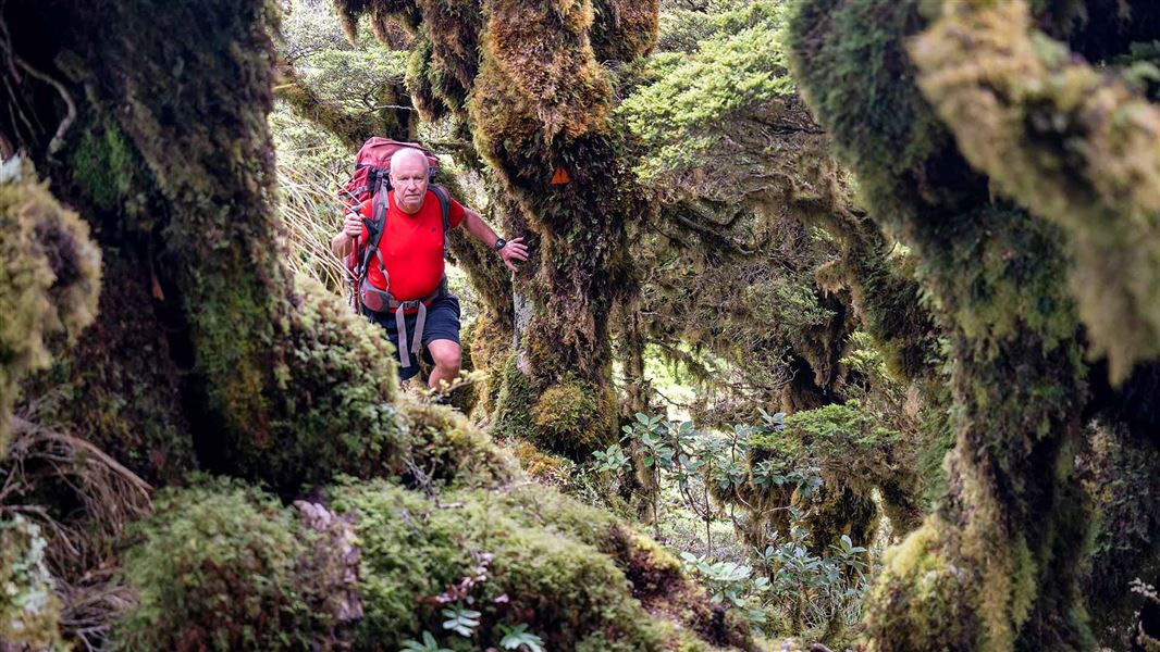
Neill Forks to Maungahuka Track
Advanced • 4 hr • 3.8 km • 1.75 km away
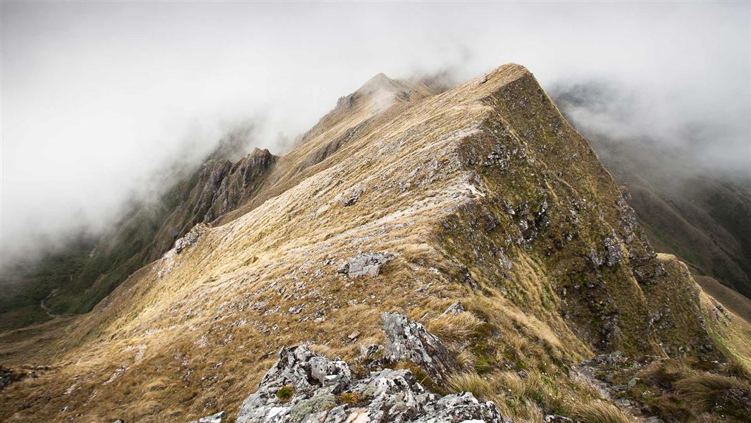
Neill Winchcombe Circuit
Advanced • 3 days • 4.11 km away
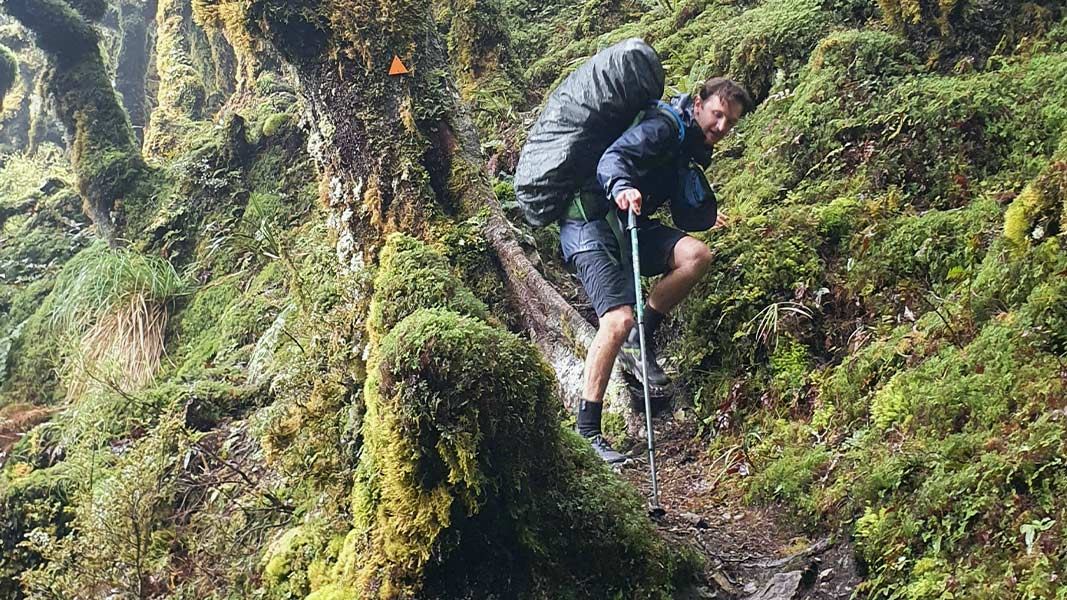
Cone Ridge Tracks
Advanced • 5.41 km away
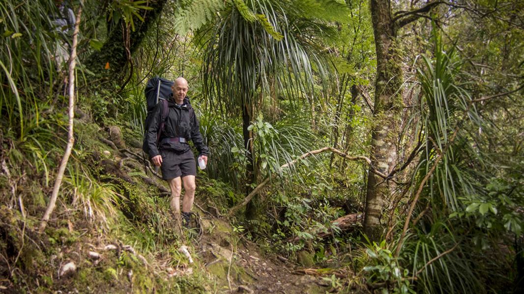
Lower Waiohine Track
Intermediate • 4 hr and 30 min • 8.7 km • 7.04 km away
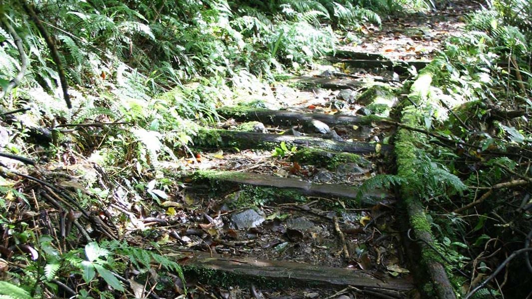
Waitewaewae Hut Track
Advanced • 5 - 7 hr one way • 7.84 km away
Contact
Wellington/Kapiti information
Regional DOC service centre.
Notes from people who have been
No notes yet. If you have been, say what you found.
Something missing or out of date?
Closed, moved, wrong facts, or something we have missed? Travellers keep the Road Guide up to date. Tell us what you found at contribute@parkup.nz and we will check it and add it.
Ask us to take this down
A person reads every request. We do not remove a place until we have checked it.
Sources
- DOC Huts · CC BY 4.0Data sourced from the Department of Conservation (DOC), New Zealand.
- OpenStreetMap Huts · ODbL (Open Database License)Contains information from OpenStreetMap, made available under the ODbL.
- DOC Huts (API) · CC BY 4.0Crown Copyright: Department of Conservation Te Papa Atawhai. Data sourced from the DOC Developer Portal (api.doc.govt.nz).