Mid Styx Hut
Basic/bivvies hutKelly Range – Styx River area, West CoastOpen
- Sleeps
- 4 bunks
- Booking
- Not bookable
- Heating
- Yes
- Drinking water
- Not drinkable
- Toilet
- Yes
Getting there
We have not checked a road end or car park for this place yet, so we do not give driving directions to it. Check how to get there before you go. Some routes cross private land and need the landowner's permission.
How to get there, on doc.govt.nz- Topo map
- Topo50 sheet BV19
- Grid reference
- E1456731, N5249274
Source: DOC Te Papa Atawhai.
Map and tracks
Track lines: DOC Te Papa Atawhai. Map data © OpenStreetMap contributors. Topo map: LINZ, CC BY 4.0. 42.89570° S, 171.24526° E
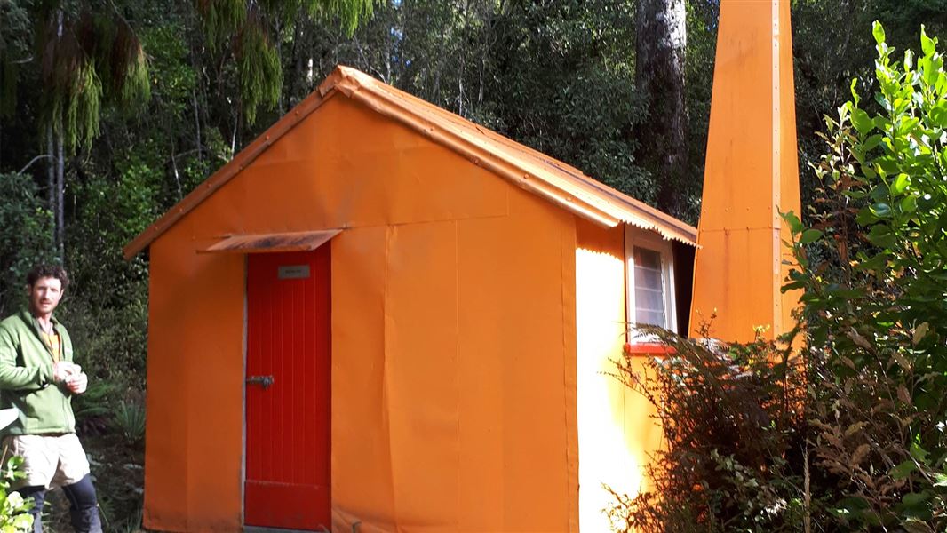
About this place
This is a basic four-bunk hut in the Hokitika area.
On the way here
Arahura and Styx valleys tracks · 2–4 days
Styx Road End to Mid-Styx Hut
Time: 2 hr 30 mins to 3 hours
From the carpark the route initially follows an old farm track. Where the Styx River cuts in against a large shingle bluff, ford across the river to the true left where the route recommences and goes to Tyndall Creek. Head up Tyndall Creek for just over a kilometre to around the 400m contour line. Here the track exits on the true right of Tyndall Creek and climbs steeply up onto a bush terrace. The route is exposed for parts of the ascent. The track flattens at the top of the climb and continues along the terrace for half an hour to the Hut. Tyndall Creek is likely to be uncrossable following heavy rain.
Mid-Styx Hut to Grassy Flats Hut
Time: 1 hr 30 mins
From Mid Styx Hut the track travels across the terrace for about 30 minutes before dropping steeply back down to the Styx, which is crossed again picking up the route on the true right. Due to the river constantly changing, it may be necessary to cross a large side creek east of the route down from Mid Styx in order to find a safe crossing of the Styx River. Once across the Styx it is around 1 hour to Grassy Flat Hut.
Three Passes Route · 4 - 5 days
Grassy Flat Hut to Mid-Styx Hut
Time: 1 hr 30 mins
From the hut head downstream and re-cross Styx River. The track begins on the true right just below the prominent toetoe flat (toetoe is a tall native grass that looks similar to pampas grass). Head down stream on the true right for around an hour. At sign indicates the route down to the river and to Mid Styx. The river must be crossed to pick up the route on the true left, however due to the constantly changing nature of the river, the crossing may be 100 – 200 m up or downstream of the sign. Dependent on the river crossing point it may be necessary to cross a large side creek in order to pick up the route to Mid Styx Hut. The route climbs steeply to a terrace and after around 30 minutes you’ll arrive at the Hut.
Mid-Styx Hut To Lake Kaniere Road
Time: 2 hr 30 mins to 3 hours
From mid-Styx the route continues along the terrace for about 30 minutes before dropping steep into Tyndall Creek. This descent is exposed in places. Once in Tyndall Creek cross to the true left and travel for just over a kilometre to the Styx River. The route then travels downstream on the true left of the Styx River. The Styx is crossed again to an old farm track that leads to the carpark at Lake Kaniere Road.
Toaroha/Zit Saddle/Kokatahi/Lathrop Saddle/Styx River Route · 3-4 days
Grassy Flats Hut to Mid-Styx Hut
Time: 3 hr 30 min – 5 hr
From the hut head downstream and re-cross Styx River. The track begins on the true right just below the prominent toetoe flat (toetoe is a tall native grass that looks similar to pampas grass). Head down stream on the true right for around an hour. At sign indicates the route down to the river and to Mid Styx. The river must be crossed to pick up the route on the true left, however due to the constantly changing nature of the river, the crossing may be 100 – 200 m up or downstream of the sign. Dependent on the river crossing point it may be necessary to cross a large side creek in order to pick up the route to Mid Styx Hut. The route climbs steeply to a terrace and after around 30 minutes you’ll arrive at the Hut.
Mid-Styx Hut To Lake Kaniere Road
Time: 2 hr 30 mins to 3 hours
From mid-Styx the route continues along the terrace for about 30 minutes before dropping steeping into Tyndall Creek. This descent is exposed in places. Once in Tyndall Creek cross to the true left and travel for just over a kilometre to the Styx River. The route then travels downstream on the true left of the Styx River. The Styx is crossed again to and an old farm track leads to the carpark at the Lake Kaniere Road.
Source: DOC Te Papa Atawhai.
Trip options
Walking times come from DOC track descriptions, added up leg by leg from car-accessible trailheads. Nights and return times are ParkUp estimates, allowing about 8 hours of walking a day.
4 options · 1 to 5 nights
Styx Road End
Walking in
2 hr 30 min
Walking out
1 hr 30 min to Harman Hut (via Grassy Flats Hut, Mudflats Hut, Lower Arahura Hut)
Walking in
2 hr 30 min
Walking out
2 hr 30 min to Styx Road End
Tracks used: Arahura and Styx valleys tracks → Three Passes Route
Walking in
2 hr 30 min
Walking out
35 hr 30 min to SH73 (via Carrington Hut, Park Morpeth Memorial Hut, Harman Hut, Grassy Flat Hut)
Source: DOC Te Papa Atawhai track descriptions.
Fees and bookings
Free
Source: DOC Te Papa Atawhai.
On these tracks
Source: DOC Te Papa Atawhai.
Nearby stops
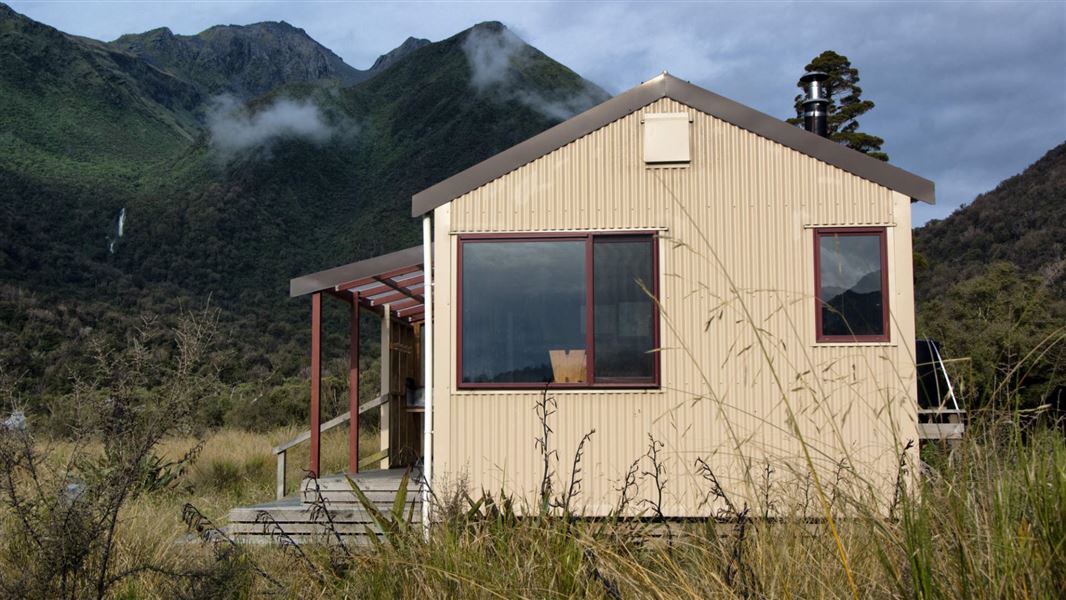
Grassy Flat Hut
Standard • 10 bunks • West Coast • 3.8 km
Grassy Flat Hut is a standard ten-bunk hut located 12 km up the Styx River in the Hokitika area of the West Coast. The site has historical significance as a…
Heating • Mattresses • Toilets - non-flush
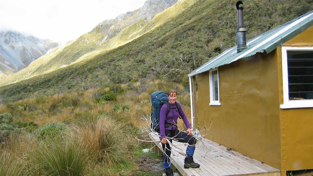
Harman Hut
Standard • 6 bunks • West Coast • 6.8 km
Harman Hut is a standard six-bunk hut located in the Hokitika area of the West Coast.
Heating • Mattresses • Toilets - non-flush
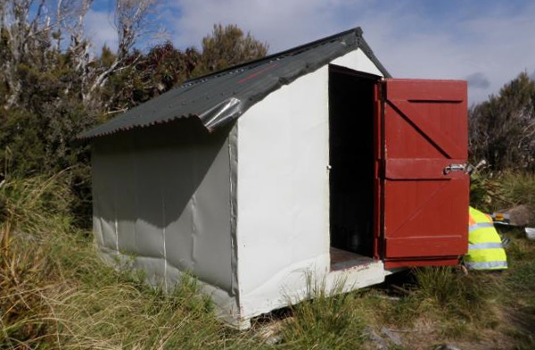
Browning Range Bivvy
Basic/bivvies • 2 bunks • West Coast • 2.6 km
The Browning Range Bivvy is a basic two-bunk hut located in the Hokitika area of the West Coast. It provides simple shelter for walkers in the region.
Mattresses • Toilets - non-flush • Water from tap - not treated, boil before use
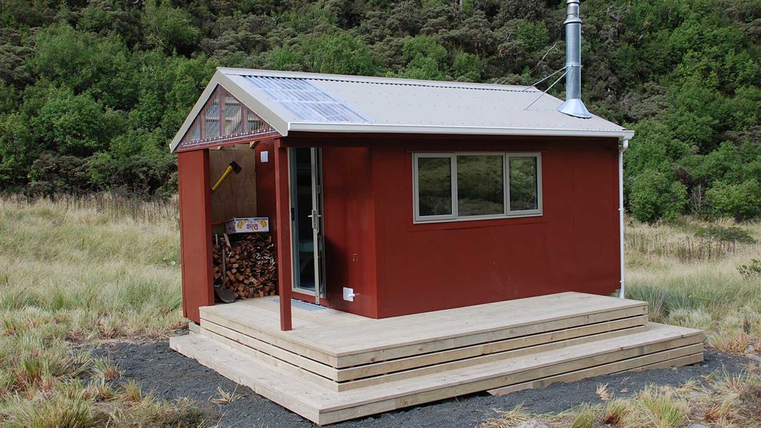
Top Crawford Hut
Basic/bivvies • 4 bunks • West Coast • 5.2 km
Top Crawford Hut is a basic four-bunk hut located in the Hokitika area of the West Coast.
Heating • Mattresses • Toilets - non-flush
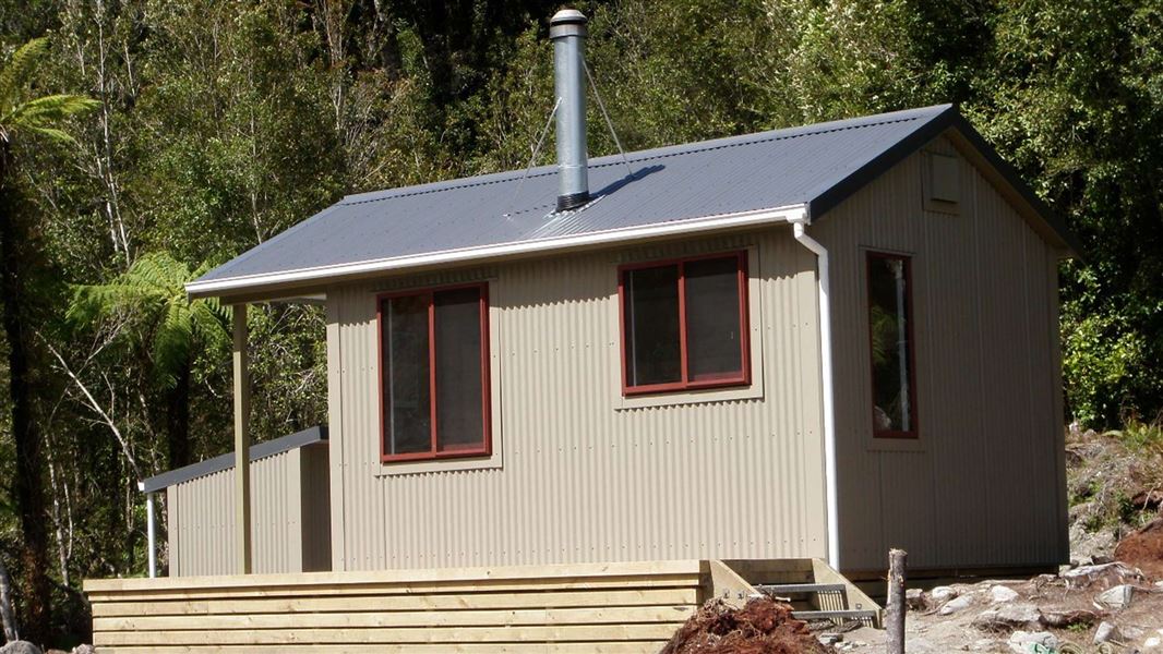
Lower Arahura Hut
Standard • 6 bunks • West Coast • 6.3 km
Lower Arahura Hut is a standard six-bunk hut located in the Hokitika area of the West Coast.
Heating • Mattresses • Toilets - non-flush
Walks nearby
Contact
Paparoa National Park Visitor Centre
4294 Coast Road, Punakaiki, RD 1 Runanga 7873
Regional DOC service centre.
Something missing or out of date?
Closed, moved, wrong facts, or something we have missed? Travellers keep the Road Guide up to date. Tell us what you found at contribute@parkup.nz and we will check it and add it.
Ask us to take this down
A person reads every request. We do not remove a place until we have checked it.
Sources
- DOC Huts (API) · CC BY 4.0Crown Copyright: Department of Conservation Te Papa Atawhai. Data sourced from the DOC Developer Portal (api.doc.govt.nz).
- OpenStreetMap Huts · ODbL (Open Database License)Contains information from OpenStreetMap, made available under the ODbL.
- DOC Huts · CC BY 4.0Data sourced from the Department of Conservation (DOC), New Zealand.