Lower Arahura Hut
Standard hutKelly Range – Styx River area, West CoastOpen
- Sleeps
- 6 bunks
- Booking
- Not bookable
- Cost
- from $15
- Heating
- Yes
- Drinking water
- Boil first
- Toilet
- Non-flush
Getting there
We have not checked a road end or car park for this place yet, so we do not give driving directions to it. Check how to get there before you go. Some routes cross private land and need the landowner's permission.
How to get there, on doc.govt.nz- Topo map
- Topo50 sheet BV19
- Grid reference
- E1461131, N5253773
Source: DOC Te Papa Atawhai.
Map and tracks
Track lines: DOC Te Papa Atawhai. Map data © OpenStreetMap contributors. Topo map: LINZ, CC BY 4.0. 42.85601° S, 171.30024° E
About this place
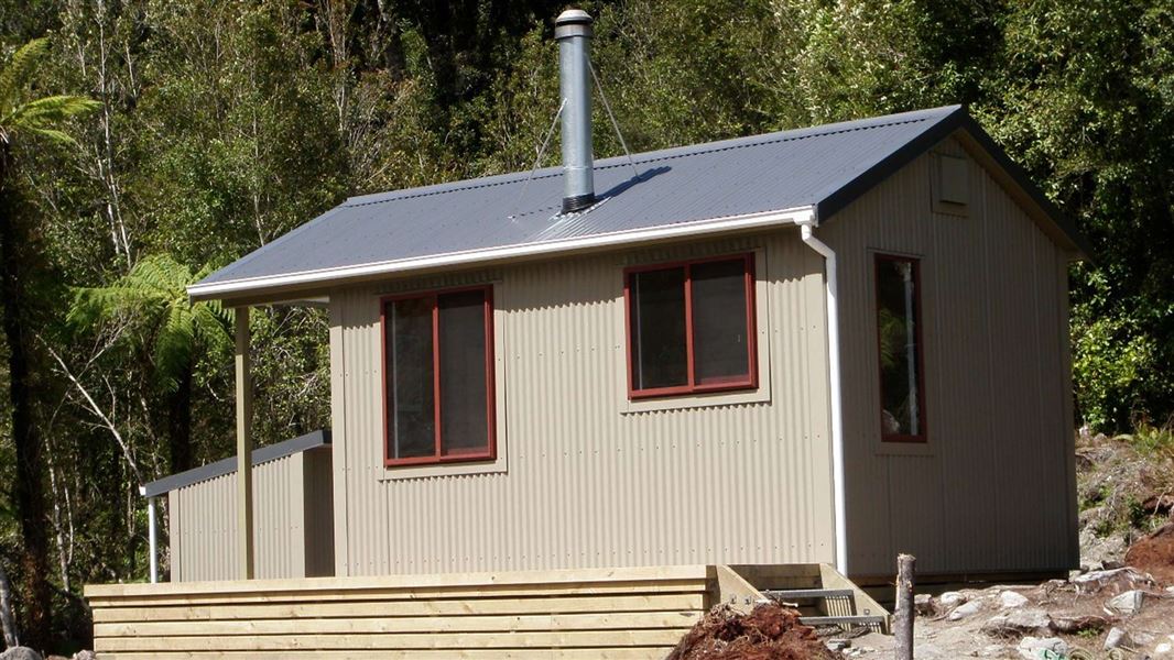
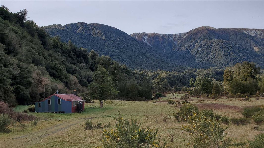
This is a standard six-bunk hut in the Hokitika area.
On the way here
Arahura and Styx valleys tracks · 2–4 days
Mudflats Hut to Lower Arahura Hut
Time: 4 hr 30 mins to 5 hr
From the hut cross back to the true left bank of the river, rejoin the track and climb steeply before crossing Visitor Creek. From here the benched track follows a contour high above the Arahura River. Follow this formed track (with some detours where it has slipped or washed away) down the true left of the valley, continuing past the turn off to Newton Creek Hut. Above the Lower Arahura Hut the track gradually descends from its high contour before dropping into an unnamed creek and emerging onto a short section of track closer to river level. Follow this to the hut, ignoring a swing bridge which is passed on the way.
Lower Arahura Hut to Road End
Time: 2 hr 30 mins to 3 hr 30 mins
From the hut to the road end travel is a mixture of track and riverbed. You will need to negotiate several washed outside streams between the hut and the swing bridge at The Cesspool. Once reached, cross this bridge to the true right bank of the Arahura River and follow the old logging road and river flats through private farmland before reaching the public road near the Milltown Bridge. This road leads to Lake Kaniere and then onto Hokitika which is 26 km away.
Source: DOC Te Papa Atawhai.
Fees and bookings
Before you go, buy Hut Tickets for each night's stay. Put these in the honesty box at the hut. Or buy a Backcountry Hut Pass that gives unlimited use at most Standard and Serviced huts for a 12 month period. Retailers that sell hut tickets and passes
Source: DOC Te Papa Atawhai.
On these tracks
Source: DOC Te Papa Atawhai.
Nearby stops
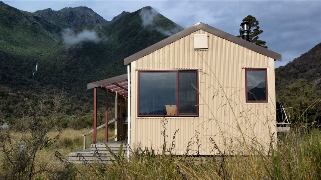
Grassy Flat Hut
Standard • 10 bunks • West Coast • 4 km
Grassy Flat Hut is a standard ten-bunk hut located 12 km up the Styx River in the Hokitika area of the West Coast. The site has historical significance as a…
Heating • Mattresses • Toilets - non-flush
Mudflats Hut
Standard • 6 bunks • West Coast • 5.9 km
Mudflats Hut is a standard six-bunk hut located in the Hokitika area of the West Coast.
Heating • Mattresses • Toilets - non-flush

Mid Styx Hut
Basic/bivvies • 4 bunks • West Coast • 6.3 km
Mid Styx Hut is a basic four-bunk hut located in the Hokitika area of the West Coast.
Heating • Mattresses • Water from stream
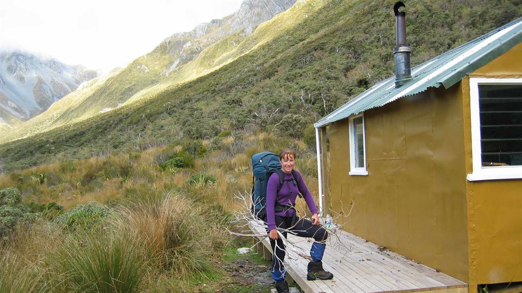
Harman Hut
Standard • 6 bunks • West Coast • 7.3 km
Harman Hut is a standard six-bunk hut located in the Hokitika area of the West Coast.
Heating • Mattresses • Toilets - non-flush
Clements Road End Campsite
Waikato • 591.8 km
Clements Road End Campsite is a basic campsite located in the Tūrangi and Taupō area of the Waikato region. The site is situated at the start of the Hinemaiaia…
Walks nearby
Contact
Paparoa National Park Visitor Centre
4294 Coast Road, Punakaiki, RD 1 Runanga 7873
Regional DOC service centre.
Notes from people who have been
No notes yet. If you have been, say what you found.
Something missing or out of date?
Closed, moved, wrong facts, or something we have missed? Travellers keep the Road Guide up to date. Tell us what you found at contribute@parkup.nz and we will check it and add it.
Ask us to take this down
A person reads every request. We do not remove a place until we have checked it.
Sources
- DOC Huts · CC BY 4.0Data sourced from the Department of Conservation (DOC), New Zealand.
- DOC Huts (API) · CC BY 4.0Crown Copyright: Department of Conservation Te Papa Atawhai. Data sourced from the DOC Developer Portal (api.doc.govt.nz).
- OpenStreetMap Huts · ODbL (Open Database License)Contains information from OpenStreetMap, made available under the ODbL.