Mount Tuhua Track
WalkWest Coast
- Grade
- Advanced
- Walking time
- 7 hr
- Distance
- 7.6 km
- Dogs
- DOC permit only
Getting there
We have not checked a road end or car park for this place yet, so we do not give driving directions to it. Check how to get there before you go. Some routes cross private land and need the landowner's permission.
How to get there, on doc.govt.nzFrom Hokitika head east along Lake Kaniere Road for 19 km. This road meets the lake at 'The Landing'. The road forks at this point, the right road heads to 'Sunny Bight' and the other is Dorothy Falls Road which takes you around the east side of the lake past Hans Bay.
Source: DOC Te Papa Atawhai.
Map
Map data © OpenStreetMap contributors. Topo map: LINZ, CC BY 4.0. 42.81434° S, 171.17448° E
About this place
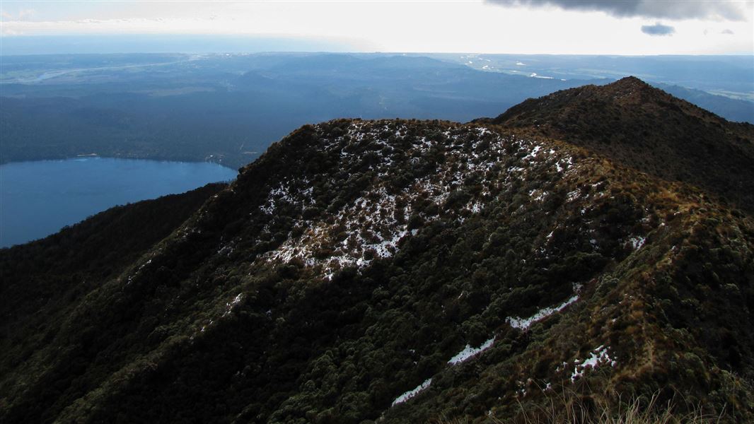
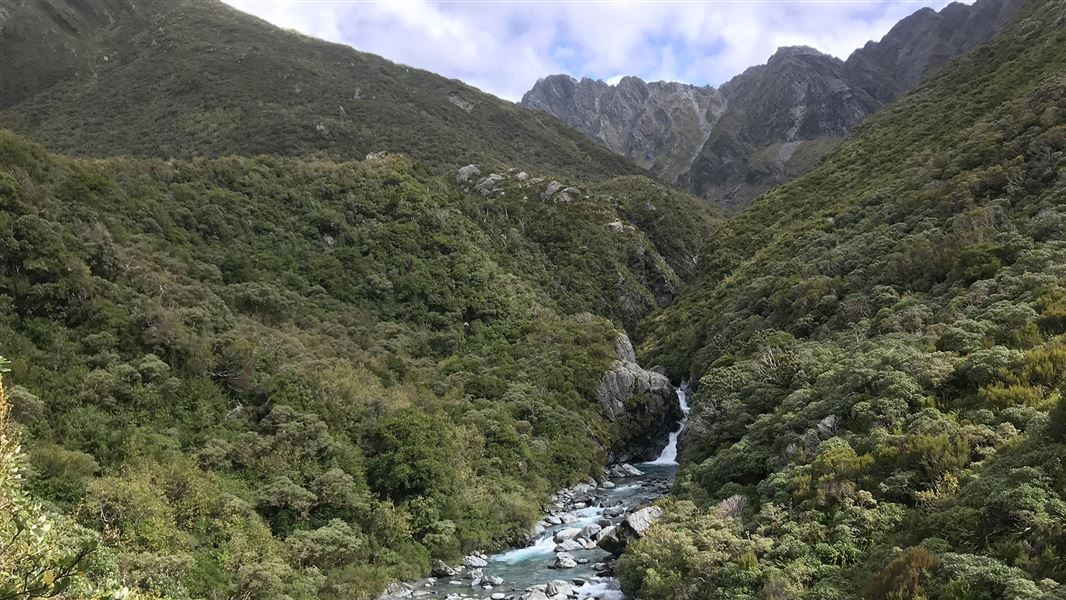
This is a steep tramp to the open tussock peak of Mt. Tuhua (1125 m) and is suitable for fit people only.
The route
The track begins at Lake Kaniere, from the southern end of Hans Bay. The signposted entrance is on the southern side of Tuhua Creek Bridge. This track to the open tussock peak of Mt Tuhua (1,125 m) is steep and is suitable for fit trampers only. The track is marked with orange triangles for its entire length. Check weather and track conditions before setting out.
Source: DOC Te Papa Atawhai.
Nearby stops

Hans Bay - Lake Kaniere Campsite
Standard • West Coast • 1.7 km
Hans Bay is a large, grassy campsite located on the shores of Lake Kaniere in the West Coast region. Visitors can fish from the jetty, boat, or swim in the…
Boat launching • Jetty • Non-powered/tent sites

Mt Brown Hut
Standard • 4 bunks • West Coast • 6.5 km
Mt Brown Hut is a DOC hut on the West Coast. The hut deck offers views overlooking Lake Kaniere, Hokitika, and the sea.
Heating • Mattresses • Toilets - non-flush
Trappers Rest
West Coast • 8 km
Newton Range Bivvy
Basic/bivvies • 2 bunks • West Coast • 10.5 km
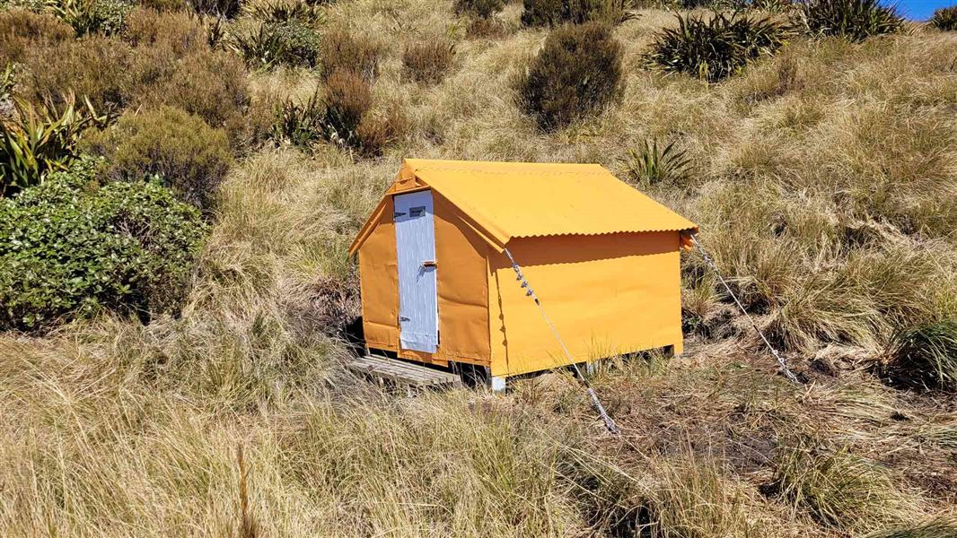
Newton Range Bivvy is a basic two-bunk hut located in the Hokitika area of the West Coast.
Toilets - non-flush • Water from stream • Water supply

Mid Styx Hut
Basic/bivvies • 4 bunks • West Coast • 10.7 km
Mid Styx Hut is a basic four-bunk hut located in the Hokitika area of the West Coast.
Heating • Mattresses • Water from stream
Walks nearby
Something missing or out of date?
Closed, moved, wrong facts, or something we have missed? Travellers keep the Road Guide up to date. Tell us what you found at contribute@parkup.nz and we will check it and add it.
Ask us to take this down
A person reads every request. We do not remove a place until we have checked it.
Sources
- DOC Tracks (API) · CC BY 4.0Crown Copyright: Department of Conservation Te Papa Atawhai. Data sourced from the DOC Developer Portal (api.doc.govt.nz).