Clements Road End Campsite
CampsiteWaikato
- Booking
- Not bookable
- Toilet
- Yes
- Dogs
- DOC permit only
Map and tracks
Track lines: DOC Te Papa Atawhai. Map data © OpenStreetMap contributors. Topo map: LINZ, CC BY 4.0. 38.98850° S, 176.14278° E
Got a good photo of this place? Send it to us and we will show it with your name.
About this place
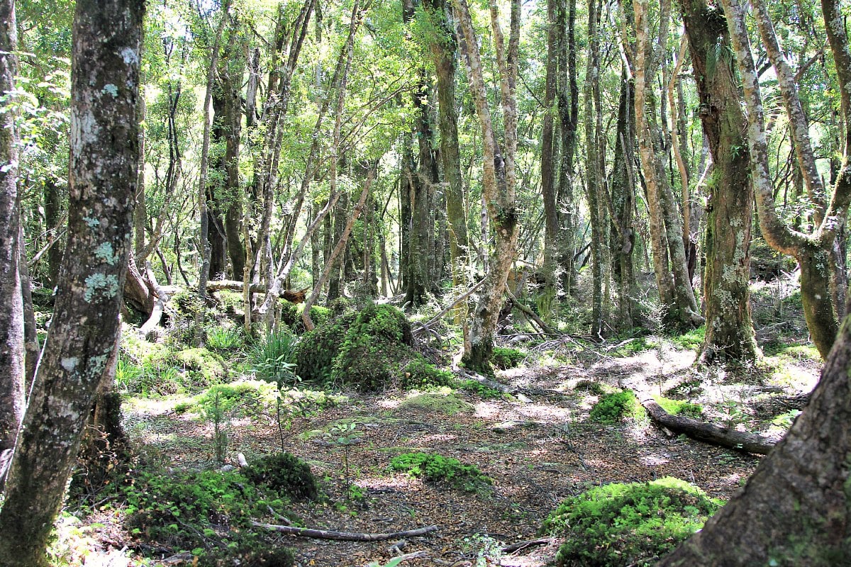
Clements Road End Campsite is a basic campsite located in the Tūrangi and Taupō area of the Waikato region. The site is situated at the start of the Hinemaiaia Track.
Trip options
Walking times come from DOC track descriptions, added up leg by leg from car-accessible trailheads. Nights and return times are ParkUp estimates, allowing about 8 hours of walking a day.
2 options · 5 nights
Roadend
Tracks used: Arahura and Styx valleys tracks → Toaroha, Hokitika, Lower Whitcombe Track
Walking in
35 hr (via Cedar Flat Hut, Top Toaroha Hut, Poet Hut, Bluff Hut, Frew Hut, Rapid Creek Hut)
Walking out
1 hr 30 min to Harman Hut
Walking in
35 hr (via Cedar Flat Hut, Top Toaroha Hut, Poet Hut, Bluff Hut, Frew Hut, Rapid Creek Hut)
Walking out
35 hr to Roadend (via Cedar Flat Hut, Top Toaroha Hut, Poet Hut, Bluff Hut, Frew Hut, Rapid Creek Hut)
Source: DOC Te Papa Atawhai track descriptions.
On these tracks
Source: DOC Te Papa Atawhai.
Nearby stops
Mudflats Hut
Standard • 6 bunks • West Coast • 589.4 km
Mudflats Hut is a standard six-bunk hut located in the Hokitika area of the West Coast.
Heating • Mattresses • Toilets - non-flush
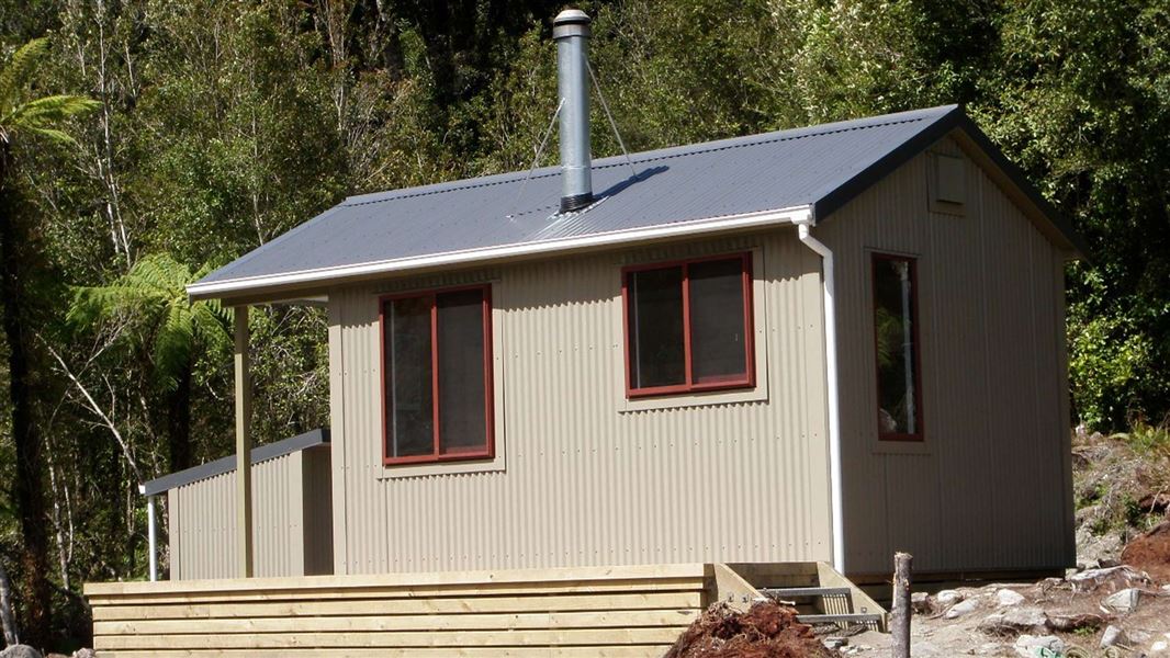
Lower Arahura Hut
Standard • 6 bunks • West Coast • 591.8 km
Lower Arahura Hut is a standard six-bunk hut located in the Hokitika area of the West Coast.
Heating • Mattresses • Toilets - non-flush
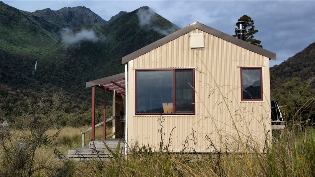
Grassy Flat Hut
Standard • 10 bunks • West Coast • 595.1 km
Grassy Flat Hut is a standard ten-bunk hut located 12 km up the Styx River in the Hokitika area of the West Coast. The site has historical significance as a…
Heating • Mattresses • Toilets - non-flush
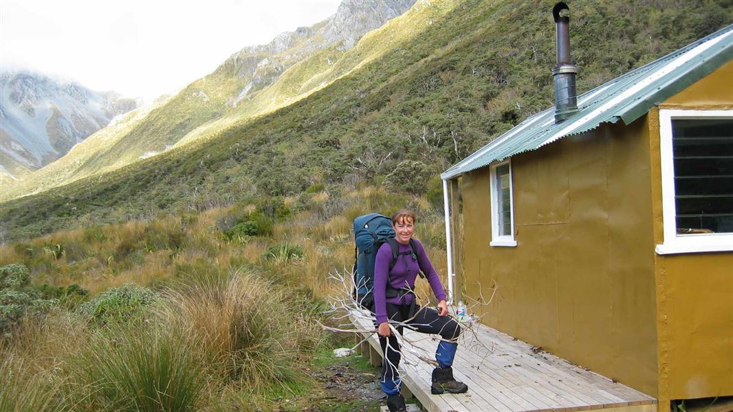
Harman Hut
Standard • 6 bunks • West Coast • 595.6 km
Harman Hut is a standard six-bunk hut located in the Hokitika area of the West Coast.
Heating • Mattresses • Toilets - non-flush

Mid Styx Hut
Basic/bivvies • 4 bunks • West Coast • 598.1 km
Mid Styx Hut is a basic four-bunk hut located in the Hokitika area of the West Coast.
Heating • Mattresses • Water from stream
Walks nearby
Notes from people who have been
No notes yet. If you have been, say what you found.
Something missing or out of date?
Closed, moved, wrong facts, or something we have missed? Travellers keep the Road Guide up to date. Tell us what you found at contribute@parkup.nz and we will check it and add it.
Ask us to take this down
A person reads every request. We do not remove a place until we have checked it.
Sources
- OpenStreetMap Campsites · ODbL (Open Database License)Contains information from OpenStreetMap, made available under the ODbL.