Hamilton Hut
Serviced hutCraigieburn Forest Park, CanterburyOpen
- Sleeps
- 20 bunks
- Booking
- Can book
- Cost
- from $10
- Heating
- Yes
- Drinking water
- Boil first
- Toilet
- Non-flush
Getting there
We have not checked a road end or car park for this place yet, so we do not give driving directions to it. Check how to get there before you go. Some routes cross private land and need the landowner's permission.
How to get there, on doc.govt.nz- Topo map
- Topo50 sheet BW20
Source: DOC Te Papa Atawhai.
Map and tracks
Track lines: DOC Te Papa Atawhai. Map data © OpenStreetMap contributors. Topo map: LINZ, CC BY 4.0. 43.12933° S, 171.62992° E
About this place
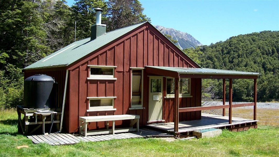
This is a serviced 20-bunk hut in the North Canterbury and Arthur's Pass area.
On the way here
Cass-Lagoon Saddle Track · 2 - 3 days
Summer is the best season for this track
Because of the high avalanche danger and the frequency of winter snowfalls, this route is best attempted from late spring to early autumn. There is simple avalanche terrain on the Cass-Lagoon Saddle Track from Bealey Hut to Hamilton Hut, and complex avalanche terrain from the Cass River SH73 road end to Hamilton Hut. All times are one way unless otherwise stated.
Cass Saddle Hut to Hamilton Hut
Time: 2 hours 30 minutes one way
The tussock basin above Cass Saddle Hut is reached shortly after leaving the hut, and the poled route climbs gradually to the saddle. Hamilton Hut can be seen in the distance down the valley. Traverse left for 200 metres to the start of the cut track. This is an area of high avalanche risk. Avalanches frequently cross the entire Cass Saddle area in winter. During heavy snow conditions, we advise visitors not to travel this route. The track drops steeply from the saddle, and then more gently through the bush terraces, joining Hamilton Creek 15 minutes from Hamilton Hut. The 20 bunk hut has a wood burning stove and a radio linked to Arthur's Pass Visitor Centre. Calls can be made during office hours to obtain weather forecasts.
Side trip: The Pinnacles
Time: 4–6 hours return
In the lower Harper valley, erosion has formed an interesting geological feature that makes a worthwhile side trip from Hamilton Hut. The Pinnacles were made from geologically young rock, about 3–7 million years ago, consisting of alluvial sands and gravels. Erosion, caused by rain water washing away the exposed soil, has formed the pinnacle shapes. Pebbles or small stones may be seen on the tops of the pinnacles, temporarily protecting them from erosion. Nearby, the Harper River has exposed older rocks containing marine fossils. The route to The Pinnacles is down the Harper River from Hamilton Creek, following the Te Araroa Trail, initially on a walking track, then a 4WD track. The Harper River needs to be crossed several times – crossings should not be attempted if the river is high. The 4WD track crosses private farmland; please do not disturb any stock. The Pinnacles are set back a short way on the true right bank.
Hamilton Hut to West Harper Hut
Time: 2 hours 30 minutes one way
From Hamilton Hut to Bealey Hut, you are in simple avalanche terrain. Even though the track is in the forest, avalanches can reach the track from the mountains above. The greatest risk in this section is from Harper River to Lagoon Saddle Hut, as avalanches can travel from the Mt Bruce ridges to the track. Read more about avalanche risk in the Know Before You Go section or on this webpage . The route crosses Hamilton Creek at the footbridge 10 minutes downstream from Hamilton Hut and leads to a swing bridge across Harper River, a short distance above its confluence with Hamilton Creek. After crossing the swing bridge, the route continues upstream on the true right of the river to West Harper Hut. In fine weather and suitable conditions, the riverbed offers an easy alternative with several fine swimming holes along the way. West Harper Hut (a hut built in the 1950s) has five canvas bunks, a fireplace and a dirt floor.
Source: DOC Te Papa Atawhai.
Trip options
Walking times come from DOC track descriptions, added up leg by leg from car-accessible trailheads. Nights and return times are ParkUp estimates, allowing about 8 hours of walking a day.
2 options · 1 to 2 nights
Cass car park
Walking in
6 hr 30 min (via Cass Saddle Hut)
Walking out
6 hr 30 min to Cass car park (via Cass Saddle Hut)
Walking in
6 hr 30 min (via Cass Saddle Hut)
Walking out
8 hr 30 min to Bealey Hut and SH73 (via West Harper Hut, Lagoon Saddle Hut)
Source: DOC Te Papa Atawhai track descriptions.
Fees and bookings
1 May - 30 September
1 October - 30 April
Weekdays
Weekends
1 December - 29 February
Weekdays
Weekends
Backcountry Hut Passes Passes are valid for use in this hut from 1 May to 30 September. Passes Te Araroa – The Trail Pass Te Araroa Trail Pass Before you go, buy Hut Tickets for each night's stay. Put this in the honesty box at the hut. Or buy a Backcountry Hut Pass or Campsite Pass. About hut tickets and passes About campsite passes Retailers that sell hut tickets and passes
Bookings are open for stays up to 30 June 2027. If no availability shows online for your dates, the hut is fully booked. No spaces are kept for visitors arriving without a booking. Phone and in‑person bookings made at a visitor centre incur a $10 service fee. Same‑day bookings are available online until 8 pm if spaces remain. Book Hamilton Hut online .
Source: DOC Te Papa Atawhai.
Nearby stops

West Harper Hut
Basic/bivvies • 5 bunks • Canterbury • 3.8 km
West Harper Hut is a basic five-bunk hut located in the North Canterbury and Arthur's Pass area.
Heating • Toilets - non-flush • Water from stream

Cass Saddle Hut
Basic/bivvies • 3 bunks • Canterbury • 6.2 km
Cass Saddle Hut is a basic three-bunk hut located in the North Canterbury and Arthur's Pass area.
Heating • Mattresses • Toilets - non-flush
Lagoon Saddle A Frame
Basic/bivvies • 2 bunks • Canterbury • 8.6 km
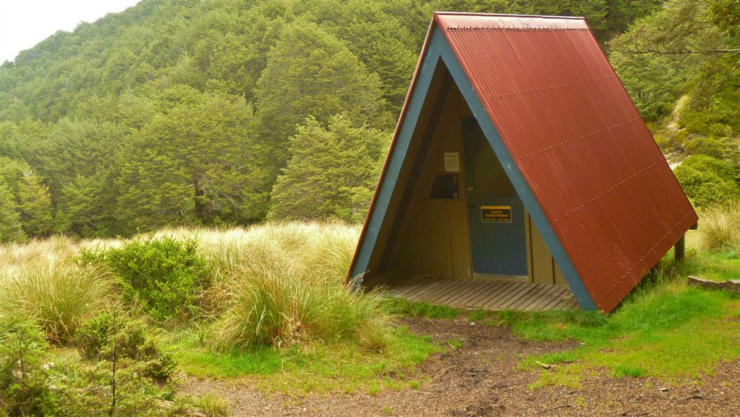
Lagoon Saddle A Frame is a basic bivvy shelter in Canterbury that has no mattresses.
Mattresses • Toilets - non-flush • Water from stream
Bealey Hut
Basic/bivvies • 6 bunks • Canterbury • 10.2 km
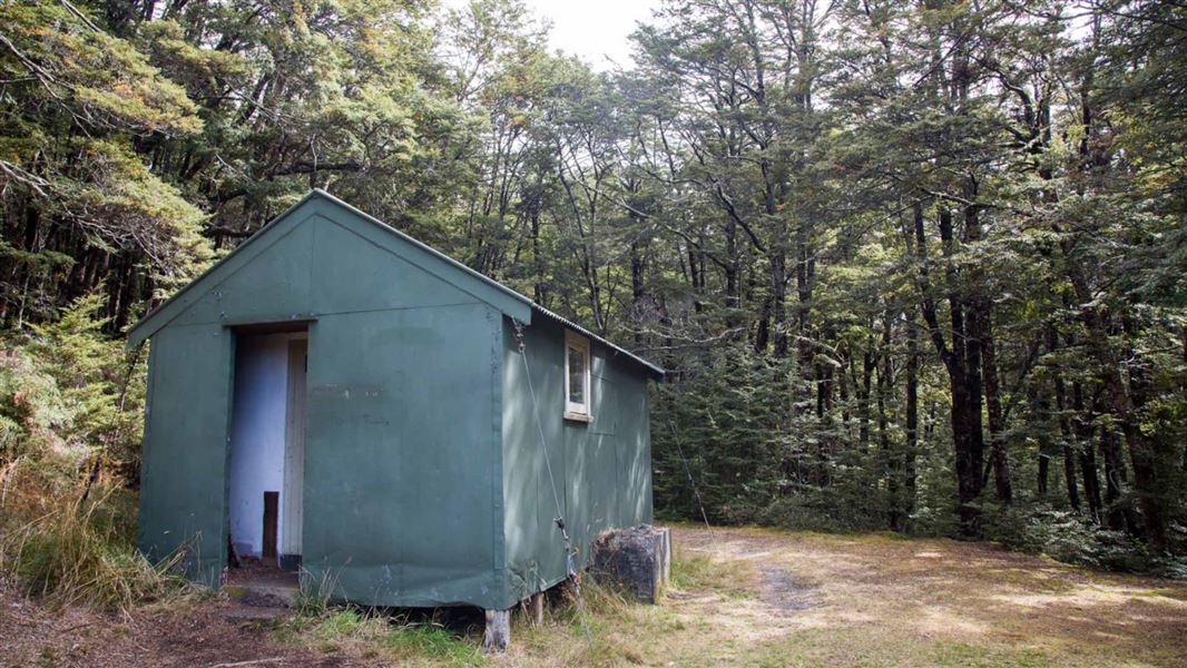
Bealey Hut is a basic six-bunk hut located in the North Canterbury and Arthur's Pass area of Canterbury.
Mattresses • Toilets - non-flush • Water from tap - not treated, boil before use
Cass
Canterbury • 14.6 km
Cass is a campsite located in the Canterbury region of New Zealand. The available records provide no further details regarding specific facilities or amenities…
Walks nearby
Camp Saddle Track
Advanced • 1 - 2 hr • 5.72 km away
Cockayne Alley Track
Intermediate • 2 hr • 4 km • 6.04 km away

Cuckoo Creek Track
Intermediate • 1 hr • 2 km • 6.04 km away
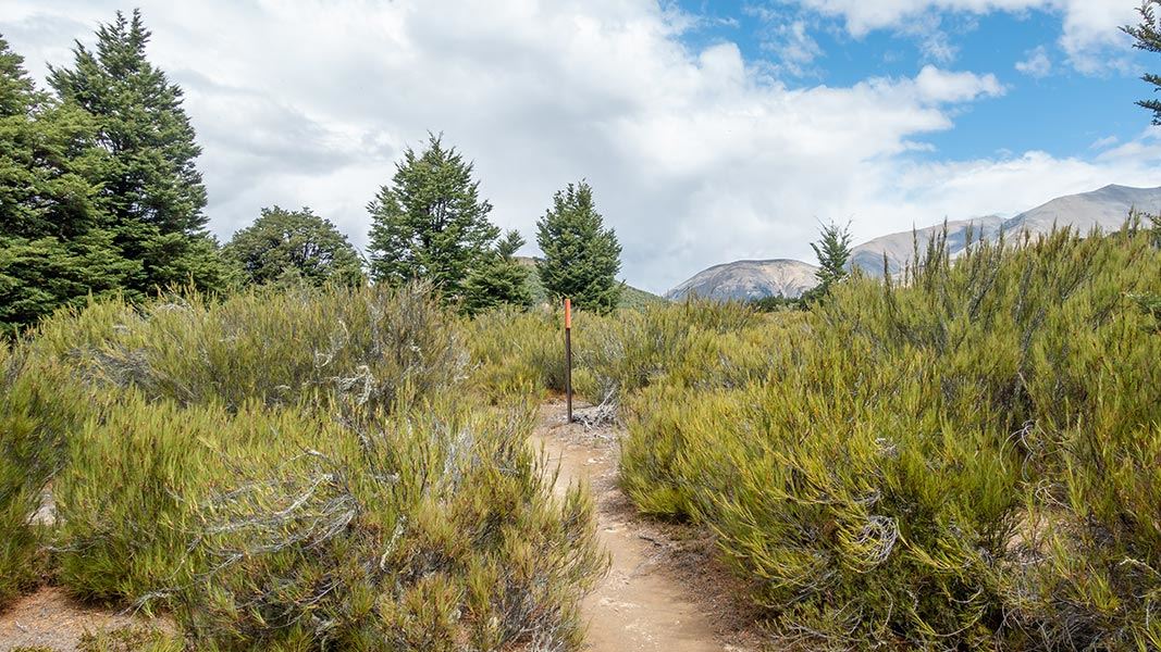
Dracophyllum Flat Track
Intermediate • 5.8 km • 7.01 km away
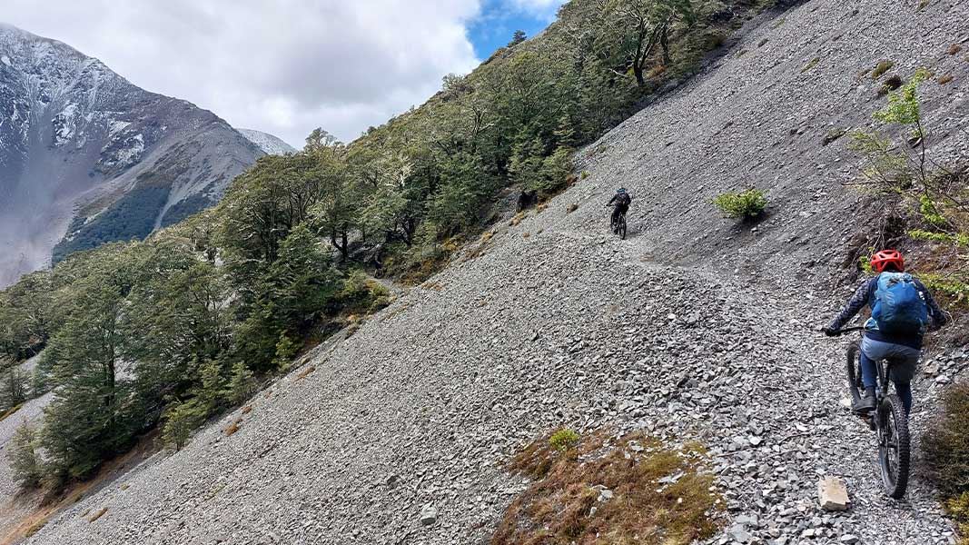
Craigieburn Edge Track
Intermediate • 1 hr 15 min • 4.5 km • 7.15 km away
Contact
Arthur's Pass National Park Visitor Centre
104 West Coast Road, Arthur's Pass 7654
Regional DOC service centre.
Notes from people who have been
No notes yet. If you have been, say what you found.
Something missing or out of date?
Closed, moved, wrong facts, or something we have missed? Travellers keep the Road Guide up to date. Tell us what you found at contribute@parkup.nz and we will check it and add it.
Ask us to take this down
A person reads every request. We do not remove a place until we have checked it.
Sources
- DOC Huts (API) · CC BY 4.0Crown Copyright: Department of Conservation Te Papa Atawhai. Data sourced from the DOC Developer Portal (api.doc.govt.nz).
- DOC Huts · CC BY 4.0Data sourced from the Department of Conservation (DOC), New Zealand.
- OpenStreetMap Huts · ODbL (Open Database License)Contains information from OpenStreetMap, made available under the ODbL.