Cass
CampsiteCanterbury
- Drinking water
- Safe to drink
Map and tracks
Track lines: DOC Te Papa Atawhai. Map data © OpenStreetMap contributors. Topo map: LINZ, CC BY 4.0. 43.03571° S, 171.75512° E
Got a good photo of this place? Send it to us and we will show it with your name.
About this place
Cass is a campsite located in the Canterbury region of New Zealand. The available records provide no further details regarding specific facilities or amenities at this site.
On the way here
Karangarua and Douglas valleys routes · 2 days +
Cassel Flat Hut – Lame Duck Hut
Time: 7 hr From Cassel Flat to Lame Duck Flat follow along the river to the junction with Tui Creek where the marked route commences. Follow the river to the base of a scrubby face, before climbing steeply to the top of a prominent ridge. The route travels along this ridge above the bluffs and then sidles, gaining height through more bluffs at a higher level. The route is less defined here but is easily followed using the markers. Care should be taken on exposed, slippery stream crossings and especially when crossing a washout with 70 m exposure about two-thirds of the way along the sidle section.
After the gorge section the route traverses high above the river on poorly drained terraces before rejoining the river just below Lame Duck Flat. The four bunk Lame Duck Hut was replaced in 2008 by the New Zealand Deerstalkers Association (West Coast branch) and the Safari Club International.
Time: 13 hr
From Cassel Flat Hut cross the flats and use the cableway to cross the Karangarua River to the true right. Ensure that you follow the operating instructions on the cableway as improper use could cause injury. See guidance on using the cableway under 'Know before you go'. After about 5 min the route goes out onto a slip then traverses up a steep bank into the bush. Follow the markers. The route is reasonably well defined but can be lost in fuchsia clearings and windfall areas. There is a campsite just across the three-wire bridge over Regina Creek. From Regina Creek follow the route markers across to the bottom of the climb to Conical Hill Saddle. From here to the scrubline the route is well defined and marked. There are two sections of exposed bedrock where the route regains the scrub after a few minutes. From the scrubline to the tussock line the route is well defined and it is marked across the saddle with metal poles. From Conical Hill Saddle, sections of the route are unmarked. Head north-east up the ridge. There is a section of tight bluffs just up from the saddle. If you stick to the true right of the ridge you should pick up a goat track and a narrow scrubby ledge that is passable. Once through these bluffs, change to the true left of the ridge and traverse up until about the 1400 m contour. Traverse up the valley, staying high to avoid the bluffs on this contour. When the Horace Walker moraine can be sighted straight down below, descend to reach a tussock terrace west of the moraine wall and then drop down to the terrace beside the Douglas River. Traverse east to the four bunk Horace Walker Hut. You will need to cross the Horace Walker River to reach the hut. For information on other routes in the area see guidebooks such as 'Moirs Guide North'. Such routes are not marked and not maintained by the Department.
Cass-Lagoon Saddle Track · 2 - 3 days
A comfortably challenging weekend tramp
This trip is in the dry mountains east of the Main Divide. It crosses riverbeds and rivers, follows forest tracks and crosses two saddles. For a challenging weekend tramp, there is a comfortable 20 bunk hut midway, or take 3–4 days by staying in some of the other basic huts on the route. The track is not marked all the way, so ensure you take a topo map with you. Most trampers prefer to begin the track from the Cass end, as this avoids the steepest ascents. Not all rivers and streams are bridged, so they may be impassable after heavy rainfall.
Summer is the best season for this track
Because of the high avalanche danger and the frequency of winter snowfalls, this route is best attempted from late spring to early autumn. There is simple avalanche terrain on the Cass-Lagoon Saddle Track from Bealey Hut to Hamilton Hut, and complex avalanche terrain from the Cass River SH73 road end to Hamilton Hut. All times are one way unless otherwise stated.
Cass car park to Cass Saddle Hut
Time: 4 hours one way
From the signposted car park at the east end of the Cass River road bridge, follow the vehicle track next to the row of pine trees until it meets Cass River. Follow the riverbed upstream, keeping to the true right bank as much as possible. You will need to cross the river several times. The track climbs into the forest at a marked point just below the junction with Long Valley Stream; it is easy to miss if you are on the wrong side of Cass River so stay on the true right. The river is crossed again via a bridge, then the track climbs for another 20–30 minutes before crossing the river again. Cass Saddle Hut is reached soon after you have crossed to the true right bank. It has three bunks and a wood burning stove. Water can be obtained from a small stream just to the south-east of the hut.
Cass Saddle Hut to Hamilton Hut
Time: 2 hours 30 minutes one way
The tussock basin above Cass Saddle Hut is reached shortly after leaving the hut, and the poled route climbs gradually to the saddle. Hamilton Hut can be seen in the distance down the valley. Traverse left for 200 metres to the start of the cut track. This is an area of high avalanche risk. Avalanches frequently cross the entire Cass Saddle area in winter. During heavy snow conditions, we advise visitors not to travel this route. The track drops steeply from the saddle, and then more gently through the bush terraces, joining Hamilton Creek 15 minutes from Hamilton Hut. The 20 bunk hut has a wood burning stove and a radio linked to Arthur's Pass Visitor Centre. Calls can be made during office hours to obtain weather forecasts.
Lagoon Saddle Hut to Bealey Hut and SH73
Time: 2–3 hours one way
From Lagoon Saddle Hut the track gradually climbs through patches of beech forest above the tarns on Lagoon Saddle. It is marked by poles and markers. Once on the northern face of Mount Bruce, the track descends through tussock and gives views of the snow-capped peaks of Arthur’s Pass National Park and the braided Waimakariri River. The track descends through beech and exotic forest to Bealey Hut (six bunks). A further 5 minute walk from the hut takes you to the car park by Cora Lynn Station, and another 2 minutes to SH73. If you are walking this route in reverse, take the Cora Lynn Road to the Arthur's Pass Wilderness Lodge and Cora Lynn Station and enter through the gate signposted ‘Cass – Lagoon Track’. Note that times may be longer on the uphill sections of the track when walking in this direction.
Source: DOC Te Papa Atawhai.
Trip options
Walking times come from DOC track descriptions, added up leg by leg from car-accessible trailheads. Nights and return times are ParkUp estimates, allowing about 8 hours of walking a day.
8 options · 1 to 3 nights
Cass car park
Walking in
4 hr
Walking out
4 hr to Cass car park
Tracks used: Cass-Lagoon Saddle Track → Karangarua and Douglas valleys routes
Walking in
4 hr
Walking out
6 hr to Karangarua River bridge
Karangarua River bridge
Walking in
6 hr
Walking out
6 hr to Karangarua River bridge
Source: DOC Te Papa Atawhai track descriptions.
On these tracks
Source: DOC Te Papa Atawhai.
Nearby stops

Cass Saddle Hut
Basic/bivvies • 3 bunks • Canterbury • 8.6 km
Cass Saddle Hut is a basic three-bunk hut located in the North Canterbury and Arthur's Pass area.
Heating • Mattresses • Toilets - non-flush
Bealey Hut
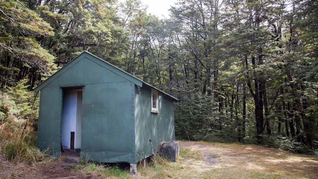
Basic/bivvies • 6 bunks • Canterbury • 9.2 km
Bealey Hut is a basic six-bunk hut located in the North Canterbury and Arthur's Pass area of Canterbury.
Mattresses • Toilets - non-flush • Water from tap - not treated, boil before use
Lagoon Saddle A Frame
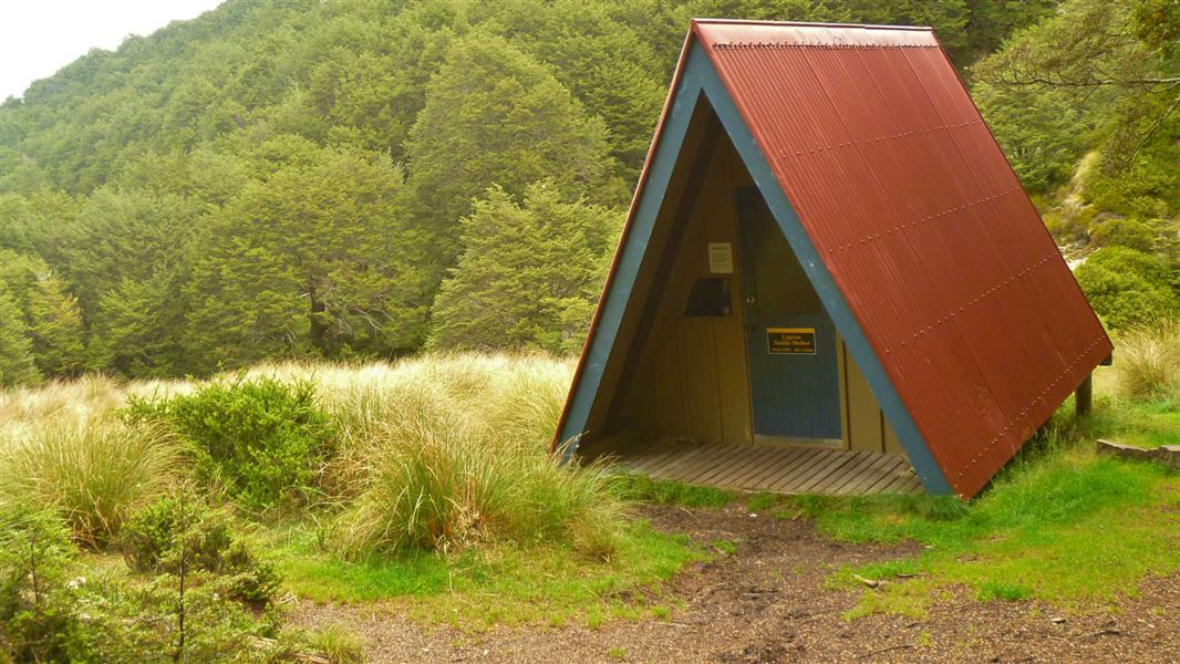
Basic/bivvies • 2 bunks • Canterbury • 12.7 km
Lagoon Saddle A Frame is a basic bivvy shelter in Canterbury that has no mattresses.
Mattresses • Toilets - non-flush • Water from stream

West Harper Hut
Basic/bivvies • 5 bunks • Canterbury • 14 km
West Harper Hut is a basic five-bunk hut located in the North Canterbury and Arthur's Pass area.
Heating • Toilets - non-flush • Water from stream

Hamilton Hut
Serviced • 20 bunks • Canterbury • 14.6 km
Hamilton Hut is a serviced 20-bunk hut located in the North Canterbury and Arthur's Pass area of Canterbury.
Heating • Mattresses • Toilets - non-flush
Walks nearby
Binser Saddle Track
Tramping track • Overnight • 5.03 km away
Woolshed Hill Track
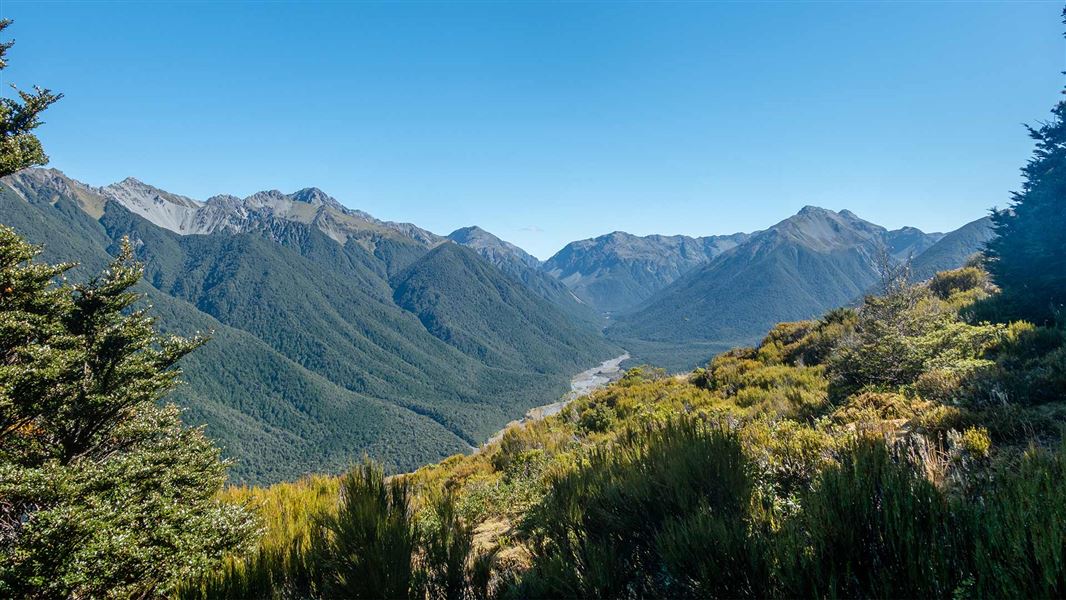
Advanced • 4.1 km • 6.07 km away
Casey Saddle - Binser Saddle Route
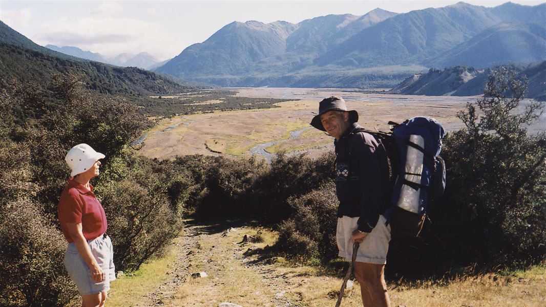
Advanced • 2 days • 9.61 km away
Hawdon Hut Track
Advanced • 6-8 hr • 18 km • 9.98 km away
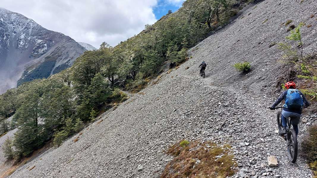
Craigieburn Edge Track
Intermediate • 1 hr 15 min • 4.5 km • 10.36 km away
Notes from people who have been
No notes yet. If you have been, say what you found.
Something missing or out of date?
Closed, moved, wrong facts, or something we have missed? Travellers keep the Road Guide up to date. Tell us what you found at contribute@parkup.nz and we will check it and add it.
Ask us to take this down
A person reads every request. We do not remove a place until we have checked it.
Sources
- OpenStreetMap Campsites · ODbL (Open Database License)Contains information from OpenStreetMap, made available under the ODbL.