Karangarua and Douglas valleys routes
WalkWest Coast
- Grade
- Expert
- Walking time
- 2 days
- Dogs
- No dogs
Getting there
We have not checked a road end or car park for this place yet, so we do not give driving directions to it. Check how to get there before you go. Some routes cross private land and need the landowner's permission.
How to get there, on doc.govt.nzAccess is off State Highway 6 approximately 26 km south of Fox Glacier Weheka township. There is a small parking area next to the Karangarua River bridge on the true left of the river, and the route begins directly across the road.
Source: DOC Te Papa Atawhai.
Map
Map data © OpenStreetMap contributors. Topo map: LINZ, CC BY 4.0. 43.66154° S, 169.86116° E
About this place
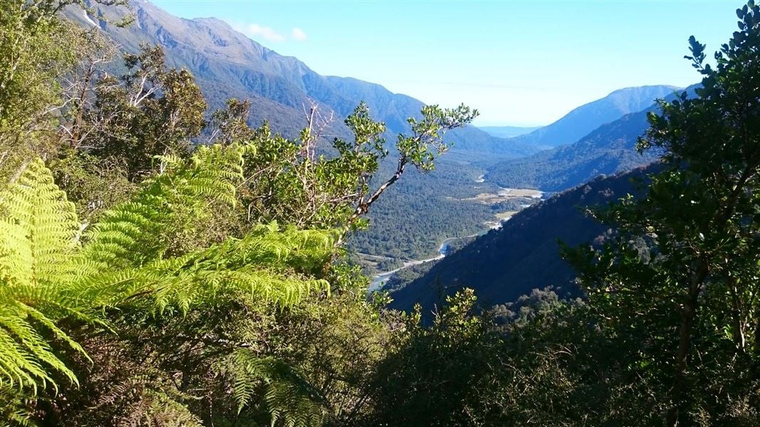
The Karangarua and Douglas valleys offer hunters, trampers and mountaineers many challenging opportunities and rewards within the rugged backcountry environment of Westland Tai Poutini National Park.
The route
The Karangarua River valley route to Christmas Flat is well marked with orange plastic markers and windfalls are cleared annually. The routes into the Douglas River valley are mostly unmarked. These routes are suitable for well-equipped and experienced backcountry trampers and hunters only. Windfalls are cleared less often. Best seasons to go are summer and autumn. These valleys are subject to flooding at any time of year. Do not attempt this trip in bad weather or when rain is forecast. If rivers and side streams are in flood, do not attempt to cross.
Cassel Flat Hut – Lame Duck Hut
Time: 7 hr From Cassel Flat to Lame Duck Flat follow along the river to the junction with Tui Creek where the marked route commences. Follow the river to the base of a scrubby face, before climbing steeply to the top of a prominent ridge. The route travels along this ridge above the bluffs and then sidles, gaining height through more bluffs at a higher level. The route is less defined here but is easily followed using the markers. Care should be taken on exposed, slippery stream crossings and especially when crossing a washout with 70 m exposure about two-thirds of the way along the sidle section.
After the gorge section the route traverses high above the river on poorly drained terraces before rejoining the river just below Lame Duck Flat. The four bunk Lame Duck Hut was replaced in 2008 by the New Zealand Deerstalkers Association (West Coast branch) and the Safari Club International.
Lame Duck Hut – Christmas Flat Hut
Time: 3 hr From Lame Duck Flat follow markers through a stand of beech next to the river for about 20 min. The route then climbs about 100 m and follows roughly at this level to an old open slip face before coming out onto the face beside a prominent rata tree 50 m above the river. Descend across the face to the river. Cross the Karangarua River to avoid the bluff, recross, and then cross the Troyte River. Christmas Flat is about 45 min away.
The route starts close to the river, 30 m above the Troyte, and travels along a terrace for 15 min before climbing steeply for about 50 m. It generally keeps at this level until a grassy slip. Cross the slip and travel down it, almost to the riverbed, where the route re-enters the bush and continues to the four bunk Christmas Flat Hut. Important note: The route described below is only suitable for parties who are highly skilled and experienced, and well-equipped. The majority of this route is unmarked and parties require a very high level of navigational skills. The route requires good weather and snow conditions to allow for safe travel – high avalanche danger is possible.
Time: 13 hr
From Cassel Flat Hut cross the flats and use the cableway to cross the Karangarua River to the true right. Ensure that you follow the operating instructions on the cableway as improper use could cause injury. See guidance on using the cableway under 'Know before you go'. After about 5 min the route goes out onto a slip then traverses up a steep bank into the bush. Follow the markers. The route is reasonably well defined but can be lost in fuchsia clearings and windfall areas. There is a campsite just across the three-wire bridge over Regina Creek. From Regina Creek follow the route markers across to the bottom of the climb to Conical Hill Saddle. From here to the scrubline the route is well defined and marked. There are two sections of exposed bedrock where the route regains the scrub after a few minutes. From the scrubline to the tussock line the route is well defined and it is marked across the saddle with metal poles. From Conical Hill Saddle, sections of the route are unmarked. Head north-east up the ridge. There is a section of tight bluffs just up from the saddle. If you stick to the true right of the ridge you should pick up a goat track and a narrow scrubby ledge that is passable. Once through these bluffs, change to the true left of the ridge and traverse up until about the 1400 m contour. Traverse up the valley, staying high to avoid the bluffs on this contour. When the Horace Walker moraine can be sighted straight down below, descend to reach a tussock terrace west of the moraine wall and then drop down to the terrace beside the Douglas River. Traverse east to the four bunk Horace Walker Hut. You will need to cross the Horace Walker River to reach the hut. For information on other routes in the area see guidebooks such as 'Moirs Guide North'. Such routes are not marked and not maintained by the Department.
Source: DOC Te Papa Atawhai.
Know before you go
Hazards
Hazards include flooded rivers, rock fall, steep and exposed terrain, and avalanche. These valleys are subject to flooding at any time of year. Do not attempt this trip in bad weather or when rain is forecast. If rivers and side streams are in flood, do not attempt to cross. If you are travelling beyond the snowline then make sure you check avalanche conditions, are sufficiently equipped and experienced to assess the conditions, and choose a safe path through avalanche terrain.
Weather
The climate in Westland mountain areas is extreme and variable. Rainfall is generally over 5000 mm per annum and can occur for days on end at any time of the year. Snow can occur during any season. Rivers can rise and fall rapidly during and following rain but can also remain high for days especially when fed by snow melt large snow fields or glaciers.
Safety is your responsibility
Check the latest conditions at the Westland Tai Poutini National Park Visitor Centre in Franz Josef or DOC office in Fox Glacier before heading into this area – conditions can change rapidly. Carry a personal locator beacon, and don’t forget to fill in the hut books.
Stay safe when crossing rivers and streams
If you plan to cross unbridged rivers or side streams, know how to cross safely and be prepared for if you cannot cross. Do not cross if the river or stream is flooded, you cannot find safe entry and exit points or are unsure it’s safe. Turn back or wait for the river to drop. If in doubt, stay out. How to cross rivers safely NIWA river flow forecasts: View a video of national followed by regional river flows
Using the cableway
A cableway is used to cross rivers on this trip. Take time to read the on-site instructions and familiarise yourself with the operation of the cableway before crossing Use of this cableway carries risks, so follow the operating instructions carefully. It is recommended that you do not use this cableway unless part of a larger party or carrying a personal locator beacon (PLB). Never place your hands on main cable, and keep hands, clothing and long hair clear of all wheels. In the event of an emergency where the carriage becomes stuck, remain where you are and activate your PLB or have your party seek help.
Source: DOC Te Papa Atawhai.
On this track
In walking order.

Nearby stops

Architect Creek Hut
Standard • 2 bunks • West Coast • 5.9 km
Architect Creek Hut is a standard two-bunk hut located in the Glaciers area of the West Coast.
Heating • Mattresses • Toilets - non-flush
Architect Creek campsite
West Coast • 6 km
Architect Creek campsite is a camping area located on the West Coast of New Zealand. The provided data does not include details on specific facilities or…
Welcome Flat Campsite
Backcountry • West Coast • 7.7 km
Welcome Flat Campsite is located outside the Welcome Flat Hut in the Glaciers area of the West Coast.
Water from tap - not treated, boil before use • Toilets - non-flush • Toilets
Welcome Flat Hut
Serviced • 31 bunks • West Coast • 7.7 km
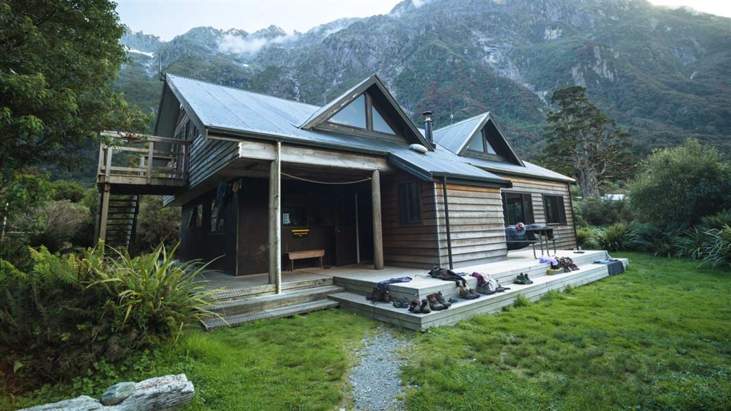
Welcome Flat Hut is a serviced 31-bunk hut located in the Glaciers area of the West Coast.
Heating • Mattresses • Toilets - non-flush
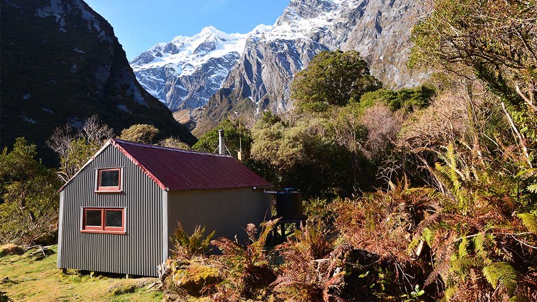
Douglas Rock Hut
Standard • 8 bunks • West Coast • 12.7 km
Douglas Rock Hut is a standard eight-bunk hut located in the Glacier area of the West Coast.
Heating • Mattresses • Toilets - non-flush
Walks nearby
Notes from people who have been
No notes yet. If you have been, say what you found.
Something missing or out of date?
Closed, moved, wrong facts, or something we have missed? Travellers keep the Road Guide up to date. Tell us what you found at contribute@parkup.nz and we will check it and add it.
Ask us to take this down
A person reads every request. We do not remove a place until we have checked it.
Sources
- DOC Tracks (API) · CC BY 4.0Crown Copyright: Department of Conservation Te Papa Atawhai. Data sourced from the DOC Developer Portal (api.doc.govt.nz).