Christmas Flat Hut
Standard hutWestland Tai Poutini National Park, West CoastOpen
- Sleeps
- 4 bunks
- Booking
- Not bookable
- Cost
- from $15
- Heating
- Yes
- Water
- Yes
- Toilet
- Non-flush
Getting there
We have not checked a road end or car park for this place yet, so we do not give driving directions to it. Check how to get there before you go. Some routes cross private land and need the landowner's permission.
How to get there, on doc.govt.nz- Topo map
- Topo50 sheet BX15
Source: DOC Te Papa Atawhai.
Map and tracks
Track lines: DOC Te Papa Atawhai. Map data © OpenStreetMap contributors. Topo map: LINZ, CC BY 4.0. 43.71889° S, 169.90764° E
About this place
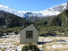
This is a standard four-bunk hut in the Glacier area.
On the way here
Karangarua and Douglas valleys routes · 2 days +
Lame Duck Hut – Christmas Flat Hut
Time: 3 hr From Lame Duck Flat follow markers through a stand of beech next to the river for about 20 min. The route then climbs about 100 m and follows roughly at this level to an old open slip face before coming out onto the face beside a prominent rata tree 50 m above the river. Descend across the face to the river. Cross the Karangarua River to avoid the bluff, recross, and then cross the Troyte River. Christmas Flat is about 45 min away.
The route starts close to the river, 30 m above the Troyte, and travels along a terrace for 15 min before climbing steeply for about 50 m. It generally keeps at this level until a grassy slip. Cross the slip and travel down it, almost to the riverbed, where the route re-enters the bush and continues to the four bunk Christmas Flat Hut. Important note: The route described below is only suitable for parties who are highly skilled and experienced, and well-equipped. The majority of this route is unmarked and parties require a very high level of navigational skills. The route requires good weather and snow conditions to allow for safe travel – high avalanche danger is possible.
Source: DOC Te Papa Atawhai.
Trip options
Walking times come from DOC track descriptions, added up leg by leg from car-accessible trailheads. Nights and return times are ParkUp estimates, allowing about 8 hours of walking a day.
2 options · 2 to 3 nights
Karangarua River bridge
Walking in
16 hr (via Cassel Flat Hut, Lame Duck Hut)
Walking out
13 hr to Horace Walker via Regina Creek
Walking in
16 hr (via Cassel Flat Hut, Lame Duck Hut)
Walking out
16 hr to Karangarua River bridge (via Cassel Flat Hut, Lame Duck Hut)
Source: DOC Te Papa Atawhai track descriptions.
Fees and bookings
Before you go, buy Hut Tickets for each night's stay. Put these in the honesty box at the hut. Or buy a Backcountry Hut Pass that gives unlimited use at most Standard and Serviced huts for a 12 month period. Retailers that sell hut tickets and passes
Source: DOC Te Papa Atawhai.
Nearby stops
Horace Walker Hut
Standard • 4 bunks • West Coast • 3.5 km
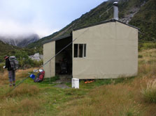
Horace Walker Hut is a standard four-bunk hut located in the Glacier area of the West Coast.
Heating • Mattresses • Toilets - non-flush
Lame Duck Hut
4 bunks • West Coast • 3.5 km
Lame Duck Hut is a Department of Conservation hut located on the West Coast of New Zealand. It provides basic accommodation for hikers and is managed by DOC.
Heating • Mattresses • Toilets - non-flush

Cassel Flat Hut
Standard • 6 bunks • West Coast • 9.3 km
Cassel Flat Hut is a standard six-bunk hut located in the Glaciers area of the West Coast.
Heating • Mattresses • Toilets - non-flush
Cass
Canterbury • 167.5 km
Cass is a campsite located in the Canterbury region of New Zealand. The available records provide no further details regarding specific facilities or amenities…
Walks nearby
Upper Copland Valley Track
Advanced • 3 days + • 11.23 km away
Copland Track to Welcome Flat Hut
Intermediate • 7 hr one way • 18 km • 11.29 km away
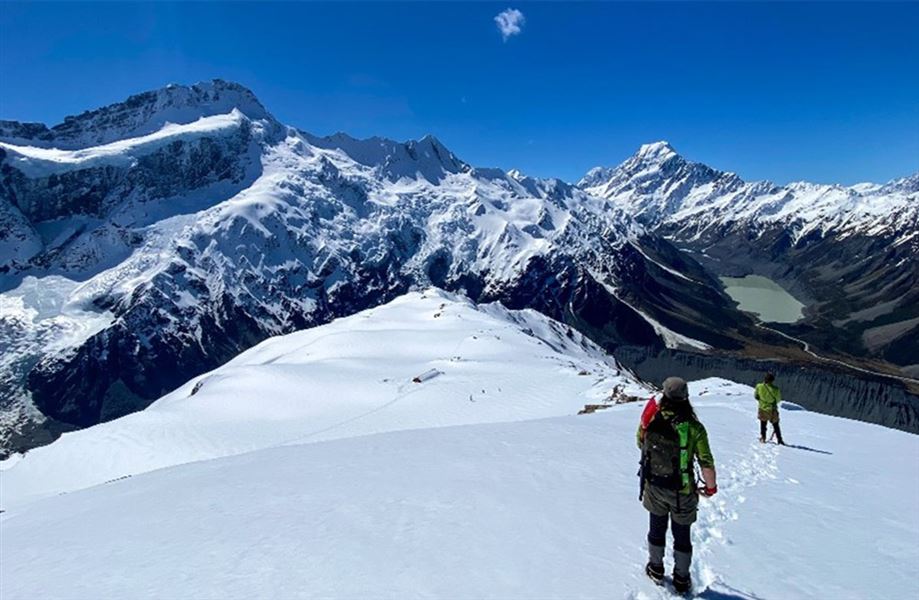
Mueller Hut Route
Advanced • 4 hr one way • 5.2 km • 13.74 km away
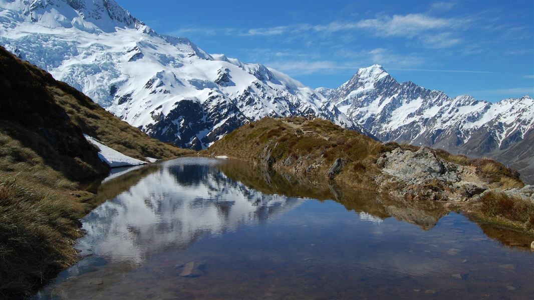
Sealy Tarns Track
Easy • 3 - 4 hr return • 13.8 km away
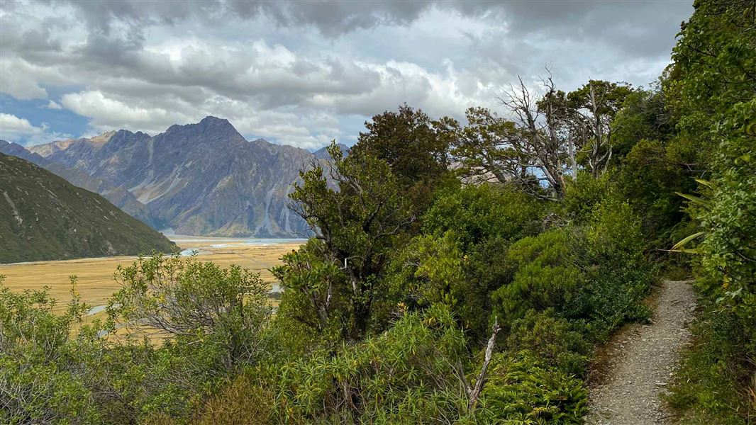
Glencoe Walk
Easiest • 30 min return • 600 m • 14.93 km away
Contact
Westland Tai Poutini National Park Visitor Centre
69 Cron Street, Franz Josef Glacier 7856
Regional DOC service centre.
Notes from people who have been
No notes yet. If you have been, say what you found.
Something missing or out of date?
Closed, moved, wrong facts, or something we have missed? Travellers keep the Road Guide up to date. Tell us what you found at contribute@parkup.nz and we will check it and add it.
Ask us to take this down
A person reads every request. We do not remove a place until we have checked it.
Sources
- DOC Huts · CC BY 4.0Data sourced from the Department of Conservation (DOC), New Zealand.
- OpenStreetMap Huts · ODbL (Open Database License)Contains information from OpenStreetMap, made available under the ODbL.
- DOC Huts (API) · CC BY 4.0Crown Copyright: Department of Conservation Te Papa Atawhai. Data sourced from the DOC Developer Portal (api.doc.govt.nz).