Douglas Rock Hut
Standard hutWestland Tai Poutini National Park, West CoastOpen
Current advisories
Copland Shelter closed
13 September 2026
Copland Shelter is closed until further notice. It is unsafe due to unstable foundations and damage to the structure. First published on 10 June 2026. Last reviewed on 14 September 2026.
Source: DOC Te Papa Atawhai alerts.
- Sleeps
- 8 bunks
- Booking
- Not bookable
- Cost
- from $15
- Heating
- Yes
- Drinking water
- Boil first
- Toilet
- Non-flush
Getting there
We have not checked a road end or car park for this place yet, so we do not give driving directions to it. Check how to get there before you go. Some routes cross private land and need the landowner's permission.
How to get there, on doc.govt.nz- Topo map
- Topo50 sheet BX15
- Grid reference
- E1359620, N5162374
Source: DOC Te Papa Atawhai.
Map and tracks
Track lines: DOC Te Papa Atawhai. Map data © OpenStreetMap contributors. Topo map: LINZ, CC BY 4.0. 43.65266° S, 170.01894° E
About this place
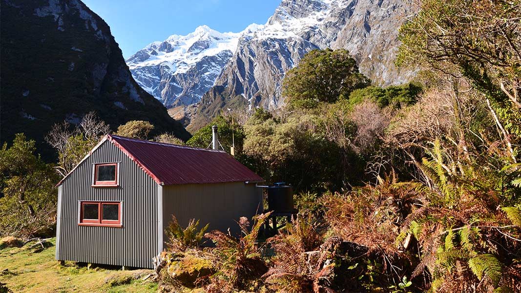
This is a standard eight-bunk hut in the Glacier area.
On the way here
Upper Copland Valley Track · 3 days +
Welcome Flat Hut to Douglas Rock Hut
Time: 3 hr
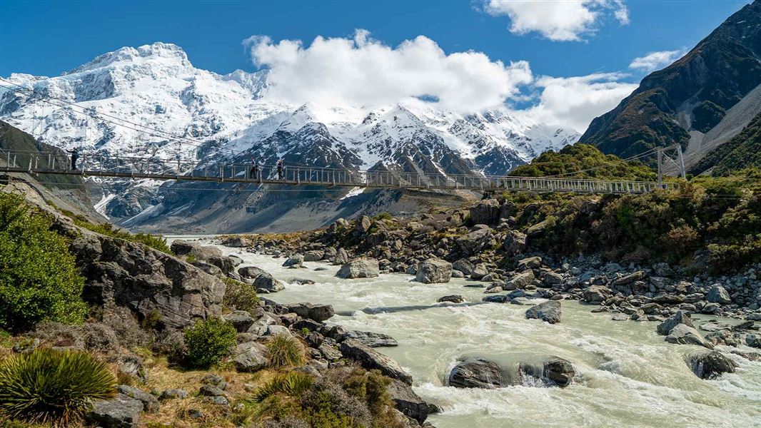
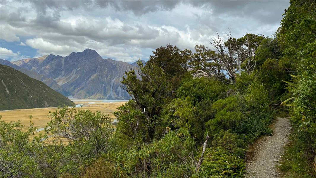
km The suspension bridge near Welcome Flat Hut leads across to the true left of the Copland River and onto a series of extensive grassy river flats. Along the flats there are fine views into the Ruera Valley and the Navigator Range beyond, while Mount Sefton and the Footstool rear up behind The Sierra Range, reaching heights over 2000 m above the valley floor. Occasionally the track wanders into low forest but returns to the grassy flats before crossing the multiple channels of Scott Creek. This creek can be extremely hazardous in wet weather. Beyond Scott Creek the track enters the forest again and begins to climb gradually above the upper gorge. There are a number of open slips to cross with views up and down the river. Eventually you will reach the swing-bridge across Tekano Creek and the views to the upper valley will open out in front of you. Douglas Rock Hut (eight bunks) is nestled in a forest glade just across the bridge. On a clear day the views from the hut are expansive.
Above Douglas Rock Hut
Past Douglas Rock Hut, a marked route continues up the Copland Valley. Avalanche and flood risk is high on this route. This route should only be attempted by those with alpine experience, mountaineering skills and equipment. From Douglas Rock Hut, the route ascends through subalpine vegetation with improving views of the high mountain peaks surrounding the upper Copland River. Marked by cairns and poles, the route sidles above the river, with Aoraki/Mount Cook coming into view near Fiddian Creek. The route continues to sidle until directly below Copland Pass, at which point it zigzags its way up the steep slopes into an alpine basin.
Source: DOC Te Papa Atawhai.
Fees and bookings
Before you go, buy Hut Tickets for each night's stay. Put these in the honesty box at the hut. Or buy a Backcountry Hut Pass that gives unlimited use at most Standard and Serviced huts for a 12 month period. Retailers that sell hut tickets and passes
Source: DOC Te Papa Atawhai.
On these tracks
Source: DOC Te Papa Atawhai.
Nearby stops
Welcome Flat Campsite
Backcountry • West Coast • 6.3 km
Welcome Flat Campsite is located outside the Welcome Flat Hut in the Glaciers area of the West Coast.
Water from tap - not treated, boil before use • Toilets - non-flush • Toilets
Welcome Flat Hut
Serviced • 31 bunks • West Coast • 6.3 km
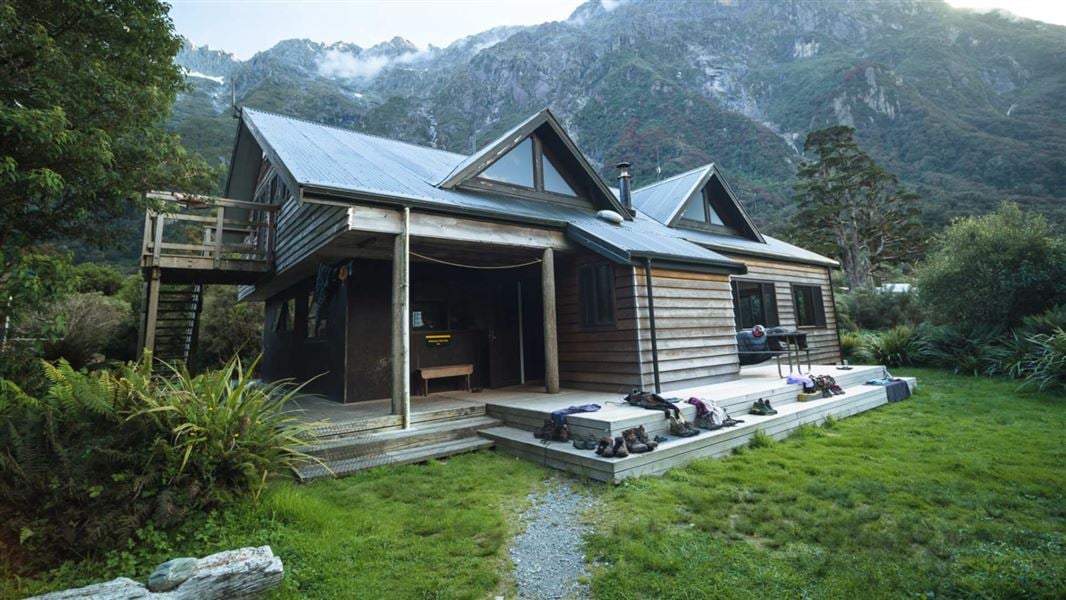
Welcome Flat Hut is a serviced 31-bunk hut located in the Glaciers area of the West Coast.
Heating • Mattresses • Toilets - non-flush

Architect Creek Hut
Standard • 2 bunks • West Coast • 11.7 km
Architect Creek Hut is a standard two-bunk hut located in the Glaciers area of the West Coast.
Heating • Mattresses • Toilets - non-flush
Walks nearby
Contact
Westland Tai Poutini National Park Visitor Centre
69 Cron Street, Franz Josef Glacier 7856
Regional DOC service centre.
Notes from people who have been
No notes yet. If you have been, say what you found.
Something missing or out of date?
Closed, moved, wrong facts, or something we have missed? Travellers keep the Road Guide up to date. Tell us what you found at contribute@parkup.nz and we will check it and add it.
Ask us to take this down
A person reads every request. We do not remove a place until we have checked it.
Sources
- DOC Huts · CC BY 4.0Data sourced from the Department of Conservation (DOC), New Zealand.
- DOC Huts (API) · CC BY 4.0Crown Copyright: Department of Conservation Te Papa Atawhai. Data sourced from the DOC Developer Portal (api.doc.govt.nz).
- OpenStreetMap Huts · ODbL (Open Database License)Contains information from OpenStreetMap, made available under the ODbL.