Cass-Lagoon Saddle Track
WalkCanterbury
- Grade
- Expert
- Walking time
- 3 days
- Distance
- 32 km
- Dogs
- No dogs
Getting there
We have not checked a road end or car park for this place yet, so we do not give driving directions to it. Check how to get there before you go. Some routes cross private land and need the landowner's permission.
How to get there, on doc.govt.nzBoth track entrances are alongside State Highway 73 (SH73) between Christchurch and Arthur’s Pass. Some bus services from Christchurch to the West Coast will drop you off by arrangement.
The Cass River end of the track starts from the signposted car park at the east end of the Cass road bridge, opposite Cass settlement. This car park is frequently targeted by vandals and thieves. Alternatively, you can park at the marked car park at Cass settlement and walk 1 km along the gravel road to the start of the track on SH73.
To reach the western end of the track, turn off SH73 about 14 km east of Arthur’s Pass village, onto Cora Lynn Road. This road also leads to the Arthur’s Pass Wilderness Lodge and Cora Lynn Station. There is a car park here for trampers through the gate signposted ‘Cass – Lagoon Track’.
Source: DOC Te Papa Atawhai.
Map
Map data © OpenStreetMap contributors. Topo map: LINZ, CC BY 4.0. 43.10968° S, 171.66338° E
About this place
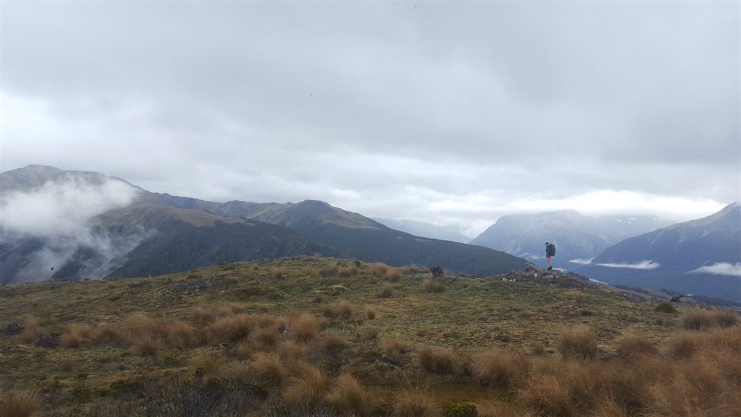
Cass - Lagoon Saddle in Craigieburn Forest Park is a two-day round trip suitable for fit, moderately experienced and equipped parties. This track is part of Te Araroa Trail.
The route
This track is part of Te Araroa Trail .
A comfortably challenging weekend tramp
This trip is in the dry mountains east of the Main Divide. It crosses riverbeds and rivers, follows forest tracks and crosses two saddles. For a challenging weekend tramp, there is a comfortable 20 bunk hut midway, or take 3–4 days by staying in some of the other basic huts on the route. The track is not marked all the way, so ensure you take a topo map with you. Most trampers prefer to begin the track from the Cass end, as this avoids the steepest ascents. Not all rivers and streams are bridged, so they may be impassable after heavy rainfall.
Summer is the best season for this track
Because of the high avalanche danger and the frequency of winter snowfalls, this route is best attempted from late spring to early autumn. There is simple avalanche terrain on the Cass-Lagoon Saddle Track from Bealey Hut to Hamilton Hut, and complex avalanche terrain from the Cass River SH73 road end to Hamilton Hut. All times are one way unless otherwise stated.
Cass car park to Cass Saddle Hut
Time: 4 hours one way
From the signposted car park at the east end of the Cass River road bridge, follow the vehicle track next to the row of pine trees until it meets Cass River. Follow the riverbed upstream, keeping to the true right bank as much as possible. You will need to cross the river several times. The track climbs into the forest at a marked point just below the junction with Long Valley Stream; it is easy to miss if you are on the wrong side of Cass River so stay on the true right. The river is crossed again via a bridge, then the track climbs for another 20–30 minutes before crossing the river again. Cass Saddle Hut is reached soon after you have crossed to the true right bank. It has three bunks and a wood burning stove. Water can be obtained from a small stream just to the south-east of the hut.
Cass Saddle Hut to Hamilton Hut
Time: 2 hours 30 minutes one way
The tussock basin above Cass Saddle Hut is reached shortly after leaving the hut, and the poled route climbs gradually to the saddle. Hamilton Hut can be seen in the distance down the valley. Traverse left for 200 metres to the start of the cut track. This is an area of high avalanche risk. Avalanches frequently cross the entire Cass Saddle area in winter. During heavy snow conditions, we advise visitors not to travel this route. The track drops steeply from the saddle, and then more gently through the bush terraces, joining Hamilton Creek 15 minutes from Hamilton Hut. The 20 bunk hut has a wood burning stove and a radio linked to Arthur's Pass Visitor Centre. Calls can be made during office hours to obtain weather forecasts.
Side trip: The Pinnacles
Time: 4–6 hours return
In the lower Harper valley, erosion has formed an interesting geological feature that makes a worthwhile side trip from Hamilton Hut. The Pinnacles were made from geologically young rock, about 3–7 million years ago, consisting of alluvial sands and gravels. Erosion, caused by rain water washing away the exposed soil, has formed the pinnacle shapes. Pebbles or small stones may be seen on the tops of the pinnacles, temporarily protecting them from erosion. Nearby, the Harper River has exposed older rocks containing marine fossils. The route to The Pinnacles is down the Harper River from Hamilton Creek, following the Te Araroa Trail, initially on a walking track, then a 4WD track. The Harper River needs to be crossed several times – crossings should not be attempted if the river is high. The 4WD track crosses private farmland; please do not disturb any stock. The Pinnacles are set back a short way on the true right bank.
Hamilton Hut to West Harper Hut
Time: 2 hours 30 minutes one way
From Hamilton Hut to Bealey Hut, you are in simple avalanche terrain. Even though the track is in the forest, avalanches can reach the track from the mountains above. The greatest risk in this section is from Harper River to Lagoon Saddle Hut, as avalanches can travel from the Mt Bruce ridges to the track. Read more about avalanche risk in the Know Before You Go section or on this webpage . The route crosses Hamilton Creek at the footbridge 10 minutes downstream from Hamilton Hut and leads to a swing bridge across Harper River, a short distance above its confluence with Hamilton Creek. After crossing the swing bridge, the route continues upstream on the true right of the river to West Harper Hut. In fine weather and suitable conditions, the riverbed offers an easy alternative with several fine swimming holes along the way. West Harper Hut (a hut built in the 1950s) has five canvas bunks, a fireplace and a dirt floor.
Side trip: Mirror Tarn
Time: 20 minutes return
A side trip can be made to Mirror Tarn while en route to West Harper Hut. About 20 m beyond the Hamilton Creek bridge is the sign to Mirror Tarn. Follow the marked track steeply uphill for about 10 minutes to reach the tarn.
West Harper Hut to Lagoon Saddle Hut
Time: 2–3 hours one way
From West Harper Hut the track bypasses a small gorge to reach river flats which are then followed to the confluence of Long Creek and Harper River. Follow the markers up the Harper riverbed for approximately 500 metres and then a formed track on the true left climbs steadily to Lagoon Saddle Shelter. Lagoon Saddle Hut is located just across the river and has two bunks and mattresses.
Lagoon Saddle Hut to Bealey Hut and SH73
Time: 2–3 hours one way
From Lagoon Saddle Hut the track gradually climbs through patches of beech forest above the tarns on Lagoon Saddle. It is marked by poles and markers. Once on the northern face of Mount Bruce, the track descends through tussock and gives views of the snow-capped peaks of Arthur’s Pass National Park and the braided Waimakariri River. The track descends through beech and exotic forest to Bealey Hut (six bunks). A further 5 minute walk from the hut takes you to the car park by Cora Lynn Station, and another 2 minutes to SH73. If you are walking this route in reverse, take the Cora Lynn Road to the Arthur's Pass Wilderness Lodge and Cora Lynn Station and enter through the gate signposted ‘Cass – Lagoon Track’. Note that times may be longer on the uphill sections of the track when walking in this direction.
Source: DOC Te Papa Atawhai.
Know before you go
There may be avalanche danger
Check the avalanche terrain in this area. Avalanches are most common from May to November in the Craigieburn Range. There can also be avalanches outside this period, if there is still snow coverage. Check the avalanche danger before you go on the New Zealand Avalanche Advisory . If you are going into avalanche terrain, always: Have the relevant avalanche skills and training. Check the ATES rating and the New Zealand Avalanche Advisory . Go with a buddy. Both of you should carry and know how to use an avalanche transceiver, a snow shovel and a probe.
Stay safe when crossing rivers and streams
If you plan to cross unbridged rivers or side streams, know how to cross safely and be prepared for if you cannot cross. Do not cross if the river or stream is flooded, you cannot find safe entry and exit points or are unsure it’s safe. Turn back or wait for the river to drop. If in doubt, stay out. How to cross rivers safely NIWA river flow forecasts: View a video of national followed by regional river flows
Thieves targeting cars at Arthur's Pass
There have been reports of cars being broken into and disabled at track ends. Don't leave valuables in your vehicle. Consider using more public parking sites – ask at the Arthur's Pass Visitor Centre for alternative options. Report any suspicious activity to police on +64 3 363 7400 .
Source: DOC Te Papa Atawhai.
On this track
In walking order.

Cass Saddle Hut
Basic/bivvies • 3 bunks • Canterbury
- Toilet
- Heating
- Water

Hamilton Hut
Serviced • 20 bunks • Canterbury
- Toilet
- Heating
- Water

West Harper Hut
Basic/bivvies • 5 bunks • Canterbury
- Toilet
- Heating
- Water
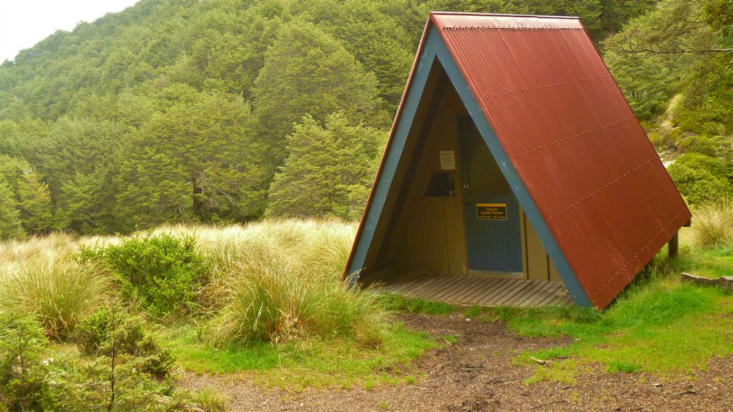
Lagoon Saddle A Frame
Basic/bivvies • 2 bunks • Canterbury
- Toilet
- Water
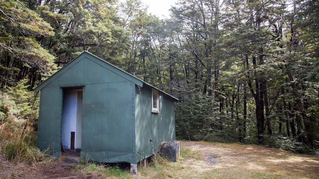
Bealey Hut
Basic/bivvies • 6 bunks • Canterbury
- Toilet
- Water
Cass
Canterbury
Hamilton Hut
Basic/bivvies • 4 bunks • Canterbury
Saddle Hut
Otago
Nearby stops
Palmer Lodge
Canterbury • 2.4 km
Custodian House
Canterbury • 2.9 km
Broken River Lodge
Canterbury • 3 km
Lyndon Lodge
Canterbury • 3 km
Holloway Lodge
Canterbury • 6.1 km
Holloway Lodge is a hut located in the Canterbury region. The provided records do not include further details about its facilities or location.
Walks nearby
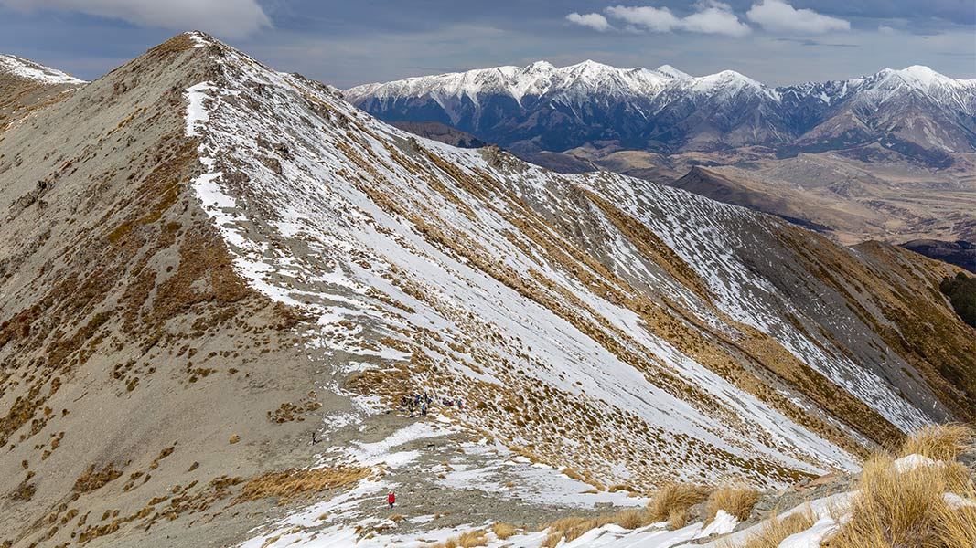
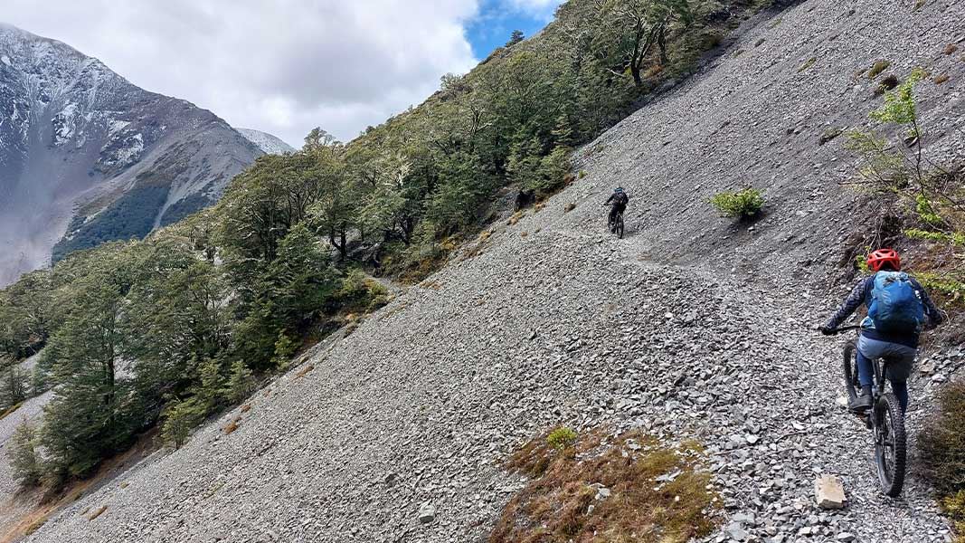
Camp Saddle Track
Advanced • 1 - 2 hr • 3.93 km away
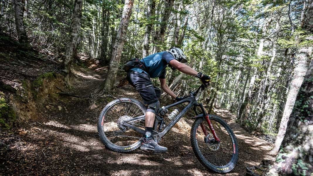
Craigieburn Edge Track
Intermediate • 1 hr 15 min • 4.5 km • 4.73 km away
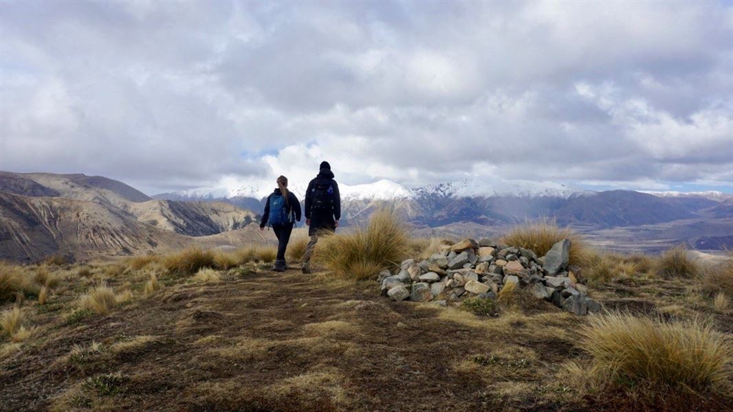
The Luge Track
Intermediate • 1 hr 45 min • 3.3 km • 5.64 km away
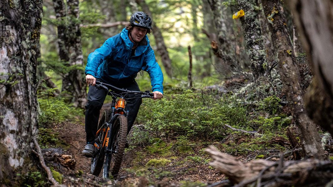
Helicopter Hill Track
Intermediate • 15 - 30 min one way • 500 m • 6.16 km away
Cuckoo Creek Track
Intermediate • 1 hr • 2 km • 6.31 km away
Notes from people who have been
No notes yet. If you have been, say what you found.
Something missing or out of date?
Closed, moved, wrong facts, or something we have missed? Travellers keep the Road Guide up to date. Tell us what you found at contribute@parkup.nz and we will check it and add it.
Ask us to take this down
A person reads every request. We do not remove a place until we have checked it.
Sources
- DOC Tracks (API) · CC BY 4.0Crown Copyright: Department of Conservation Te Papa Atawhai. Data sourced from the DOC Developer Portal (api.doc.govt.nz).