Bealey Hut
Basic/bivvies hutCraigieburn Forest Park, CanterburyOpen
- Sleeps
- 6 bunks
- Booking
- Not bookable
- Cost
- Free
- Heating
- None
- Drinking water
- Boil first
- Toilet
- Non-flush
Getting there
We have not checked a road end or car park for this place yet, so we do not give driving directions to it. Check how to get there before you go. Some routes cross private land and need the landowner's permission.
How to get there, on doc.govt.nz- Topo map
- Topo50 sheet BV20
Source: DOC Te Papa Atawhai.
Map and tracks
Track lines: DOC Te Papa Atawhai. Map data © OpenStreetMap contributors. Topo map: LINZ, CC BY 4.0. 43.03775° S, 171.64171° E
About this place
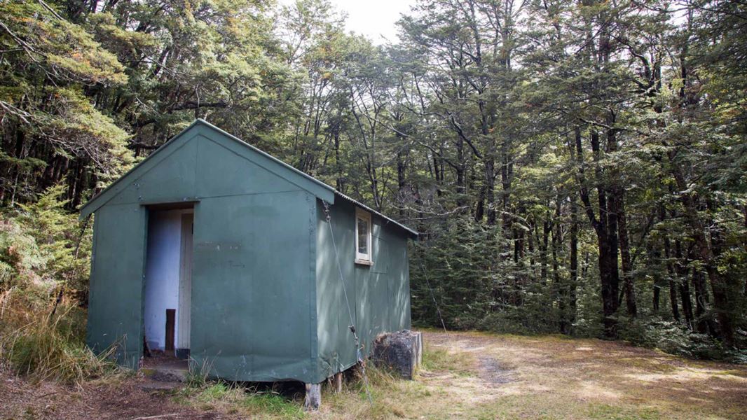
This is a basic six-bunk hut in the North Canterbury and Arthur's Pass area
On the way here
Cass-Lagoon Saddle Track · 2 - 3 days
Summer is the best season for this track
Because of the high avalanche danger and the frequency of winter snowfalls, this route is best attempted from late spring to early autumn. There is simple avalanche terrain on the Cass-Lagoon Saddle Track from Bealey Hut to Hamilton Hut, and complex avalanche terrain from the Cass River SH73 road end to Hamilton Hut. All times are one way unless otherwise stated.
Hamilton Hut to West Harper Hut
Time: 2 hours 30 minutes one way
From Hamilton Hut to Bealey Hut, you are in simple avalanche terrain. Even though the track is in the forest, avalanches can reach the track from the mountains above. The greatest risk in this section is from Harper River to Lagoon Saddle Hut, as avalanches can travel from the Mt Bruce ridges to the track. Read more about avalanche risk in the Know Before You Go section or on this webpage . The route crosses Hamilton Creek at the footbridge 10 minutes downstream from Hamilton Hut and leads to a swing bridge across Harper River, a short distance above its confluence with Hamilton Creek. After crossing the swing bridge, the route continues upstream on the true right of the river to West Harper Hut. In fine weather and suitable conditions, the riverbed offers an easy alternative with several fine swimming holes along the way. West Harper Hut (a hut built in the 1950s) has five canvas bunks, a fireplace and a dirt floor.
Lagoon Saddle Hut to Bealey Hut and SH73
Time: 2–3 hours one way
From Lagoon Saddle Hut the track gradually climbs through patches of beech forest above the tarns on Lagoon Saddle. It is marked by poles and markers. Once on the northern face of Mount Bruce, the track descends through tussock and gives views of the snow-capped peaks of Arthur’s Pass National Park and the braided Waimakariri River. The track descends through beech and exotic forest to Bealey Hut (six bunks). A further 5 minute walk from the hut takes you to the car park by Cora Lynn Station, and another 2 minutes to SH73. If you are walking this route in reverse, take the Cora Lynn Road to the Arthur's Pass Wilderness Lodge and Cora Lynn Station and enter through the gate signposted ‘Cass – Lagoon Track’. Note that times may be longer on the uphill sections of the track when walking in this direction.
Source: DOC Te Papa Atawhai.
Trip options
Walking times come from DOC track descriptions, added up leg by leg from car-accessible trailheads. Nights and return times are ParkUp estimates, allowing about 8 hours of walking a day.
1 option · 2 nights
Cass car park
Walking in
15 hr (via Cass Saddle Hut, Hamilton Hut, West Harper Hut, Lagoon Saddle Hut)
Walking out
15 hr to Cass car park (via Cass Saddle Hut, Hamilton Hut, West Harper Hut, Lagoon Saddle Hut)
Source: DOC Te Papa Atawhai track descriptions.
Nearby stops
Lagoon Saddle A Frame
Basic/bivvies • 2 bunks • Canterbury • 3.8 km
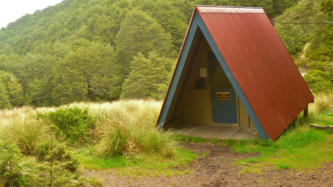
Lagoon Saddle A Frame is a basic bivvy shelter in Canterbury that has no mattresses.
Mattresses • Toilets - non-flush • Water from stream

West Harper Hut
Basic/bivvies • 5 bunks • Canterbury • 7.4 km
West Harper Hut is a basic five-bunk hut located in the North Canterbury and Arthur's Pass area.
Heating • Toilets - non-flush • Water from stream

Cass Saddle Hut
Basic/bivvies • 3 bunks • Canterbury • 7.7 km
Cass Saddle Hut is a basic three-bunk hut located in the North Canterbury and Arthur's Pass area.
Heating • Mattresses • Toilets - non-flush
Cass
Canterbury • 9.2 km
Cass is a campsite located in the Canterbury region of New Zealand. The available records provide no further details regarding specific facilities or amenities…

Hamilton Hut
Serviced • 20 bunks • Canterbury • 10.2 km
Hamilton Hut is a serviced 20-bunk hut located in the North Canterbury and Arthur's Pass area of Canterbury.
Heating • Mattresses • Toilets - non-flush
Walks nearby
Bealey Spur Track
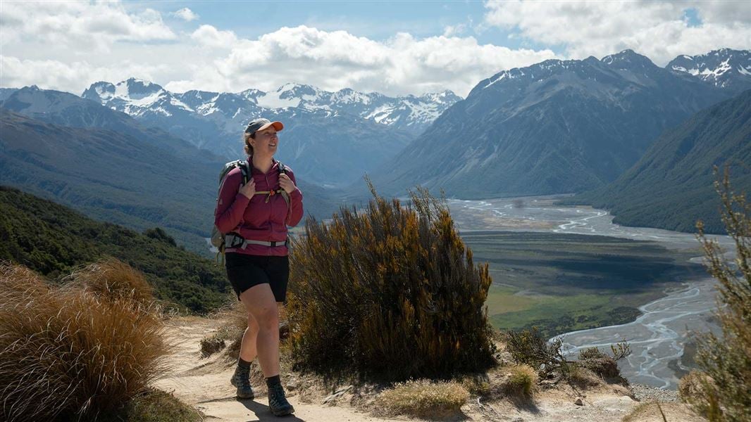
Easy • 2 hr 30 min one way • 6 km • 3.51 km away
Old Coach Road
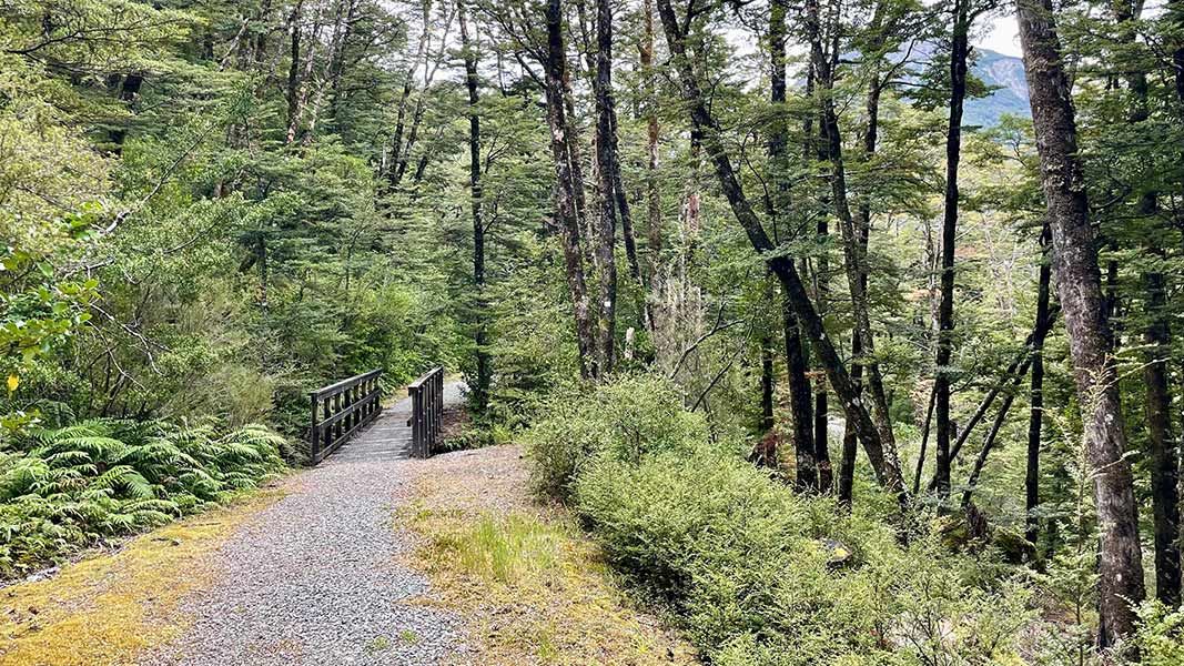
Easiest • 30 min return • 1.1 km • 7.44 km away
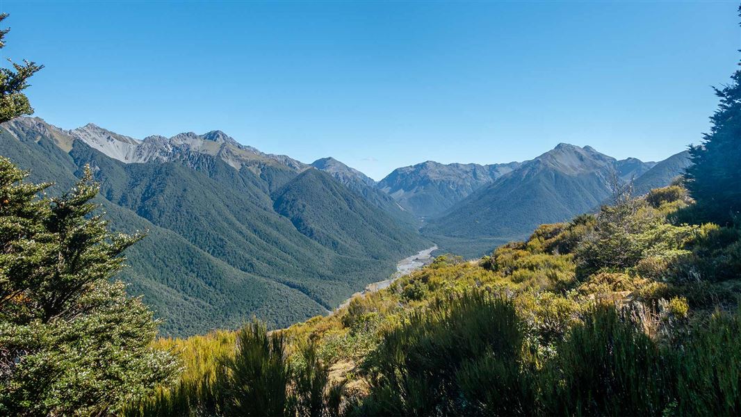
Woolshed Hill Track
Advanced • 4.1 km • 11.42 km away
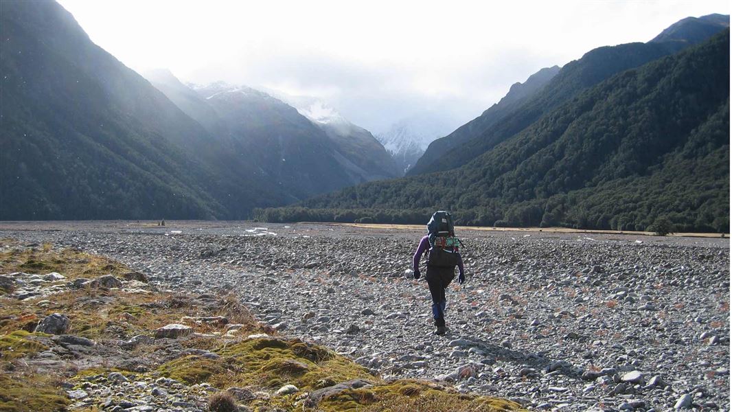
Carrington Hut Route
Expert • 4-6 hr to Carrington Hut one way • 12.3 km to Carrington Hut • 11.44 km away
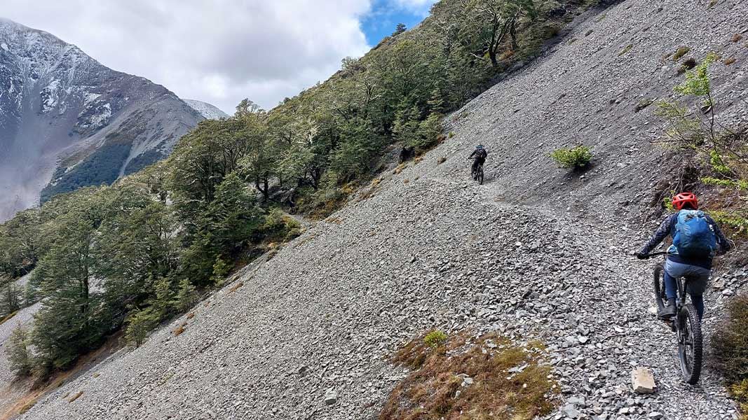
Craigieburn Edge Track
Intermediate • 1 hr 15 min • 4.5 km • 11.49 km away
Contact
Arthur's Pass National Park Visitor Centre
104 West Coast Road, Arthur's Pass 7654
Regional DOC service centre.
Notes from people who have been
No notes yet. If you have been, say what you found.
Something missing or out of date?
Closed, moved, wrong facts, or something we have missed? Travellers keep the Road Guide up to date. Tell us what you found at contribute@parkup.nz and we will check it and add it.
Ask us to take this down
A person reads every request. We do not remove a place until we have checked it.
Sources
- DOC Huts (API) · CC BY 4.0Crown Copyright: Department of Conservation Te Papa Atawhai. Data sourced from the DOC Developer Portal (api.doc.govt.nz).
- OpenStreetMap Huts · ODbL (Open Database License)Contains information from OpenStreetMap, made available under the ODbL.
- DOC Huts · CC BY 4.0Data sourced from the Department of Conservation (DOC), New Zealand.