The Luge Track
WalkCanterbury
- Grade
- Intermediate
- Walking time
- 1 hr 45 min
- Distance
- 3.3 km
- Dogs
- Under control
Getting there
We have not checked a road end or car park for this place yet, so we do not give driving directions to it. Check how to get there before you go. Some routes cross private land and need the landowner's permission.
How to get there, on doc.govt.nzTurns off State Highway 73 into the Broken River Skifield Road, around 108 km from Christchurch.
Broken River Ski-field Road is extremely narrow and winding, we recommend travelling slowly (20 km per hour) to avoid collisions and to look for areas where two vehicles can get past each other.
In winter, this road may require tyre chains to access. We also recommend not travelling inwards on this road in the afternoons as there can be many vehicles exiting the ski-field.
The track entrance is shortly after the road bridge over Cave Stream.
You can also start this track from Craigieburn Edge Track and Mistletoe Track.
Source: DOC Te Papa Atawhai.
Map and tracks
Track lines: DOC Te Papa Atawhai. Map data © OpenStreetMap contributors. Topo map: LINZ, CC BY 4.0. 43.14042° S, 171.71869° E
About this place
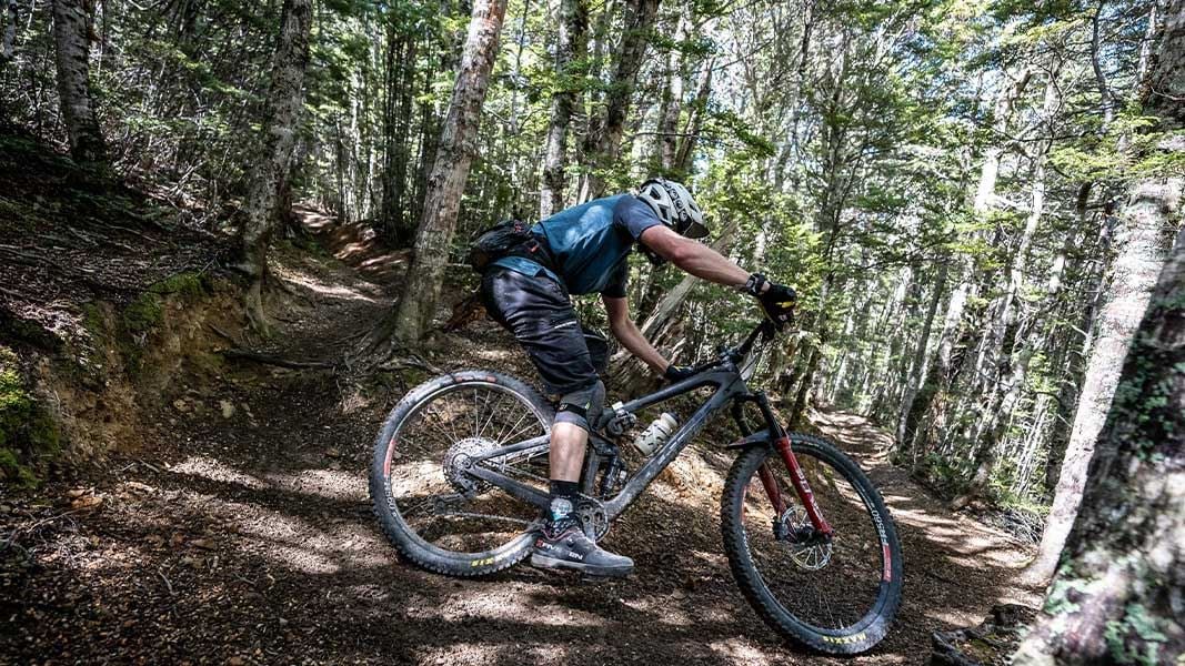
This track links the Broken River and Craigieburn valleys, via Lyndon Saddle.
The route
Broken Hill Road to Lyndon Saddle
Time: 45 min (downhill)
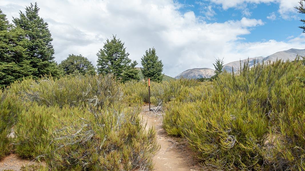
2.1 km The Luge Track begins on Broken River Road, shortly after the bridge over Cave Stream. Follow the track through low glacial terraces with some tall attractive beech forest. It climbs steadily to Lyndon Saddle. Here you have the option of:
Lyndon Saddle to Craigieburn Edge Track
Time: 15 min one way
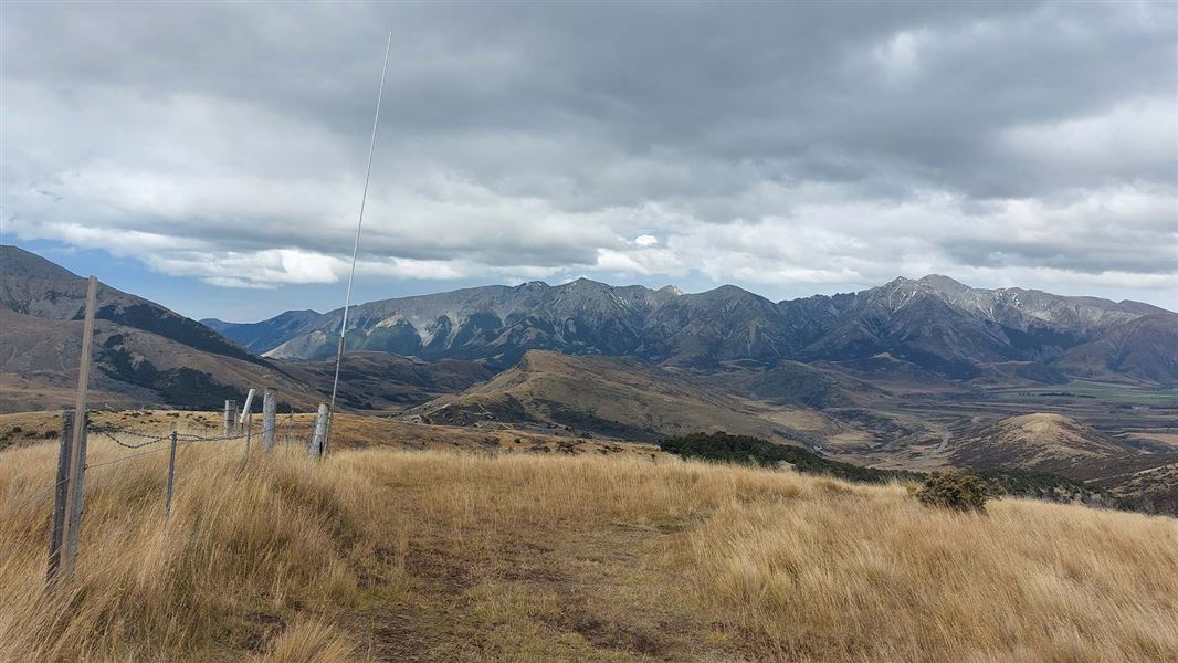
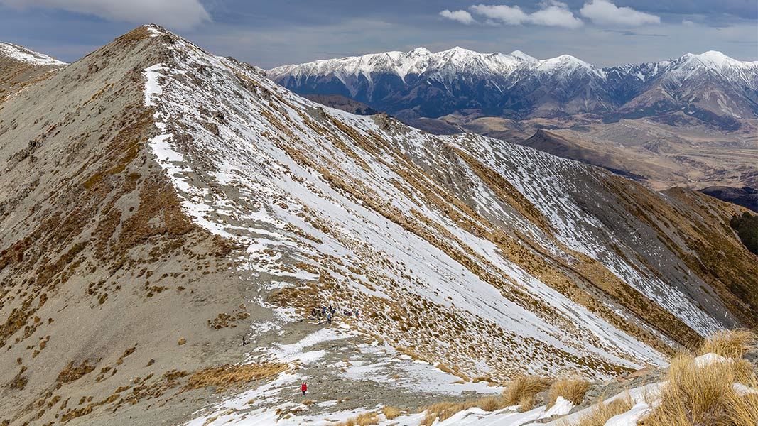
m From Lyndon Saddle, the track sidles across an open Dracophyllum and tussock-covered face. It then drops through beech forest to the Craigieburn Valley. The track meets Craigieburn Edge Track (also called Craigieburn Valley Track) . Here you can either turn left towards Craigieburn Valley ski field, or right to reach the start of the Craigieburn Valley ski field road (15-20 minutes walk). This section of the track has high avalanche risk – there are avalanches here every season. Even if there is no snow on the track, there can be avalanches that cross the track if there is snow on the slopes above. We recommend using this track outside of avalanche season (generally avalanches occur from May to November).
Loop option: Lyndon Saddle Loop Ride
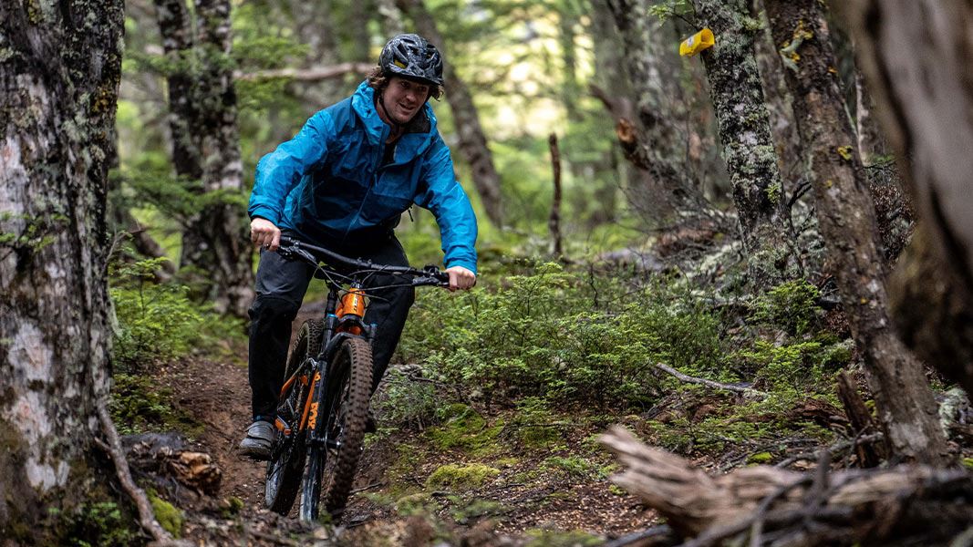
There is a popular loop ride that uses The Luge Track. It is Intermediate: Grade 3, 8.8 km and takes 1-3 hours to ride. Start at the Craigieburn picnic area. Ride the Sidle 73 Track to Craigieburn ski field road. Follow the road for around 3 km, then take the Craigieburn Edge Track . Turn off this track at the next junction and take The Luge track over Lyndon Saddle. This track emerges onto Broken River ski field road, then follow this road back down to the picnic area.
Source: DOC Te Papa Atawhai.
Know before you go
Check the forecast and pack for all weather
Check the forecast before you go. Always carry a raincoat and warm layers. This area gets hot in summer, so bring plenty of water and sun protection. Find a day hike packing list here. Weather forecasts for Mt Cheeseman and Canterbury High Country .
There is avalanche risk in sections of this track
The track between Lyndon Saddle and Craigieburn Edge Track is in an avalanche zone. These can occur anytime when there is now on the upper slopes, most commonly between May and November. We recommend avoiding this track during these times, and checking the NZ Avalanche Advisory if there may be snow.
Expect wasps, especially in summer and early autumn
Wasp populations reach high numbers from January to March – wear light coloured clothing and carry antihistamine cream/tablets as a precaution.
Shared use area
This track is used by walkers and mountain bikers – be respectful of other users. Mountain bikers should go slow and be ready to encounter walkers. Some people walk this track as part of a loop walk, by following Broken River road back to their car. Be careful of cars and supervise children closely. The road can be very busy during the ski season.
Source: DOC Te Papa Atawhai.
Joins these tracks
Source: DOC Te Papa Atawhai.
Nearby stops
Holloway Lodge
Canterbury • 1.2 km
Holloway Lodge is a hut located in the Canterbury region. The provided records do not include further details about its facilities or location.
Environmental Education Centre
Canterbury • 1.3 km
The Environmental Education Centre is a hut located in the Canterbury region. No further details about its facilities or specific location are available in the…

Mistletoe Flats Campsite
Standard • Canterbury • 1.5 km
Mistletoe Flats Campsite is located in Canterbury, set within a landscape of beech forest, tussock, and rugged mountains. The area offers nearby mountain…
Non-powered/tent sites • Shelter for cooking • Water from tap - not treated, boil before use
Lyndon Lodge
Canterbury • 2.7 km
Broken River Lodge
Canterbury • 2.8 km
Walks nearby
Notes from people who have been
No notes yet. If you have been, say what you found.
Something missing or out of date?
Closed, moved, wrong facts, or something we have missed? Travellers keep the Road Guide up to date. Tell us what you found at contribute@parkup.nz and we will check it and add it.
Ask us to take this down
A person reads every request. We do not remove a place until we have checked it.
Sources
- DOC Tracks (API) · CC BY 4.0Crown Copyright: Department of Conservation Te Papa Atawhai. Data sourced from the DOC Developer Portal (api.doc.govt.nz).