Cockayne Alley Track
WalkCanterburyOpen
- Grade
- Intermediate
- Walking time
- 2 hr
- Distance
- 4 km
- Dogs
- Under control
Access: read before you go
There is a locked gate near the top of the ski field road, around the 1289 m high point. There is another gate lower on the road, near the ice skating rink. This gate is normally kept open but is sometimes closed for safety reasons (eg due to avalanche risk).
Source: DOC Te Papa Atawhai.
Getting there
We have not checked a road end or car park for this place yet, so we do not give driving directions to it. Check how to get there before you go. Some routes cross private land and need the landowner's permission.
How to get there, on doc.govt.nzYou can start this track from Middle Hut car park on Cheeseman Road, or from Dracophyllum Flat Track (30 min/1.1 km from Texas Flat). Carry chains in winter for Cheeseman Skifield access road.
There is a locked gate near the top of the ski field road, around the 1289 m high point. There is another gate lower on the road, near the ice skating rink. This gate is normally kept open but is sometimes closed for safety reasons (eg due to avalanche risk).
Source: DOC Te Papa Atawhai.
Map and tracks
Track lines: DOC Te Papa Atawhai. Map data © OpenStreetMap contributors. Topo map: LINZ, CC BY 4.0. 43.16955° S, 171.68002° E
Got a good photo of this place? Send it to us and we will show it with your name.
About this place
This track links Dracophyllum Flat Track with Cheeseman Road.
The route
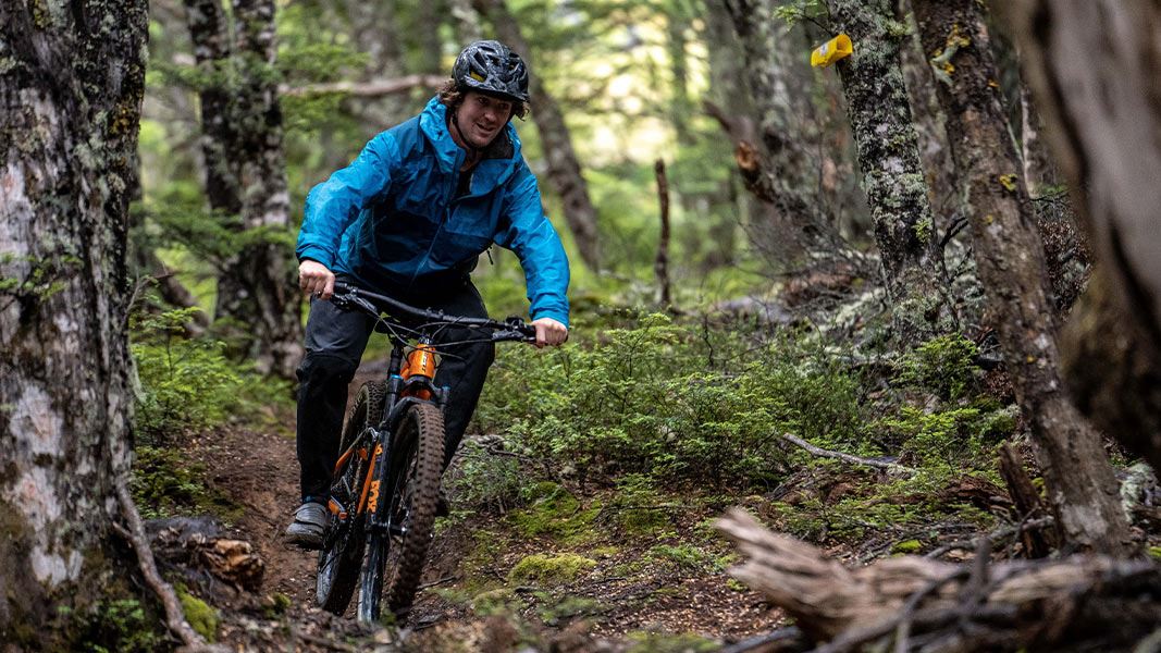
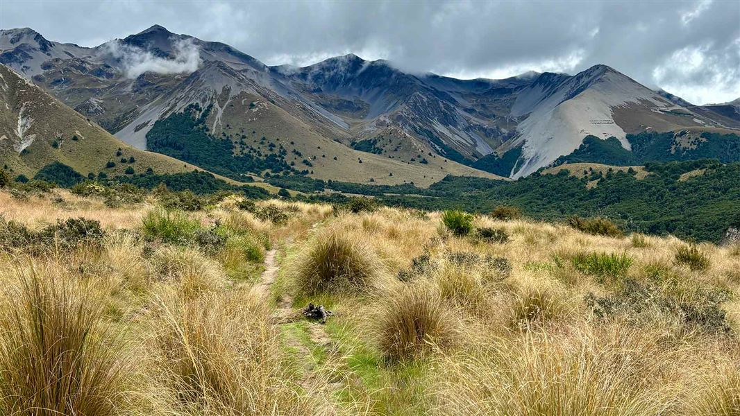
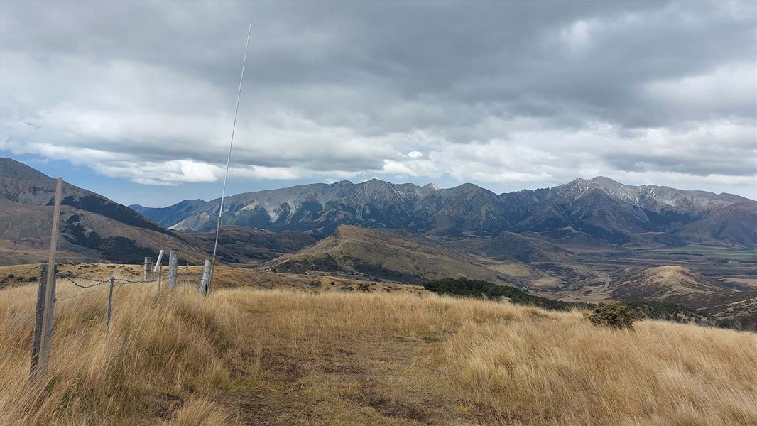
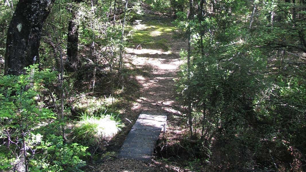
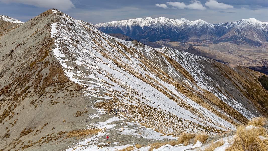
Cockayne Alley Track connects the Middle Hut car park on Cheeseman Road with Dracophyllum Flat Track . Starting from the top, the track descends steadily from Cheeseman Road through open terrain, then enters bush. It drops steeply down towards Tims Stream, then continues down the valley. The track crosses Cheeseman ski field access road, then shortly afterwards ends at the junction with Dracophyllum Flat Track. This track is shared use and is a very challenging (Expert: Grade 5) mountain biking ride. There is complex avalanche terrain on Cockayne Alley above the bush line and simple avalanche terrain to the bush line. There is more information on avalanche risk in Craigieburn in the Know Before You Go section and on this web page .
Source: DOC Te Papa Atawhai.
Know before you go
Check the weather forecast and pack for all weather
Check the forecast before you go. Always carry a raincoat and warm layers. This area gets hot in summer, so bring plenty of water and sun protection. Find a day hike packing list here. Weather forecasts for Mt Cheeseman and Canterbury High Country
This is an expert-level track for mountain bikers
This challenging track is graded Expert: Grade 5 for mountain bikers. Make sure you have the skills before attempting it. There are lots of Intermediate: Grade 3 tracks in the area, which make a good alternative for less experienced riders.
No fires
No fires are allowed within Craigieburn Forest Park.
Expect wasps, especially in summer and early autumn
Wasp populations reach high numbers from January to March – wear light coloured clothing and carry antihistamine cream/tablets as a precaution.
Shared use area
This track is used by walkers and mountain bikers – be respectful of other users. Mountain bikers should go slow and be ready to encounter walkers.
There may be avalanche danger
Check the avalanche terrain in this area. Avalanches are most common from May to November in the Craigieburn Range. There can also be avalanches outside this period, if there is still snow coverage. Check the avalanche danger before you go on the New Zealand Avalanche Advisory . If you are going into avalanche terrain, always: Have the relevant avalanche skills and training. Check the ATES rating and the New Zealand Avalanche Advisory . Go with a buddy. Both of you should carry and know how to use an avalanche transceiver, a snow shovel and a probe.
Source: DOC Te Papa Atawhai.
Nearby stops
Environmental Education Centre
Canterbury • 3.3 km
The Environmental Education Centre is a hut located in the Canterbury region. No further details about its facilities or specific location are available in the…
Holloway Lodge
Canterbury • 3.4 km
Holloway Lodge is a hut located in the Canterbury region. The provided records do not include further details about its facilities or location.
Broken River Lodge
Canterbury • 4.5 km
Lyndon Lodge
Canterbury • 4.5 km
Custodian House
Canterbury • 4.6 km
Walks nearby
Cuckoo Creek Track
Intermediate • 1 hr • 2 km • 0.91 km away
Hogs Back Track (Easy Up Track and Descent Track)
Intermediate • 2 hr 30 min • 7.4 km • 2.98 km away
Bridge Hill Track
Intermediate • 15 min one way • 600 m • 3.31 km away
Water Intake Track
Advanced • 10 min • 500 m • 4.14 km away
Camp Saddle Track
Advanced • 1 - 2 hr • 4.43 km away
Notes from people who have been
No notes yet. If you have been, say what you found.
Something missing or out of date?
Closed, moved, wrong facts, or something we have missed? Travellers keep the Road Guide up to date. Tell us what you found at contribute@parkup.nz and we will check it and add it.
Ask us to take this down
A person reads every request. We do not remove a place until we have checked it.
Sources
- DOC Tracks & Trails · CC BY 4.0Data sourced from the Department of Conservation (DOC), New Zealand.
- DOC Tracks (API) · CC BY 4.0Crown Copyright: Department of Conservation Te Papa Atawhai. Data sourced from the DOC Developer Portal (api.doc.govt.nz).