Camp Saddle Track
WalkCanterburyOpen
- Grade
- Expert
- Walking time
- 2 hr
- Dogs
- Under control
Access: read before you go
Follow Broken River Road until you reach the locked gate and carpark where the road crosses Camp Stream, then walk 1 km to the signposted track (opposite the ski club tractor shed).
Source: DOC Te Papa Atawhai.
Getting there
We have not checked a road end or car park for this place yet, so we do not give driving directions to it. Check how to get there before you go. Some routes cross private land and need the landowner's permission.
How to get there, on doc.govt.nzTo access Camp Saddle Track, follow Broken River Road. This road is about 110 km from Christchurch on State Highway 73 towards Arthur’s Pass and is a signposted side-road to Mistletoe Flat, the Environmental Education Centre and Broken River ski field.
Follow Broken River Road until you reach the locked gate and carpark where the road crosses Camp Stream, then walk 1 km to the signposted track (opposite the ski club tractor shed).
Source: DOC Te Papa Atawhai.
Map
Map data © OpenStreetMap contributors. Topo map: LINZ, CC BY 4.0. 43.13257° S, 171.70029° E
About this place
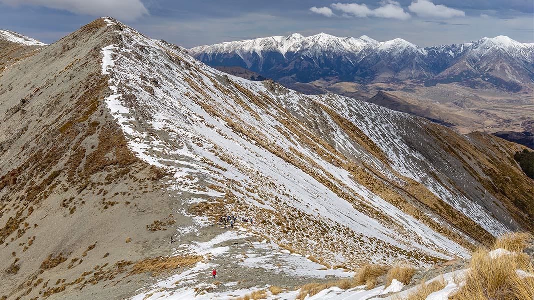
An access track leads to Camp Saddle. From here, experienced backcountry trampers can explore untracked terrain.
The route
There are avalanches in this area in winter and early spring (May-November). We recommend choosing another track at these times.
Camp Saddle Track
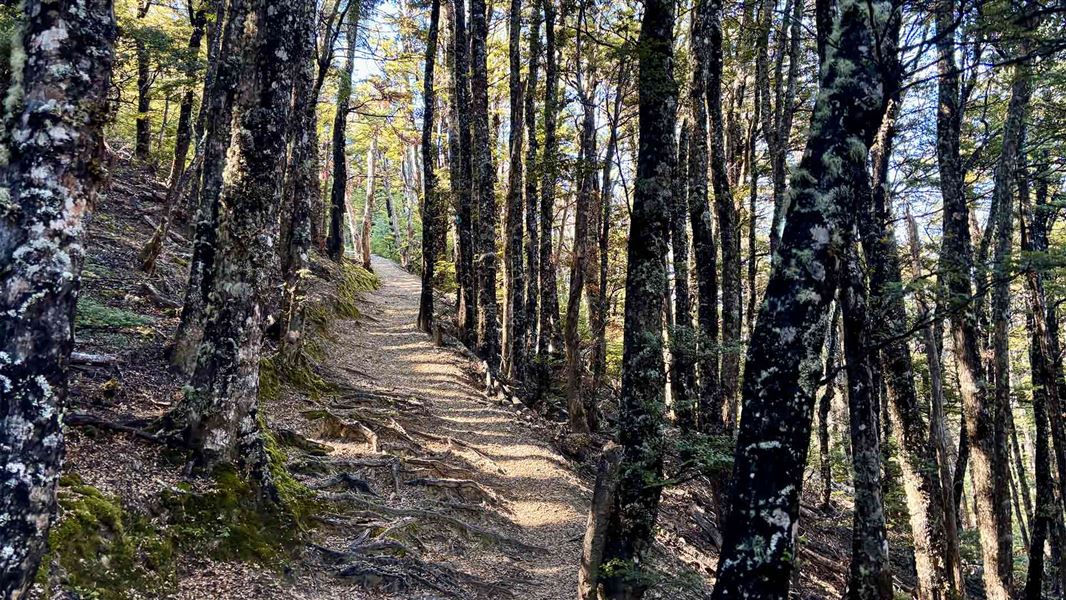
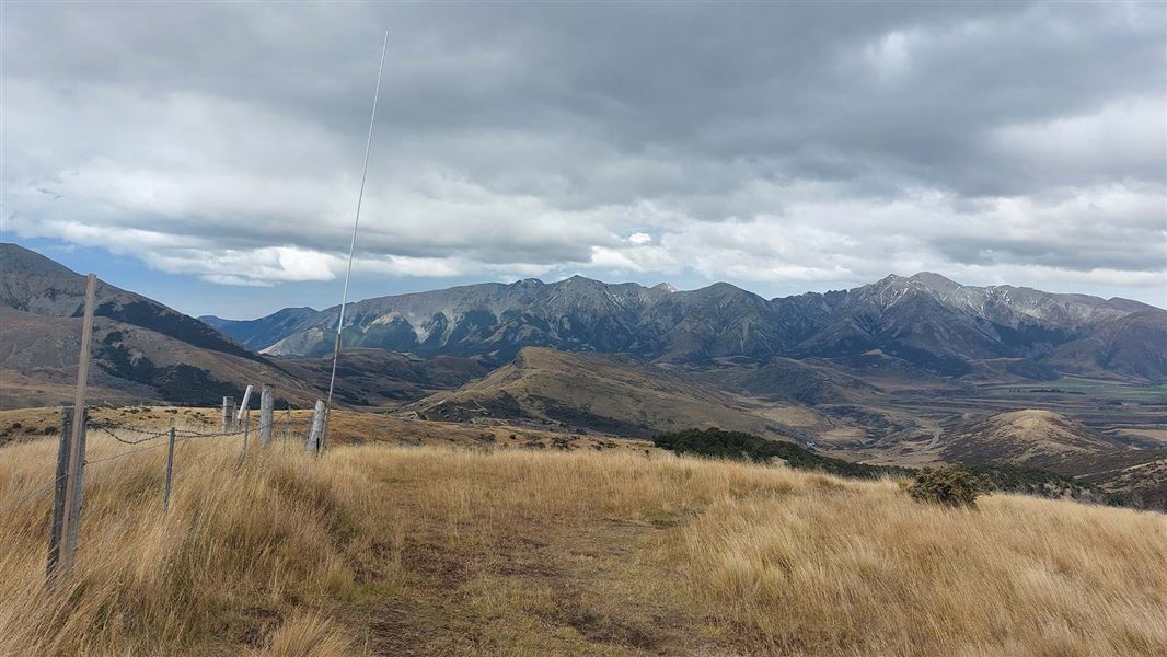
The track from Broken River ski field road is the easiest way to get to Camp Saddle. From the locked gate and carpark where the road crosses Camp Stream, walk 1 km to the signposted track (opposite the ski club tractor shed). A wide four-wheel drive track narrows as it climbs steadily towards the saddle. It passes through beech forest then emerges into open tussock, and poles mark the route to Camp Saddle. The climb to the saddle generally takes 1-2 hours.
Going beyond Camp Saddle
There are no tracks or marked DOC routes beyond Camp Saddle. It is best suited for experienced backcountry trampers, who have good gear and are confident navigating in untracked terrain (including using a map and compass).
Camp Saddle to Lyndon Saddle (no track)
Time: 1 - 2 hr one way
From Camp Saddle, trampers can navigate themselves to Lyndon Saddle by continuing southeast along the well-defined ridge. After an hour descend steeply down a scree slope. Stay on the left of the scree to join an unmarked track through the beech forest to Lyndon Saddle. It is much easier to go down scree than scramble up it, so this trip is better done as a descent.
Camp Saddle to Craigieburn Edge Track (no track)
Time: 2 hr one way
You can descend from Camp Saddle down soft scree and tussock to Craigieburn Edge Track. It is also possible to ascend to Camp Saddle this way.
Source: DOC Te Papa Atawhai.
Nearby stops
Broken River Lodge
Canterbury • 1 km
Lyndon Lodge
Canterbury • 1 km
Custodian House
Canterbury • 1.1 km
Palmer Lodge
Canterbury • 1.5 km
Holloway Lodge
Canterbury • 2.2 km
Holloway Lodge is a hut located in the Canterbury region. The provided records do not include further details about its facilities or location.
Walks nearby
Craigieburn Edge Track
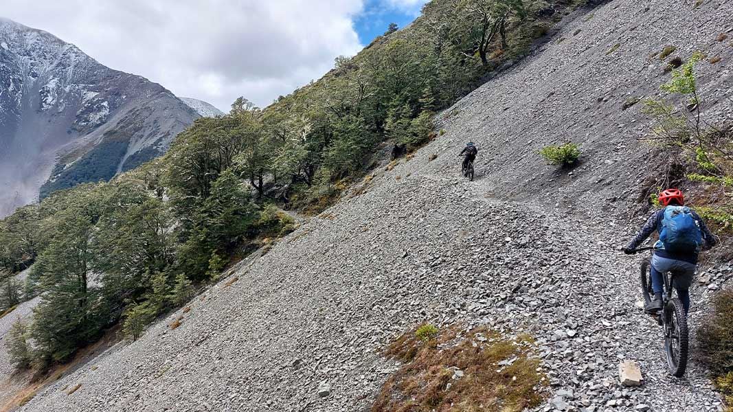
Intermediate • 1 hr 15 min • 4.5 km • 1.66 km away
The Luge Track
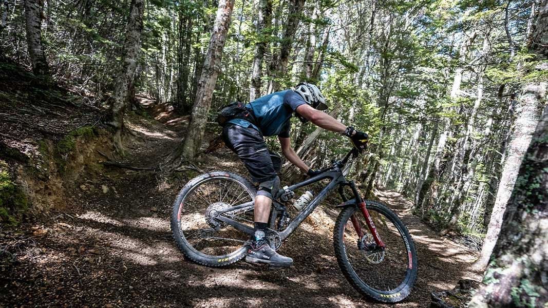
Intermediate • 1 hr 45 min • 3.3 km • 1.73 km away
Helicopter Hill Track
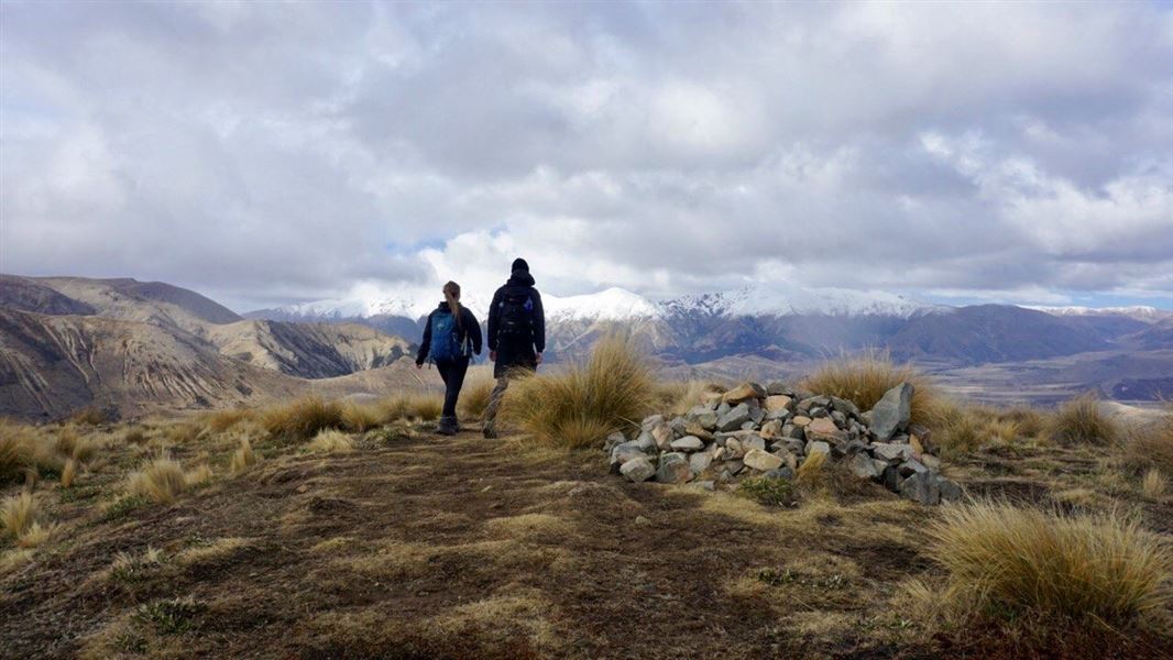
Intermediate • 15 - 30 min one way • 500 m • 2.32 km away
Mistletoe Track
Intermediate • 1 hr 30 min • 2.4 km away
Bridge Hill Track
Intermediate • 15 min one way • 600 m • 2.78 km away
Notes from people who have been
No notes yet. If you have been, say what you found.
Something missing or out of date?
Closed, moved, wrong facts, or something we have missed? Travellers keep the Road Guide up to date. Tell us what you found at contribute@parkup.nz and we will check it and add it.
Ask us to take this down
A person reads every request. We do not remove a place until we have checked it.
Sources
- DOC Tracks & Trails · CC BY 4.0Data sourced from the Department of Conservation (DOC), New Zealand.
- DOC Tracks (API) · CC BY 4.0Crown Copyright: Department of Conservation Te Papa Atawhai. Data sourced from the DOC Developer Portal (api.doc.govt.nz).