Daly's Clearing Loop Track
WalkWaikatoOpen
- Grade
- Advanced
- Walking time
- 4 hr
- Distance
- 7.5 km
- Route
- One way
- Dogs
- No dogs
Access: read before you go
Track starts from the end of Franklin Road, off Waitawheta Road from SH2 near Waikino. Take care as this is private property.
Source: DOC Te Papa Atawhai.
Getting there
We have not checked a road end or car park for this place yet, so we do not give driving directions to it. Check how to get there before you go. Some routes cross private land and need the landowner's permission.
How to get there, on doc.govt.nzTrack starts from the end of Franklin Road, off Waitawheta Road from SH2 near Waikino. Take care as this is private property.
Source: DOC Te Papa Atawhai.
Map
Map data © OpenStreetMap contributors. Topo map: LINZ, CC BY 4.0. 37.48368° S, 175.77234° E
Got a good photo of this place? Send it to us and we will show it with your name.
About this place
A highlight along this track is the extensive groves of nīkau nestled under tall tawa, kohekohe and pukatea forest.
The route
From the end of Franklin Road take the Dean Track south-west and uphill through private farmland for 30 minutes to reach the park boundary. The track then follows a spur up through bush to meet the Mangakino Pack Track. A highlight along this track is the extensive groves of nīkau nestled under tall tawa, kohekohe and pukatea forest. Turn south until you reach the junction with the Daly's Clearing Track. Daly's Clearing Hut is about 15 minutes along this track, above the Romanga Stream. After passing the hut, the track drops gradually to meet the Waitawheta Valley Tramway. From here, head north again to return to Franklin Road.
Source: DOC Te Papa Atawhai.

Nearby stops
Dickey Flat Adventure Camp
Waikato • 5.5 km

Dickey Flat Campsite
Standard • Waikato • 5.5 km
Dickey Flat Campsite is located beside the Waitawheta River, which is known for its trout and swimming holes downstream. There is a year-round liquor ban at…
Non-powered/tent sites • Water from stream • Toilets - non-flush

Waitawheta Hut
Serviced • 26 bunks • Waikato • 5.6 km
Waitawheta Hut is a serviced 26-bunk hut located in the Tauranga area.
Heating • Mattresses • Toilets - non-flush
Hardys Hut
Waikato • 6.2 km
Freedom Camping for Self Contained Vehicles
Waikato • 9.4 km
This campsite in the Waikato region is designated for self-contained vehicles only. No other facilities or details are provided in the available records.
Walks nearby
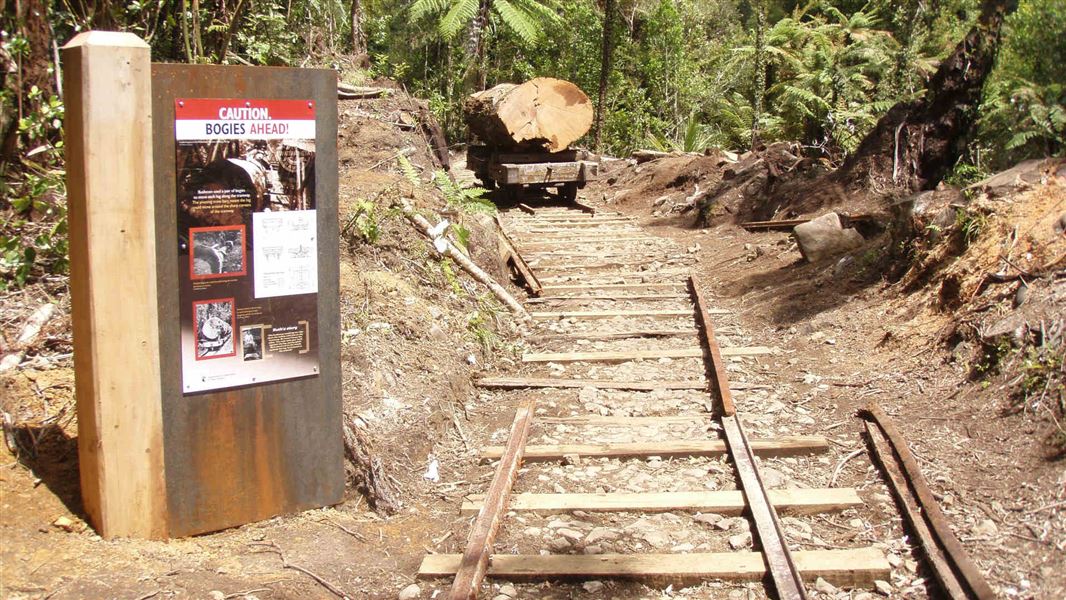
Waitawheta Tramway
Intermediate • 8 hr (return), 3-4 hrs one way • 19 km • 3.8 km away
Tui Mine Track (from Te Aroha Summit to town)
Advanced • 3 hr 30 min from summit one way • 8.4 km from summit • 5.28 km away
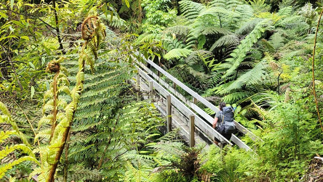
Waipapa Track to Waitawheta Hut
Advanced • 3 hours • 5.28 km away
Waitengaue Track
Advanced • 4 hr one way • 9.8 km • 6.28 km away
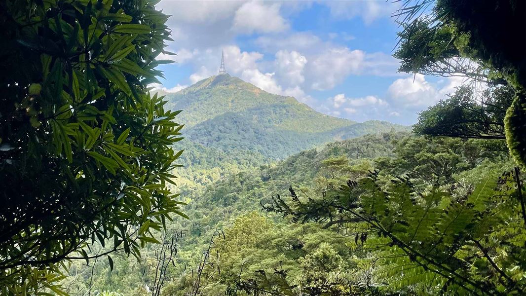
Te Aroha Summit Track
Advanced • 3 hr one way • 3.9 km • 6.83 km away
Notes from people who have been
No notes yet. If you have been, say what you found.
Something missing or out of date?
Closed, moved, wrong facts, or something we have missed? Travellers keep the Road Guide up to date. Tell us what you found at contribute@parkup.nz and we will check it and add it.
Ask us to take this down
A person reads every request. We do not remove a place until we have checked it.
Sources
- DOC Tracks & Trails · CC BY 4.0Data sourced from the Department of Conservation (DOC), New Zealand.
- DOC Tracks (API) · CC BY 4.0Crown Copyright: Department of Conservation Te Papa Atawhai. Data sourced from the DOC Developer Portal (api.doc.govt.nz).