Tui Mine Track (from Te Aroha Summit to town)
WalkWaikato
- Grade
- Advanced
- Walking time
- 3 hr 30 min
- Distance
- 8.4 km from summit
- Dogs
- No dogs
Getting there
We have not checked a road end or car park for this place yet, so we do not give driving directions to it. Check how to get there before you go. Some routes cross private land and need the landowner's permission.
How to get there, on doc.govt.nzTe Aroha Summit Track (also called Bald Spur Track) begins in the Te Aroha Domain.
Source: DOC Te Papa Atawhai.
Map
Map data © OpenStreetMap contributors. Topo map: LINZ, CC BY 4.0. 37.52176° S, 175.73649° E
Got a good photo of this place? Send it to us and we will show it with your name.
About this place
A longer track from Te Aroha town to the summit of Te Aroha, via the historic Tui Mine.
The route
This track is described from Te Aroha summit to Te Aroha, as part of a loop with Te Aroha Summit Track. This track begins at the Mount Te Aroha Summit and leads back to Te Aroha. Descend from the summit via the stairways and steps on the northeast side. Dog Kennel Flat is reached after 20 minutes at an intersection with Mountain Road. The route then continues north to the Tui saddle before descending steeply to the west down a rocky section and then follows the road for about 15 minutes before taking a marked bush track on the left. Just below here is the Tui Mine and tailings. The track passes an old concrete explosives magazine, crosses the Mountain Road and meanders down through lowland forest of puriri and kohekohe leaving the park at the junction with the Tui Domain Track. Follow the Tui Domain Track through regenerating native forest and shallow mountain streams for 1 hour 30 minutes to reach the Mokena Geyser in the Te Aroha Domain. Side tracks offer alternate exits to Hamilton Street or a detour to the No22 spring. Look out for cyclists as you cross the marked mountain bike track.
Mountain biking
Mountain biking is prohibited.
Source: DOC Te Papa Atawhai.
Know before you go
It can be very cold near the summit, pack warm clothes
The summit of Te Aroha is nearly 1 km above sea level. It experiences alpine weather and can be far colder than temperatures in Te Aroha. Even if it’s warm in the town, pack plenty of warm layers and a waterproof raincoat.
No water on track, carry lots
There are no water sources on the track and the long climb means walkers need lots of water. We recommend carrying 2-3 L of water per person. Find a day hikes packing list here
Be careful of historic mines
Mine Tunnels and shafts are dangerous and may be hidden by vegetation. Keep to marked official tracks Do not enter tunnels unless they are clearly marked for public access.
Source: DOC Te Papa Atawhai.
Nearby stops
Hardys Hut
Waikato • 2.3 km
Freedom Camping for Self Contained Vehicles
Waikato • 4.2 km
This campsite in the Waikato region is designated for self-contained vehicles only. No other facilities or details are provided in the available records.

Daly's Clearing Hut
Standard • 16 bunks • Waikato • 4.7 km
Daly's Clearing Hut is a standard 16-bunk hut located in the Tauranga area.
Mattresses • Toilets - non-flush • Water from tap - not treated, boil before use
Te Aroha Holiday Park
Waikato • 5.2 km

Waitawheta Hut
Serviced • 26 bunks • Waikato • 6.2 km
Waitawheta Hut is a serviced 26-bunk hut located in the Tauranga area.
Heating • Mattresses • Toilets - non-flush
Walks nearby
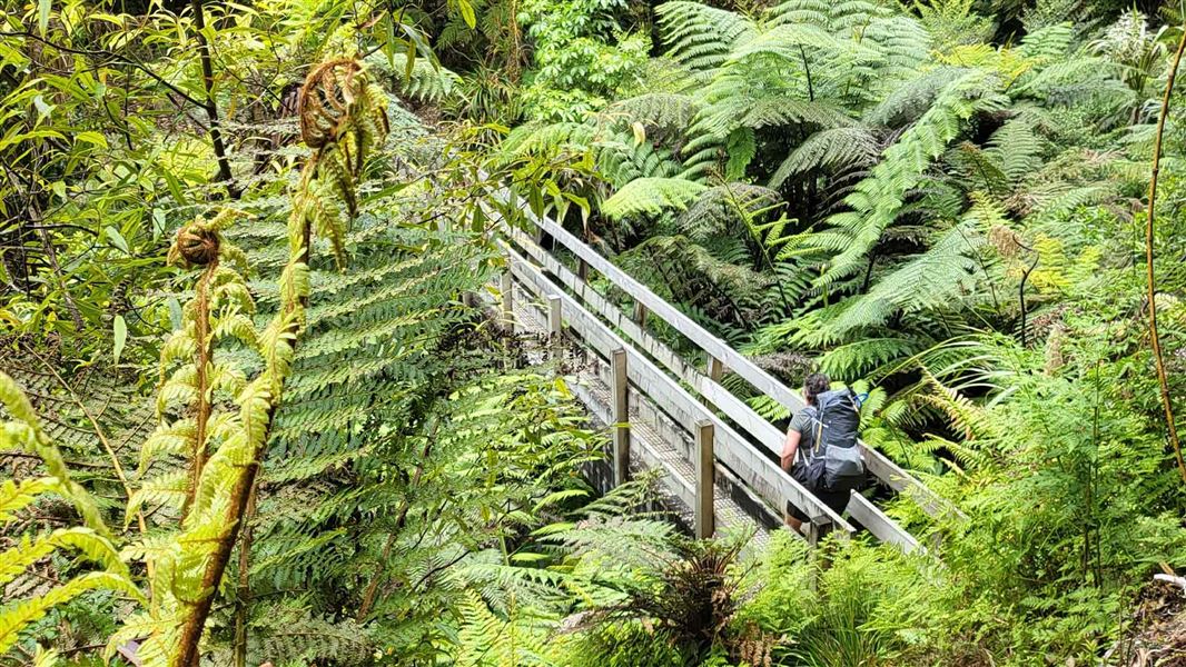
Waipapa Track to Waitawheta Hut
Advanced • 3 hours • 1.63 km away
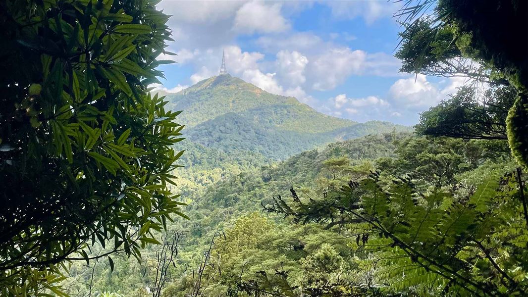
Te Aroha Summit Track
Advanced • 3 hr one way • 3.9 km • 1.84 km away
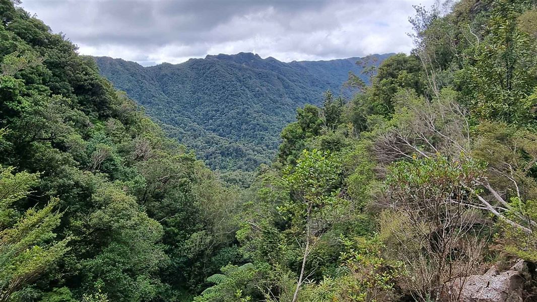
High-Level Pack Track
Advanced • 2 hr 30 min • 4.3 km • 3.11 km away
Low-Level Loop
Easy • 2 hr • 5.5 km • 4.26 km away
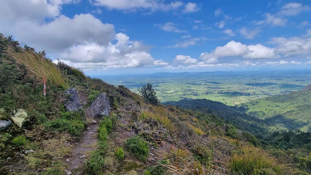
Pylon Peak Summit Loop
Advanced • 6-7 hr • 4.4 km to the summit, 13.7 km • 4.5 km away
Notes from people who have been
No notes yet. If you have been, say what you found.
Something missing or out of date?
Closed, moved, wrong facts, or something we have missed? Travellers keep the Road Guide up to date. Tell us what you found at contribute@parkup.nz and we will check it and add it.
Ask us to take this down
A person reads every request. We do not remove a place until we have checked it.
Sources
- DOC Tracks (API) · CC BY 4.0Crown Copyright: Department of Conservation Te Papa Atawhai. Data sourced from the DOC Developer Portal (api.doc.govt.nz).