High-Level Pack Track
WalkWaikato
- Grade
- Advanced
- Walking time
- 2 hr 30 min
- Distance
- 4.3 km
- Dogs
- No dogs
Getting there
We have not checked a road end or car park for this place yet, so we do not give driving directions to it. Check how to get there before you go. Some routes cross private land and need the landowner's permission.
How to get there, on doc.govt.nzFrom Te Aroha, travel south for approximately 5 km on Te Aroha Gordon Rd then turn left into Waiorongomai Rd.
The track starts from the carpark at the end of Waiorongomai Rd.
Source: DOC Te Papa Atawhai.
Map
Map data © OpenStreetMap contributors. Topo map: LINZ, CC BY 4.0. 37.54515° S, 175.75580° E
About this place
This steep track is best suited to more experience trampers. It can be combined with other tracks to make a loop walk, or used to access longer tramps in the upper Waiorongomai Valley track network.
The route
This track climbs steadily up the valley towards the Waiorongomai saddle. It closely followed the path of the Piako County Tramway to give access to the upper valley for miners and packhorses. Follow the signs to the High-Level Pack Track from the car park. Continue straight on at the junctions with the Low-Level Loop and the Buck Rock Track, which is reached after about 30 min. The path crosses a number of streams before ascending to a bridge across Butlers Incline. The following junction gives access to a number of other tracks, and opportunities for a variety of loop walks up to 6 hr duration. The High Level Pack Track branches to the left and continues upwards, passing several mine portals and waterfalls. It levels out just before the old mining camp known as Quartzville and then descends to a junction just above the May Queen Incline. Return the same way or do a loop walk by taking the Low Level Track heading south. Longer tramps are accessible by continuing north from the May Queen Incline up the Te Aroha Link Track to Waiorongomai saddle, and then on to Waitawheta, Karangahake and other destinations.
Source: DOC Te Papa Atawhai.
Know before you go
Pack warm clothes and wear sturdy boots
This terrain is steep. It experiences alpine weather and the temperature at the summit can be far colder than temperatures in Te Aroha. Even if it’s warm in the town, pack plenty of warm layers, a waterproof raincoat and wear sturdy boots. Find a day hikes packing list here
Be safe around historic mines
Mine tunnels and shafts are very dangerous and may be hidden by vegetation. To enjoy this place safely: Keep to official marked tracks Do not enter tunnels unless they are clearly marked for public access
No mountain biking
Mountain biking is not allowed on this track. Find places where you can mountain bike .
Stay safe when crossing rivers and streams
If you plan to cross unbridged rivers or side streams, know how to cross safely and be prepared for if you cannot cross. Do not cross if the river or stream is flooded, you cannot find safe entry and exit points or are unsure it’s safe. Turn back or wait for the river to drop. If in doubt, stay out. How to cross rivers safely NIWA river flow forecasts: View a video of national followed by regional river flows
No dogs
Dogs are not permitted on this track.
Lock your car and leave valuables out of sight
The car park is located in a remote location so its important your vehicle is left secured. Make sure it is locked and that all valuables are out of sight.
Source: DOC Te Papa Atawhai.
Nearby stops
Hardys Hut
Waikato • 0.8 km
Te Aroha Holiday Park
Waikato • 3.9 km
Freedom Camping for Self Contained Vehicles
Waikato • 4.7 km
This campsite in the Waikato region is designated for self-contained vehicles only. No other facilities or details are provided in the available records.

Waitawheta Hut
Serviced • 26 bunks • Waikato • 4.9 km
Waitawheta Hut is a serviced 26-bunk hut located in the Tauranga area.
Heating • Mattresses • Toilets - non-flush

Daly's Clearing Hut
Standard • 16 bunks • Waikato • 6.8 km
Daly's Clearing Hut is a standard 16-bunk hut located in the Tauranga area.
Mattresses • Toilets - non-flush • Water from tap - not treated, boil before use
Walks nearby
Low-Level Loop
Easy • 2 hr • 5.5 km • 1.4 km away
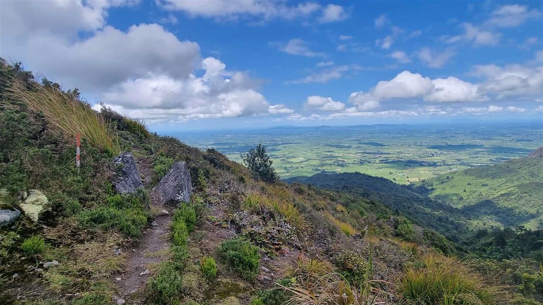
Pylon Peak Summit Loop
Advanced • 6-7 hr • 4.4 km to the summit, 13.7 km • 1.46 km away
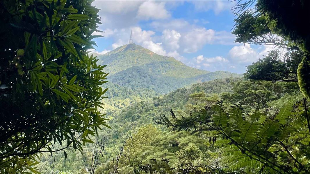
Te Aroha Summit Track
Advanced • 3 hr one way • 3.9 km • 1.83 km away
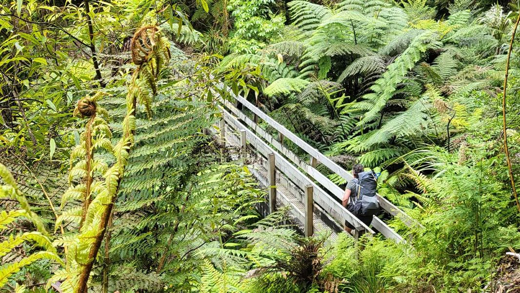
Waipapa Track to Waitawheta Hut
Advanced • 3 hours • 1.86 km away
Tui Mine Track (from Te Aroha Summit to town)
Advanced • 3 hr 30 min from summit one way • 8.4 km from summit • 3.11 km away
Notes from people who have been
No notes yet. If you have been, say what you found.
Something missing or out of date?
Closed, moved, wrong facts, or something we have missed? Travellers keep the Road Guide up to date. Tell us what you found at contribute@parkup.nz and we will check it and add it.
Ask us to take this down
A person reads every request. We do not remove a place until we have checked it.
Sources
- DOC Tracks (API) · CC BY 4.0Crown Copyright: Department of Conservation Te Papa Atawhai. Data sourced from the DOC Developer Portal (api.doc.govt.nz).