Waipapa Track to Waitawheta Hut
WalkWaikato
- Grade
- Advanced
- Walking time
- 3 hr
- Dogs
- No dogs
Getting there
We have not checked a road end or car park for this place yet, so we do not give driving directions to it. Check how to get there before you go. Some routes cross private land and need the landowner's permission.
How to get there, on doc.govt.nzThis track can be started from Waiorongomai Saddle or Waitawheta Hut.
Source: DOC Te Papa Atawhai.
Map and tracks
Track lines: DOC Te Papa Atawhai. Map data © OpenStreetMap contributors. Topo map: LINZ, CC BY 4.0. 37.52859° S, 175.75282° E
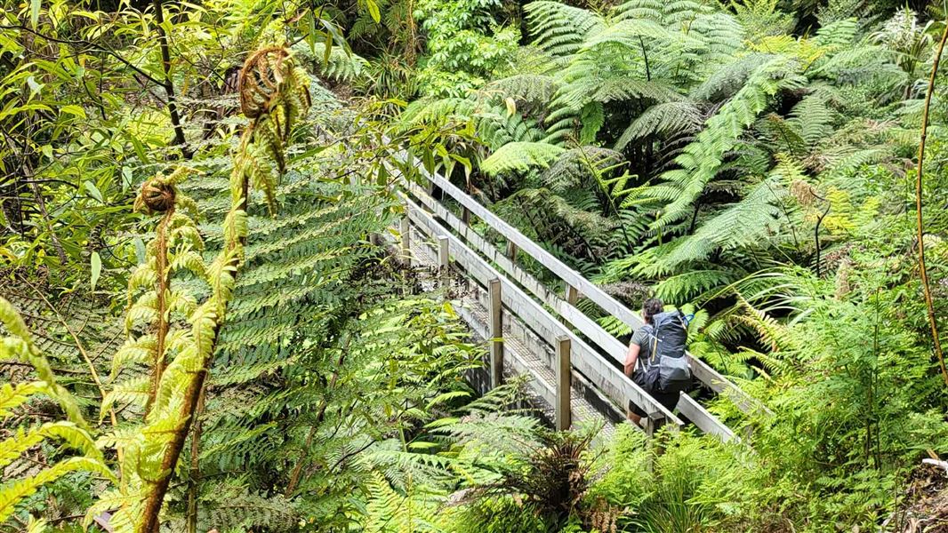
About this place
A more challenging route to popular Waitawheta Hut, starting from Waiorongomai or Te Aroha.
The route
From Waiorongomai Saddle, follow Waipapa Track north-east along the ridge (this section is also known as the Crimson Thread Track). The track then swings to the south-east and passes the Pukekohatu high point (799 m). The track then reaches a junction. the Waipapa Track descends into the Waitawheta Valley, while a route (the original North-South route) continues along the ridge towards Pylon Peak. Follow the Waipapa Track, signposted to Waitawheta Hut. The Waipapa Track descends off the ridge, then sidles around the headwaters of the Waipapa Stream. It descends gently into the Waitawheta Valley, to Waitawheta Hut. This popular hut is situated in a grassy clearing near the Waitawheta River. The hut is located on the original Waitawheta cookhouse site. There is a replica sawmill 5 mins down the track from the hut. It is identical to what was used in the kauri saw-milling days. There is a more family friendly route to the hut, via the Waitawheta Tramway Track starting at Franklin Road.
Source: DOC Te Papa Atawhai.
Know before you go
Expect a steep and rough track
You need good fitness for this track. It is steep and the terrain is best suited for experienced trampers. The track is rough, so wear comfortable hiking boots/shoes with good grip and ankle support.
Be prepared for the backcountry
You must be well prepared when tramping. Ensure you have a tent, sleeping bag, topographic map, torch, strong boots, warm clothing, a good raincoat, first aid kit, ample food and drink, a hat, and sunscreen. Do not rely on mobile coverage. It is intermittent in this area. What to pack for an overnight or multi-day hike .
Take care when crossing streams
There are unbridged stream crossings on this track. They are normally small and safe to cross, but they can flood after heavy rain and become dangerous. Assess them carefully before crossing and if in doubt, stay out. Learn how to recognise the signs of an unsafe stream . Check the weather before you go – forecast for Karangahake Gorge .
Source: DOC Te Papa Atawhai.
Joins these tracks
Source: DOC Te Papa Atawhai.
Nearby stops
Hardys Hut
Waikato • 1 km

Waitawheta Hut
Serviced • 26 bunks • Waikato • 4.7 km
Waitawheta Hut is a serviced 26-bunk hut located in the Tauranga area.
Heating • Mattresses • Toilets - non-flush
Freedom Camping for Self Contained Vehicles
Waikato • 4.9 km
This campsite in the Waikato region is designated for self-contained vehicles only. No other facilities or details are provided in the available records.

Daly's Clearing Hut
Standard • 16 bunks • Waikato • 5 km
Daly's Clearing Hut is a standard 16-bunk hut located in the Tauranga area.
Mattresses • Toilets - non-flush • Water from tap - not treated, boil before use
Te Aroha Holiday Park
Waikato • 5.1 km
Walks nearby
Tui Mine Track (from Te Aroha Summit to town)
Advanced • 3 hr 30 min from summit one way • 8.4 km from summit • 1.63 km away
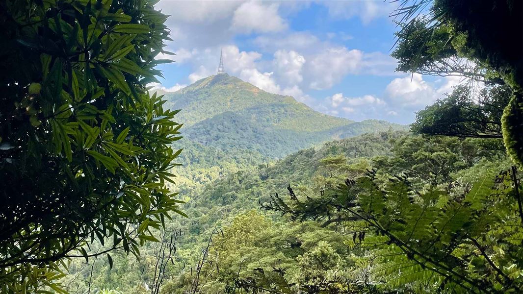
Te Aroha Summit Track
Advanced • 3 hr one way • 3.9 km • 1.77 km away
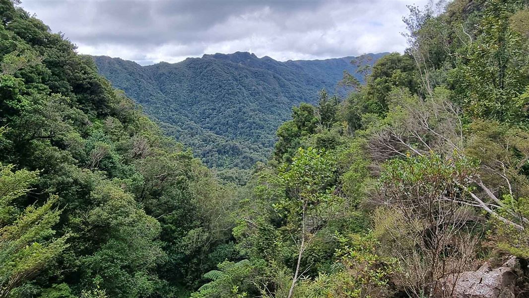
High-Level Pack Track
Advanced • 2 hr 30 min • 4.3 km • 1.86 km away
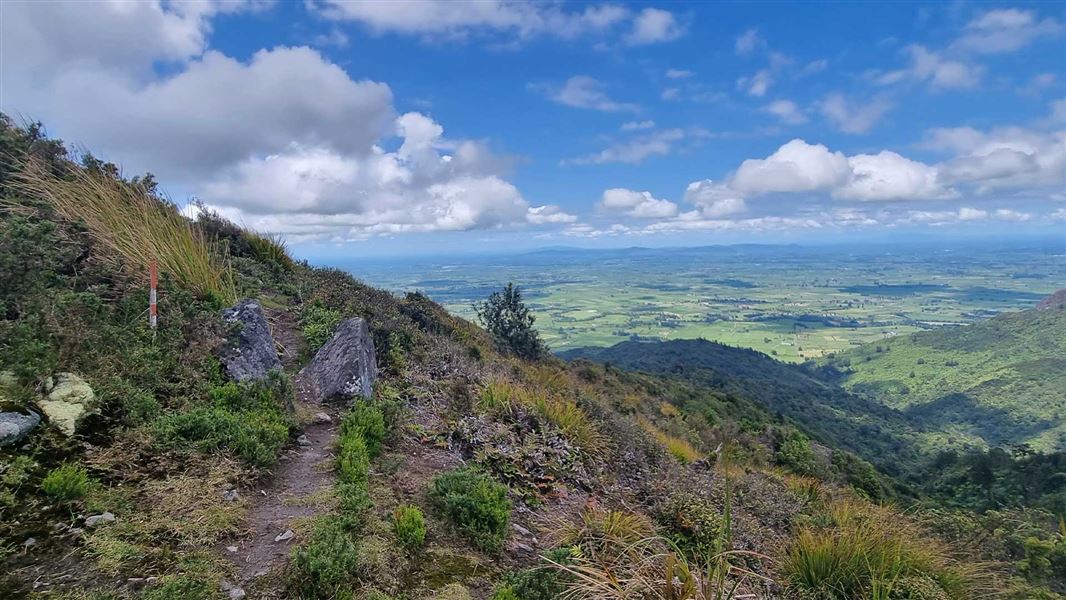
Pylon Peak Summit Loop
Advanced • 6-7 hr • 4.4 km to the summit, 13.7 km • 3.05 km away
Low-Level Loop
Easy • 2 hr • 5.5 km • 3.23 km away
Notes from people who have been
No notes yet. If you have been, say what you found.
Something missing or out of date?
Closed, moved, wrong facts, or something we have missed? Travellers keep the Road Guide up to date. Tell us what you found at contribute@parkup.nz and we will check it and add it.
Ask us to take this down
A person reads every request. We do not remove a place until we have checked it.
Sources
- DOC Tracks (API) · CC BY 4.0Crown Copyright: Department of Conservation Te Papa Atawhai. Data sourced from the DOC Developer Portal (api.doc.govt.nz).