Waitengaue Track
WalkBay of PlentyOpen
- Grade
- Advanced
- Walking time
- 4 hr
- Distance
- 9.8 km
- Dogs
- No dogs
Getting there
We have not checked a road end or car park for this place yet, so we do not give driving directions to it. Check how to get there before you go. Some routes cross private land and need the landowner's permission.
How to get there, on doc.govt.nzWaitengaue Track begins on Woodland Road, off SH2 north of Katikati.
Source: DOC Te Papa Atawhai.
Map and tracks
Track lines: DOC Te Papa Atawhai. Map data © OpenStreetMap contributors. Topo map: LINZ, CC BY 4.0. 37.50589° S, 175.83783° E
Got a good photo of this place? Send it to us and we will show it with your name.
About this place
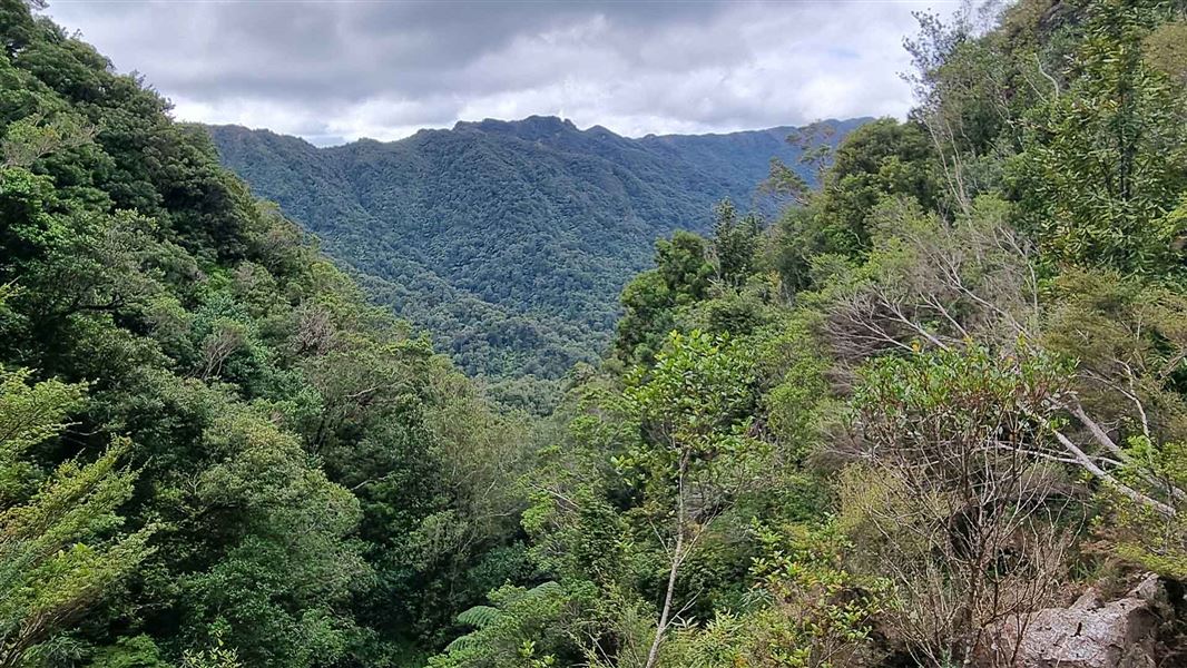
Enjoy walking along the former Waitengaue bush tramway on this track that takes you to Waitawheta Hut.
The route
From Woodland Road, the track follows the fence line and crosses Wairoa Stream. Continuing westwards it also crosses the Waitengaue stream a few times. The track then follows the river and a side creek before climbing over a saddle. It continues along the tramway with more river crossings and then follows a tributary. After crossing a steep saddle, the track descends into the Waitawheta valley. Turn right at the junction and walk 100 m to another junction. The hut is 100 m up from here.
Source: DOC Te Papa Atawhai.
Know before you go
Stay safe when crossing rivers and streams
If you plan to cross unbridged rivers or side streams, know how to cross safely and be prepared for if you cannot cross. Do not cross if the river or stream is flooded, you cannot find safe entry and exit points or are unsure it’s safe. Turn back or wait for the river to drop. If in doubt, stay out. How to cross rivers safely NIWA river flow forecasts: View a video of national followed by regional river flows
Source: DOC Te Papa Atawhai.
Joins these tracks
Source: DOC Te Papa Atawhai.

Nearby stops

Daly's Clearing Hut
Standard • 16 bunks • Waikato • 7 km
Daly's Clearing Hut is a standard 16-bunk hut located in the Tauranga area.
Mattresses • Toilets - non-flush • Water from tap - not treated, boil before use
Hardys Hut
Waikato • 8.2 km
Haiku Park Freedom Camping (self-contained only)
Bay of Plenty • 8.8 km
Haiku Park is a freedom camping area in the Bay of Plenty that is restricted to self-contained vehicles. The site provides basic facilities for travelers who…
Katikati Naturist Park
Bay of Plenty • 8.9 km
Katikati Naturist Park is a campsite located in the Bay of Plenty region. The provided data does not include specific details about its facilities or amenities.
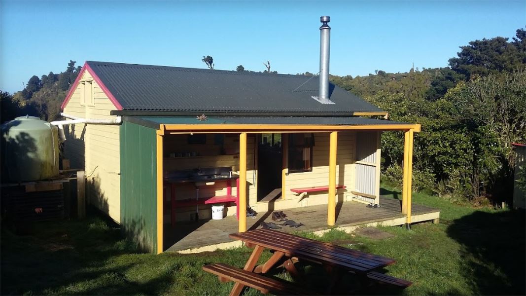
Te Rereatukahia Hut
Serviced • 12 bunks • Bay of Plenty • 8.9 km
Te Rereatukahia Hut is a serviced 12-bunk hut located in the Bay of Plenty region. Bookings must be made online in advance.
Heating • Mattresses • Toilets - non-flush
Walks nearby
Lindemann Loop Track
Advanced • 5 hr • 11 km • 4.49 km away
Daly's Clearing Loop Track
Advanced • 4 hr • 7.5 km • 6.28 km away
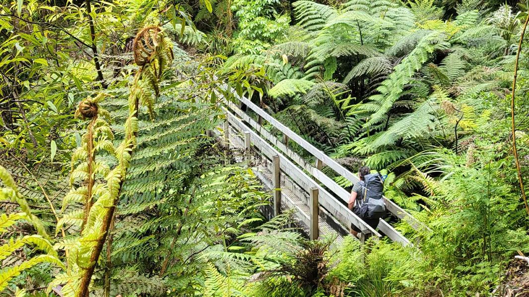
Waipapa Track to Waitawheta Hut
Advanced • 3 hours • 7.91 km away
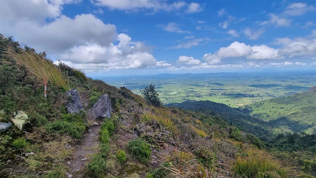
Pylon Peak Summit Loop
Advanced • 6-7 hr • 4.4 km to the summit, 13.7 km • 7.96 km away
High-Level Pack Track
Advanced • 2 hr 30 min • 4.3 km • 8.45 km away
Notes from people who have been
No notes yet. If you have been, say what you found.
Something missing or out of date?
Closed, moved, wrong facts, or something we have missed? Travellers keep the Road Guide up to date. Tell us what you found at contribute@parkup.nz and we will check it and add it.
Ask us to take this down
A person reads every request. We do not remove a place until we have checked it.
Sources
- DOC Tracks (API) · CC BY 4.0Crown Copyright: Department of Conservation Te Papa Atawhai. Data sourced from the DOC Developer Portal (api.doc.govt.nz).
- DOC Tracks & Trails · CC BY 4.0Data sourced from the Department of Conservation (DOC), New Zealand.