Racemans Hut
Basic/bivvies hutRemarkables Conservation Area, OtagoOpen
- Sleeps
- 2 bunks
- Booking
- Not bookable
- Heating
- None
- Drinking water
- Not drinkable
- Toilet
- Non-flush
Getting there
We have not checked a road end or car park for this place yet, so we do not give driving directions to it. Check how to get there before you go. Some routes cross private land and need the landowner's permission.
How to get there, on doc.govt.nzThis is a backcountry hut with no DOC track access. You will need to plan your route and navigate yourself, using aids like a map, compass and GPS. Learn navigation skills.
- Topo map
- Topo50 sheet CC11
- Grid reference
- E1275464, N4999165
Source: DOC Te Papa Atawhai.
Map
Map data © OpenStreetMap contributors. Topo map: LINZ, CC BY 4.0. 45.08649° S, 168.87613° E
About this place
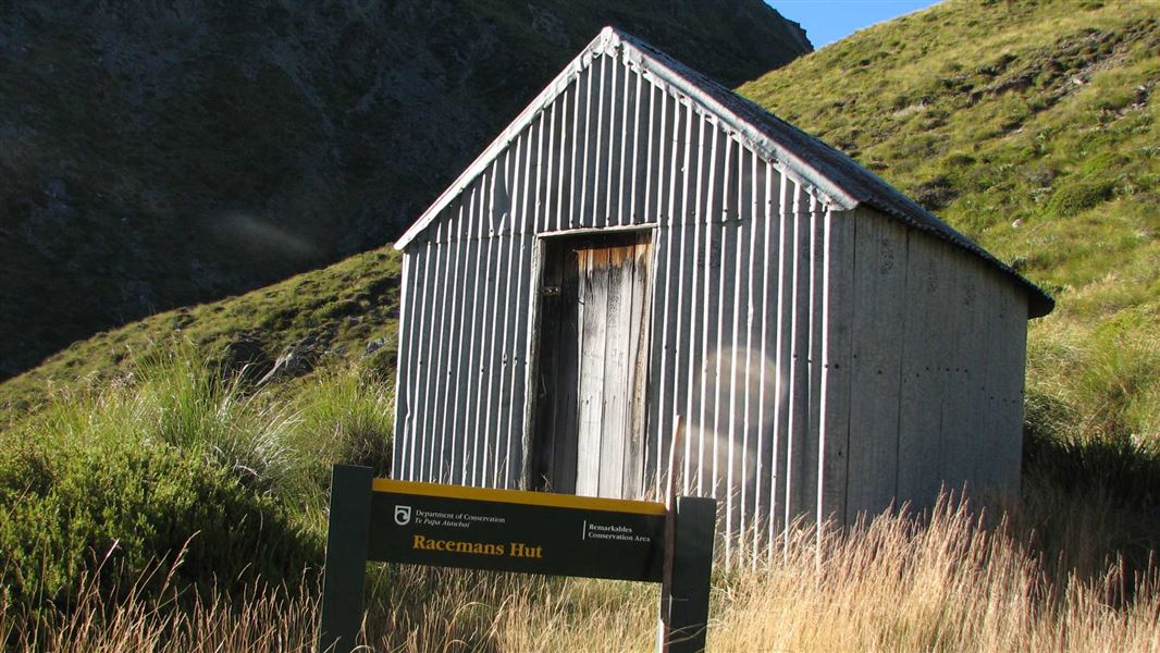
This is an historic 2-bunk hut in the Queenstown area.
Know before you go
Stay safe when crossing rivers and streams
If you plan to cross unbridged rivers or side streams, know how to cross safely and be prepared for if you cannot cross. Do not cross if the river or stream is flooded, you cannot find safe entry and exit points or are unsure it’s safe. Turn back or wait for the river to drop. If in doubt, stay out. How to cross rivers safely NIWA river flow forecasts: View a video of national followed by regional river flows
Source: DOC Te Papa Atawhai.
Fees and bookings
Free
Source: DOC Te Papa Atawhai.
Nearby stops
Kawarau Bridge Freedom Camping Area
Otago • 8.8 km
Kawarau Bridge Freedom Camping Area is a campsite located in the Otago region. The provided data does not list specific facilities or additional details for…
Kawarau Historic Bridge Carparks
Otago • 8.8 km
Kawarau Historic Bridge car park is on Gibbston Highway in Gibbston.
The Jardines
Otago • 8.9 km
The Jardines is a campsite located in the Otago region of New Zealand. No further details are available in the provided records.
Rum Currie's Hut
Otago • 9.9 km
Rum Curries, Rafters Road
Otago • 9.9 km
Rum Curries is by Rafters Road in Gibbston.
Walks nearby
Glenroy Water Race Track
Advanced • 8 hr • 4.3 km away
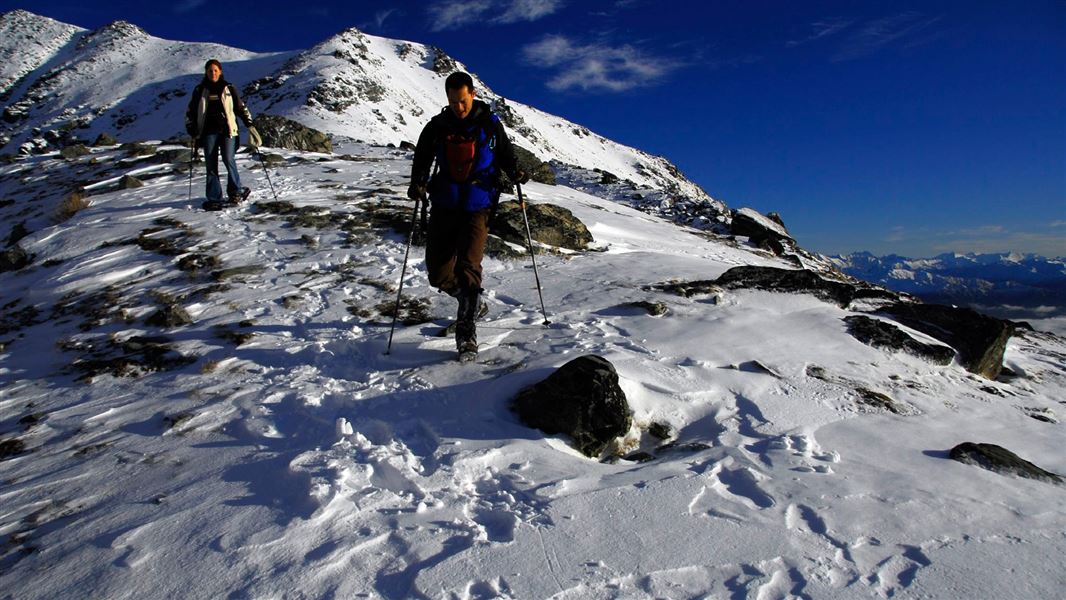
Lake Alta Track
Advanced • 1 hr 30 min • 2.4 km • 5.51 km away
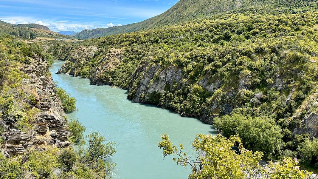
Peregrine Loop Track
Easy • 1 hr return • 2.7 km • 9.72 km away
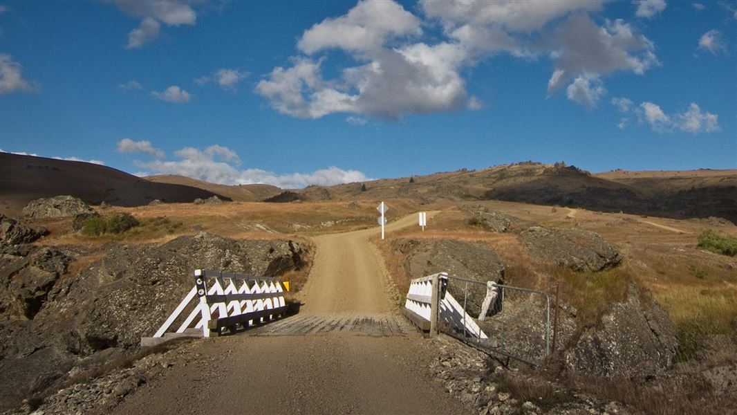
Nevis Valley tracks
Advanced • Various times over 4 hr return • 11.02 km away
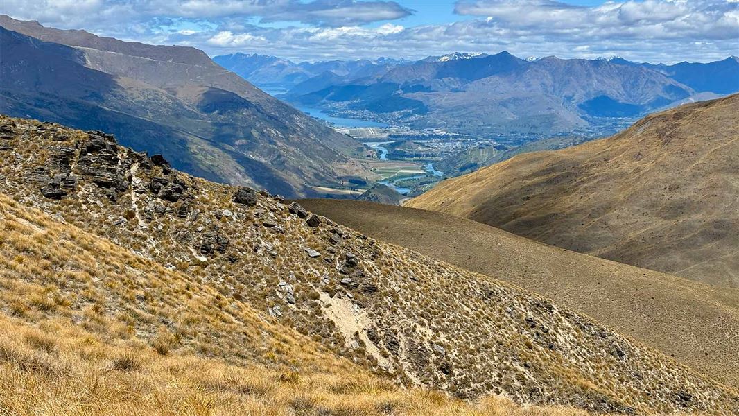
Rock Peak Track
Easy • 1 hr 30 min one way • 12.25 km away
Contact
Whakatipu-wai-Māori/Queenstown Visitor Centre
Regional DOC service centre.
Notes from people who have been
No notes yet. If you have been, say what you found.
Something missing or out of date?
Closed, moved, wrong facts, or something we have missed? Travellers keep the Road Guide up to date. Tell us what you found at contribute@parkup.nz and we will check it and add it.
Ask us to take this down
A person reads every request. We do not remove a place until we have checked it.
Sources
- DOC Huts (API) · CC BY 4.0Crown Copyright: Department of Conservation Te Papa Atawhai. Data sourced from the DOC Developer Portal (api.doc.govt.nz).
- DOC Huts · CC BY 4.0Data sourced from the Department of Conservation (DOC), New Zealand.
- OpenStreetMap Huts · ODbL (Open Database License)Contains information from OpenStreetMap, made available under the ODbL.