Nevis Valley tracks
WalkOtago
- Grade
- Advanced
- Walking time
- 4 hr
- Dogs
- Under control
Access: read before you go
This track crosses private land. There is no camping until the conservation area boundary. Respect the landowner's livestock and property: Stay on the marked track until you reach the conservation land Leave gates as you find them Use stiles where provided Keep your distance from livestock.
You need permission from the Makarora River Ranch to take your dog into Hāwea Conservation Park using Boundary Creek Track. Email makaroraranch@gmail.com at least 24 hours in advance of your visit to request permission. You must provide a valid worming certificate to ensure your dog is free from hydatids and sheep measles.
Source: DOC Te Papa Atawhai.
Getting there
We have not checked a road end or car park for this place yet, so we do not give driving directions to it. Check how to get there before you go. Some routes cross private land and need the landowner's permission.
How to get there, on doc.govt.nzNevis Road can be accessed from Cromwell (northern end) and Garston (southern end):
Source: DOC Te Papa Atawhai.
Map
Map data © OpenStreetMap contributors. Topo map: LINZ, CC BY 4.0. 45.16075° S, 168.96913° E
About this place
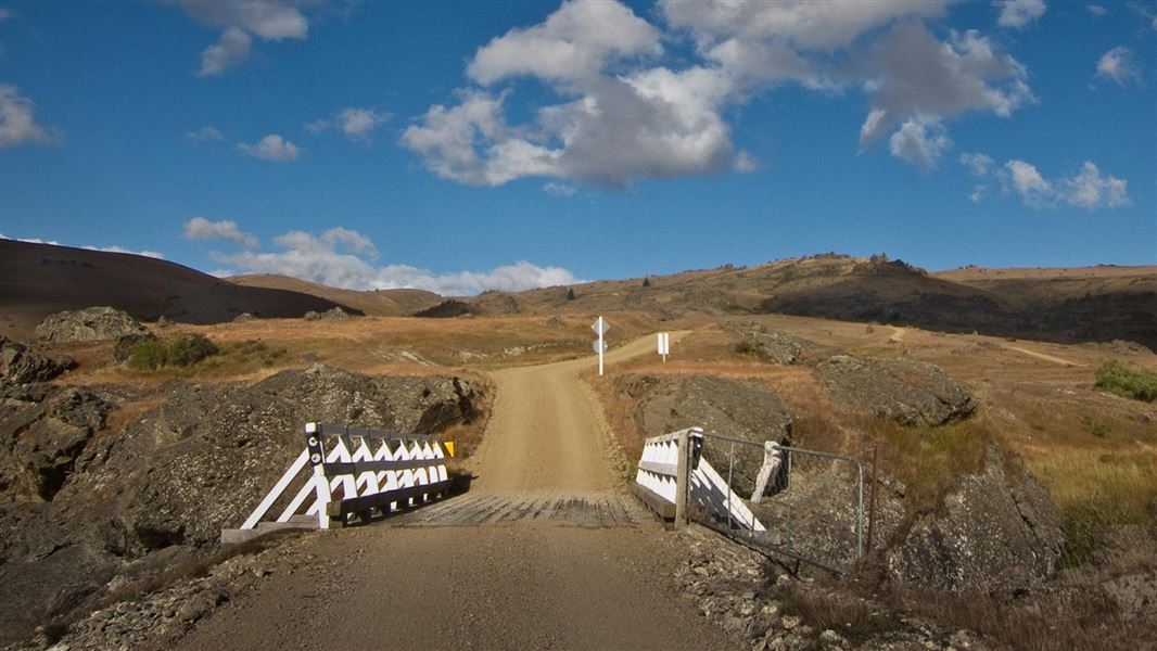
Access the Remarkables Conservation Area on these tracks.
The route
Nevis-Gibbston Track
Time: 2 hr one way
km Other activities: Four wheel driving, Mountain biking, Horse riding Dog access: Dogs on a leash only until inside the conservation area boundary. Beginning from Nevis Crossing on Nevis Road, the track gradually winds its way up rutted sections of farm road until the 993 m Doolans Saddle. From there it descends to its end point at a boundary gate.
Four wheel driving
Doolans Saddle is the furthest drivable point from the Nevis Road (8.5 km). It's rutted in sections and for dry weather only. A narrow section with a steep drop off prior to Doolans Saddle is not for novices or the faint hearted.
River Face Track
Time: 2–2 hr 30 min one way from Nevis Road
km Other activities: Mountain biking Dog access: Dogs on a leash only until inside the conservation area boundary. Branching off the Nevis-Gibbston Track, the River Face Track descends down a moderately steep farm road to the Nevis River. It provides fishing access to the Nevis catchment.
Dark Elliots Track
Time: 2–3 hr one way from Nevis Road
km Other activities: Mountain biking Dog access: Dogs on a leash only until inside the conservation area boundary. Seasonal restrictions: This track is closed annually from 15 October – 30 November for lambing. Follow the Nevis Gibbston Track for 2 km (30–45 minutes) until the track sign on the left. For 5 km the track continues climbing a farm road to the conservation area boundary.
Sunny Elliots Track
Time: 3–4 hr one way from Nevis Road
km Other activities: Mountain biking, Horse riding Dog access: Dogs on a leash only until inside the conservation area boundary. Follow the Nevis Gibbston Track for 8 km (2–2 hours 30 minutes) to a sign that marks the start of the track, 500 m from Doolans Saddle. It's a steady climb to the conservation area boundary.
Ryders Track
Time: 1 hr 30 min – 2 hr one way
4.5 km Dog access: Dogs on a leash only until inside the conservation area boundary. Seasonal restrictions: This track is closed annually from 15 October – 30 November for lambing. From the sign on Nevis Road, the track follows a farm road, climbing steadily to the conservation area boundary.
Scotchmans Creek Track
Time: 1 hr one way from Nevis Road
3.5 km Dog access: No dogs Seasonal restrictions: This track is closed annually from 15 October – 30 November for lambing. Follow the Ryders Track for 2.5 km until the signed start of the Scotchmans Creek Track. This track climbs up onto a small knoll, which is a small independent section of the Remarkables Conservation Area.
Mountain biking
Nevis-Gibbston, River Face, Dark Elliots and Sunny Elliots Tracks can all be mountain biked.
Source: DOC Te Papa Atawhai.
Know before you go
Avalanche risk
This area has terrain that can produce avalanches that cross the track, usually from May into November. View avalanche information .
Private property and permissions
This track crosses private land. There is no camping until the conservation area boundary. Respect the landowner's livestock and property: Stay on the marked track until you reach the conservation land Leave gates as you find them Use stiles where provided Keep your distance from livestock.
Dogs
You need permission from the Makarora River Ranch to take your dog into Hāwea Conservation Park using Boundary Creek Track. Email makaroraranch@gmail.com at least 24 hours in advance of your visit to request permission. You must provide a valid worming certificate to ensure your dog is free from hydatids and sheep measles.
Source: DOC Te Papa Atawhai.
Nearby stops

Old Woman Hut
Standard • 6 bunks • Otago • 9.5 km
Old Woman Hut is a standard six-bunk hut located in the Central Otago region.
Heating • Mattresses • Toilets - non-flush

Racemans Hut
Basic/bivvies • 2 bunks • Otago • 11 km
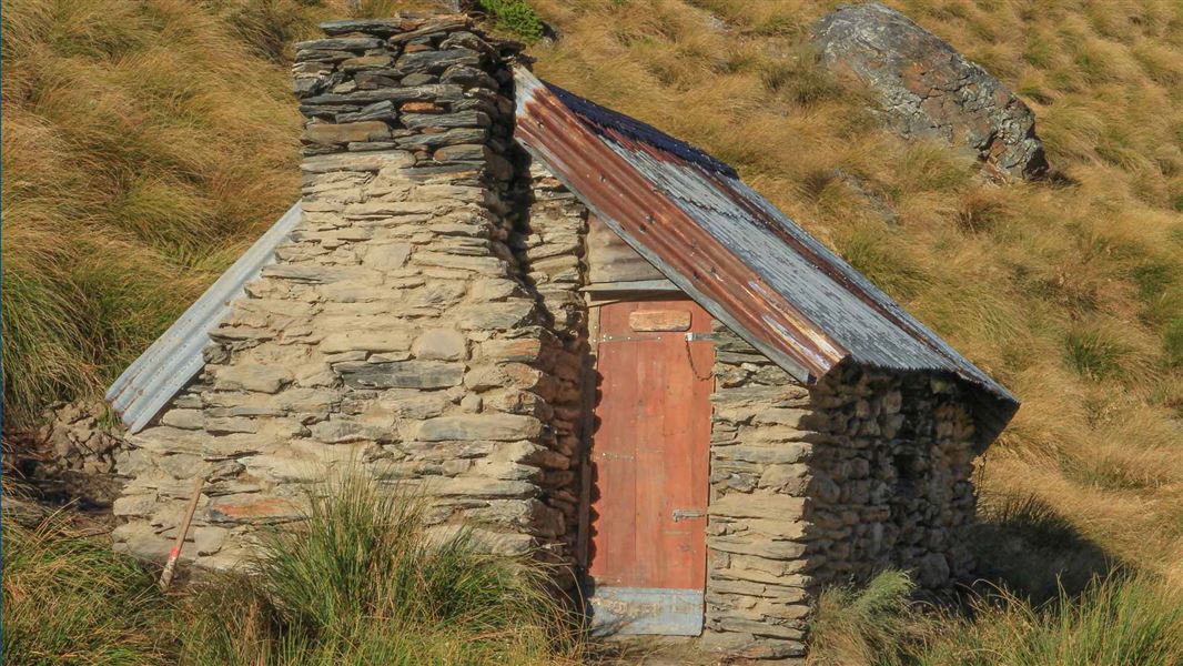
Racemans Hut is an historic two-bunk hut located in the Queenstown area of Otago.
Toilets - non-flush • Water from stream • Water supply
Two Mile Hut
Basic/bivvies • 2 bunks • Otago • 13.1 km
Two Mile Hut is an historic hut located in the Queenstown area of Otago. It features a two-person sleeping platform.
Heating • Mattresses • Water from stream
Bannockburn Domain Camping
Otago • 17 km
Bannockburn Domain Camping is a campsite located in the Otago region. The provided records do not list specific facilities or details for this location.
Whites Hut
Otago • 17.3 km
Whites Hut is a backcountry hut located in the Otago region of New Zealand. The provided records do not include specific details regarding its facilities,…
Walks nearby
Carrick Range access tracks
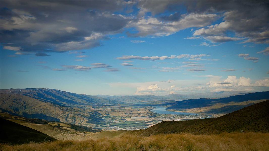
Intermediate • Various up to 5 hr one way • Various up to 12 km one way • 7.3 km away
Slapjack Saddle Track
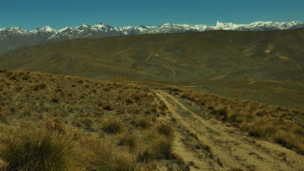
Easy • 6 hr one way • 24.5 km one way • 9.82 km away
Glenroy Water Race Track
Advanced • 8 hr • 11.07 km away
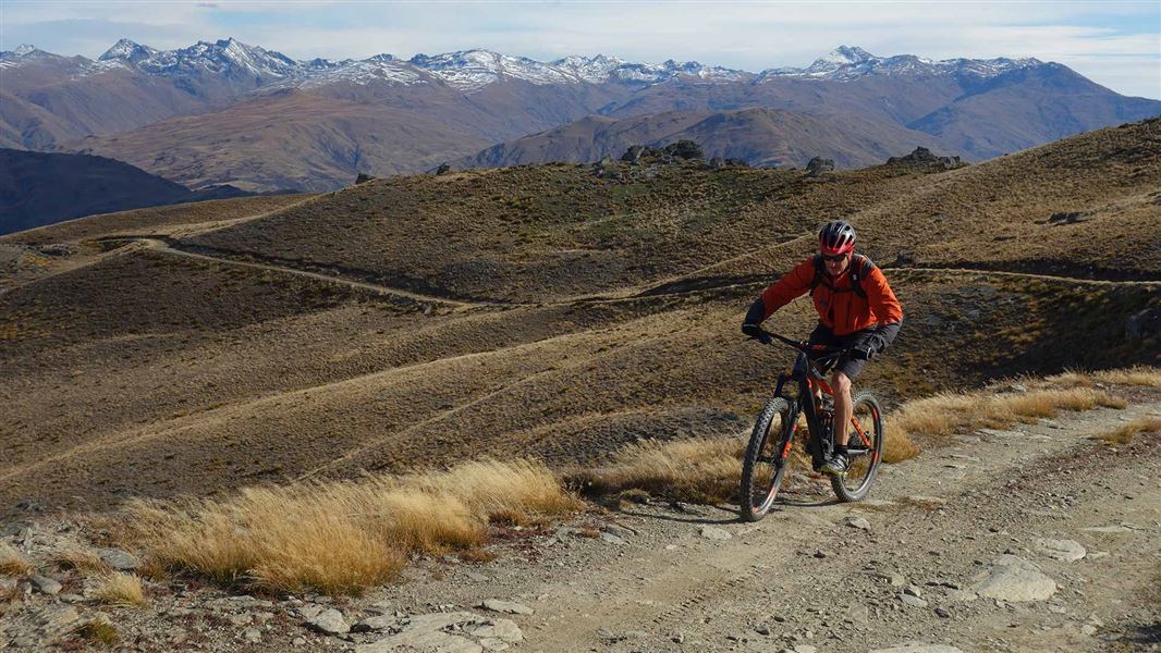
Mt Difficulty tracks
Advanced • 1 day • 30 km | 33 km | 38 km • 12.97 km away
Notes from people who have been
No notes yet. If you have been, say what you found.
Something missing or out of date?
Closed, moved, wrong facts, or something we have missed? Travellers keep the Road Guide up to date. Tell us what you found at contribute@parkup.nz and we will check it and add it.
Ask us to take this down
A person reads every request. We do not remove a place until we have checked it.
Sources
- DOC Tracks (API) · CC BY 4.0Crown Copyright: Department of Conservation Te Papa Atawhai. Data sourced from the DOC Developer Portal (api.doc.govt.nz).