Mt Difficulty tracks
WalkOtago
- Grade
- Advanced
- Walking time
- 1 day
- Distance
- 30 km, 33 km, 38 km
- Dogs
- No dogs
Getting there
We have not checked a road end or car park for this place yet, so we do not give driving directions to it. Check how to get there before you go. Some routes cross private land and need the landowner's permission.
How to get there, on doc.govt.nzThe loop option starts from Felton Road, 8 km south-west of Cromwell.
The one-way and return options start from Young Australian Historic Reserve Road, off Nevis Road, about 60 km from Garston.
Source: DOC Te Papa Atawhai.
Map
Map data © OpenStreetMap contributors. Topo map: LINZ, CC BY 4.0. 45.08359° S, 169.09304° E
About this place
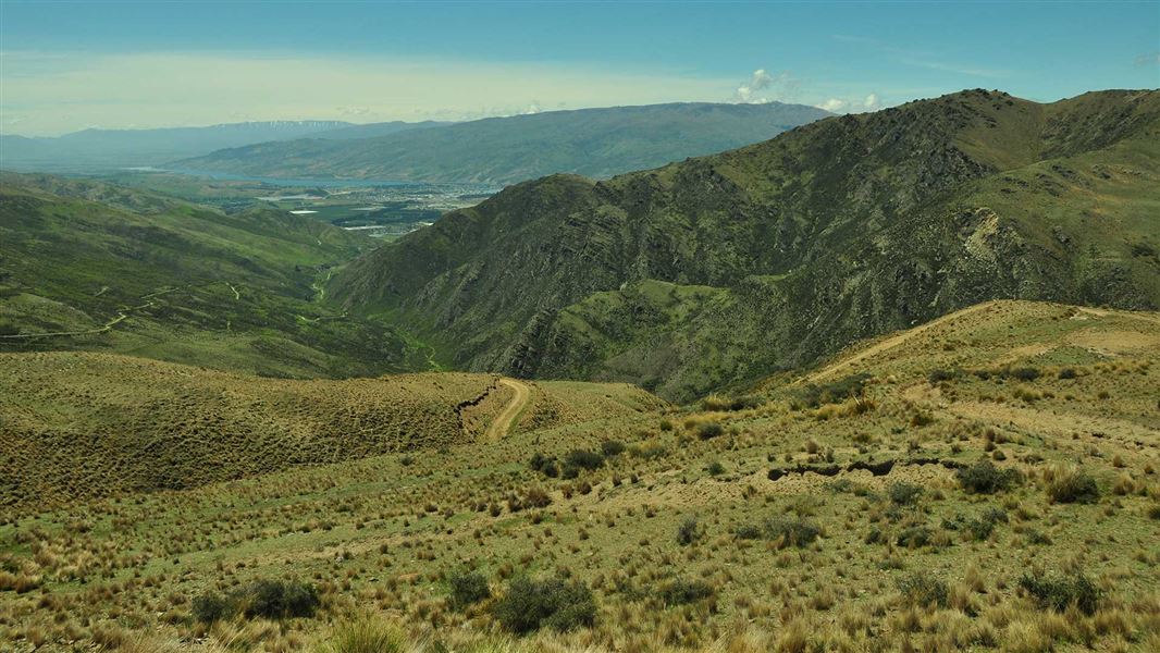
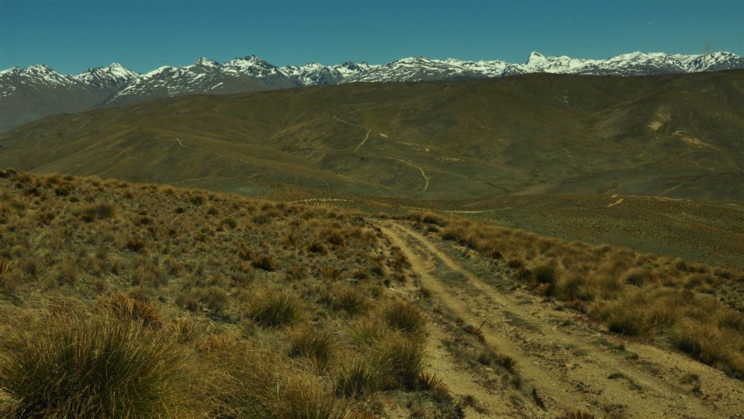
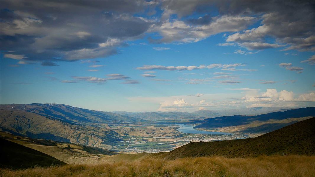
Enjoy fantastic views of Gibbston Valley and Cromwell basin along the way, and out to the Doolan mountains from the top.
The route
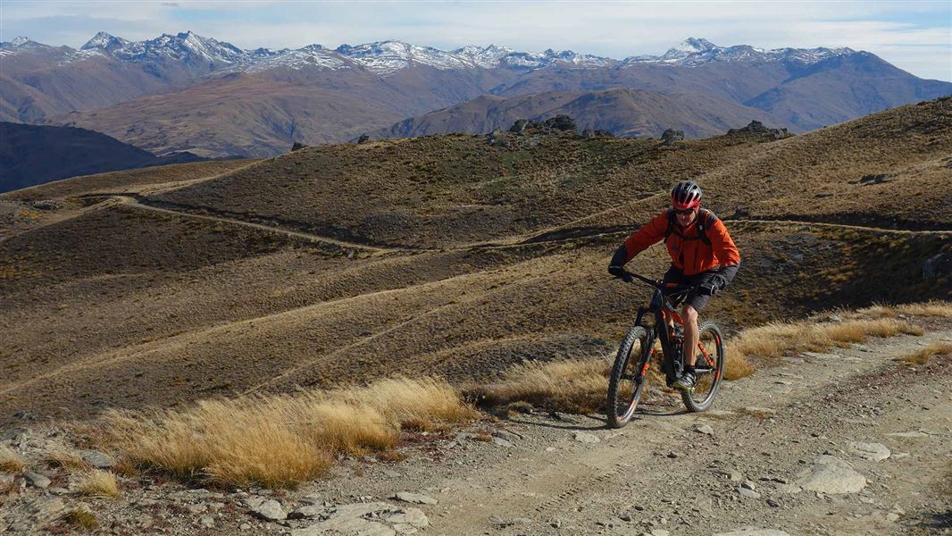
The Mt Difficulty Track (16 km, 4 hr) branches off the Slapjack Saddle Track. It's a steep track that follows a mostly rough grassy 4WD track. Good route finding and map reading is required.
Loop option
km From Felton Road car park, follow Bannockburn Sluicings Track , Long Gully Loop Track, up Slapjack Saddle Track to Slapjack Saddle. From the saddle, follow Mt Difficulty Track clockwise and return to Felton Road car park. Note, this option isn't possible from 1 October to 30 November when the Long Gully Loop Track is closed for lambing.
One-way option
km From Young Australian Historic Reserve Road, follow Slapjack Saddle Track to the Slapjack Saddle. From the saddle, follow Mt Difficulty Track until it rejoins the Slapjack Saddle Track. Continue on to the Felton Road car park on the Long Gully Loop Track and Bannockburn Sluicings Track . Note, this option isn't possible from 1 October to 30 November when the Long Gully Loop Track is closed for lambing.
Return option
km From Young Australian Historic Reserve Road, follow Slapjack Saddle Track to the Slapjack Saddle. From the saddle, follow Mt Difficulty Track to Mt Difficulty. Return via the same track. Note, this is the only option when the Long Gully Loop Track is closed for lambing from 1 October to 30 November.
Mountain biking
It's recommended to ride clockwise from Slapjack Saddle.
Source: DOC Te Papa Atawhai.
Nearby stops
Bannockburn Domain Camping
Otago • 5.2 km
Bannockburn Domain Camping is a campsite located in the Otago region. The provided records do not list specific facilities or details for this location.
Cairnmuir Motor Camp
Otago • 6.8 km
Jackson Orchard
Otago • 10.3 km
Cairnmuir Musterer's Hut
Otago • 12 km
Cairnmuir Musterer's Hut is a restored private hut located in the Otago region. As a private facility, it is not a public DOC hut and access is restricted to…
Rum Currie's Hut
Otago • 12.5 km
Walks nearby
Long Gully Loop Track
Advanced • 3-4 hr • 11 km • 2.87 km away
Slapjack Saddle Track
Easy • 6 hr one way • 24.5 km one way • 3.17 km away
Carrick Range access tracks
Intermediate • Various up to 5 hr one way • Various up to 12 km one way • 6.45 km away
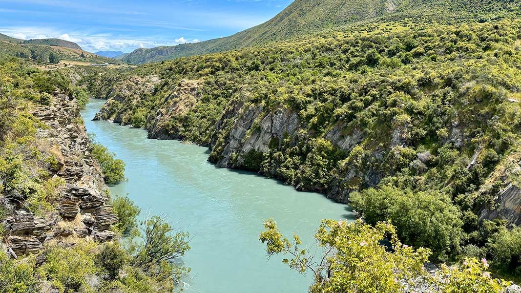
Peregrine Loop Track
Easy • 1 hr return • 2.7 km • 12.85 km away
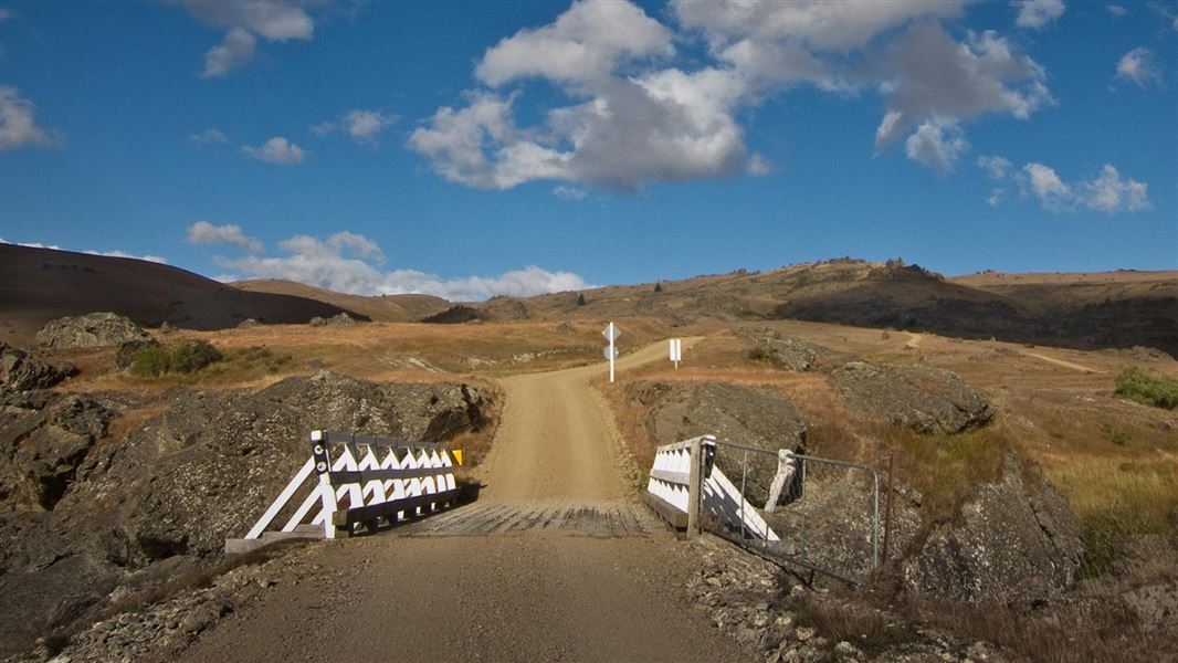
Nevis Valley tracks
Advanced • Various times over 4 hr return • 12.97 km away
Notes from people who have been
No notes yet. If you have been, say what you found.
Something missing or out of date?
Closed, moved, wrong facts, or something we have missed? Travellers keep the Road Guide up to date. Tell us what you found at contribute@parkup.nz and we will check it and add it.
Ask us to take this down
A person reads every request. We do not remove a place until we have checked it.
Sources
- DOC Tracks (API) · CC BY 4.0Crown Copyright: Department of Conservation Te Papa Atawhai. Data sourced from the DOC Developer Portal (api.doc.govt.nz).