Long Gully Loop Track
WalkOtagoOpen
- Grade
- Advanced
- Walking time
- 4 hr
- Distance
- 11 km
- Route
- One way
- Dogs
- No dogs
Getting there
We have not checked a road end or car park for this place yet, so we do not give driving directions to it. Check how to get there before you go. Some routes cross private land and need the landowner's permission.
How to get there, on doc.govt.nzFrom Felton Road, walk up the Bannockburn Sluicing Track for 2 km and turn off to Long Gully Loop Track at Stewart Town.
Source: DOC Te Papa Atawhai.
Map
Map data © OpenStreetMap contributors. Topo map: LINZ, CC BY 4.0. 45.08374° S, 169.12963° E
About this place
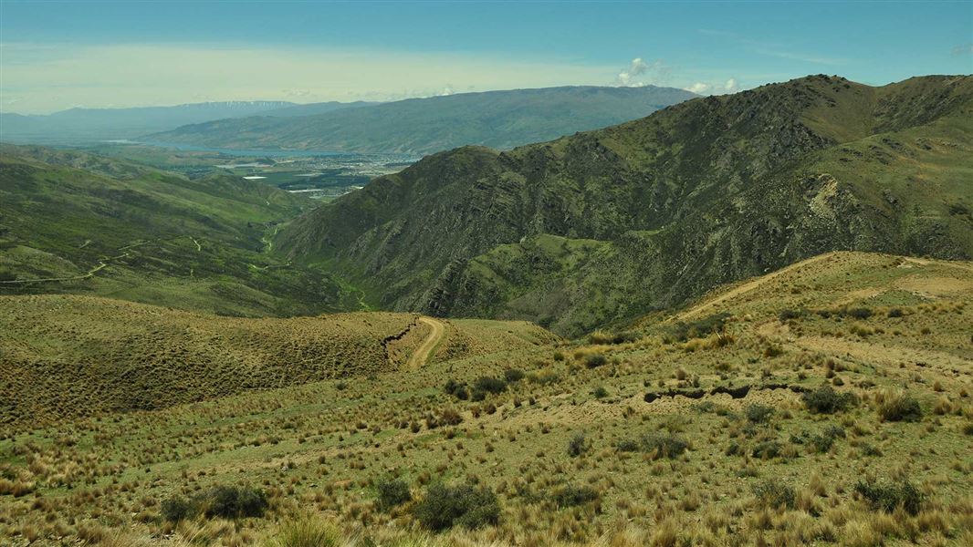
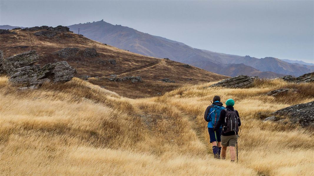
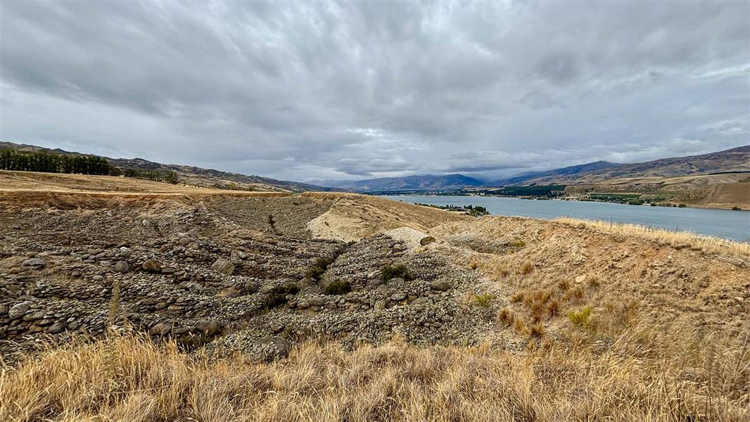
Weave your way through dramatic rock bluffs to the Long Gully Bluffs Conservation Area to get fantastic views of Lake Dunstan and the St Bathans Range - it's a steep but rewarding climb.
The route
The length and distance of the track includes the Bannockburn Sluicings Track. The beginning of the Long Gully Loop Track goes through the ruins of Stewart Town, an old mining village. The track takes you through farmland up to dramatic rock bluffs. The eastern part of the loop is on a formed 4WD track. As you climb the dramatic views of the Lake Dunstan and the St Bathans Range unfolds. The track cuts through the northern corner of the conservation area where grey shrubland and kowhai nestles among the dramatic rock bluffs. The track climbs to a height of 450 m and is steep and rocky in places. Long Gully Loop track also provides access to Slapjack Saddle Track and Mt Difficulty Track .
Source: DOC Te Papa Atawhai.
Nearby stops
Bannockburn Domain Camping
Otago • 2.4 km
Bannockburn Domain Camping is a campsite located in the Otago region. The provided records do not list specific facilities or details for this location.
Cairnmuir Motor Camp
Otago • 3.9 km
Jackson Orchard
Otago • 8.2 km
Cairnmuir Musterer's Hut
Otago • 9.2 km
Cairnmuir Musterer's Hut is a restored private hut located in the Otago region. As a private facility, it is not a public DOC hut and access is restricted to…
Deep Creek Hut
Otago • 14.1 km
Deep Creek Hut is a backcountry hut located in the Otago region of New Zealand. It provides basic shelter for hikers and tramping parties exploring the…
Walks nearby
Mt Difficulty tracks
Advanced • 1 day • 30 km | 33 km | 38 km • 2.87 km away
Slapjack Saddle Track
Easy • 6 hr one way • 24.5 km one way • 5.74 km away
Carrick Range access tracks
Intermediate • Various up to 5 hr one way • Various up to 12 km one way • 8.18 km away
Cairnmuir Hill Track
Advanced • 6–8 hr one way • 21 km • 10.67 km away
Quartz Reef Point Walk
Easy • 30 min • 13.18 km away
Notes from people who have been
No notes yet. If you have been, say what you found.
Something missing or out of date?
Closed, moved, wrong facts, or something we have missed? Travellers keep the Road Guide up to date. Tell us what you found at contribute@parkup.nz and we will check it and add it.
Ask us to take this down
A person reads every request. We do not remove a place until we have checked it.
Sources
- DOC Tracks & Trails · CC BY 4.0Data sourced from the Department of Conservation (DOC), New Zealand.
- DOC Tracks (API) · CC BY 4.0Crown Copyright: Department of Conservation Te Papa Atawhai. Data sourced from the DOC Developer Portal (api.doc.govt.nz).