Quartz Reef Point Walk
WalkOtago
- Grade
- Easy
- Walking time
- 30 min
- Dogs
- No dogs
Getting there
We have not checked a road end or car park for this place yet, so we do not give driving directions to it. Check how to get there before you go. Some routes cross private land and need the landowner's permission.
How to get there, on doc.govt.nzThe Quartz Reef Point carpark is beside the Cromwell-Lindis Pass Highway, by Lake Dunstan, between Cromwell and Tarras.
Source: DOC Te Papa Atawhai.
Map
Map data © OpenStreetMap contributors. Topo map: LINZ, CC BY 4.0. 44.99508° S, 169.24093° E
About this place
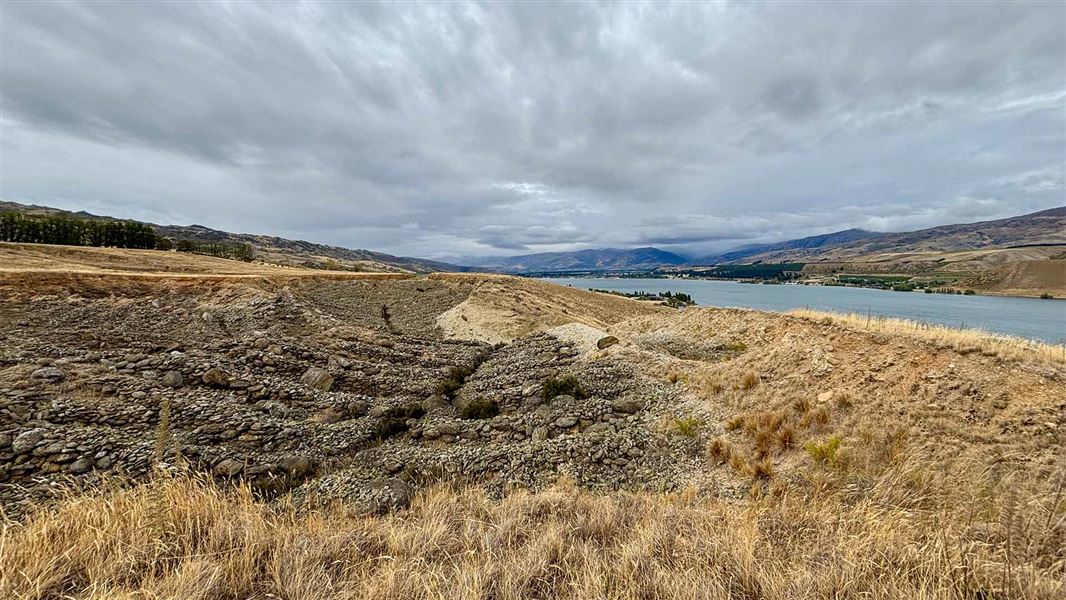
Take a short walk to Quartz Reef Point, the best preserved example of herring bone tailings in the country.
The route
From the carpark, cross the road and and follow the marker poles to the right. This is through private property. At the top of the rise there's a gate into the historic reserve and the track leads to a viewing platform. From here there are views of the tailings and over to Lake Dunstan, Cromwell and the Pisa Range These virtually pristine remains are the result of ground sluicing; channelling water to the head of a claim and flooding the working face. Larger stones and rocks were removed and stacked, row after row in a herring bone pattern. The washed material was then directed or shovelled to a sluice channel to separate the gold from the gravel. For your own safety and the preservation of this remarkable site, do not attempt to walk on the stacked stone tailings.
Source: DOC Te Papa Atawhai.
Nearby stops
Jackson Orchard
Otago • 5 km
Deep Creek Hut
Otago • 10.4 km
Deep Creek Hut is a backcountry hut located in the Otago region of New Zealand. It provides basic shelter for hikers and tramping parties exploring the…
Cairnmuir Motor Camp
Otago • 11 km
Bannockburn Domain Camping
Otago • 12 km
Bannockburn Domain Camping is a campsite located in the Otago region. The provided records do not list specific facilities or details for this location.
Cairnmuir Musterer's Hut
Otago • 12.8 km
Cairnmuir Musterer's Hut is a restored private hut located in the Otago region. As a private facility, it is not a public DOC hut and access is restricted to…
Walks nearby
Devils Creek Track
Advanced • 4-6 hr return • 13 km • 3.59 km away
Kānuka Track
Advanced • 5 hr • 10 km • 10.23 km away
Tinwald Burn Ridge Track
Intermediate • 8 hr return • 20.36 km • 11.35 km away
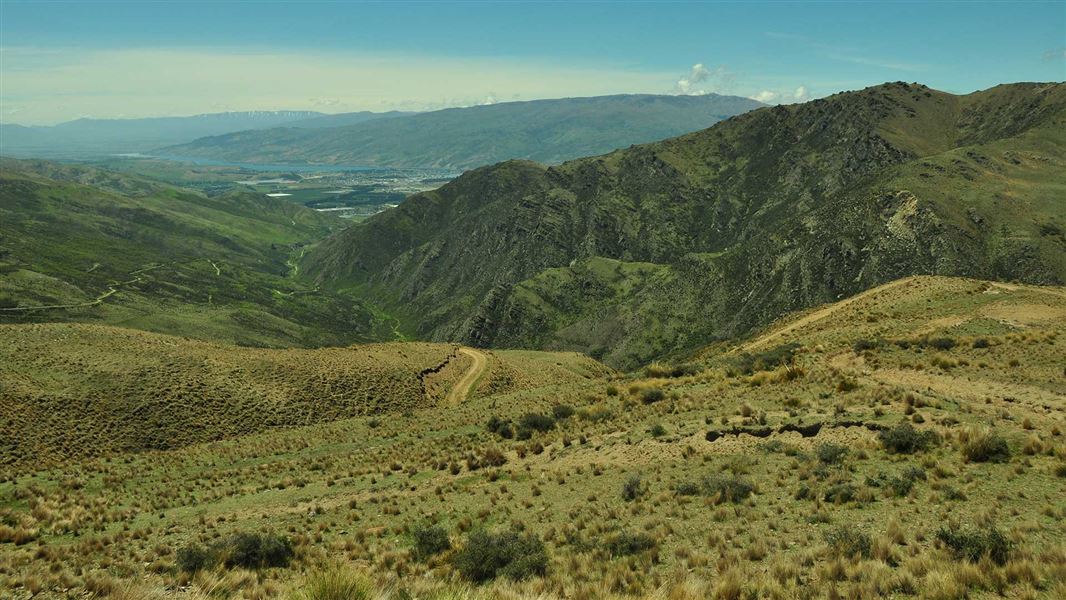
Long Gully Loop Track
Advanced • 3-4 hr • 11 km • 13.18 km away
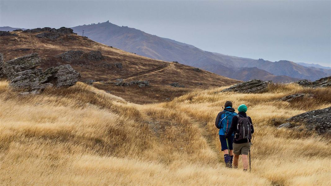
Cairnmuir Hill Track
Advanced • 6–8 hr one way • 21 km • 13.54 km away
Notes from people who have been
No notes yet. If you have been, say what you found.
Something missing or out of date?
Closed, moved, wrong facts, or something we have missed? Travellers keep the Road Guide up to date. Tell us what you found at contribute@parkup.nz and we will check it and add it.
Ask us to take this down
A person reads every request. We do not remove a place until we have checked it.
Sources
- DOC Tracks (API) · CC BY 4.0Crown Copyright: Department of Conservation Te Papa Atawhai. Data sourced from the DOC Developer Portal (api.doc.govt.nz).