Kānuka Track
WalkOtago
- Grade
- Advanced
- Walking time
- 5 hr
- Distance
- 10 km
- Dogs
- On a lead
Getting there
We have not checked a road end or car park for this place yet, so we do not give driving directions to it. Check how to get there before you go. Some routes cross private land and need the landowner's permission.
How to get there, on doc.govt.nzThe main entrance to Bendigo is off SH8 at Crippletown, just north of Lake Dunstan and the Rocky Point picnic and boat ramp area.
Here, Loop Road goes up the hill and passes through the old Bendigo Township, past the schoolhouse ruins at Schoolhouse Flat to the main historic sites of Logantown, Welshtown and the mining remnants scattered throughout.
The track starts 200 m from the entry to the historic reserve and parking is recommended some 200 m up the road at the Logantown site.
Source: DOC Te Papa Atawhai.
Map
Map data © OpenStreetMap contributors. Topo map: LINZ, CC BY 4.0. 44.94165° S, 169.34683° E
About this place
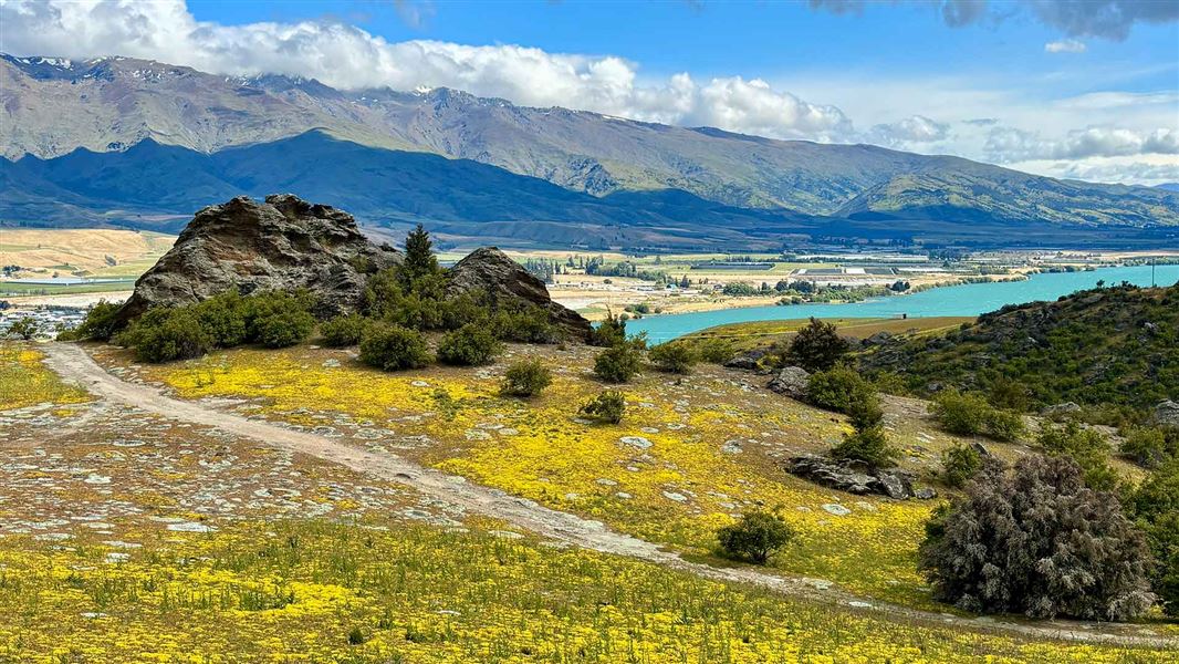
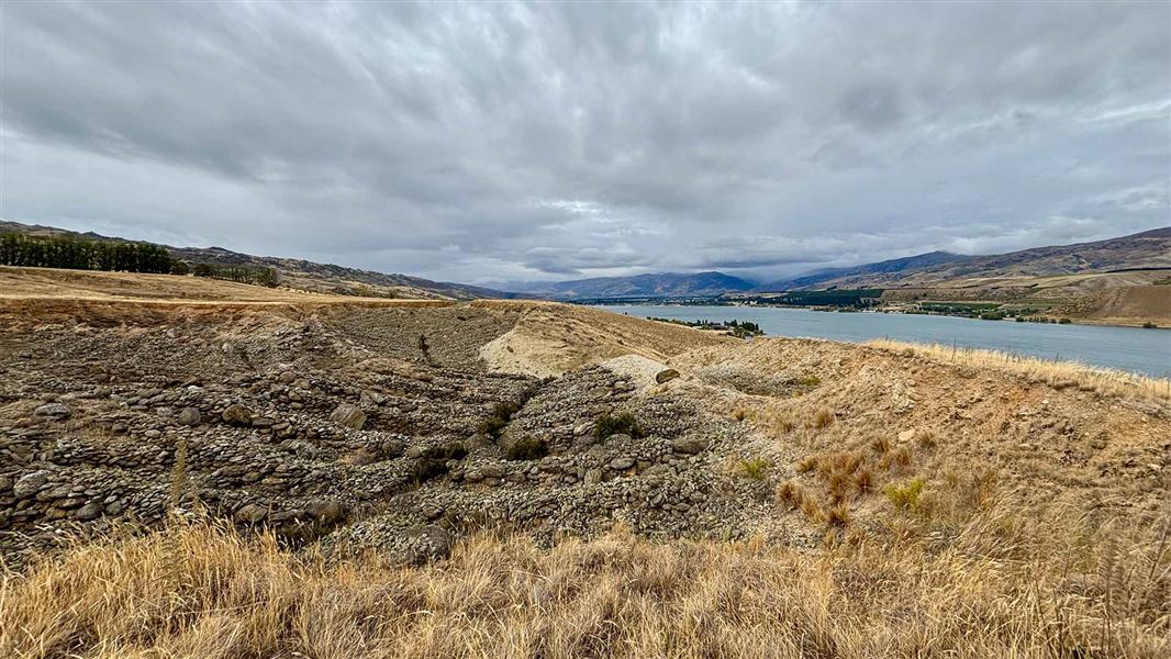
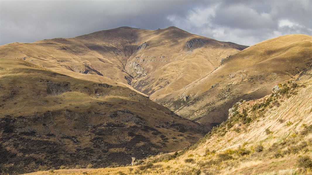
This 10 km return loop offers views of Lake Dunstan and the Upper Clutha Valley as it weaves its way through regenerated kānuka shrublands and impressive rocky cliffs.
The route
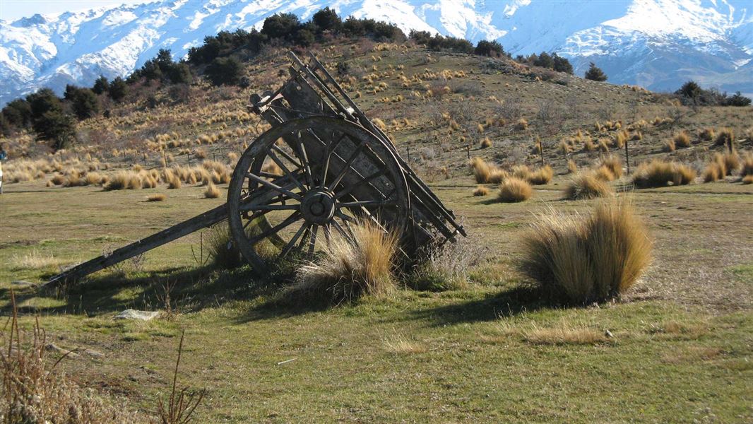
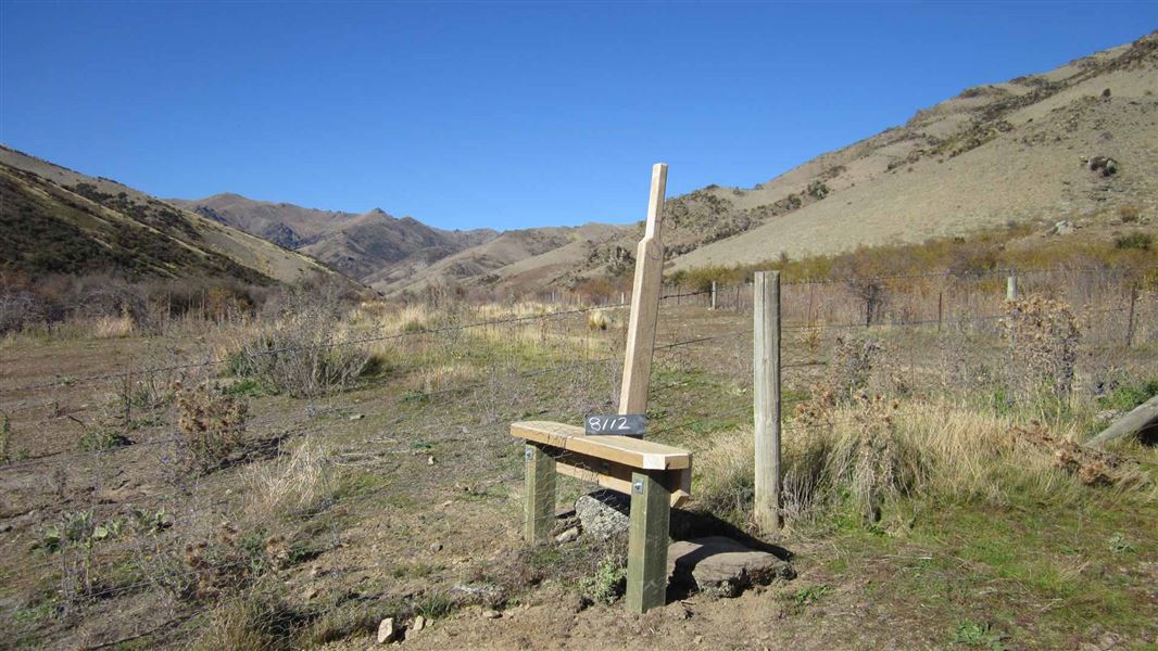
The track starts 200 m from the entry to the historic reserve and parking is recommended some 200 m up the road at the Logantown site. The track’s first 100 m or so is shared with the shorter Matilda Battery Track and then branches off to the right at the crest of Spec Gully. After traversing some open country and a stile the track winds (clockwise) through the Kānuka Scenic Reserve in the Chinamans Creek catchment. The track climbs into a typical Lower Dunstan Mountains landscape to pass through re-generated kānuka forest and impressive rocky crags with magnificent views over Lake Dunstan and the Upper Clutha Valley. It then runs around the back of Chinamans Creek’s gully before traversing a ridge and following the front ridge line that faces the Upper Clutha Valley. Deep in Chinamans Creek, where the track crosses back, there’s a biv for shelter near stone hut ruins, along with several relics of earlier years.
Shorter loop
There’s also a shorter loop walk that takes between one and one-and-a-half hours. Follow the Kānuka Track, as above, but instead of crossing Burma Road – the only one you'll come to – follow it down to the gate and turn right to come back along the marked fence line and back to the stile.
Source: DOC Te Papa Atawhai.
Nearby stops
Old stone hut
Otago • 11.1 km
Old stone hut is a basic shelter located in the Otago region. It is a simple structure suitable for overnight stays in the backcountry.
Jackson Orchard
Otago • 15.1 km
Robrosa Hut
Otago • 15.6 km
Robrosa Hut is a backcountry hut located in the Otago region of New Zealand. The provided records do not include specific details regarding its facilities,…
Kirtle Burn Hut
Standard • 7 bunks • Otago • 16.6 km
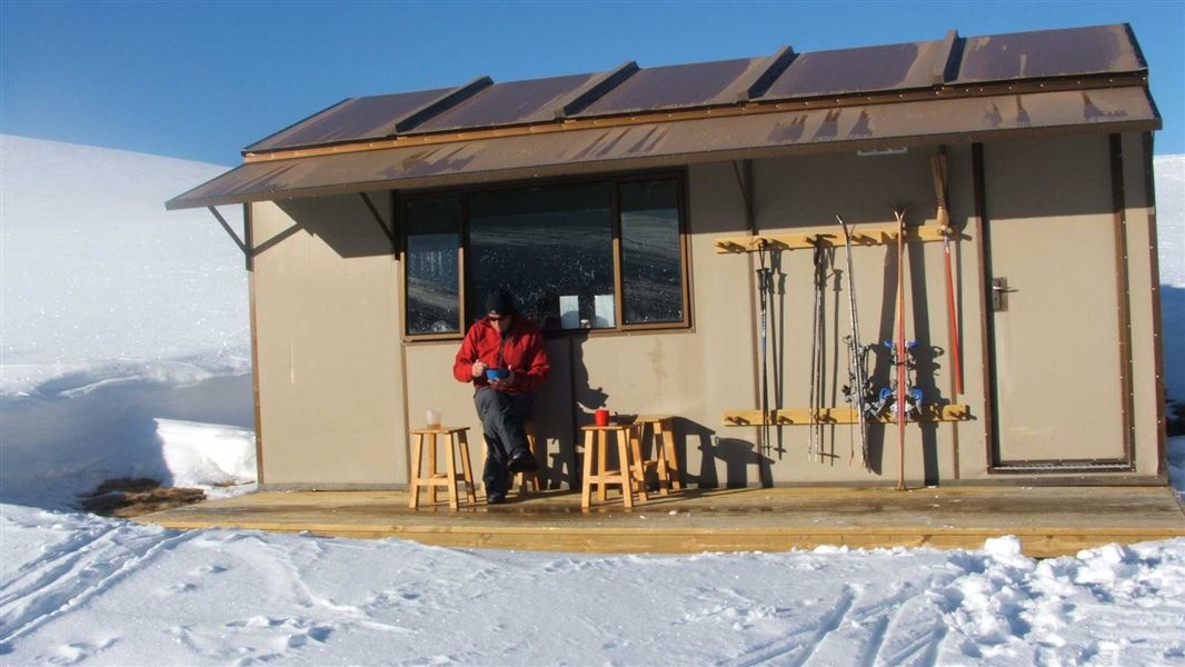
Kirtle Burn Hut is a standard seven-bunk hut located in the Wanaka/Makarora area of Otago.
Mattresses • Toilets - non-flush • Water from stream
Walks nearby
Notes from people who have been
No notes yet. If you have been, say what you found.
Something missing or out of date?
Closed, moved, wrong facts, or something we have missed? Travellers keep the Road Guide up to date. Tell us what you found at contribute@parkup.nz and we will check it and add it.
Ask us to take this down
A person reads every request. We do not remove a place until we have checked it.
Sources
- DOC Tracks (API) · CC BY 4.0Crown Copyright: Department of Conservation Te Papa Atawhai. Data sourced from the DOC Developer Portal (api.doc.govt.nz).