Kirtle Burn Hut
Standard hutPisa Conservation Area, OtagoOpen
- Sleeps
- 7 bunks
- Booking
- Can book
- Cost
- from $15
- Heating
- None
- Drinking water
- Not drinkable
- Toilet
- Non-flush
Getting there
We have not checked a road end or car park for this place yet, so we do not give driving directions to it. Check how to get there before you go. Some routes cross private land and need the landowner's permission.
How to get there, on doc.govt.nz- Topo map
- Topo50 sheet CB12
- Grid reference
- E1296723, N5024205
Source: DOC Te Papa Atawhai.
Map and tracks
Track lines: DOC Te Papa Atawhai. Map data © OpenStreetMap contributors. Topo map: LINZ, CC BY 4.0. 44.87102° S, 169.16067° E
About this place
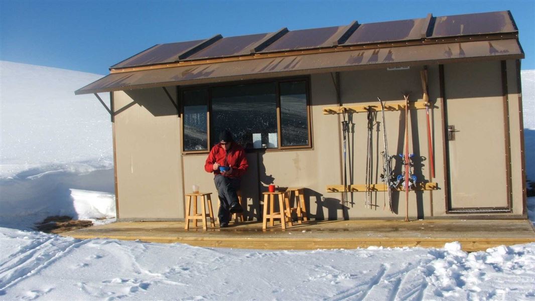
This is a standard seven-bunk hut in the Wanaka/Makarora area.
On the way here
Kirtle Burn Track · 6 hr return
Kirtle Burn Track starts at the western end of the Pisa Conservation Area. Access from Paddys Ridge Road/Waiorau Nordic Road is through Snow Farm or Southern Hemisphere Proving Grounds (see Getting there.) The upper loop of the track starts with a steep zig-zag track, gaining a ridge line that can be followed most of the way to Mt Pisa. A turn-off from the track drops down to Kirtle Burn Hut. From the hut, the lower trail following the Roaring Meg/Kirtle Burn can be used to finish the loop, returning to the Pisa Conservation Area boundary. The lower part of the loop along the river crosses the stream twice – take care if coming downhill by mountain bike, or in snow conditions which may conceal the streams. This track can also be used to link with the Pisa Range Ridge Track and to access Mt Pisa.
Source: DOC Te Papa Atawhai.
Fees and bookings
Backcountry Hut Passes can be used at this hut. About hut tickets and passes Retailers that sell hut tickets and passes
Bookings open on Thursday the 10 July 2025 for stays from the 11 July 2025 to the 30 June 2026. All bookings are first-come first-served. We do not have waiting lists for bookings for future seasons or facilities that are already booked-out. Book Kirtle Burn Hut online .
Source: DOC Te Papa Atawhai.
Nearby stops
Robrosa Hut
Otago • 2.7 km
Robrosa Hut is a backcountry hut located in the Otago region of New Zealand. The provided records do not include specific details regarding its facilities,…
Meadow Hut
Otago • 3.5 km
Musterers Hut
Otago • 3.6 km
Musterers Hut is a backcountry hut located in the Otago region of New Zealand. The provided data does not include specific details regarding its facilities,…
Bob Lee Hut
Otago • 3.9 km
Bob Lee Hut is a backcountry hut located in the Otago region of New Zealand. The provided records do not include specific details regarding its facilities or…
Daisy Lee Hut
Otago • 3.9 km
Walks nearby
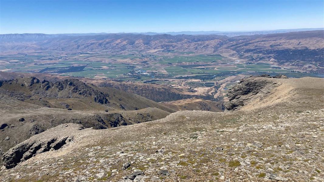
Pisa Range Ridge Track
Intermediate • 10 hr one way • 29.24 km • 3.82 km away
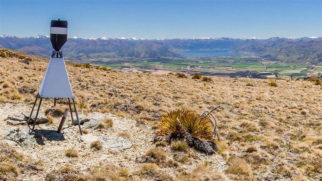
Pt 1,444 Trig
Advanced • 5-6 hr return • 15 km • 3.82 km away
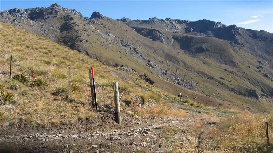
Tinwald Burn Ridge Track
Intermediate • 8 hr return • 20.36 km • 4.9 km away
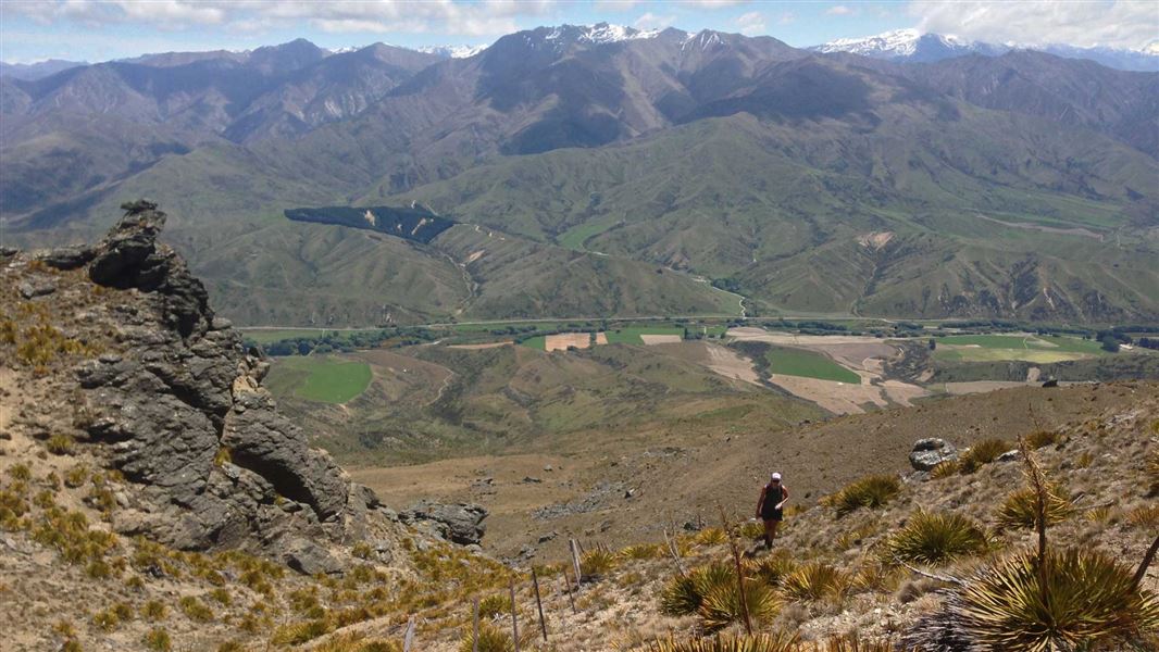
Little Criffel Track
Advanced • 6–8 hr one way • 19 km • 9.29 km away
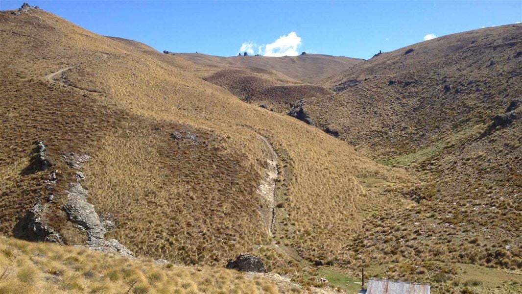
Cardrona-Cromwell Pack Track
Advanced • 9–12 hr one way • 25 km • 9.42 km away
Contact
Wānaka Tititea/Mount Aspiring National Park
Regional DOC service centre.
Notes from people who have been
No notes yet. If you have been, say what you found.
Something missing or out of date?
Closed, moved, wrong facts, or something we have missed? Travellers keep the Road Guide up to date. Tell us what you found at contribute@parkup.nz and we will check it and add it.
Ask us to take this down
A person reads every request. We do not remove a place until we have checked it.
Sources
- OpenStreetMap Huts · ODbL (Open Database License)Contains information from OpenStreetMap, made available under the ODbL.
- DOC Huts (API) · CC BY 4.0Crown Copyright: Department of Conservation Te Papa Atawhai. Data sourced from the DOC Developer Portal (api.doc.govt.nz).
- DOC Huts · CC BY 4.0Data sourced from the Department of Conservation (DOC), New Zealand.