Pt 1,444 Trig
WalkOtago
- Grade
- Advanced
- Walking time
- 6 hr
- Distance
- 15 km
- Dogs
- No dogs
Access: read before you go
Firearms are not permitted on easements through private property including transportation in vehicles. Entry with a firearm is only allowed via Rock Peak Track .
Dogs are allowed in the Pisa Conservation Area, but entry and exit is restricted to the Rock Peak Track. All other entry points are via easements through private property and require landowner permission to enter with a dog including transporting them in vehicles.
This track crosses private land. Respect the landowner's livestock and property: stay on the marked track until you reach the conservation land, leave gates as you find them and use stiles where provided. Livestock can be unpredictable – keep your distance at all times or go around if necessary. No camping until the conservation area boundary.
Source: DOC Te Papa Atawhai.
Getting there
We have not checked a road end or car park for this place yet, so we do not give driving directions to it. Check how to get there before you go. Some routes cross private land and need the landowner's permission.
How to get there, on doc.govt.nzDrive 20 km south of Wānaka along SH6. Turn right into Pukekowhai Drive and drive up to the T junction at the top. Turn left into Wailana Heights Drive until you reach Queensberry car park on your right.
Source: DOC Te Papa Atawhai.
Map
Map data © OpenStreetMap contributors. Topo map: LINZ, CC BY 4.0. 44.85891° S, 169.20597° E
About this place
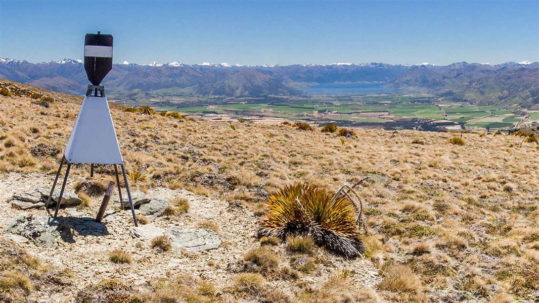
A day walk from Queensberry with spectacular views of the Upper Clutha basin.
The route
Start at Queensberry car park and climb the Pisa Range Ridge Track. This is a steady climb through farmland, up past the Alfern Conservation Area and its small remnant grove of kānuka and Hall’s tōtara. Climb over the stile into the Pisa Conservation Area and follow the farm track towards the trig at 1,444 m altitude. Take in the panoramic view over the Upper Clutha basin from Lake Hāwea to the southern end of Grandview Ridge. Return the same way.
Source: DOC Te Papa Atawhai.
Know before you go
Weather
In summer, very hot and dry conditions are common. Carrying an adequate supply of both drinking water and sun protection is essential. In winter, mountaineering experience is required along with knowledge of avalanche conditions. Adverse weather: The weather can change rapidly in New Zealand. Hypothermia is a real risk even in summer. Be prepared by having warm, waterproof, windproof clothing and the appropriate footwear. Whiteout conditions caused by snow or low cloud may be present. Check the Roys Peak weather forecast – NIWA website . Be avalanche alert: This area has terrain that can produce avalanches that cross the track, usually from May into November. View avalanche information .
Firearms
Firearms are not permitted on easements through private property including transportation in vehicles. Entry with a firearm is only allowed via Rock Peak Track .
Dog access
Dogs are allowed in the Pisa Conservation Area, but entry and exit is restricted to the Rock Peak Track. All other entry points are via easements through private property and require landowner permission to enter with a dog including transporting them in vehicles.
Private property
This track crosses private land. Respect the landowner's livestock and property: stay on the marked track until you reach the conservation land, leave gates as you find them and use stiles where provided. Livestock can be unpredictable – keep your distance at all times or go around if necessary. No camping until the conservation area boundary.
Source: DOC Te Papa Atawhai.
Nearby stops
Robrosa Hut
Otago • 1.4 km
Robrosa Hut is a backcountry hut located in the Otago region of New Zealand. The provided records do not include specific details regarding its facilities,…
Kirtle Burn Hut
Standard • 7 bunks • Otago • 3.8 km
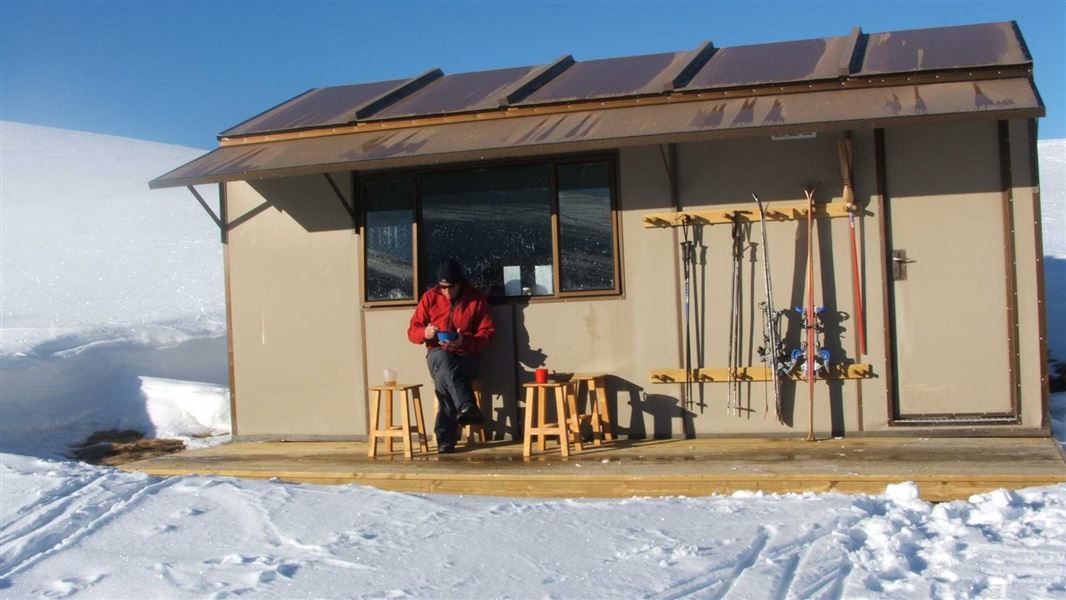
Kirtle Burn Hut is a standard seven-bunk hut located in the Wanaka/Makarora area of Otago.
Mattresses • Toilets - non-flush • Water from stream
Meadow Hut
Otago • 7.2 km
Musterers Hut
Otago • 7.2 km
Musterers Hut is a backcountry hut located in the Otago region of New Zealand. The provided data does not include specific details regarding its facilities,…
Bob Lee Hut
Otago • 7.3 km
Bob Lee Hut is a backcountry hut located in the Otago region of New Zealand. The provided records do not include specific details regarding its facilities or…
Walks nearby
Pisa Range Ridge Track
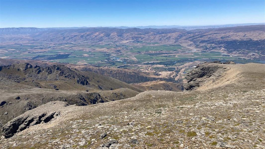
Intermediate • 10 hr one way • 29.24 km • 0 km away
Tinwald Burn Ridge Track
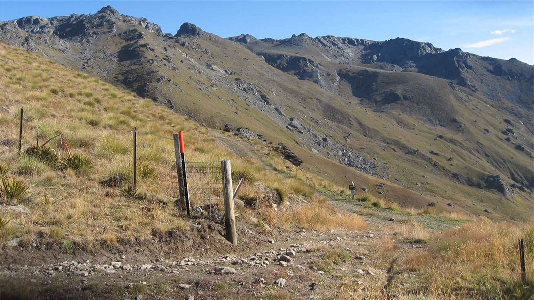
Intermediate • 8 hr return • 20.36 km • 4.04 km away
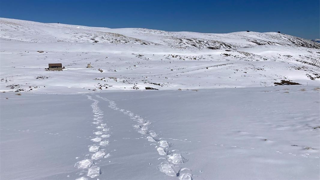
Kirtle Burn Track
Intermediate • 6 hr return • 12.38 km • 4.93 km away
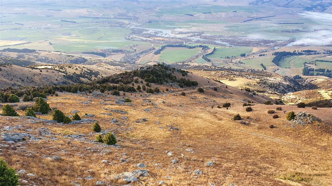
Locharburn Track
Intermediate • 4-6 hr return • 13.36 km • 5.92 km away
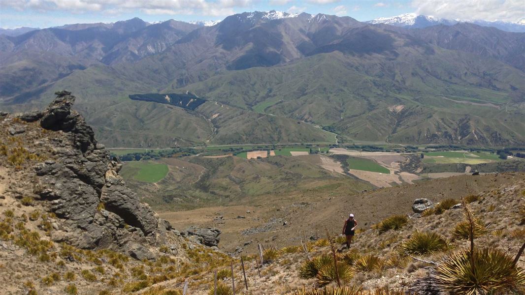
Little Criffel Track
Advanced • 6–8 hr one way • 19 km • 9.79 km away
Notes from people who have been
No notes yet. If you have been, say what you found.
Something missing or out of date?
Closed, moved, wrong facts, or something we have missed? Travellers keep the Road Guide up to date. Tell us what you found at contribute@parkup.nz and we will check it and add it.
Ask us to take this down
A person reads every request. We do not remove a place until we have checked it.
Sources
- DOC Tracks (API) · CC BY 4.0Crown Copyright: Department of Conservation Te Papa Atawhai. Data sourced from the DOC Developer Portal (api.doc.govt.nz).