Little Criffel Track
WalkOtagoOpen
- Grade
- Advanced
- Walking time
- 8 hr
- Distance
- 19 km
- Route
- One way
- Biking time
- Under 4 hours
- Dogs
- No dogs
Access: read before you go
This track crosses private land. There is no camping until the conservation area boundary. Respect the landowner's livestock and property: Stay on the marked track until you reach the conservation land Leave gates as you find them Use stiles where provided Keep your distance from livestock.
You need permission from the Makarora River Ranch to take your dog into Hāwea Conservation Park using Boundary Creek Track. Email makaroraranch@gmail.com at least 24 hours in advance of your visit to request permission. You must provide a valid worming certificate to ensure your dog is free from hydatids and sheep measles.
Source: DOC Te Papa Atawhai.
Getting there
We have not checked a road end or car park for this place yet, so we do not give driving directions to it. Check how to get there before you go. Some routes cross private land and need the landowner's permission.
How to get there, on doc.govt.nzAccess to/from the route is signposted from either the Larches car park (9.5 km from Wānaka) or the Avalon car park (12 km from Wānaka); Cardrona Valley Road.
Source: DOC Te Papa Atawhai.
Map
Map data © OpenStreetMap contributors. Topo map: LINZ, CC BY 4.0. 44.79093° S, 169.12717° E
About this place
This track is in the Pisa Conservation Area which lies between Wānaka and Cromwell.
The route
Avalon car park to Little Criffel Summit
Time: 3–4 hrs
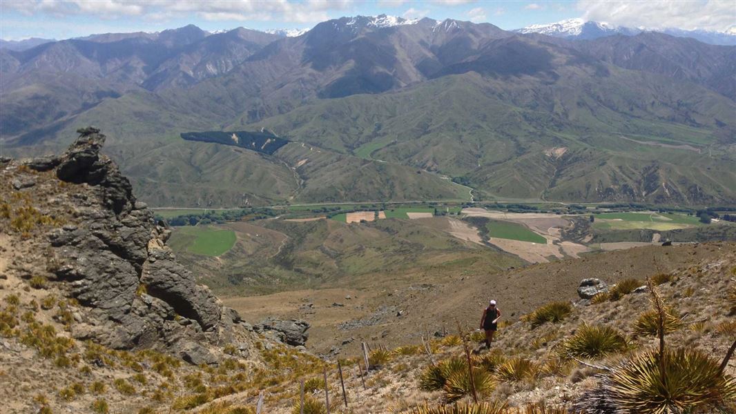
km The route up to 1,341 m Little Criffel from Avalon car park is on a steep and unformed track. It provides a good opportunity for fit, experienced walkers to enjoy extensive views over the Upper Clutha Basin. It also gives a spectacular panorama of the Southern Alps/Kā Tiritiro o te Moana. From the car park, cross the Cardrona River and follow the markers and stiles up the hill to the summit of Little Criffel.
Little Criffel Summit to The Larches car park
Time: 3–4 hrs
km The marked route between the summit of Little Criffel and the Larches car park is mostly on a 4WD track apart from where it crosses through the Larches Conservation Area. This conservation area is a small pocket of shrubland dominated by kānuka, matagouri and native broom. A special lease area provides access between two sections of the Pisa Conservation Area – there are no marked tracks in this section to follow.
Mountain biking
Mountain biking is permitted on the Larches track. This is an advanced level rated cycle track that involves some steep climbs and poor traction. Some sections will require riders to get off their bikes and walk.
Source: DOC Te Papa Atawhai.
Know before you go
Stay safe when crossing rivers and streams
If you plan to cross unbridged rivers or side streams, know how to cross safely and be prepared for if you cannot cross. Do not cross if the river or stream is flooded, you cannot find safe entry and exit points or are unsure it’s safe. Turn back or wait for the river to drop. If in doubt, stay out. How to cross rivers safely NIWA river flow forecasts: View a video of national followed by regional river flows
Be avalanche alert
Avalanches can occur in any season. Any time that snow and steep slopes are combined there is potential for an avalanche. You need to understand the risks before you visit avalanche-prone country. This area has terrain that can produce avalanches that cross the track, usually from May into November. View avalanche information and the terrain rating for this track .
Private property and permissions
This track crosses private land. There is no camping until the conservation area boundary. Respect the landowner's livestock and property: Stay on the marked track until you reach the conservation land Leave gates as you find them Use stiles where provided Keep your distance from livestock.
Dogs
You need permission from the Makarora River Ranch to take your dog into Hāwea Conservation Park using Boundary Creek Track. Email makaroraranch@gmail.com at least 24 hours in advance of your visit to request permission. You must provide a valid worming certificate to ensure your dog is free from hydatids and sheep measles.
Source: DOC Te Papa Atawhai.
Nearby stops
Bob Lee Hut
Otago • 7.9 km
Bob Lee Hut is a backcountry hut located in the Otago region of New Zealand. The provided records do not include specific details regarding its facilities or…
Daisy Lee Hut
Otago • 7.9 km
Musterers Hut
Otago • 8.5 km
Musterers Hut is a backcountry hut located in the Otago region of New Zealand. The provided data does not include specific details regarding its facilities,…
Robrosa Hut
Otago • 8.8 km
Robrosa Hut is a backcountry hut located in the Otago region of New Zealand. The provided records do not include specific details regarding its facilities,…
Meadow Hut
Otago • 9 km
Walks nearby
Kirtle Burn Track
Intermediate • 6 hr return • 12.38 km • 8.47 km away
Skyline Track
Advanced • 10-11 hrs • 23 km • 9.31 km away
Pisa Range Ridge Track
Intermediate • 10 hr one way • 29.24 km • 9.79 km away
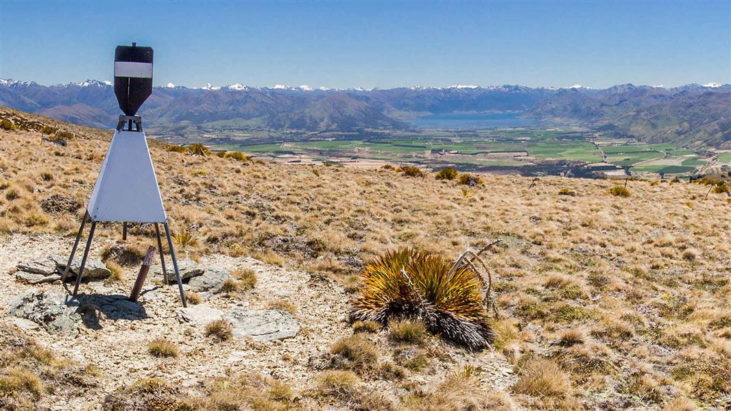
Pt 1,444 Trig
Advanced • 5-6 hr return • 15 km • 9.79 km away
Luggate Creek Track
Easiest • 20 min one way • 1.5 km • 12.88 km away
Notes from people who have been
No notes yet. If you have been, say what you found.
Something missing or out of date?
Closed, moved, wrong facts, or something we have missed? Travellers keep the Road Guide up to date. Tell us what you found at contribute@parkup.nz and we will check it and add it.
Ask us to take this down
A person reads every request. We do not remove a place until we have checked it.
Sources
- DOC Tracks & Trails · CC BY 4.0Data sourced from the Department of Conservation (DOC), New Zealand.
- DOC Tracks (API) · CC BY 4.0Crown Copyright: Department of Conservation Te Papa Atawhai. Data sourced from the DOC Developer Portal (api.doc.govt.nz).