Skyline Track
WalkOtago
- Grade
- Advanced
- Walking time
- 11 hr
- Distance
- 23 km
- Dogs
- No dogs
Access: read before you go
This track crosses private land. There is no camping until the conservation area boundary. Respect the landowner's livestock and property: Stay on the marked track until you reach the conservation land Leave gates as you find them Use stiles where provided Keep your distance from livestock.
You need permission from the Makarora River Ranch to take your dog into Hāwea Conservation Park using Boundary Creek Track. Email makaroraranch@gmail.com at least 24 hours in advance of your visit to request permission. You must provide a valid worming certificate to ensure your dog is free from hydatids and sheep measles.
Source: DOC Te Papa Atawhai.
Getting there
We have not checked a road end or car park for this place yet, so we do not give driving directions to it. Check how to get there before you go. Some routes cross private land and need the landowner's permission.
How to get there, on doc.govt.nzThe track starts at the Roys Peak Track carpark on the Mt Aspiring road, 6 km from the Wanaka township. It ends on the Cardrona Valley Road,10 km from Wānaka township (look for a small carpark next to a deer fence at Spotts Creek).
Source: DOC Te Papa Atawhai.
Map
Map data © OpenStreetMap contributors. Topo map: LINZ, CC BY 4.0. 44.71912° S, 169.06663° E
About this place
The Skyline Track is a challenging tramping track in the Wānaka area.
The route
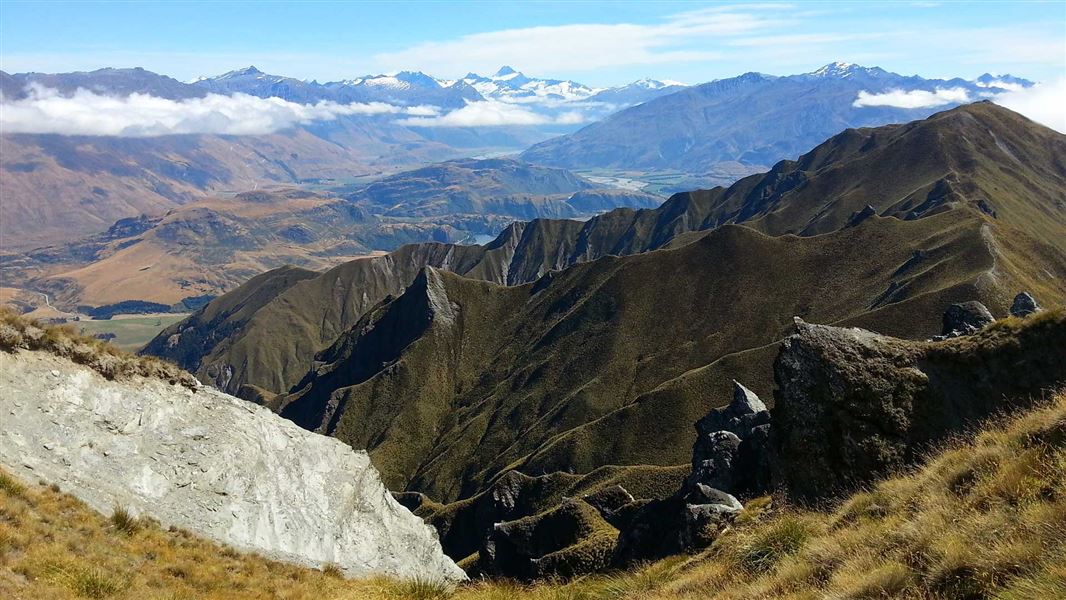
This strenuous hike begins with the track to Roys Peak (1578 m), leading through farmland and up into the tussock tops. From the peak, the Skyline track becomes more remote, narrower, and greater concentration is required. At several points, faint animal tracks lead away from the track, so follow the orange poles carefully to stay on the right track. The track follows the ridgeline towards Mt Alpha (1630 m). Shortly before Mt Alpha, the track skirts around some rocks. This section is technical and narrow, with a steep drop off on one side, and requires care when crossing. It is loose underfoot and is particularly treacherous in wet, icy, or snowy conditions. From Mt Alpha, the track descends through snow tussock to a 4WD farm track, before reaching a signed junction. A poled track from this junction drops down into Spotts Creek then out to the Cardrona Valley Road and carpark. There are several creeks and bogs to cross in the last 5 km of the track. Take care after very heavy rain. The Skyline Track can be walked in either direction.
Source: DOC Te Papa Atawhai.
Know before you go
Skyline Track in summer
This track has no shade along much of the route and no drinking water. We recommend starting early in the day and bringing sun protection and plenty of water. There can be bad weather, strong wind gusts and low visibility at any time of year. Check the Mount Aspiring National Park weather forecast – NIWA website and reschedule your hike if there's poor weather. Be sure to check the wind gusts when checking the forecast.
Skyline Track is not recommended in winter
Low cloud is common in winter and makes it hard to follow the track. There can also be snow and ice on the track in winter, which makes the narrow and high sections of the track much more difficult.
What to take when hiking Skyline Track
This track is fully exposed to the weather, especially on the ridgelines. Be prepared for fast-changing weather by having warm, waterproof, windproof clothing, sun protection, and sturdy footwear with good grip. You cannot buy food or water on the track, bring plenty with you. Day Hikes gear list .
Avalanche risk
This area has terrain that can produce avalanches that cross the track, usually from May into November. View avalanche information .
Private property and permissions
This track crosses private land. There is no camping until the conservation area boundary. Respect the landowner's livestock and property: Stay on the marked track until you reach the conservation land Leave gates as you find them Use stiles where provided Keep your distance from livestock.
Dogs
You need permission from the Makarora River Ranch to take your dog into Hāwea Conservation Park using Boundary Creek Track. Email makaroraranch@gmail.com at least 24 hours in advance of your visit to request permission. You must provide a valid worming certificate to ensure your dog is free from hydatids and sheep measles.
Source: DOC Te Papa Atawhai.
Nearby stops
Mt Aspiring Holiday Park
Otago • 3.4 km
Mt Aspiring Holiday Park is a campsite located in the Otago region. It provides basic accommodation for visitors exploring the surrounding area.
Wānaka TOP 10 Holiday Park
Otago • 3.7 km
Wanaka Holiday Park
Otago • 5.2 km
Wanaka Holiday Park is a campsite located in the Otago region of New Zealand. No further details regarding facilities or amenities are available in the…
Glendhu Bay Holiday Park
Otago • 6.4 km
Glendhu Bay Holiday Park is a campsite located in the Otago region of New Zealand. The provided data does not list specific facilities or amenities for this…
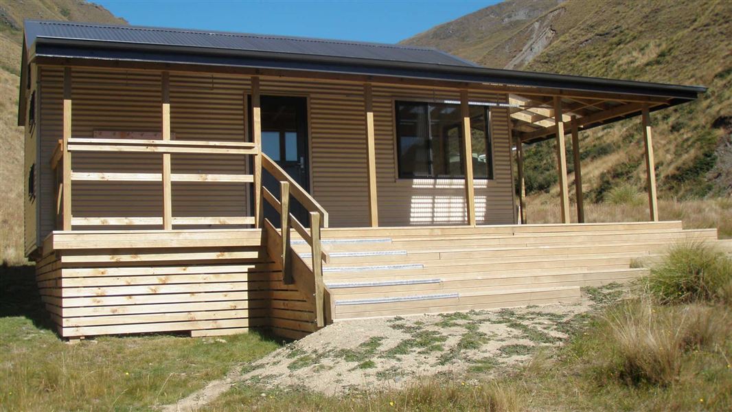
Fern Burn Hut
Standard • 12 bunks • Otago • 6.9 km
Fern Burn Hut is a standard 12-bunk hut located in the Wānaka area of Otago.
Mattresses • Toilets - non-flush • Water from tap - not treated, boil before use
Walks nearby
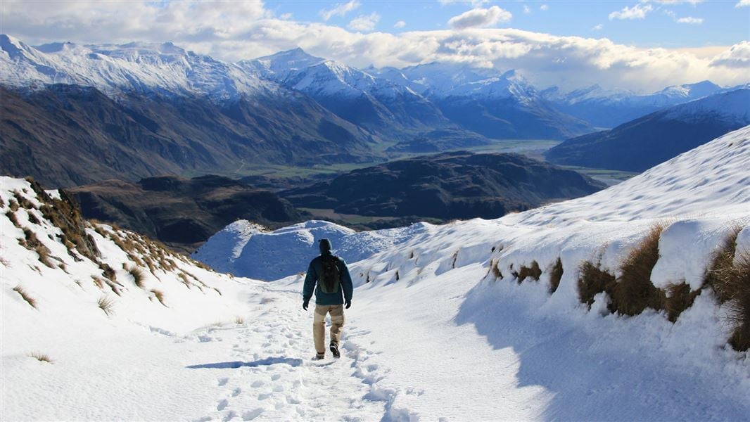
Roys Peak Track
Easy • 5-6 hr return • 16 km • 4.07 km away
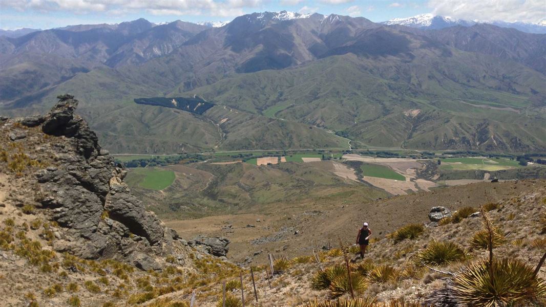
Little Criffel Track
Advanced • 6–8 hr one way • 19 km • 9.31 km away
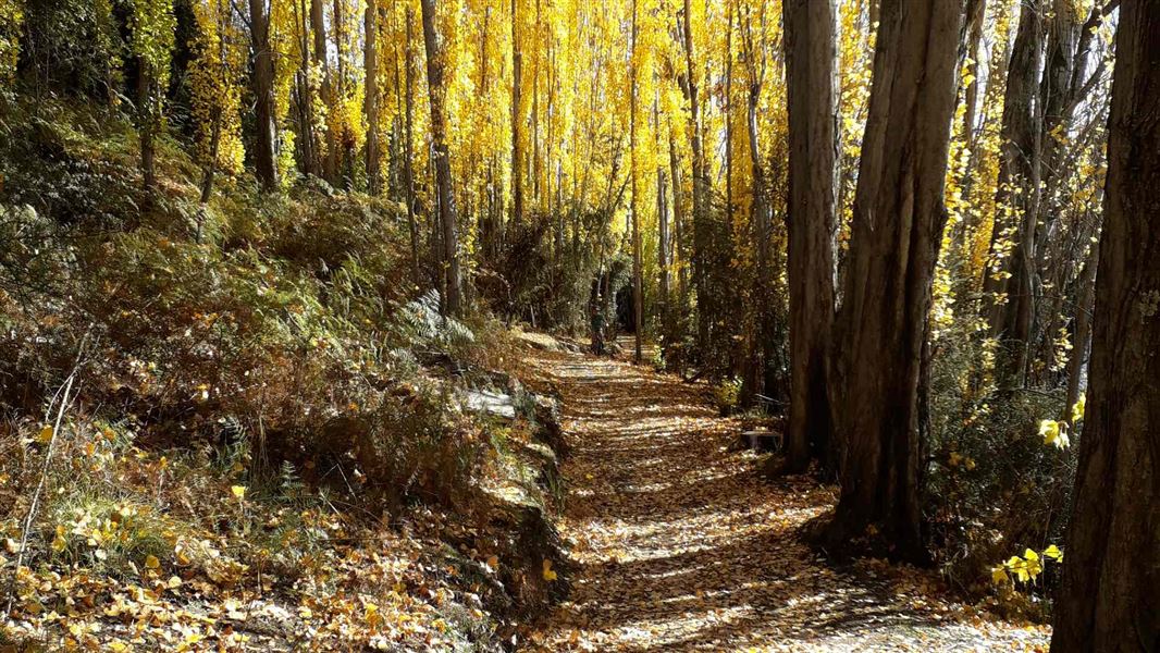
Outlet Track
Easiest • 45 min one way • 3 km • 9.81 km away
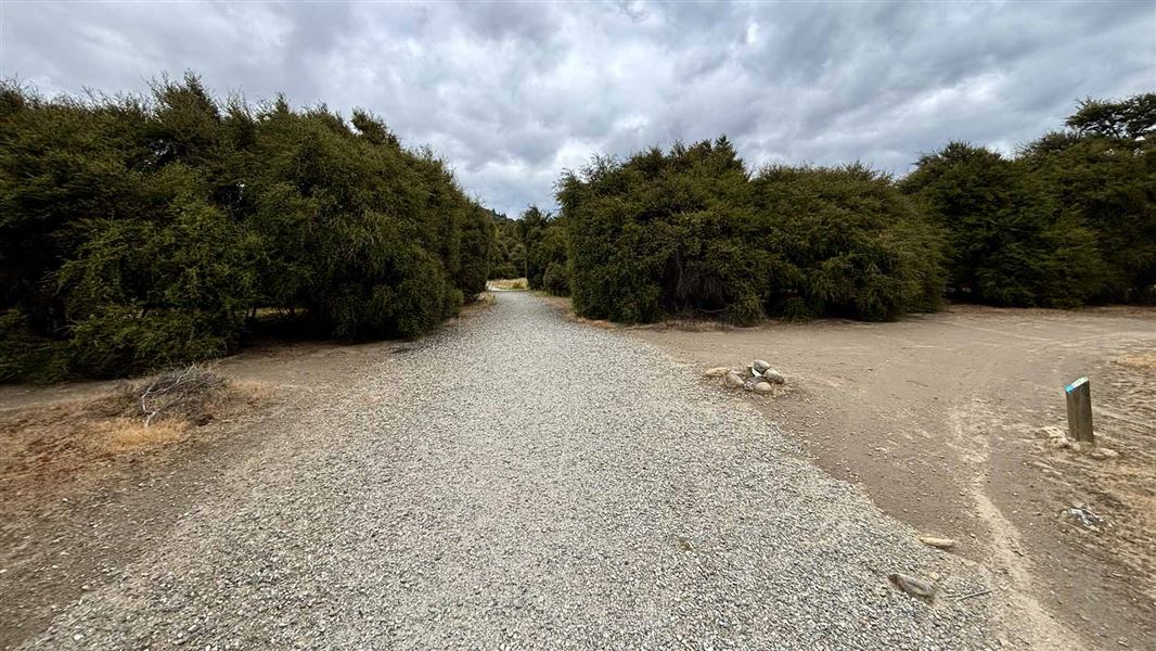
Hikuwai Link Track
Easiest • 20 min one way • 600 m • 10.19 km away
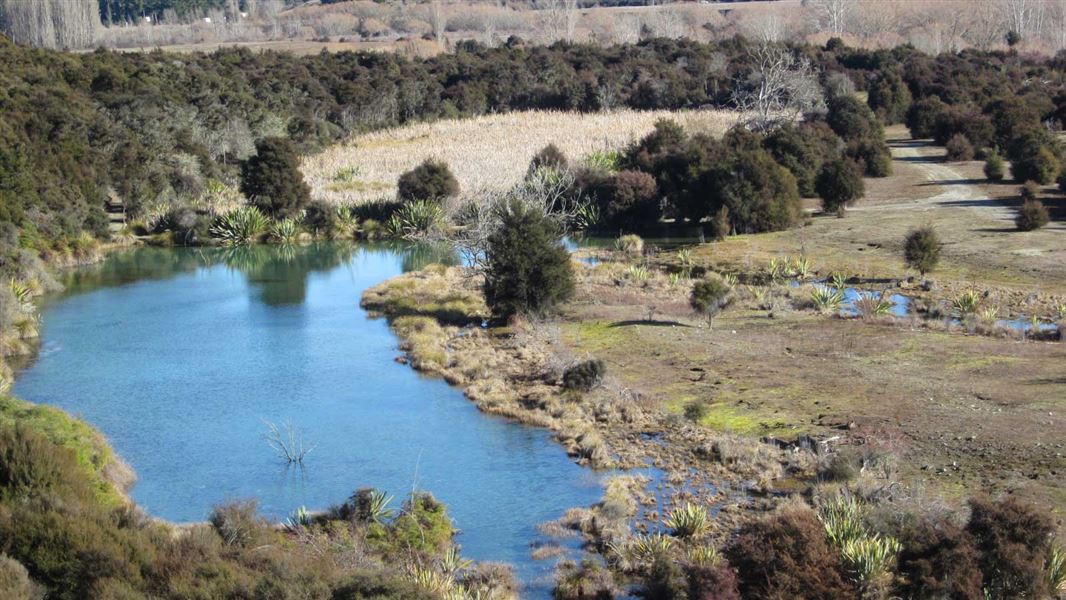
Butterfields Wetland Walk
Easy • 45 mins • 2.5km • 12.36 km away
Notes from people who have been
No notes yet. If you have been, say what you found.
Something missing or out of date?
Closed, moved, wrong facts, or something we have missed? Travellers keep the Road Guide up to date. Tell us what you found at contribute@parkup.nz and we will check it and add it.
Ask us to take this down
A person reads every request. We do not remove a place until we have checked it.
Sources
- DOC Tracks (API) · CC BY 4.0Crown Copyright: Department of Conservation Te Papa Atawhai. Data sourced from the DOC Developer Portal (api.doc.govt.nz).