Fern Burn Hut
Standard hutWānaka area, OtagoOpen
- Sleeps
- 12 bunks
- Booking
- Not bookable
- Cost
- from $15
- Heating
- None
- Drinking water
- Boil first
- Toilet
- Non-flush
Getting there
We have not checked a road end or car park for this place yet, so we do not give driving directions to it. Check how to get there before you go. Some routes cross private land and need the landowner's permission.
How to get there, on doc.govt.nzRough times from nearest roads and huts:
- Topo map
- Topo50 sheet CB12
- Grid reference
- E1282089, N5038118
Source: DOC Te Papa Atawhai.
Map and tracks
Track lines: DOC Te Papa Atawhai. Map data © OpenStreetMap contributors. Topo map: LINZ, CC BY 4.0. 44.73976° S, 168.98467° E
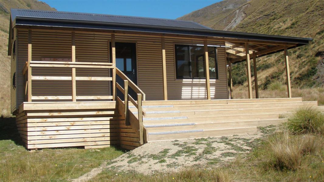
About this place
This is a standard 12-bunk hut in the Wānaka area.
On the way here
Motatapu Track · 3 - 4 days
Fern Burn carpark to Fern Burn Hut
Time: 3 - 4 hr, 7 km
The track meanders gently along the true right of the Fern Burn through riparian shrubland and grassy flats before climbing into a forest of mountain, silver and red beech. At this point the Fern Burn narrows and cascades and waterfalls become a feature. The track briefly enters the 4,144 ha Stack Conservation Area, which has other access points from the Spotts Creek and Roys Peak tracks. It is possible for experienced parties to negotiate the conservation area and use these routes. The Motatapu Track continues to the bush edge and then on to upland tussock country and the 12-bunk Fern Burn Hut.
Fern Burn Hut to Highland Creek Hut
Time 3 – 5 hr, 6 km This section is more arduous. It continues along the Upper Fern Burn through tussock country before reaching 1,275-m Jack Hall’s Saddle. The saddle and nearby creek were named after a local shepherd. Then there's a steep descent into a creek bed, before traversing another two ridges descending to Highland Creek. The descent is very slippery in wet weather. The 12-bunk Highland Creek Hut nestles in this spectacular upland basin.
Source: DOC Te Papa Atawhai.
Fees and bookings
Before you go, buy Hut Tickets for each night's stay. Put these in the honesty box at the hut. Or buy a Backcountry Hut Pass that gives unlimited use at most Standard and Serviced huts for a 12 month period. Retailers that sell hut tickets and passes Te Araroa – The Trail Pass Te Araroa Trail Pass
Source: DOC Te Papa Atawhai.
Nearby stops

Highland Creek Hut
Standard • 12 bunks • Otago • 5.1 km
Highland Creek Hut is a standard 12-bunk hut located in the Wānaka area of Otago.
Mattresses • Toilets - non-flush • Water from tap - not treated, boil before use
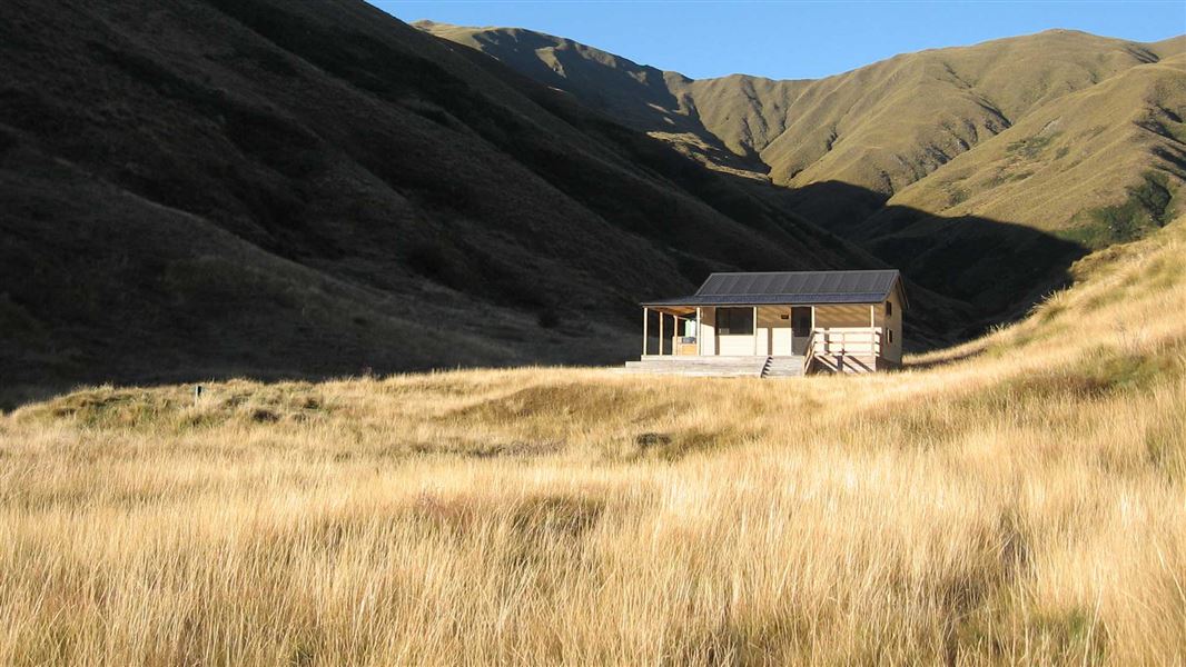
Roses Hut
Standard • 12 bunks • Otago • 12 km
Roses Hut is a standard 12-bunk hut located in the Wānaka area of Otago.
Mattresses • Toilets - non-flush • Water from tap - not treated, boil before use
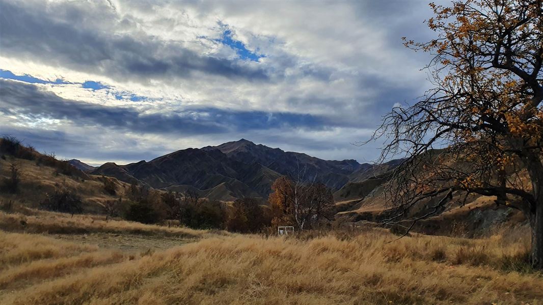
Macetown Campsite
Basic • Otago • 19.1 km
Macetown Campsite is a basic campsite in the Queenstown and Wakatipu area, located 15 km from Arrowtown. Access is via a 4WD road that crosses the Arrow River…
Non-powered/tent sites • Water from stream • Toilets - non-flush
Arrowtown Holiday Park
Otago • 25.5 km
Arrowtown Holiday Park is a campsite located in the Otago region. It provides a base for visitors exploring the historic town and the surrounding Central Otago…
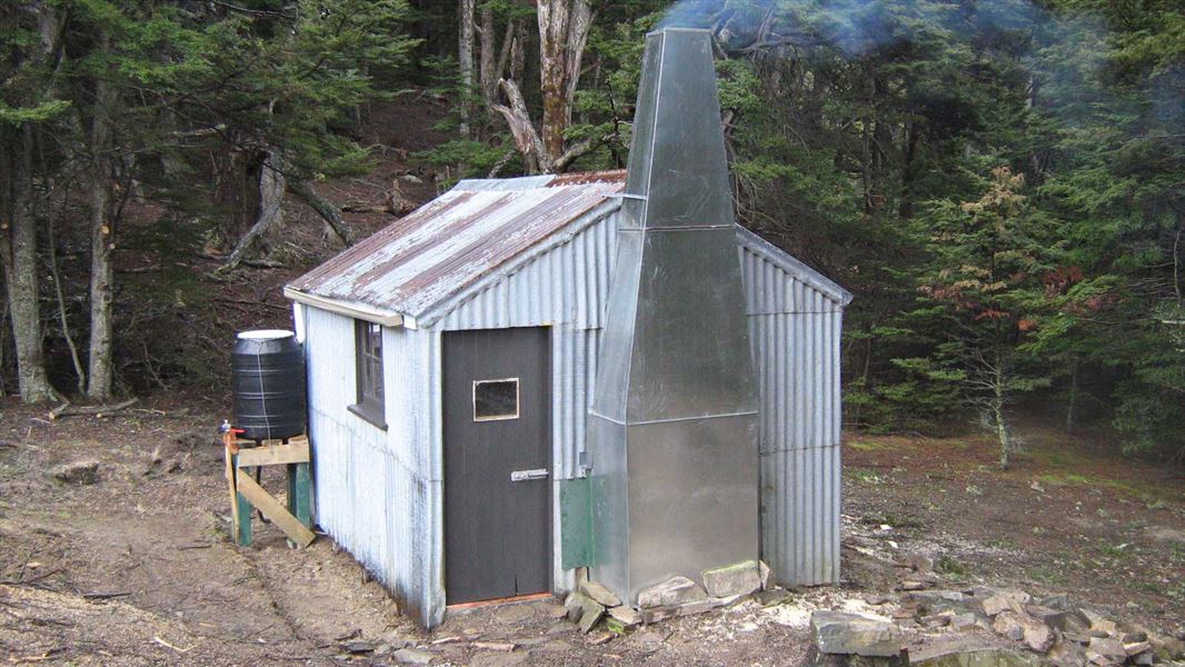
Moonlight and Roses Hut
Basic/bivvies • 4 bunks • Otago • 42.8 km
Moonlight and Roses Hut is a basic four-bunk hut located in the Wanaka area of Otago.
Heating • Mattresses • Toilets - non-flush
Walks nearby
Contact
Wānaka Tititea/Mount Aspiring National Park
Regional DOC service centre.
Notes from people who have been
No notes yet. If you have been, say what you found.
Something missing or out of date?
Closed, moved, wrong facts, or something we have missed? Travellers keep the Road Guide up to date. Tell us what you found at contribute@parkup.nz and we will check it and add it.
Ask us to take this down
A person reads every request. We do not remove a place until we have checked it.
Sources
- DOC Huts (API) · CC BY 4.0Crown Copyright: Department of Conservation Te Papa Atawhai. Data sourced from the DOC Developer Portal (api.doc.govt.nz).
- DOC Huts · CC BY 4.0Data sourced from the Department of Conservation (DOC), New Zealand.
- OpenStreetMap Huts · ODbL (Open Database License)Contains information from OpenStreetMap, made available under the ODbL.