Roys Peak Track
WalkOtagoOpen
- Grade
- Easy
- Walking time
- 6 hr
- Distance
- 16 km
- Route
- One way
- Dogs
- No dogs
Access: read before you go
There are two toilets on Roys Peak Track. They are located at the car park and near the photo viewpoint around 30 minutes before the Roys Peak summit. This track crosses private land. Respect the landowner's livestock and property by staying on the marked track, giving livestock space, leaving gates as you find them and using stiles where provided. Campfires are not allowed. Gas camp cookers are allowed in the Stack Conservation Area, but choose a site that is clear of flammable materials. No fires allowed on the private land. Mountain bikes are not allowed on the track.
Flying a drone without a permit is strictly prohibited. Drone use on conservation land
Source: DOC Te Papa Atawhai.
Getting there
We have not checked a road end or car park for this place yet, so we do not give driving directions to it. Check how to get there before you go. Some routes cross private land and need the landowner's permission.
How to get there, on doc.govt.nzFrom Wānaka, drive west along the Wānaka – Mount Aspiring Road for about 6 km until you reach the large Roys Peak car park on your left.
Open in Google Maps
Free parking for cars and campervans.
Roys Peak car park gets very busy and there may not be parking spaces available. Do not park on the edge of the road.
You can walk or cycle to the Roys Peak Track entrance from Wānaka, using Waterfall Creek Track, Glendhu Bay Track and a section of road. These tracks are not managed by DOC.
Transport providers are available. Find options online or contact the Wānaka isite.
Driving
From Wānaka, drive west along the Wānaka – Mount Aspiring Road for about 6 km until you reach the large Roys Peak car park on your left. Open in Google Maps
Parking
Free parking for cars and campervans. Roys Peak car park gets very busy and there may not be parking spaces available. Do not park on the edge of the road.
Walking and cycling
You can walk or cycle to the Roys Peak Track entrance from Wānaka, using Waterfall Creek Track, Glendhu Bay Track and a section of road. These tracks are not managed by DOC.
Shuttles and taxis
Transport providers are available. Find options online or contact the Wānaka isite .
Source: DOC Te Papa Atawhai.
Map
Map data © OpenStreetMap contributors. Topo map: LINZ, CC BY 4.0. 44.68287° S, 169.05940° E
About this place
Roys Peak Track is a challenging full-day hike near Wānaka in Central Otago. It is one of New Zealand's most popular day hikes because of its panoramic views over Lake Wānaka.
The route
About the track
The track starts at Roys Peak car park, on Wānaka – Mount Aspiring Road. Follow the track as it zig-zags steeply up the side of Roys Peak. It passes through farmland then tussock. Stay on the marked track as most of the track is through private land. Roys Peak Track ends at the summit of Roys Peak, at 1,578 metres elevation. The famous Roys Peak photo viewpoints are roughly 30 minutes before the summit. From the summit, return back the way you came. Alternatively, experienced trampers can continue onto the more challenging Skyline Track .
Guided hiking
Guided hikes of Roys Peak Track are available. Find options online or contact the Wānaka isite .
Nearby alternative
During the Roys Peak Track lambing closure, Isthmus Peak Track is an excellent alternative. It is a similar length and difficulty to Roys Peak Track, is less busy and has equally spectacular views.
Roys Peak Track virtual guide
Watch a NZ Mountain Safety Council video.
Source: DOC Te Papa Atawhai.
Know before you go
When to go
Know what to expect in different seasons: Summer: The track can be very hot in summer, with no shade or water. We recommend bringing plenty of water and sun protection, and avoiding hiking during the hottest part of the day. Autumn: Weather in autumn is very variable. It can be very hot but there can also be cold temperatures and snow. Winter: Snow and ice in winter make the track much more difficult. See more information below. Spring: Winter conditions can continue into spring, especially frozen ground and cold temperatures. Roys Peak Track is closed from 1 October to 10 November. Head torches, spare batteries and very warm clothes are essential if attempting to hike in the dark. Image: Kinisi Running | © The safest time of day to hike Roys Peak is during daylight hours. If attempting the track in the dark, head torches, spare batteries and very warm clothes are essential. Do not rely on a phone torch. The upper parts of Roys Peak Track are in an alpine area. Prepare for sudden weather changes, rain, snow and cold temperatures at any time of year. Check the forecast and change your plans if needed. View weather forecast
What to take
Warm layers and a waterproof and windproof raincoat Sun protection – sunblock, protective layers, sunglasses and a sunhat – as there is no shade on the track Plenty of drinking water, as there is no water along the track Sturdy hiking footwear with good grip Food Torch or head torch Fully charged mobile phone Everything else on the Day hikes gear list
Roys Peak Track in winter
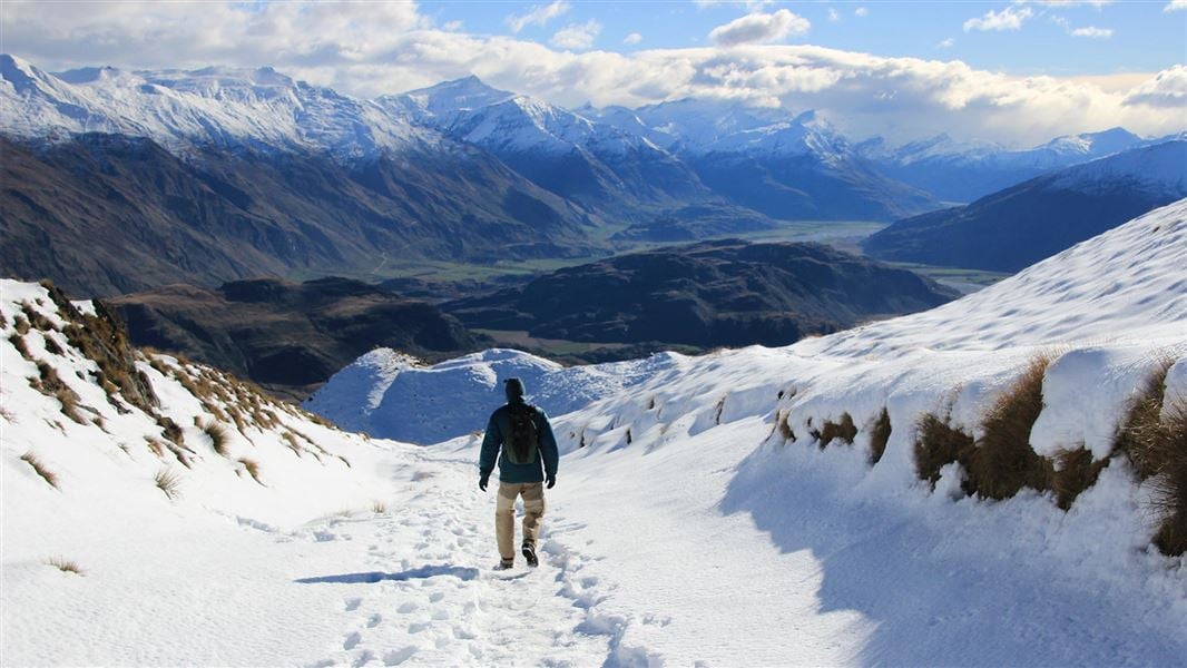
In winter and early spring, Roys Peak Track can have snow and ice. Daylight hours are short and the track is often muddy and slippery. Depending on conditions, you may need micro-spikes and walking poles, in addition to sturdy hiking shoes. Contact the Tititea/Mt Aspiring National Park Visitor Centre for the latest track conditions. Roys Peak Track has challenging avalanche terrain above 1, 000 metres. Find out more about this on the New Zealand Avalanche Advisory website or check with the Tititea/Mt Aspiring National Park Visitor Centre.
Plan your visit
There are two toilets on Roys Peak Track. They are located at the car park and near the photo viewpoint around 30 minutes before the Roys Peak summit. This track crosses private land. Respect the landowner's livestock and property by staying on the marked track, giving livestock space, leaving gates as you find them and using stiles where provided. Campfires are not allowed. Gas camp cookers are allowed in the Stack Conservation Area, but choose a site that is clear of flammable materials. No fires allowed on the private land. Mountain bikes are not allowed on the track.
No drones
Flying a drone without a permit is strictly prohibited. Drone use on conservation land
Source: DOC Te Papa Atawhai.
Nearby stops
Glendhu Bay Holiday Park
Otago • 3.5 km
Glendhu Bay Holiday Park is a campsite located in the Otago region of New Zealand. The provided data does not list specific facilities or amenities for this…
Mt Aspiring Holiday Park
Otago • 3.8 km
Mt Aspiring Holiday Park is a campsite located in the Otago region. It provides basic accommodation for visitors exploring the surrounding area.
Wānaka TOP 10 Holiday Park
Otago • 4.6 km
Wanaka Holiday Park
Otago • 5.8 km
Wanaka Holiday Park is a campsite located in the Otago region of New Zealand. No further details regarding facilities or amenities are available in the…
Outlet Camp Wānaka
Otago • 7.6 km
Outlet Camp Wānaka is a campsite located in the Otago region. The provided records do not list specific facilities or details for this location.
Walks nearby
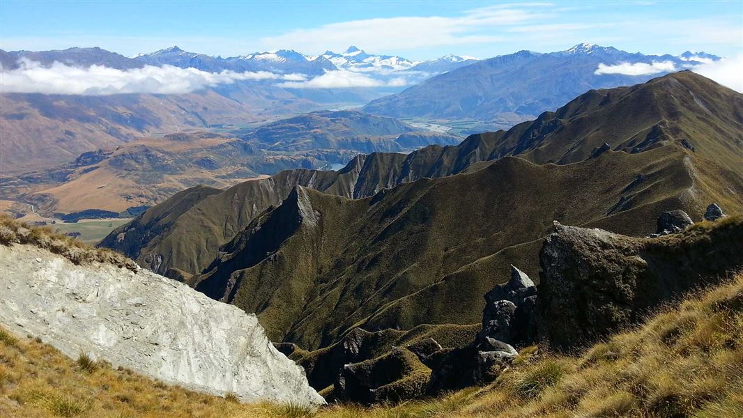
Skyline Track
Advanced • 10-11 hrs • 23 km • 4.07 km away
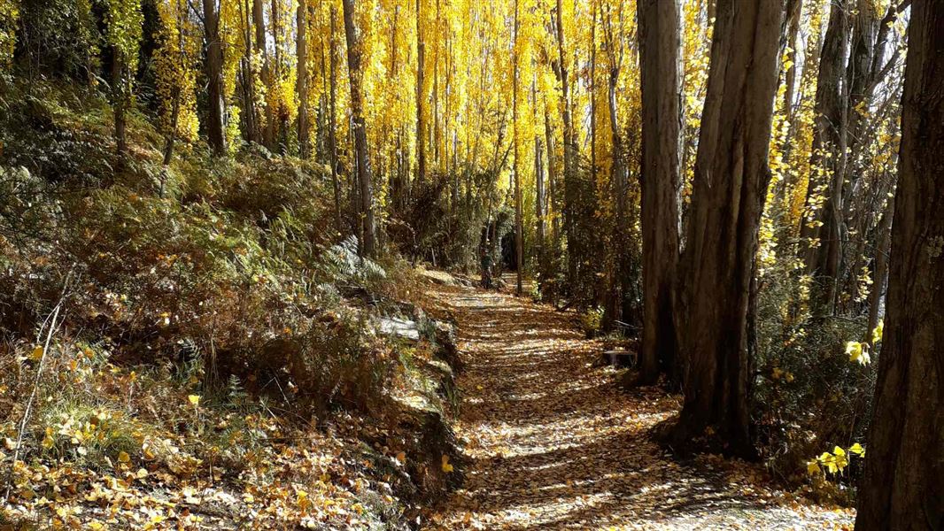
Outlet Track
Easiest • 45 min one way • 3 km • 8.84 km away
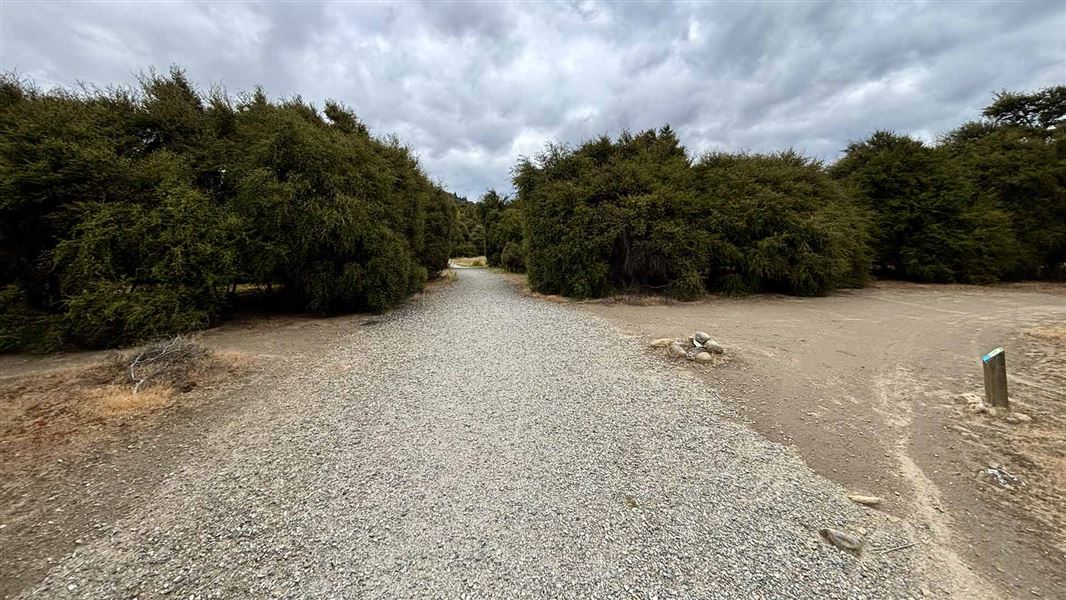
Hikuwai Link Track
Easiest • 20 min one way • 600 m • 9.47 km away
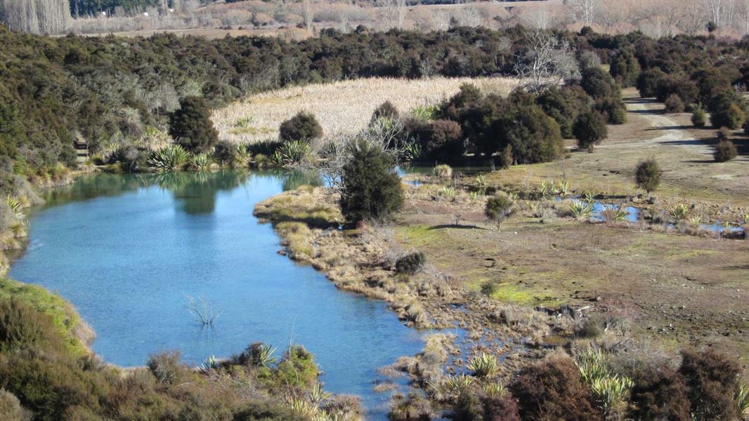
Butterfields Wetland Walk
Easy • 45 mins • 2.5km • 11.98 km away
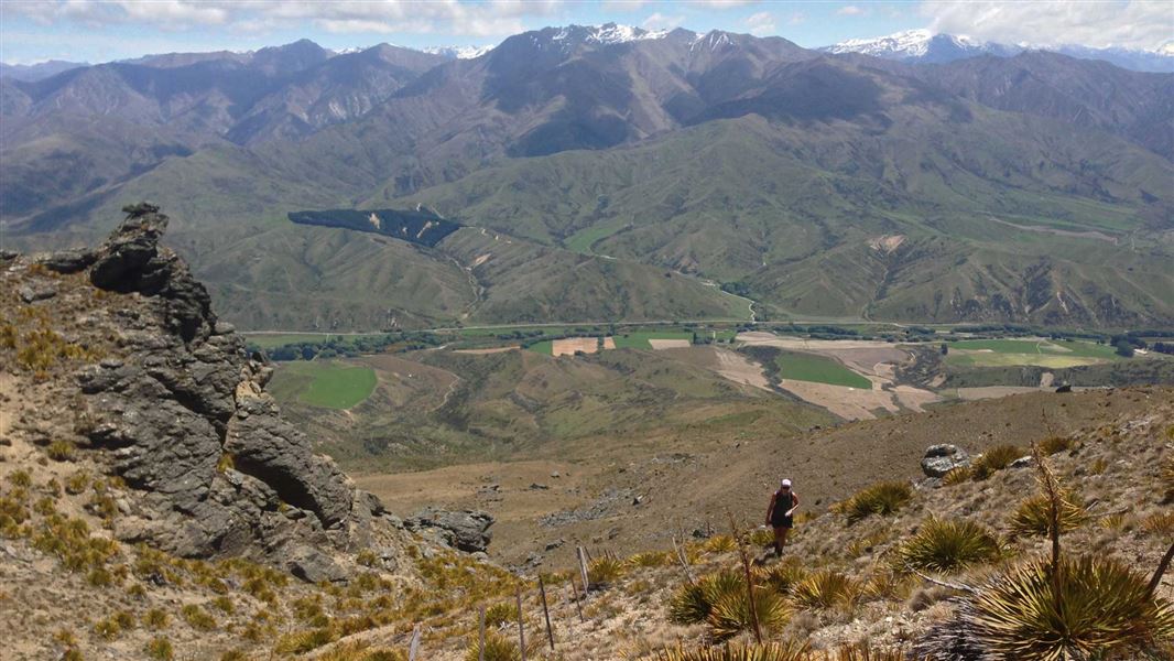
Little Criffel Track
Advanced • 6–8 hr one way • 19 km • 13.15 km away
Notes from people who have been
No notes yet. If you have been, say what you found.
Something missing or out of date?
Closed, moved, wrong facts, or something we have missed? Travellers keep the Road Guide up to date. Tell us what you found at contribute@parkup.nz and we will check it and add it.
Ask us to take this down
A person reads every request. We do not remove a place until we have checked it.
Sources
- DOC Tracks & Trails · CC BY 4.0Data sourced from the Department of Conservation (DOC), New Zealand.
- DOC Tracks (API) · CC BY 4.0Crown Copyright: Department of Conservation Te Papa Atawhai. Data sourced from the DOC Developer Portal (api.doc.govt.nz).