Macetown Campsite
Basic campsiteLocated in Macetown Historic Reserve, OtagoOpen
Current advisories
Macetown Road slips
22 September 2026
The Macetown Road has numerous slips after a storm event in late August 2026. The slips could be unstable. 4WD, walking and biking access is closed (refer to the managed access system ). First published on 2 September 2026. Last reviewed on 23 September 2026.
Source: DOC Te Papa Atawhai alerts.
- Sites
- 36
- Booking
- Not bookable
- Cost
- Free
- Power
- None
- Toilet
- Non-flush
- Water
- Yes
- Dogs
- On a lead
Getting there
Follow Macetown Road 15 km up the Arrow River from Arrowtown. Walking time 3-4 hours one way, mountain biking 1-2 hours one way.
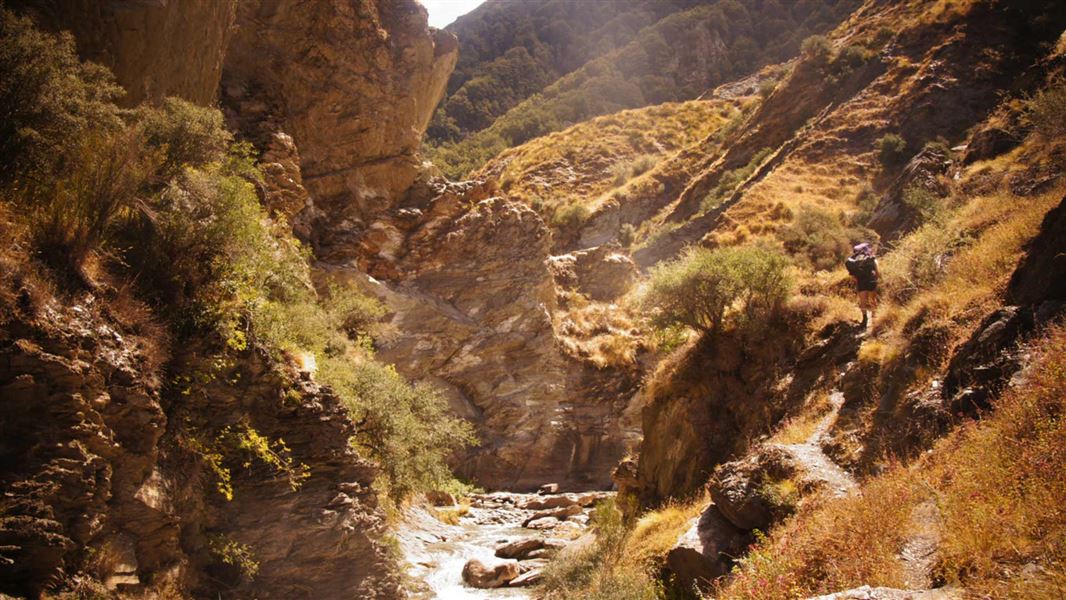
This is a rough and narrow 4WD road with 23 river crossings and steep drop offs – at times impassable due to river levels or winter conditions.
Take care when driving the 4WD track as areas can deteriorate after rains and winter causing slips and landslides.
To preserve ongoing access to the road, these measures are in place:
For more information see: Macetown 4WD Track – Managed Access System | NZFWDA
Source: DOC Te Papa Atawhai.
Map and tracks
Track lines: DOC Te Papa Atawhai. Map data © OpenStreetMap contributors. Topo map: LINZ, CC BY 4.0. 44.86689° S, 168.82098° E
About this place
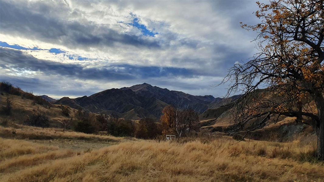
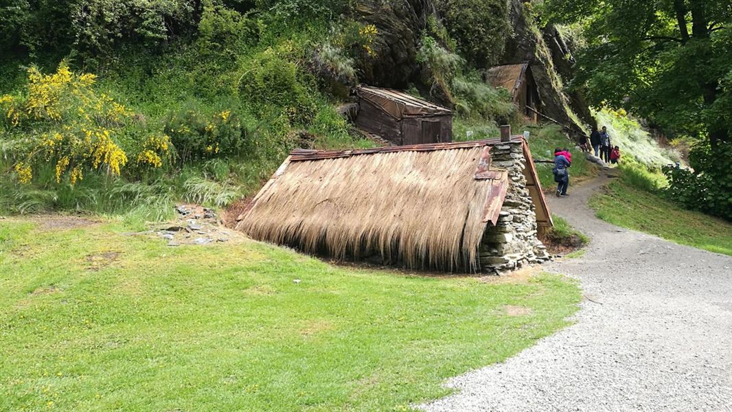
This is a basic campsite in the Queenstown/Wakatipu area, 15 km from Arrowtown, at the end of a 4WD road that crosses the Arrow River numerous times.
Know before you go
Vehicles must stay on tracks
This is an historic site and 4WD and trail bike access is limited to formed tracks. Do not go off the track or attempt routes you are unsure about as it may be very difficult to reverse or pass other traffic. The terrain is challenging and includes sections of narrow road with steep drop-offs, blind corners and multiple unbridged river crossings. Experience in rough conditions on steep terrain is essential.
Vehicle requirements
You should be self-reliant, with recovery equipment (winch) appropriate for the conditions and terrain. Recommended minimum vehicle requirements include: a fit for purpose 4WD fitted with off-road tyres and snorkel, or other suitable means to avoid hydraulicing.
Don't expect vehicle assistance
Do not expect assistance if your vehicle becomes submerged, damaged or stuck on the track or in rivers. You need to make your own arrangements for vehicle recovery in the event of a mishap.
Source: DOC Te Papa Atawhai.
Nearby stops
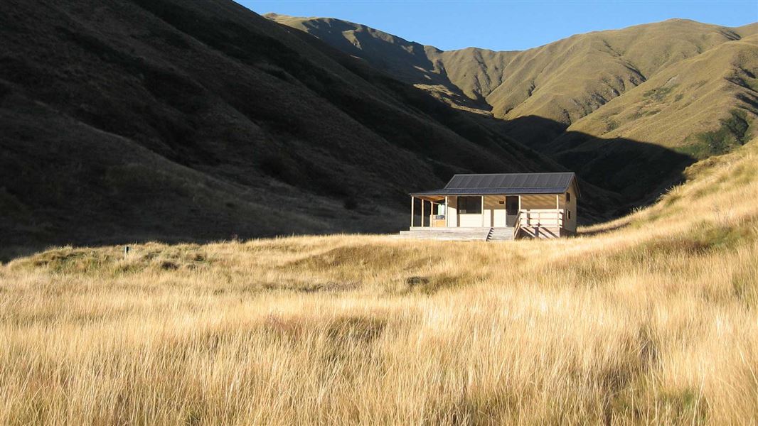
Roses Hut
Standard • 12 bunks • Otago • 7.7 km
Roses Hut is a standard 12-bunk hut located in the Wānaka area of Otago.
Mattresses • Toilets - non-flush • Water from tap - not treated, boil before use
Arrowtown Holiday Park
Otago • 8.7 km
Arrowtown Holiday Park is a campsite located in the Otago region. It provides a base for visitors exploring the historic town and the surrounding Central Otago…

Highland Creek Hut
Standard • 12 bunks • Otago • 14 km
Highland Creek Hut is a standard 12-bunk hut located in the Wānaka area of Otago.
Mattresses • Toilets - non-flush • Water from tap - not treated, boil before use
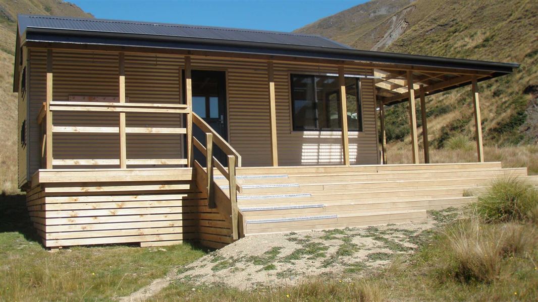
Fern Burn Hut
Standard • 12 bunks • Otago • 19.1 km
Fern Burn Hut is a standard 12-bunk hut located in the Wānaka area of Otago.
Mattresses • Toilets - non-flush • Water from tap - not treated, boil before use
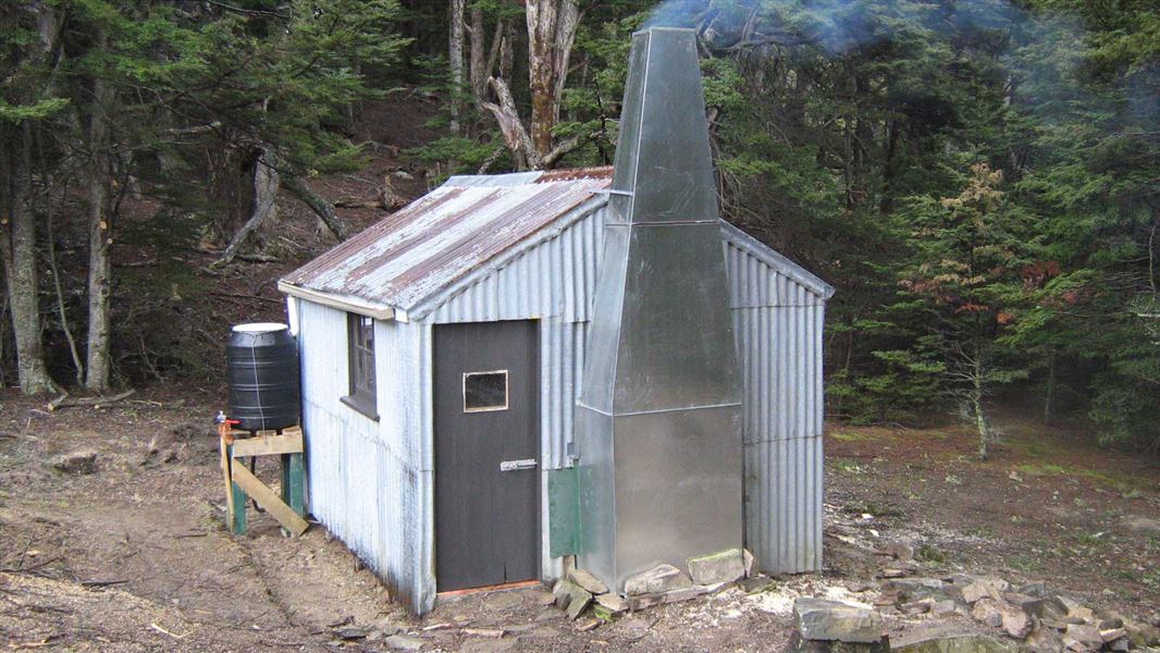
Moonlight and Roses Hut
Basic/bivvies • 4 bunks • Otago • 61.8 km
Moonlight and Roses Hut is a basic four-bunk hut located in the Wanaka area of Otago.
Heating • Mattresses • Toilets - non-flush
Walks nearby
Contact
Whakatipu-wai-Māori/Queenstown Visitor Centre
Regional DOC service centre.
Notes from people who have been
No notes yet. If you have been, say what you found.
Something missing or out of date?
Closed, moved, wrong facts, or something we have missed? Travellers keep the Road Guide up to date. Tell us what you found at contribute@parkup.nz and we will check it and add it.
Ask us to take this down
A person reads every request. We do not remove a place until we have checked it.
Sources
- DOC Campsites · CC BY 4.0Data sourced from the Department of Conservation (DOC), New Zealand.
- OpenStreetMap Campsites · ODbL (Open Database License)Contains information from OpenStreetMap, made available under the ODbL.
- DOC Campsites (API) · CC BY 4.0Crown Copyright: Department of Conservation Te Papa Atawhai. Data sourced from the DOC Developer Portal (api.doc.govt.nz).