Bullendale & Dynamo Hut Tracks
WalkOtago
- Grade
- Advanced
- Walking time
- 6 hr
- Dogs
- On a lead
Getting there
We have not checked a road end or car park for this place yet, so we do not give driving directions to it. Check how to get there before you go. Some routes cross private land and need the landowner's permission.
How to get there, on doc.govt.nzFrom Queenstown, travel along Gorge Road to Arthur’s Point and take the turn-off to Coronet Peak ski field. Off that road, turn left onto the unsealed road signposted to Skippers. From Skippers Saddle, continue on the narrow and winding 13 km Gorge Road to Skippers Bridge and Mount Aurum Recreation Reserve. This is a one-and-a-half- to two-hour drive.
Source: DOC Te Papa Atawhai.
Map
Map data © OpenStreetMap contributors. Topo map: LINZ, CC BY 4.0. 44.80778° S, 168.68734° E
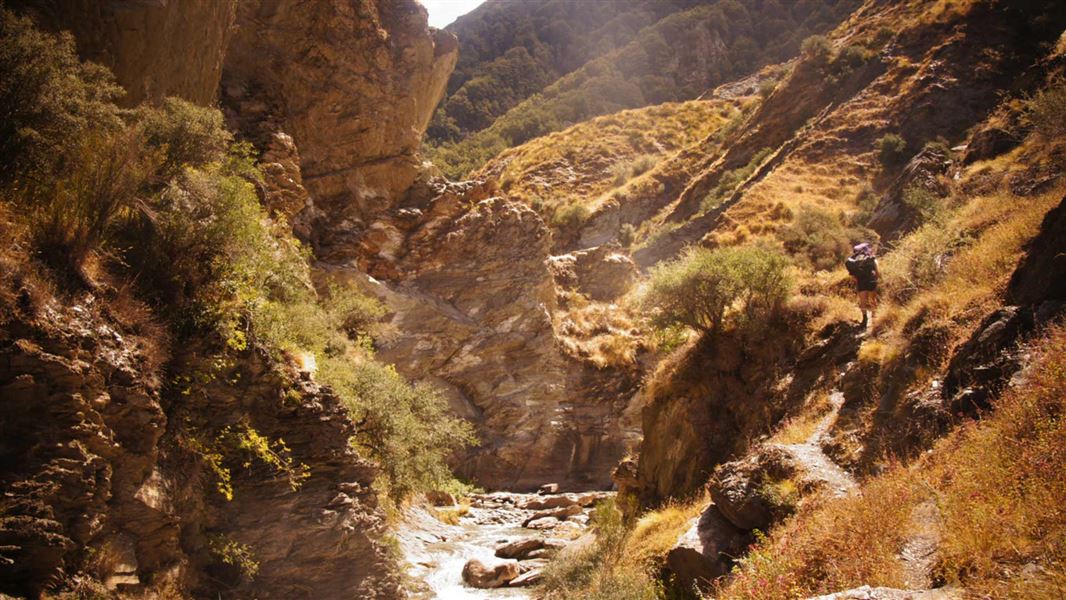
About this place
Traverse rugged Skippers Creek to see New Zealand’s first industrial hydro power scheme or take the trail to the heart of Skippers’ quartz reef mining history.
The route
Bullendale Track
Time: 4 - 6 hr return, medium fitness
Start/finish: Skippers Cemetery. Park your vehicle here. This trail to the heart of Skippers’ quartz reef mining history includes numerous creek crossings up to the junction of Skippers Creek’s two branches. Take the old pack track above the right branch. The former Phoenix Mine is marked by an old rock breaker perched high on the riverbank, above the site of the massive 30-head stamper. Nearby, Murdochs Creek is littered with mining relics, and the remains of Bullendale’s cottages are scattered on the tussock flat above. Warning: heavy metals continue to leach from the old mine workings here – do not drink water from Murdochs Creek.
Dynamo Hut Track
Time: 6 hr return, medium fitness required
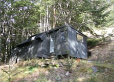
Start/finish: Skippers Cemetery. Park your vehicle here. Traverse rugged Skippers Creek to see New Zealand’s first industrial hydro power scheme that was built in 1886 for the Bullendale battery 2.5 km away. Imagine going this way, lugging the two, solid steel, two-metre Pelton wheels and all the other equipment that the scheme used. The track heads northeast from the cemetery to Skippers Creek, then sidles upstream to the hydro dam that was part of the Mount Aurum Homestead power scheme. Further on, the track switches to Skippers Creek’s branch on the true left branch and climbs the left bank to a terrace where the old, tin Dynamo Hut holds a wealth of stories. Behind the hut are restored power plant parts.
Source: DOC Te Papa Atawhai.
Nearby stops

Dynamo Hut
Standard • 4 bunks • Otago • 2.1 km
Dynamo Hut is a standard four-bunk hut located in the Queenstown/Wakatipu area of Otago.
Heating • Mattresses • Toilets - non-flush
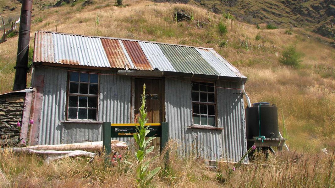
Bullendale Hut
Standard • 4 bunks • Otago • 2.5 km
Bullendale Hut is a standard four-bunk hut located in the Queenstown/Wakatipu area of Otago.
Heating • Mattresses • Toilets - non-flush
Dynamo Red Hut
Basic/bivvies • 2 bunks • Otago • 2.8 km
Dynamo Red Hut is a basic two-bunk hut located in the Queenstown and Wakatipu area of Otago.
Heating • Toilets - non-flush • Water from stream
Crystal Hut
Basic/bivvies • 4 bunks • Otago • 3 km
Crystal Hut is a basic four-bunk hut located in the Queenstown/Wakatipu area of Otago.
Heating • Mattresses • Toilets - non-flush
Peats Hut
Otago • 3.6 km
Peats Hut is a backcountry shelter located in the Otago region of New Zealand. It provides basic accommodation for hikers and tramping parties exploring the…
Walks nearby
Notes from people who have been
No notes yet. If you have been, say what you found.
Something missing or out of date?
Closed, moved, wrong facts, or something we have missed? Travellers keep the Road Guide up to date. Tell us what you found at contribute@parkup.nz and we will check it and add it.
Ask us to take this down
A person reads every request. We do not remove a place until we have checked it.
Sources
- DOC Tracks (API) · CC BY 4.0Crown Copyright: Department of Conservation Te Papa Atawhai. Data sourced from the DOC Developer Portal (api.doc.govt.nz).