Deep Creek Hut
HutOtago
- Booking
- Not bookable
- Heating
- None
- Drinking water
- Not drinkable
- Toilet
- Yes
Getting there
We have not checked a road end or car park for this place yet, so we do not give driving directions to it. Check how to get there before you go. Some routes cross private land and need the landowner's permission.
Map and tracks
Track lines: DOC Te Papa Atawhai. Map data © OpenStreetMap contributors. Topo map: LINZ, CC BY 4.0. 44.95710° S, 169.12070° E
Got a good photo of this place? Send it to us and we will show it with your name.
About this place
Deep Creek Hut is a backcountry hut located in the Otago region of New Zealand. It provides basic shelter for hikers and tramping parties exploring the surrounding area.
On the way here
Cardrona-Cromwell Pack Track · 9–12 hr one way
Meg Hut to Deep Creek Hut
Time: 3–4 hr
km Just after reaching Meg Hut you will have to cross the Roaring Meg stream – this may be impassable during or after heavy rain. After Meg Hut on the other side of the stream, the poled track goes through golden tussock grasslands. It then follows one of the area’s many prominent ridgelines, rising above 1,400 m. The track continues alongside an old water race and goes through some side creeks. You then descend a 4WD road to the Deep Creek Hut (1,325 m).
Deep Creek Hut to Lowburn
Time: 4–5 hr
km This section of the track belongs to Lowburn Station and is not maintained by DOC. Visitors must follow the orange poled route and not the farm road marked on Topo50 Maps. From the hut, follow the farm road up to the ridge. Signage on a farm gate indicates the start of access through Lowburn Station. This is a working farm – please respect the landowner’s access conditions and remain on the poled route. The route follows the ridge on a farm road for a short distance before dropping steeply down a fence line to an old cattle track. The route sidles along the cattle track until it intersects and again follows a farm road down to the valley floor and the ruins of an old stone cottage. Here you cross the Low Burn stream for one last uphill climb before crossing through farm paddock to the stile on Swann Road.
Source: DOC Te Papa Atawhai.
Trip options
Walking times come from DOC track descriptions, added up leg by leg from car-accessible trailheads. Nights and return times are ParkUp estimates, allowing about 8 hours of walking a day.
2 options · 1 night
Tuohys Gully carpark
Walking in
7 hr (via Meg Hut)
Walking out
5 hr to Lowburn
Walking in
7 hr (via Meg Hut)
Walking out
7 hr to Tuohys Gully carpark (via Meg Hut)
Source: DOC Te Papa Atawhai track descriptions.
On these tracks
Source: DOC Te Papa Atawhai.
Nearby stops

Meg Hut
Standard • 8 bunks • Otago • 6.8 km
Meg Hut is a standard eight-bunk hut located in the Pisa Conservation Area in Otago.
Heating • Mattresses • Toilets - non-flush
Miners Hut
Otago • 7 km
Miners Hut is a basic shelter located in the Otago region. The available records provide no further details regarding its specific facilities or condition.
Meadow Hut
Otago • 9.6 km
Jackson Orchard
Otago • 10 km
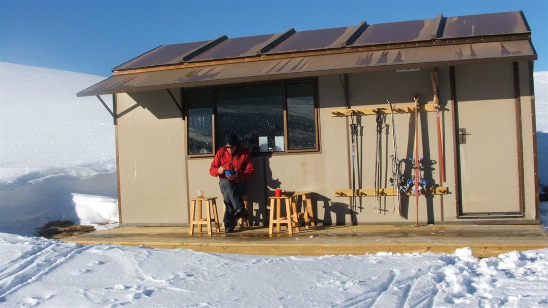
Kirtle Burn Hut
Standard • 7 bunks • Otago • 10.1 km
Kirtle Burn Hut is a standard seven-bunk hut located in the Wanaka/Makarora area of Otago.
Mattresses • Toilets - non-flush • Water from stream
Walks nearby
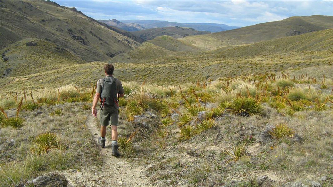
Roaring Meg Pack Track
Advanced • 7 hr one way • 18 km • 8.05 km away
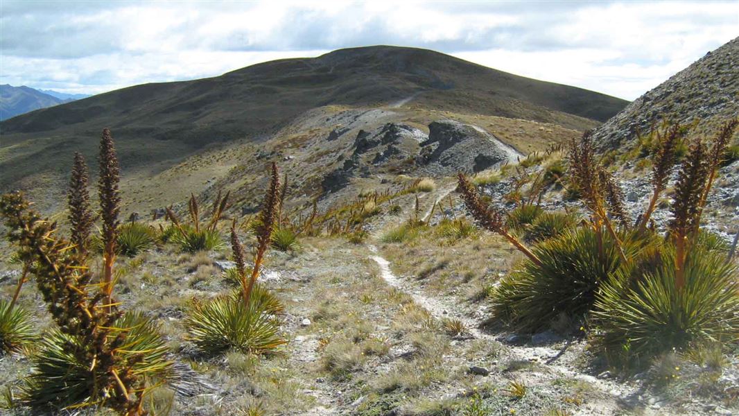
Crown Range Road summit to Tuohys Gully
Advanced • 7 hr one way • 21 km • 9.38 km away
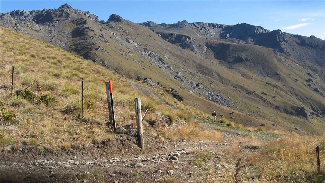
Tinwald Burn Ridge Track
Intermediate • 8 hr return • 20.36 km • 10.03 km away
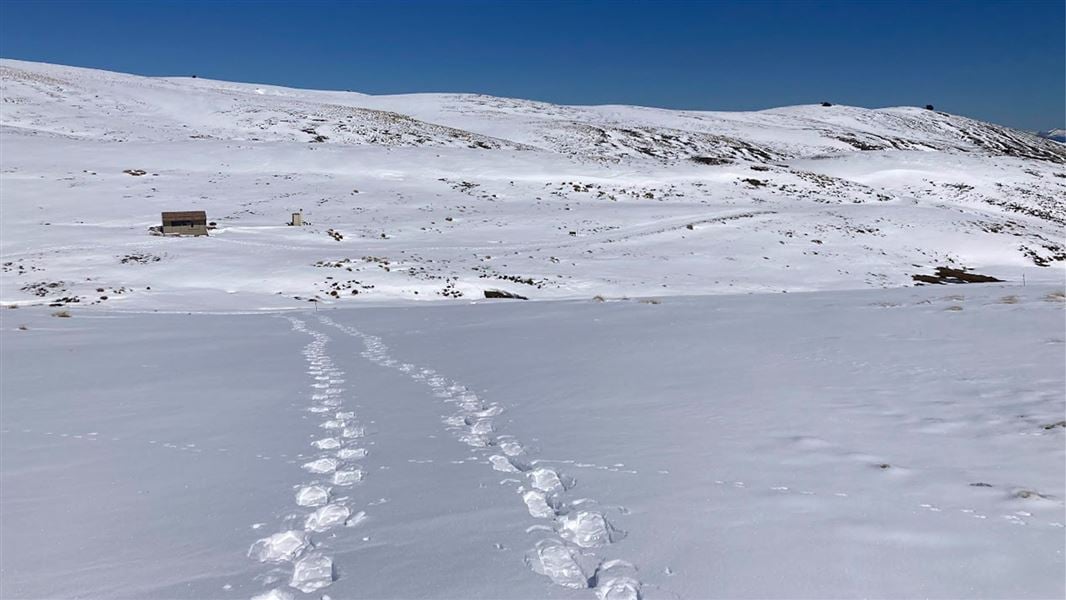
Kirtle Burn Track
Intermediate • 6 hr return • 12.38 km • 10.29 km away
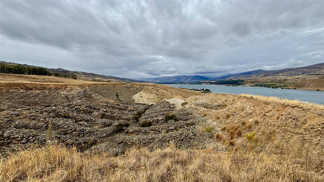
Quartz Reef Point Walk
Easy • 30 min • 10.36 km away
Notes from people who have been
No notes yet. If you have been, say what you found.
Something missing or out of date?
Closed, moved, wrong facts, or something we have missed? Travellers keep the Road Guide up to date. Tell us what you found at contribute@parkup.nz and we will check it and add it.
Ask us to take this down
A person reads every request. We do not remove a place until we have checked it.
Sources
- OpenStreetMap Huts · ODbL (Open Database License)Contains information from OpenStreetMap, made available under the ODbL.