Meg Hut
Standard hutPisa Conservation Area, OtagoOpen
- Sleeps
- 8 bunks
- Booking
- Not bookable
- Cost
- from $15
- Heating
- Yes
- Drinking water
- Not drinkable
- Toilet
- Non-flush
Getting there
We have not checked a road end or car park for this place yet, so we do not give driving directions to it. Check how to get there before you go. Some routes cross private land and need the landowner's permission.
How to get there, on doc.govt.nz- Topo map
- Topo50 sheet CB12
- Grid reference
- E1288651, N5018955
Source: DOC Te Papa Atawhai.
Map and tracks
Track lines: DOC Te Papa Atawhai. Map data © OpenStreetMap contributors. Topo map: LINZ, CC BY 4.0. 44.91608° S, 169.05634° E
About this place
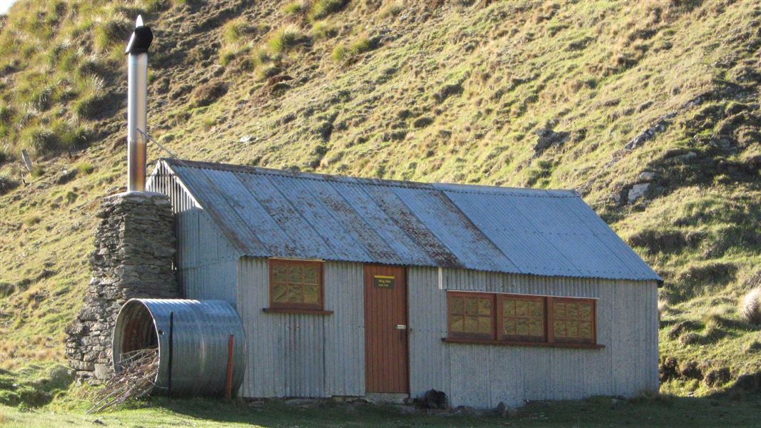
This is a standard eight-bunk hut in the Pisa Conservation Area.
On the way here
Cardrona-Cromwell Pack Track · 9–12 hr one way
Tuohys Gully carpark to Meg Hut
Time: 2–3 hr
km From Tuohys Gully carpark, follow a 4WD track climbing steadily up to Tuohys Saddle (1,140 m). At the top, the track forks. At the top, follow the track to the left to descend 200 m to Meg Hut (960 m).
Meg Hut to Deep Creek Hut
Time: 3–4 hr
km Just after reaching Meg Hut you will have to cross the Roaring Meg stream – this may be impassable during or after heavy rain. After Meg Hut on the other side of the stream, the poled track goes through golden tussock grasslands. It then follows one of the area’s many prominent ridgelines, rising above 1,400 m. The track continues alongside an old water race and goes through some side creeks. You then descend a 4WD road to the Deep Creek Hut (1,325 m).
Source: DOC Te Papa Atawhai.
Trip options
Walking times come from DOC track descriptions, added up leg by leg from car-accessible trailheads. Nights and return times are ParkUp estimates, allowing about 8 hours of walking a day.
2 options · 1 to 2 nights
Tuohys Gully carpark
Walking in
3 hr
Walking out
3 hr to Tuohys Gully carpark
Walking in
3 hr
Walking out
9 hr to Lowburn (via Deep Creek Hut)
Source: DOC Te Papa Atawhai track descriptions.
Fees and bookings
Before you go, buy Hut Tickets for each night's stay. Put these in the honesty box at the hut. Or buy a Backcountry Hut Pass that gives unlimited use at most Standard and Serviced huts for a 12 month period. Retailers that sell hut tickets and passes
Source: DOC Te Papa Atawhai.
On these tracks
Source: DOC Te Papa Atawhai.
Nearby stops
Deep Creek Hut
Otago • 6.8 km
Deep Creek Hut is a backcountry hut located in the Otago region of New Zealand. It provides basic shelter for hikers and tramping parties exploring the…
Miners Hut
Otago • 1.5 km
Miners Hut is a basic shelter located in the Otago region. The available records provide no further details regarding its specific facilities or condition.
Meadow Hut
Otago • 6.9 km
Musterers Hut
Otago • 7.2 km
Musterers Hut is a backcountry hut located in the Otago region of New Zealand. The provided data does not include specific details regarding its facilities,…
Bob Lee Hut
Otago • 7.6 km
Bob Lee Hut is a backcountry hut located in the Otago region of New Zealand. The provided records do not include specific details regarding its facilities or…
Walks nearby
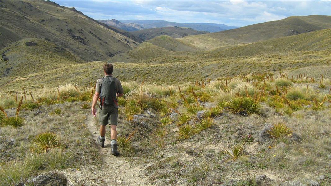
Roaring Meg Pack Track
Advanced • 7 hr one way • 18 km • 1.37 km away
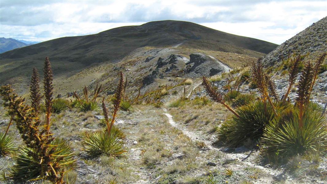
Crown Range Road summit to Tuohys Gully
Advanced • 7 hr one way • 21 km • 5.49 km away
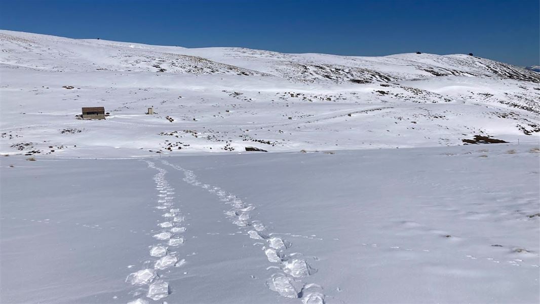
Kirtle Burn Track
Intermediate • 6 hr return • 12.38 km • 8.88 km away
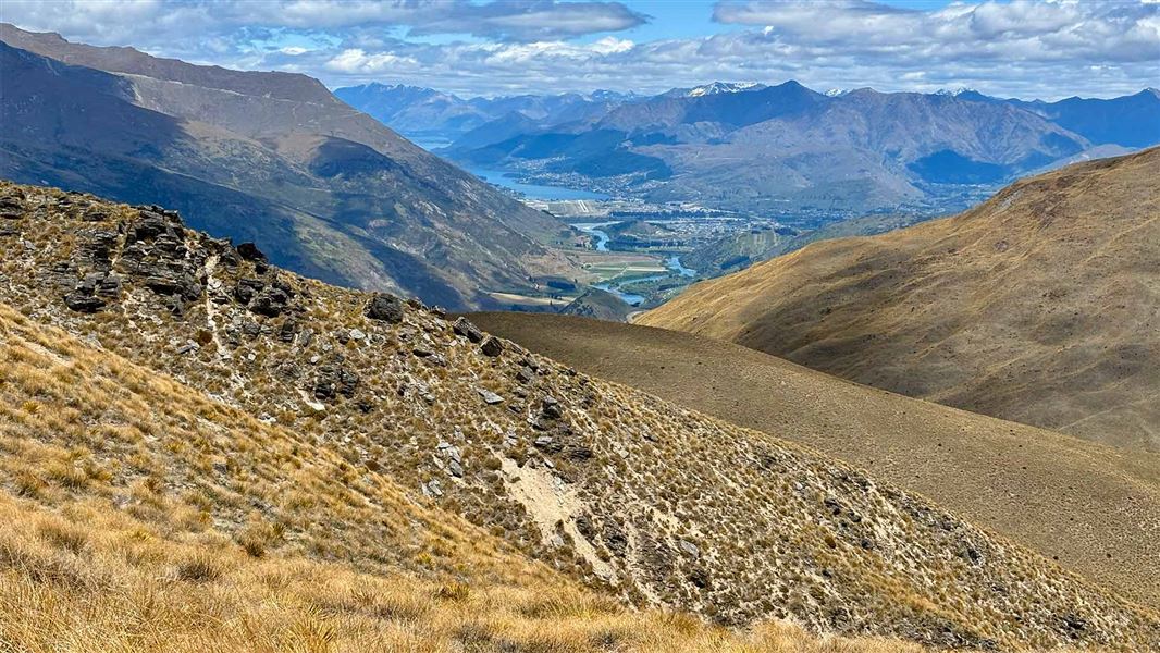
Rock Peak Track
Easy • 1 hr 30 min one way • 11.59 km away
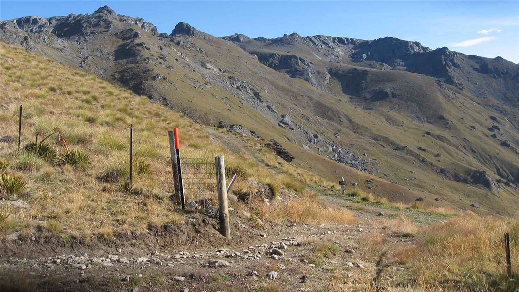
Tinwald Burn Ridge Track
Intermediate • 8 hr return • 20.36 km • 12.56 km away
Contact
Wānaka Tititea/Mount Aspiring National Park
Regional DOC service centre.
Notes from people who have been
No notes yet. If you have been, say what you found.
Something missing or out of date?
Closed, moved, wrong facts, or something we have missed? Travellers keep the Road Guide up to date. Tell us what you found at contribute@parkup.nz and we will check it and add it.
Ask us to take this down
A person reads every request. We do not remove a place until we have checked it.
Sources
- DOC Huts · CC BY 4.0Data sourced from the Department of Conservation (DOC), New Zealand.
- OpenStreetMap Huts · ODbL (Open Database License)Contains information from OpenStreetMap, made available under the ODbL.
- DOC Huts (API) · CC BY 4.0Crown Copyright: Department of Conservation Te Papa Atawhai. Data sourced from the DOC Developer Portal (api.doc.govt.nz).