Peregrine Loop Track
WalkOtago
- Grade
- Easy
- Walking time
- 1 hr
- Distance
- 2.7 km
- Dogs
- On a lead
Getting there
We have not checked a road end or car park for this place yet, so we do not give driving directions to it. Check how to get there before you go. Some routes cross private land and need the landowner's permission.
How to get there, on doc.govt.nzStart the track from Peregrine Winery, just outside Gibbston on SH6.
Source: DOC Te Papa Atawhai.
Map
Map data © OpenStreetMap contributors. Topo map: LINZ, CC BY 4.0. 45.02002° S, 168.95643° E
About this place
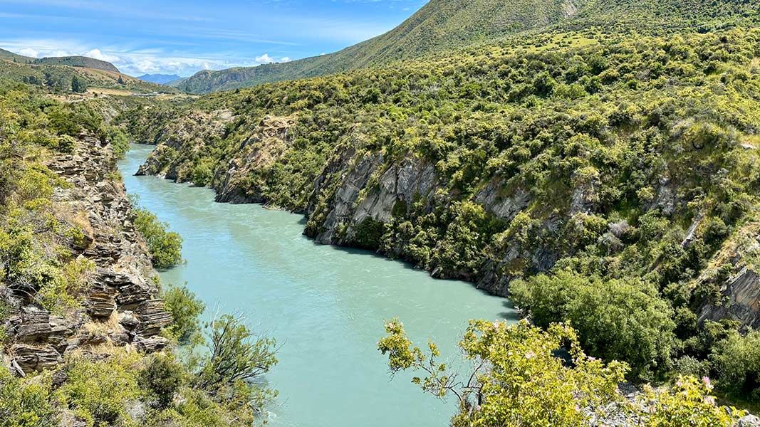
The Peregrine Loop Track is a walking and mountain biking track with excellent views of Kawarau Gorge and goldmining heritage sites.
The route
The Peregrine loop track is best started from the Peregrine Winery and can be tackled in either direction. As the track heads away from the Peregrine Winery it traverses river terraces where traces of historic gold workings can be observed. It then descends steeply towards the lower river terraces for some time, before climbing back to the higher top terrace and looping back to the winery carpark. As the track meanders along the upper and lower river terraces, many points of interest are highlighted along the way by interpretation signs. Take the time to stop and learn of the history, landscape and ecology of this interesting site. Along the way the track crosses 11 arched timber bridges to protect archaeological sites dating from the earliest days of Otago's mining era. This includes a collapsed mining tunnel and several large tailraces. Two steel truss bridges cross the deep chasm of Camp Creek on the eastern end.
Source: DOC Te Papa Atawhai.
Know before you go
What to expect
steep uphill and downhill sections tight corners good signposting though patchy cell phone reception walkers (including dog-walkers) and bikers sharing the track hot and dry weather in summer; cold temperatures and chance of ice in winter.
Skills/experience needed
Peregrine Loop Track is a Grade 4–5 advanced mountain biking track with exposed sections and tight switchbacks. If you are not comfortable riding an advanced trail, stay on the wider Grade 2 sections of the Queenstown Trail.
Plan and prepare
If you are riding the track, choose a mountain bike or gravel bike rather than a road bike. Watch children closely, as there are several steep drops and exposed sections close to the track edge. Pack water, sunscreen, sunglasses, and a sunhat (for walkers) or a helmet visor (for bikers) in summer. In winter, carry plenty of warm and waterproof clothing, and footwear with good grip – it gets very cold and potentially icy in winter. You can combine this trail with other nearby bike trails for a longer ride. It is connected to, but not part of, the Queenstown Trail Great Ride . Visit the site for more information and trail updates.
Source: DOC Te Papa Atawhai.
Nearby stops
Rum Currie's Hut
Otago • 0.4 km
Rum Curries, Rafters Road
Otago • 0.4 km
Rum Curries is by Rafters Road in Gibbston.
Crown Range Summit
Otago • 3.4 km
Crown Range Summit is on Crown Range Road in Queenstown-Lakes District. Freedom camping is for self-contained motor vehicles only, with a maximum of two nights…
Kawarau Bridge Freedom Camping Area
Otago • 4.4 km
Kawarau Bridge Freedom Camping Area is a campsite located in the Otago region. The provided data does not list specific facilities or additional details for…
Kawarau Historic Bridge Carparks
Otago • 4.4 km
Kawarau Historic Bridge car park is on Gibbston Highway in Gibbston.
Walks nearby
Rock Peak Track
Easy • 1 hr 30 min one way • 3.23 km away
Glenroy Water Race Track
Advanced • 8 hr • 5.81 km away
Crown Range Road summit to Tuohys Gully
Advanced • 7 hr one way • 21 km • 8.85 km away
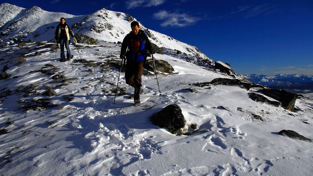
Lake Alta Track
Advanced • 1 hr 30 min • 2.4 km • 11.83 km away
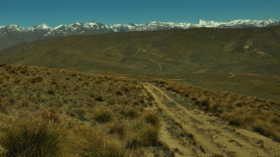
Slapjack Saddle Track
Easy • 6 hr one way • 24.5 km one way • 12.09 km away
Notes from people who have been
No notes yet. If you have been, say what you found.
Something missing or out of date?
Closed, moved, wrong facts, or something we have missed? Travellers keep the Road Guide up to date. Tell us what you found at contribute@parkup.nz and we will check it and add it.
Ask us to take this down
A person reads every request. We do not remove a place until we have checked it.
Sources
- DOC Tracks (API) · CC BY 4.0Crown Copyright: Department of Conservation Te Papa Atawhai. Data sourced from the DOC Developer Portal (api.doc.govt.nz).