Glenroy Water Race Track
WalkOtagoOpen
- Grade
- Advanced
- Walking time
- 8 hr
- Route
- Return
- Biking time
- Over 4 hours
- Dogs
- No dogs
Getting there
We have not checked a road end or car park for this place yet, so we do not give driving directions to it. Check how to get there before you go. Some routes cross private land and need the landowner's permission.
How to get there, on doc.govt.nzThis track begins at the end of Coal Pit Saddle Road.
Source: DOC Te Papa Atawhai.
Map
Map data © OpenStreetMap contributors. Topo map: LINZ, CC BY 4.0. 45.06662° S, 168.92311° E
About this place
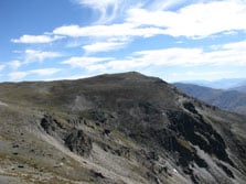
The track follows the historic Welshmen’s Water Race through several creeks, then steadily climbs to Ben Cruachan with good views of Lake Wakatipu, the Basin and Nevis Bluff.
The route
From the Coal Pit Rd car park, the route follows the historic Welshmen’s Water Race through several creeks, then steadily climbs to the Remarkables Conservation Area boundary. The route then follows Mt Salmond Ridge to Ben Cruachan to give good views of Lake Wakatipu, the Basin and Nevis Bluff. The water race was built by Welshmen for what were unsuccessful gold mining operations around Gibbston. Crosses private land.
Source: DOC Te Papa Atawhai.
Nearby stops

Racemans Hut
Basic/bivvies • 2 bunks • Otago • 4.3 km
Racemans Hut is an historic two-bunk hut located in the Queenstown area of Otago.
Toilets - non-flush • Water from stream • Water supply
Rum Curries, Rafters Road
Otago • 5.9 km
Rum Curries is by Rafters Road in Gibbston.
Rum Currie's Hut
Otago • 6 km
Kawarau Bridge Freedom Camping Area
Otago • 6.5 km
Kawarau Bridge Freedom Camping Area is a campsite located in the Otago region. The provided data does not list specific facilities or additional details for…
Kawarau Historic Bridge Carparks
Otago • 6.5 km
Kawarau Historic Bridge car park is on Gibbston Highway in Gibbston.
Walks nearby
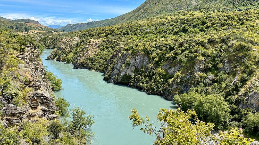
Peregrine Loop Track
Easy • 1 hr return • 2.7 km • 5.81 km away
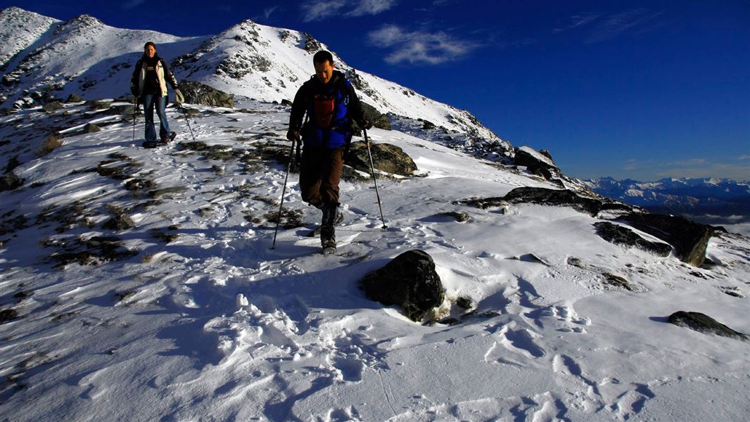
Lake Alta Track
Advanced • 1 hr 30 min • 2.4 km • 8.38 km away
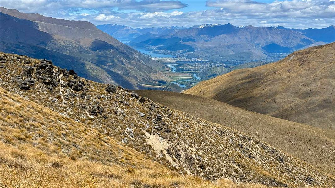
Rock Peak Track
Easy • 1 hr 30 min one way • 8.75 km away
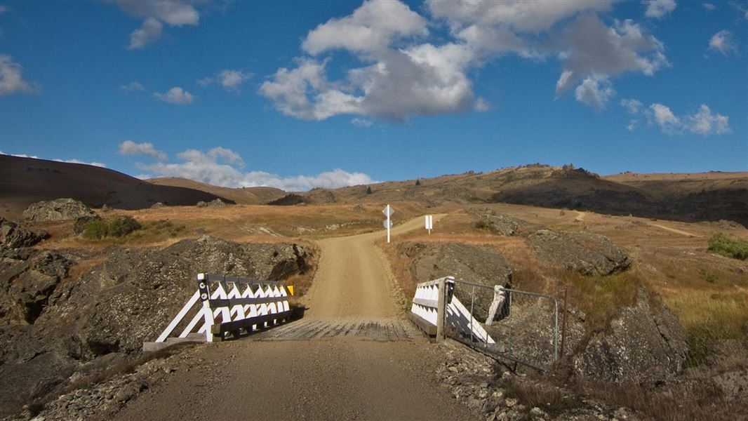
Nevis Valley tracks
Advanced • Various times over 4 hr return • 11.07 km away
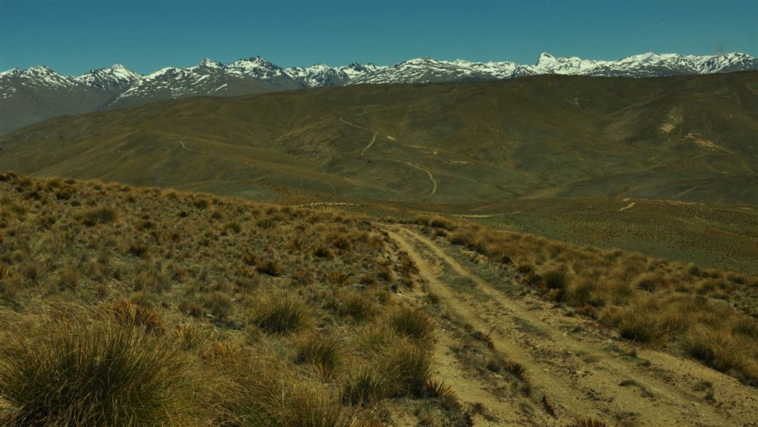
Slapjack Saddle Track
Easy • 6 hr one way • 24.5 km one way • 11.41 km away
Something missing or out of date?
Closed, moved, wrong facts, or something we have missed? Travellers keep the Road Guide up to date. Tell us what you found at contribute@parkup.nz and we will check it and add it.
Ask us to take this down
A person reads every request. We do not remove a place until we have checked it.
Sources
- DOC Tracks & Trails · CC BY 4.0Data sourced from the Department of Conservation (DOC), New Zealand.
- DOC Tracks (API) · CC BY 4.0Crown Copyright: Department of Conservation Te Papa Atawhai. Data sourced from the DOC Developer Portal (api.doc.govt.nz).