Mt Holdsworth - Jumbo Circuit
WalkWellington
- Grade
- Intermediate
- Walking time
- 3 days
- Distance
- 24 km
- Dogs
- Under control
Getting there
We have not checked a road end or car park for this place yet, so we do not give driving directions to it. Check how to get there before you go. Some routes cross private land and need the landowner's permission.
How to get there, on doc.govt.nzTurn off State Highway 2 onto Norfolk Road, 2 km south of Masterton. This is signposted and there is a timber processing plant on the corner. Follow Norfolk Road 15 km to Holdsworth road end.
Daily rail and regular bus services operate between Wellington and Masterton. Taxis, or for large parties prebooked buses, can be hired for travel between Masterton and Holdsworth.
There is a large carpark at the Mount Holdworth Road end, which services the entry to the Tararua Forest Park.
Source: DOC Te Papa Atawhai.
Map and tracks
Track lines: DOC Te Papa Atawhai. Map data © OpenStreetMap contributors. Topo map: LINZ, CC BY 4.0. 40.88122° S, 175.44860° E
About this place
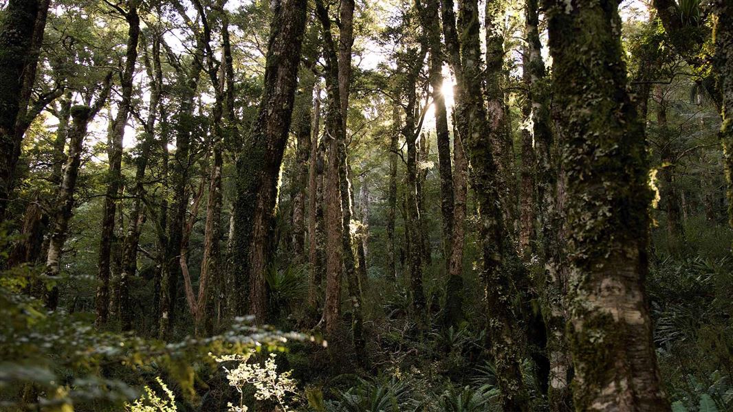
The classic Mt Holdsworth - Jumbo Circuit is a 2 to 3 day tramp involving a climb through beech-podocarp forest to some of the best alpine tops travel in the Tararua Forest Park.
The route
The loop track is described walking from Holdsworth road end to Powell Hut, Mt Holdsworth, Jumbo Hut, returning to the road end via the Atiwhakatu track.
Holdsworth Lodge - Powell Hut
Time: 4 hr
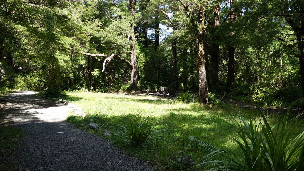
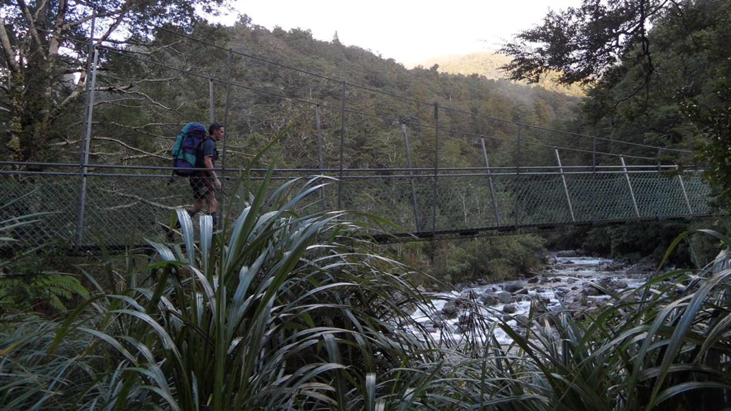
Starting from Holdsworth Lodge, carry on along the gravel track, cross the bridge over the Atiwhakatu Stream and follow the Gentle Annie track to Mountain House Shelter. This track is well graded and offers several lookout points to Mounts Holdsworth and Jumbo - for a short side trip follow the signpost to the Rocky Lookout, which offers good views over the Wairarapa. Mountain House Shelter is a pleasant resting spot. Past Mountain House Shelter the track climbs steeply through dense bush and out onto the open tops. Powell Hut is located on the bush edge.
Powell Hut - Jumbo Hut
Time: 4 hr
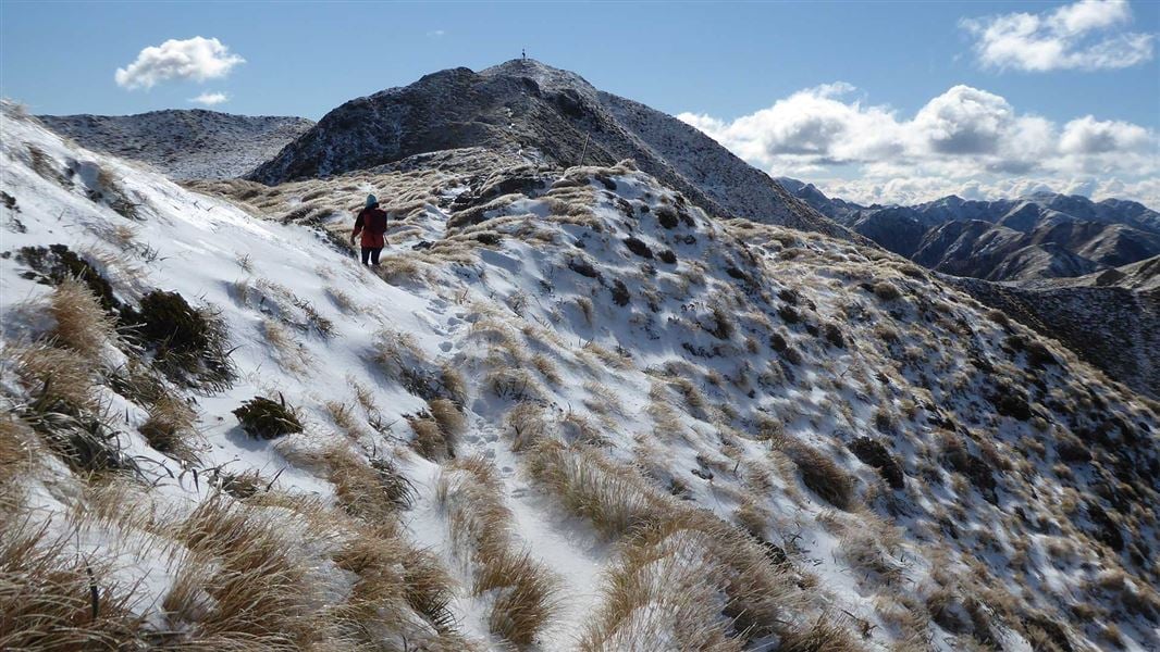
Follow the track leading north-east along the main ridge to the Mt Holdsworth trig (1470 m). Follow the exposed ridge north to Jumbo Peak (1405 m). The track then descends east along a spur to Jumbo Hut. Caution: Beware of high winds, mist and icy underfoot conditions on all country above the bushline. The open tops are often not marked and difficult to negotiate in misty conditions. Those tramps should only be attempted by experienced trampers.
Jumbo Hut - Holdsworth Lodge
Time: 5–6 hr
The main track to Atiwhakatu Hut is via Raingauge Spur. Descend on the benched track immediately below Jumbo Hut. Once in the bush, follow the track down Raingauge Spur to Atiwhakatu Hut. A rain gauge was once located in a clearing half- way down the ridge. There is a section of re-routed track subsiding on this section of the circuit. Proceed with caution when walking along this slip section. The track from Jumbo Hut to Atiwhakatu Hut is rougher than the track from the Holdsworth road end to Powell Hut and Atiwhakatu Track. Expect an uneven, steep and muddy track with slippery sections and tree roots. We recommend sturdy footwear with good grip. From Atiwhakatu Hut, follow the Atiwhakatu track to Holdsworth Lodge.
Mt Holdsworth-Jumbo Circuit virtual guide
Watch a NZ Mountain Safety Council video.
Source: DOC Te Papa Atawhai.
Know before you go
What to expect
The section of track between Powell and Jumbo Huts experiences frequent strong winds, thick mist, freezing temperatures and rain/snow. Be prepared to encounter these conditions at any time of year, even if the weather looks nice in the morning. The track is generally formed, but you will need to clamber over tree routes and go through rough and muddy sections.
Think carefully about whether to cross the tops and be open to turning back
When the weather turns bad, the route between Powell and Jumbo Huts becomes very challenging and potentially deadly. Thick mist makes navigation difficult and wind, rain and cold can quickly cause hypothermia. Know your limits Before leaving Powell/Jumbo Hut to cross the tops, look carefully at the weather and assess whether you have the experience and equipment for the conditions. If in doubt, wait for the weather to improve or turn back and save the alpine section for another day. This photo was taken on Jumbo near the turnoff to Mt Holdsworth. Image: Tony Graham ©
Plan and prepare for your trip
Powell Hut forecast When packing, take plenty of warm and waterproof clothing and we recommend an emergency shelter and distress beacon. Pack a map and compass or GPS and know how to use them. Walking poles may help keep you steady. Full gear list If you are trail running the track, you still need to be prepared for bad weather .
Source: DOC Te Papa Atawhai.
Joins these tracks
Source: DOC Te Papa Atawhai.
On this track
In walking order.


Nearby stops
Donnellys Flat
Wellington • 2.6 km

Holdsworth Campsite
Standard • Wellington • 3.9 km
Holdsworth Campsite is located at the eastern entrance of the park beneath the Tararua Ranges. The area offers opportunities for walks, fishing, and swimming,…
Fire pit/place for campfires (except in fire bans) • Non-powered/tent sites • Shelter for cooking

Mid Waiohine Hut
Standard • 6 bunks • Wellington • 5.7 km
Mid Waiohine Hut is a standard six-bunk hut located in the Wairarapa region.
Heating • Mattresses • Toilets - non-flush

Mid King Bivvy
Basic/bivvies • 2 bunks • Wellington • 6 km
Mid King Bivvy is a basic two-bunk hut located in the Wairarapa region.
Toilets - non-flush • Water from stream • Water supply

Mitre Flats Hut
Standard • 14 bunks • Wellington • 6.2 km
Mitre Flats Hut is a standard 14-bunk hut located in the Wairarapa region.
Heating • Mattresses • Toilets - non-flush
Walks nearby
Notes from people who have been
No notes yet. If you have been, say what you found.
Something missing or out of date?
Closed, moved, wrong facts, or something we have missed? Travellers keep the Road Guide up to date. Tell us what you found at contribute@parkup.nz and we will check it and add it.
Ask us to take this down
A person reads every request. We do not remove a place until we have checked it.
Sources
- DOC Tracks (API) · CC BY 4.0Crown Copyright: Department of Conservation Te Papa Atawhai. Data sourced from the DOC Developer Portal (api.doc.govt.nz).
- OpenStreetMap Trails · ODbL (Open Database License)Contains information from OpenStreetMap, made available under the ODbL.