Mitre Peak Track
WalkWellingtonOpen
- Grade
- Advanced
- Distance
- 2.66 km (to bush line)
- Dogs
- Under control
Getting there
We have not checked a road end or car park for this place yet, so we do not give driving directions to it. Check how to get there before you go. Some routes cross private land and need the landowner's permission.
How to get there, on doc.govt.nzThe track begins from Mitre Flats Hut. The most direct route is via the Mitre Flats Track (Barra Track). Mitre Flats can also be accessed via Waingawa River Track or Barton Track.
Source: DOC Te Papa Atawhai.
Map
Map data © OpenStreetMap contributors. Topo map: LINZ, CC BY 4.0. 40.82016° S, 175.47363° E
Got a good photo of this place? Send it to us and we will show it with your name.
About this place
Tramp from Mitre Flats to the bush line of Pukeamoamo/Mitre Peak.
The route
Mitre Peak Track begins a few minutes downstream of Mitre Flats Hut. The track climbs all the way to the bush line on Pukeamoamo / Mitre. The track ends at the bush line, with beautiful views across the Wairarapa plains. The track is a typical backcountry track, so expect to scramble over and up tree roots and fallen trees/branches. Carry plenty of water. As it is a steady climb, plan plenty of time in case it takes longer than expected. There is no marked DOC route beyond the bush line. Conditions above the bush line can be extremely challenging during bad weather – gale winds, very low visibility and freezing temperatures. Alpine, off-track tramping requires good conditions, backcountry tramping and off-track navigation experience, and being well-equipped. The summit of Pukeamoamo / Mitre is a double peak – Mitre at 1571 m and Peggys Peak at 1545 m.
Source: DOC Te Papa Atawhai.
Know before you go
Expect a backcountry tramping track
This track is a typical Tararua backcountry tramping track. It is rough and uneven, and you can expect to be scrambling up and over tree roots. Pack plenty of water and food, and plan extra time into your day in case it takes longer than you expect.
Think carefully about whether you have the skills to go beyond the bush line
Bad weather including whiteout conditions is common and makes navigation very difficult. Make sure you have the tramping and navigation skills if you want to attempt to climb Pukeamoamo / Mitre.
Pack for bad weather
The Tararua Ranges are well known for their wild, fast-changing and unpredictable weather. Anytime you go into the Tararua Forest Park, pack warm and waterproof clothing (even if the forecast is good). Carry a distress beacon and an emergency shelter. Find a tramping packing list here.
Source: DOC Te Papa Atawhai.
Nearby stops

Mitre Flats Hut
Standard • 14 bunks • Wellington • 1.2 km
Mitre Flats Hut is a standard 14-bunk hut located in the Wairarapa region.
Heating • Mattresses • Toilets - non-flush

Mid King Bivvy
Basic/bivvies • 2 bunks • Wellington • 2.3 km
Mid King Bivvy is a basic two-bunk hut located in the Wairarapa region.
Toilets - non-flush • Water from stream • Water supply

Dorset Ridge Hut
Standard • 6 bunks • Wellington • 4.5 km
Dorset Ridge Hut is a standard six-bunk hut located in the Wairarapa region of Wellington.
Heating • Mattresses • Toilets - non-flush

Tarn Ridge Hut
Standard • 16 bunks • Wellington • 4.6 km
Tarn Ridge Hut is a basic shelter in the Wairarapa region that offers protection from the elements. It sustained water damage from a storm in 2020, so the…
Heating • Mattresses • Toilets - non-flush

Jumbo Hut
Serviced • 20 bunks • Wellington • 4.7 km
Jumbo Hut is a serviced 20-bunk hut located in the Wairarapa region of Wellington.
Cooking • Heating • Mattresses
Walks nearby
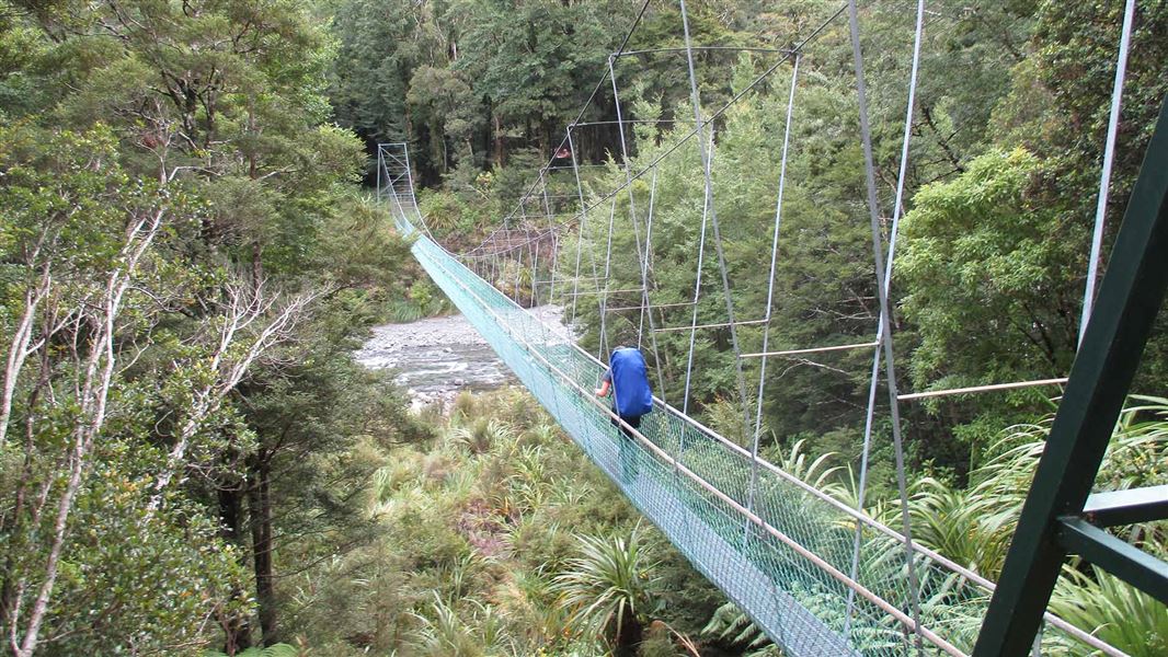
Waingawa River Track (Mitre Flats to Cow Creek)
Advanced • 3 hr 30 min • 7.3 km • 2.32 km away
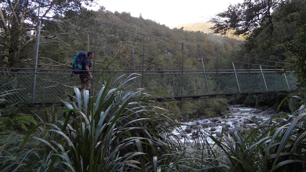
Mitre Flats Track
Advanced • 8 - 9 hr return • 8.2 km • 4.09 km away
Blue Range to Cow Creek Hut Track
Advanced • 3 hr • 5 km • 4.2 km away
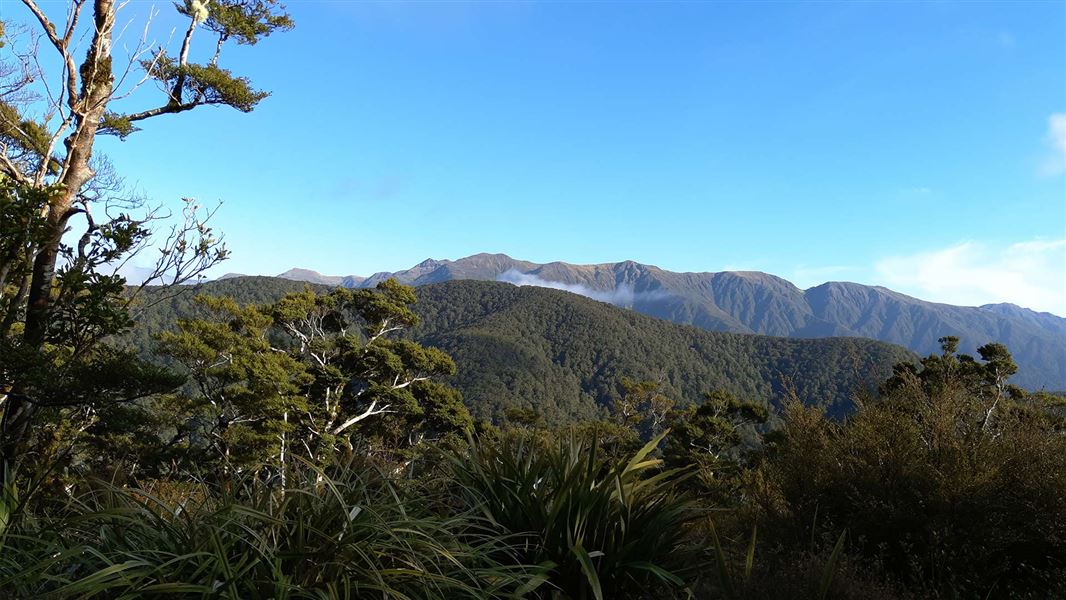
Kiriwhakapapa to Blue Range Hut
Advanced • 2-3 hr • 3.36 km • 5.13 km away
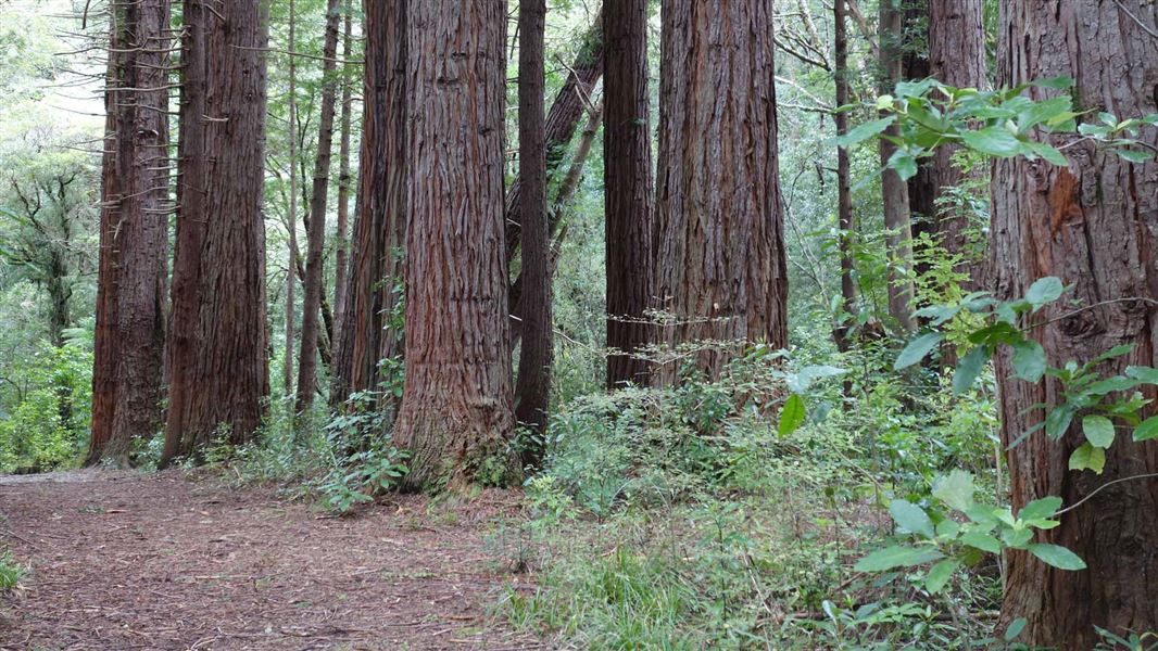
Kiriwhakapapa Loop Track
Easy • 1 hr • 2 km • 5.85 km away
Notes from people who have been
No notes yet. If you have been, say what you found.
Something missing or out of date?
Closed, moved, wrong facts, or something we have missed? Travellers keep the Road Guide up to date. Tell us what you found at contribute@parkup.nz and we will check it and add it.
Ask us to take this down
A person reads every request. We do not remove a place until we have checked it.
Sources
- DOC Tracks & Trails · CC BY 4.0Data sourced from the Department of Conservation (DOC), New Zealand.
- DOC Tracks (API) · CC BY 4.0Crown Copyright: Department of Conservation Te Papa Atawhai. Data sourced from the DOC Developer Portal (api.doc.govt.nz).