Donnelly Flat Loop Walk
WalkWellingtonOpen
- Grade
- Easy
- Walking time
- 1 hr
- Distance
- 2.5 km
- Route
- Loop
- Dogs
- Under control
Getting there
We have not checked a road end or car park for this place yet, so we do not give driving directions to it. Check how to get there before you go. Some routes cross private land and need the landowner's permission.
How to get there, on doc.govt.nzThe track starts from the end of Mount Holdsworth Road.
2 km south of Masterton, turn off SH2 into Norfolk Road, which turns into Mt Holdsworth Road. Follow signs to Tararua Forest Park, about 15 km from SH2.
Source: DOC Te Papa Atawhai.
Map
Map data © OpenStreetMap contributors. Topo map: LINZ, CC BY 4.0. 40.90209° S, 175.46956° E
About this place
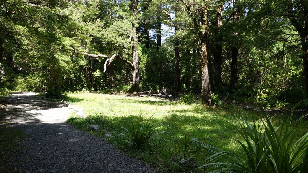
The track to Donnelly Flat passes through some of the best mixed podocarp/broadleaf forest in the Tararua Range - this short, easy walk with a picnic area and stream on route is an great option for kids.
The route
Cross the Atiwhakatu footbridge and follow the relatively flat track to Donnelly Flat – an attractive picnic area and campsite with access to Atiwhatatu Stream. From here the track continues to the Atiwhakatu Track junction, and loops back to the Holdsworth car park via the foot of the Gentle Annie Track.
Source: DOC Te Papa Atawhai.
Know before you go
No mountain biking
Mountain biking is not allowed on this track. Find places where you can mountain bike .
Source: DOC Te Papa Atawhai.
Nearby stops
Donnellys Flat
Wellington • 0.3 km
Holdsworth Lodge
28 bunks • Wellington • 0.8 km
Holdsworth Lodge is a hut in the Wellington region suitable for families and groups. It also serves as a starting point for the first night of a tramp into the…

Holdsworth Campsite
Standard • Wellington • 1 km
Holdsworth Campsite is located at the eastern entrance of the park beneath the Tararua Ranges. The area offers opportunities for walks, fishing, and swimming,…
Fire pit/place for campfires (except in fire bans) • Non-powered/tent sites • Shelter for cooking

Atiwhakatu Hut
Standard • 26 bunks • Wellington • 4 km
Atiwhakatu Hut is a standard 26-bunk hut located in the Wairarapa area of the Wellington region.
Heating • Mattresses • Toilets - non-flush

Powell Hut
Serviced • 32 bunks • Wellington • 4.3 km
Powell Hut is a serviced 32-bunk hut located in the Wairarapa area of the Wellington region.
Cooking • Heating • Mattresses
Walks nearby
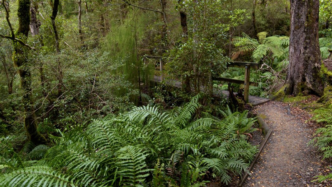
Gentle Annie Track
Easy • 3 hr 30 min - 4 hr return • 4.5 km • 1.67 km away
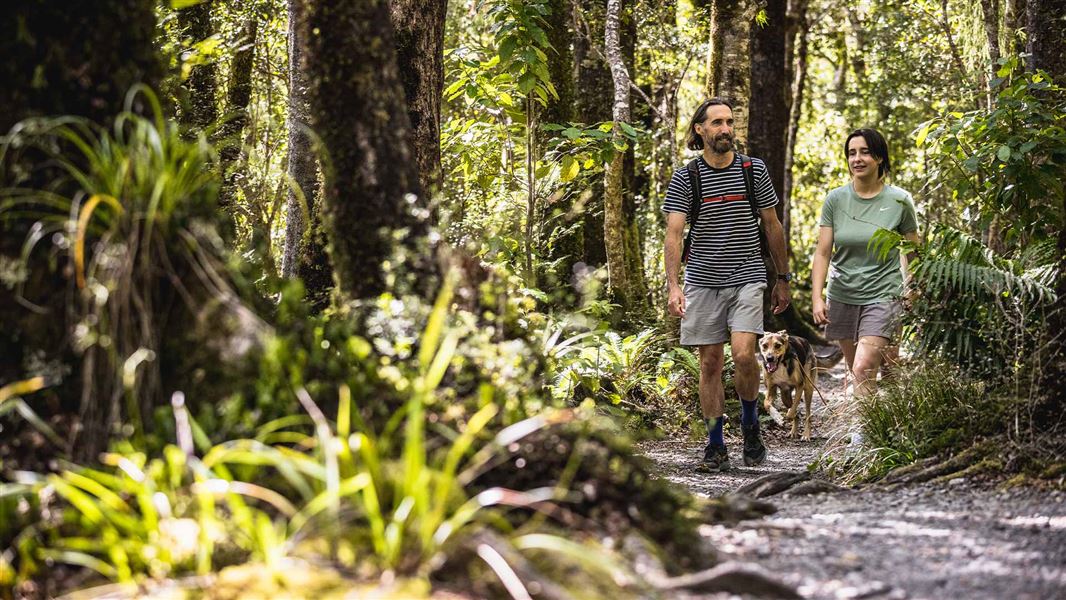
Atiwhakatu Track
Easy • 2-3 hr one way • 7.2 km • 2.3 km away
River Ridge Track
Advanced • 2 hr • 1.7 km • 2.71 km away
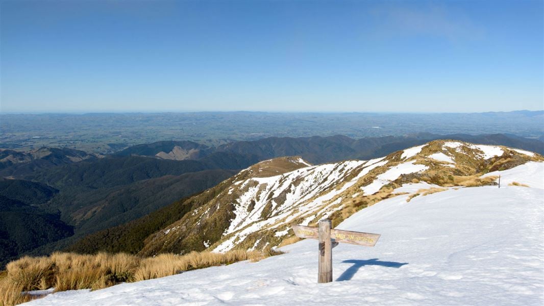
Holdsworth road end to Powell Hut/Mount Holdsworth
Intermediate • Powell Hut: 5 hr one way, Mount Holdsworth: 6 hr one way • 2.9 km away
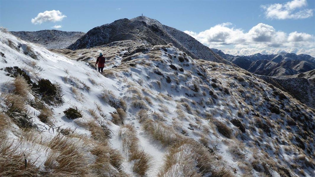
Mt Holdsworth - Jumbo Circuit
Intermediate • 2–3 days • 24 km • 2.91 km away
Notes from people who have been
No notes yet. If you have been, say what you found.
Something missing or out of date?
Closed, moved, wrong facts, or something we have missed? Travellers keep the Road Guide up to date. Tell us what you found at contribute@parkup.nz and we will check it and add it.
Ask us to take this down
A person reads every request. We do not remove a place until we have checked it.
Sources
- DOC Tracks (API) · CC BY 4.0Crown Copyright: Department of Conservation Te Papa Atawhai. Data sourced from the DOC Developer Portal (api.doc.govt.nz).
- DOC Tracks & Trails · CC BY 4.0Data sourced from the Department of Conservation (DOC), New Zealand.