Atiwhakatu Hut
Standard hutHoldsworth area, WellingtonOpen
Current advisories
Atiwhakatu Track active slip
03 August 2026
There is an active slip on this track. The slip impacts access to Atiwhakatu Hut, and Jumbo Hut if accessing Jumbo Hut via Atiwhakatu Track. Avoid this area during heavy rain. View a map showing location of slip (JPEG, 108K) First published on 23 October 2025. Last reviewed on 4 August 2026.
Predator control for part of Tararua Forest Park
02 June 2026
We distributed toxic bait pellets containing 1080 by helicopter on 19 May 2026. A caution period is in place for approximately 8 months. Visitors are advised not to take dogs into the area until the caution period has ended. 1080 is deadly to dogs. How to keep dogs safe around 1080 . This operation is part of DOC's National Predator Control Programme to protect native species. First published on 2 May 2026. Last reviewed on 3 June 2026.
Source: DOC Te Papa Atawhai alerts.
- Sleeps
- 26 bunks
- Booking
- Can book
- Cost
- from $15
- Heating
- Yes
- Drinking water
- Boil first
- Toilet
- Non-flush
Getting there
We have not checked a road end or car park for this place yet, so we do not give driving directions to it. Check how to get there before you go. Some routes cross private land and need the landowner's permission.
How to get there, on doc.govt.nzAtiwhakatu Hut is within easy reach of Mt Holdsworth Road end approximately 15 minutes drive from Masterton. Turn off State Highway 2 onto Norfolk Road, 2 km south of Masterton. This is signposted and there is a timber processing plant on the corner. Follow Norfolk Road for about 15 km to Mt Holdsworth Road end.
From the car park, follow the Atiwhakatu Track along Atiwhakatu Stream. There is a high, narrow wire swing bridge with a one person at a time restriction, as well as a section of track that crosses a slip where some scrambling is needed. There are also some steep drop-offs beside the track.
- Topo map
- Topo50 sheet BP34
- Grid reference
- E1806817, N5472972
Source: DOC Te Papa Atawhai.
Map and tracks
Track lines: DOC Te Papa Atawhai. Map data © OpenStreetMap contributors. Topo map: LINZ, CC BY 4.0. 40.86822° S, 175.45414° E
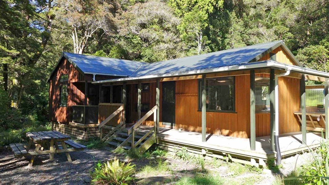
About this place
This is a standard 26-bunk hut in the Wairarapa area.
On the way here
Mt Holdsworth - Jumbo Circuit · 2–3 days
Jumbo Hut - Holdsworth Lodge
Time: 5–6 hr
The main track to Atiwhakatu Hut is via Raingauge Spur. Descend on the benched track immediately below Jumbo Hut. Once in the bush, follow the track down Raingauge Spur to Atiwhakatu Hut. A rain gauge was once located in a clearing half- way down the ridge. There is a section of re-routed track subsiding on this section of the circuit. Proceed with caution when walking along this slip section. The track from Jumbo Hut to Atiwhakatu Hut is rougher than the track from the Holdsworth road end to Powell Hut and Atiwhakatu Track. Expect an uneven, steep and muddy track with slippery sections and tree roots. We recommend sturdy footwear with good grip. From Atiwhakatu Hut, follow the Atiwhakatu track to Holdsworth Lodge.
Source: DOC Te Papa Atawhai.
Fees and bookings
Backcountry Hut Passes can be used at this hut. About hut tickets and passes Retailers that sell hut tickets and passes
Bookings are open for stays up to 30 June 2027. If no availability shows online for your dates, the hut is fully booked. No spaces are kept for visitors arriving without a booking. Phone and in‑person bookings made at a visitor centre incur a $10 service fee. Same‑day bookings are available online until 8 pm if spaces remain. Book Atiwhakatu Hut online . Your hut booking is for any bunk bed, not for a specific bunk bed – select your bunk bed on arrival.
Source: DOC Te Papa Atawhai.
On these tracks
Source: DOC Te Papa Atawhai.
Nearby stops

Jumbo Hut
Serviced • 20 bunks • Wellington • 2 km
Jumbo Hut is a serviced 20-bunk hut located in the Wairarapa region of Wellington.
Cooking • Heating • Mattresses

Powell Hut
Serviced • 32 bunks • Wellington • 3.1 km
Powell Hut is a serviced 32-bunk hut located in the Wairarapa area of the Wellington region.
Cooking • Heating • Mattresses
Holdsworth Lodge
28 bunks • Wellington • 4.7 km
Holdsworth Lodge is a hut in the Wellington region suitable for families and groups. It also serves as a starting point for the first night of a tramp into the…
Walks nearby
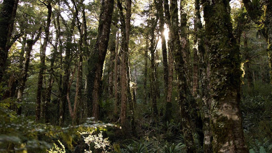
East Holdsworth Track
Advanced • 3.6 km • 1.6 km away
River Ridge Track
Advanced • 2 hr • 1.7 km • 2.83 km away
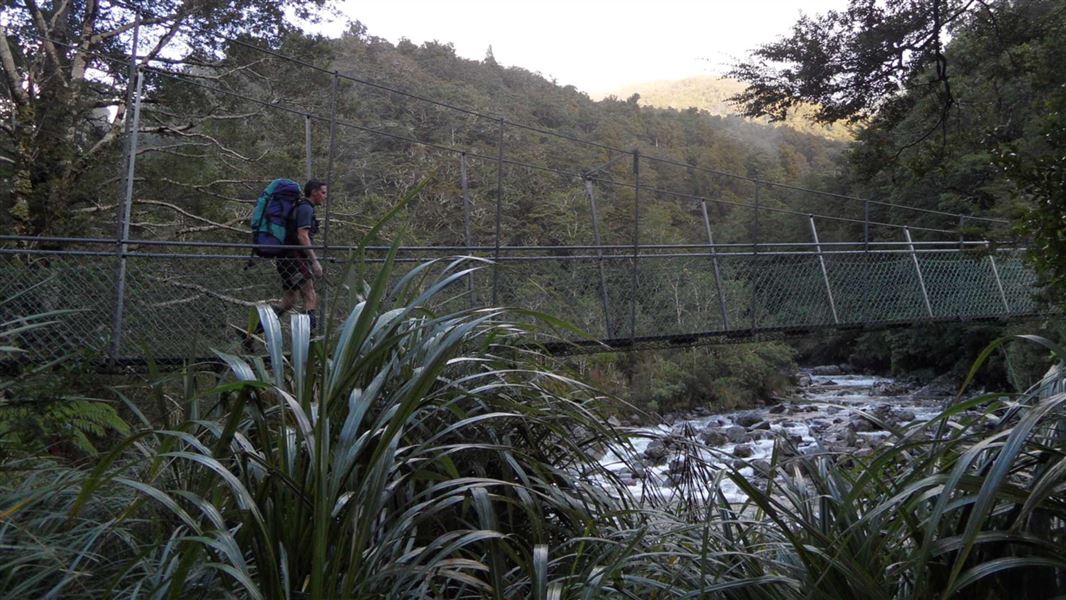
Mitre Flats Track
Advanced • 8 - 9 hr return • 8.2 km • 2.85 km away
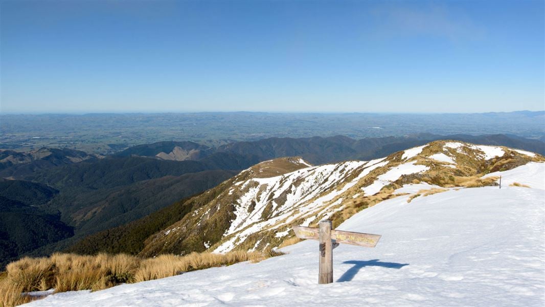
Holdsworth road end to Powell Hut/Mount Holdsworth
Intermediate • Powell Hut: 5 hr one way, Mount Holdsworth: 6 hr one way • 3.59 km away
Gentle Annie Track
Easy • 3 hr 30 min - 4 hr return • 4.5 km • 3.87 km away
Contact
Wellington/Kapiti information
Regional DOC service centre.
Notes from people who have been
No notes yet. If you have been, say what you found.
Something missing or out of date?
Closed, moved, wrong facts, or something we have missed? Travellers keep the Road Guide up to date. Tell us what you found at contribute@parkup.nz and we will check it and add it.
Ask us to take this down
A person reads every request. We do not remove a place until we have checked it.
Sources
- OpenStreetMap Huts · ODbL (Open Database License)Contains information from OpenStreetMap, made available under the ODbL.
- DOC Huts · CC BY 4.0Data sourced from the Department of Conservation (DOC), New Zealand.
- DOC Huts (API) · CC BY 4.0Crown Copyright: Department of Conservation Te Papa Atawhai. Data sourced from the DOC Developer Portal (api.doc.govt.nz).