Monro Beach Track
WalkWest Coast
- Grade
- Easy
- Walking time
- 1 hr 20 min
- Distance
- 4.7 km
- Dogs
- No dogs
Getting there
We have not checked a road end or car park for this place yet, so we do not give driving directions to it. Check how to get there before you go. Some routes cross private land and need the landowner's permission.
How to get there, on doc.govt.nzThis walk is signposted off SH6 as you head north from Haast to Lake Paringa.
The carpark is located 35 km north of Haast.
Source: DOC Te Papa Atawhai.
Map
Map data © OpenStreetMap contributors. Topo map: LINZ, CC BY 4.0. 43.71117° S, 169.26694° E
About this place
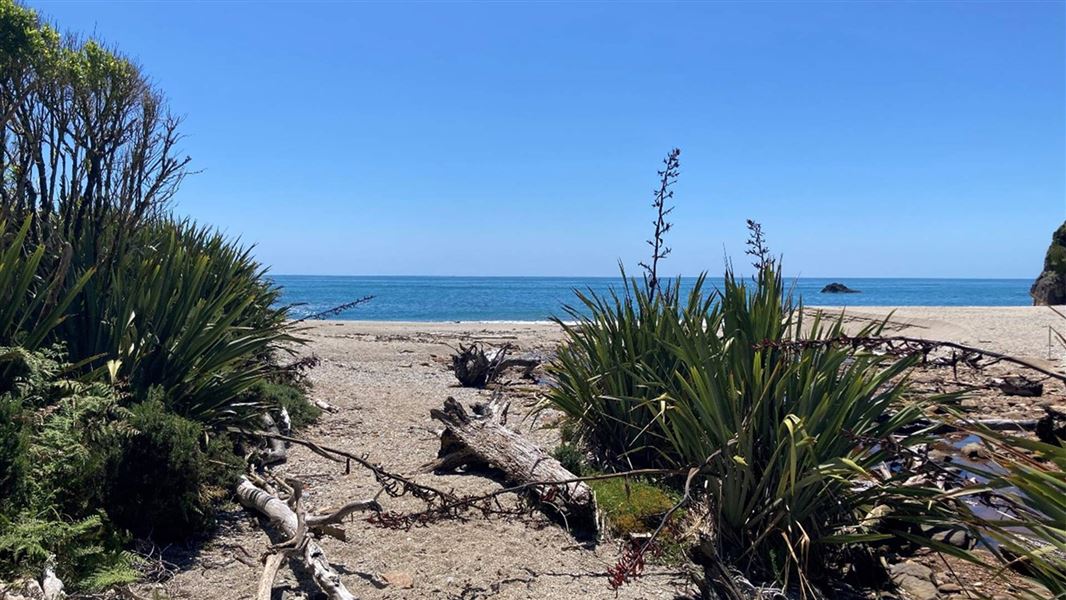
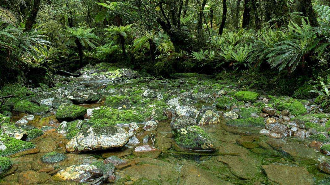
This track passes through luxuriant coastal forest to the remote Monro Beach.
The route
The track begins from the carpark and passes through luxuriant coastal forest to the remote Monro Beach, just north of Knights Point. Birds such as tūī, bellbird and kererū are often seen in the forest on this walk. The track is well formed and easy to follow. Return via the same track. Monro Beach is a nesting site for one of the rarest species of penguin in the world – the tawaki/Fiordland crested penguin. From September to November, you may see them in the surf and on the beach. Make sure to keep at least 20 meters distance. Tawaki are protected under the Wildlife Act 1953. It is an offence to disturb or pursue these birds. The current tawaki population is between 2,500 and 3,000 breeding pairs and has been in decline since the 1950s. Stoats and dogs pose a serious risk to tawaki colonies. Stoats prey on both chicks and sick or injured adults, while a single dog has the potential to wipe out an entire colony.
Source: DOC Te Papa Atawhai.
Nearby stops
Whakapohai Road, South Westland
West Coast • 1.7 km
The Whakapohai Road freedom camping area is in South Westland, within the Cook River to Haast River Conservation Area. Freedom camping is limited to…
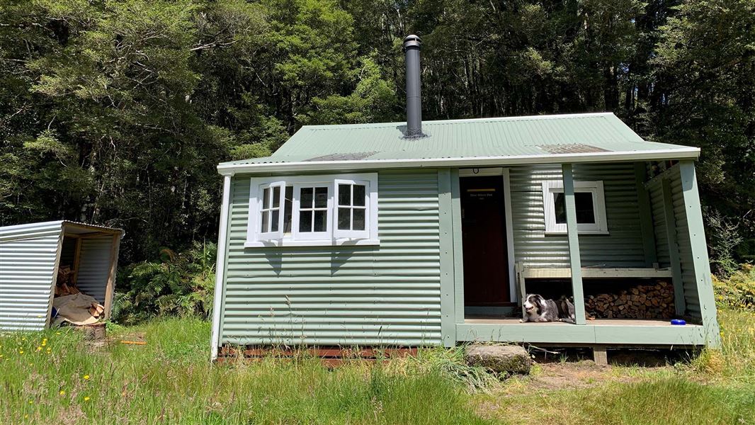
Blowfly Hut
Standard • 8 bunks • West Coast • 11.1 km
Blowfly Hut is a standard eight-bunk hut located in the South Westland Weheka Area on the West Coast.
Heating • Mattresses • Toilets - non-flush

Maori Saddle Hut
Standard • 10 bunks • West Coast • 11.5 km
Maori Saddle Hut is a standard 10-bunk hut located in the South Westland area of the West Coast.
Heating • Mattresses • Toilets - non-flush
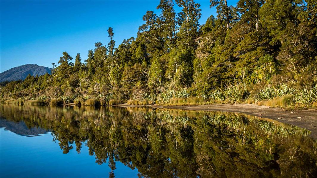
Lake Paringa Campsite
Standard • West Coast • 11.7 km
Lake Paringa Campsite is a campsite on the West Coast that offers boating, fishing, and swimming in the lake. It also provides access to the Haast to Paringa…
Boat launching • Non-powered/tent sites • Water from tap - not treated, boil before use
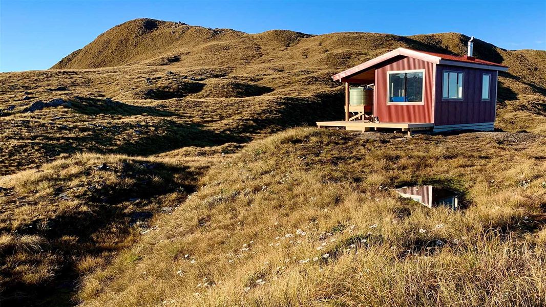
Mataketake Hut
Serviced • 8 bunks • West Coast • 12.4 km
Mataketake Hut is an 8-bunk hut situated on the Mataketake Tops Route in the West Coast region. It offers a backcountry experience that spans from the…
Heating • Mattresses
Walks nearby
Notes from people who have been
No notes yet. If you have been, say what you found.
Something missing or out of date?
Closed, moved, wrong facts, or something we have missed? Travellers keep the Road Guide up to date. Tell us what you found at contribute@parkup.nz and we will check it and add it.
Ask us to take this down
A person reads every request. We do not remove a place until we have checked it.
Sources
- DOC Tracks (API) · CC BY 4.0Crown Copyright: Department of Conservation Te Papa Atawhai. Data sourced from the DOC Developer Portal (api.doc.govt.nz).
- OpenStreetMap Trails · ODbL (Open Database License)Contains information from OpenStreetMap, made available under the ODbL.