Mica Mine Tops Route
WalkWest Coast
- Grade
- Expert
- Walking time
- 8 hr
- Dogs
- DOC permit only
Getting there
We have not checked a road end or car park for this place yet, so we do not give driving directions to it. Check how to get there before you go. Some routes cross private land and need the landowner's permission.
How to get there, on doc.govt.nzMica Mine Tops Route is started from the Historic Haast to Paringa Cattle Track.
The turn off to Mica Mine Tops Route is signposted around 2 hours after Blowfly Hut on the Historic Haast to Paringa Cattle Track.
Source: DOC Te Papa Atawhai.
Map and tracks
Track lines: DOC Te Papa Atawhai. Map data © OpenStreetMap contributors. Topo map: LINZ, CC BY 4.0. 43.81290° S, 169.31162° E
About this place
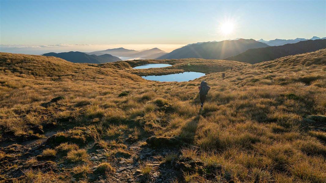
The Mica Mine Tops Route is a challenging route within the rugged backcountry environment of South Westland.
The route
Mica Mine Tops Route is started from the Historic Haast to Paringa Cattle Track . The turn off to Mica Mine Tops Route is signposted around 2 hours after Blowfly Hut on the Historic Haast to Paringa Cattle Track.
Turn off after Blowfly Hut to Mataketake Hut
Travel along the Mataketake Tops Route should only be attempted in clear weather – above the bush line, cloud can obscure the route making navigation difficult. If you’re unsure about the conditions you should wait for better weather. Only those with backcountry route finding/navigation skills, safety equipment including personal locator beacon (PLB) and warm, weatherproof clothing should attempt this route. The Mica Mine Tops Route leaves the main Cattle Track and zig zags through 23 corners up to 960 m high. At this point, the original track benching has been lost due to slips and treefall. You’ll need to follow a marked route the rest of the way up a scrubby, rocky spur to the bushline. Once you’re on the open tops, the route is poled and meanders southwest along the Mataketake Range, passing between tarns and rock fields. On a clear day, there are excellent views from mountains to sea as the route follows the dips and hollows of the range to Mataketake Hut. Mataketake Hut can be reached via Māori Saddle Route and Mica Mine Route. We recommend going up to the hut via the Māori Saddle Route. This will give you the best opportunity to judge the weather conditions on the tops and enable easy retreat if needed.
Source: DOC Te Papa Atawhai.
Know before you go
What to expect
A challenging backcountry tramp, with a rough unformed track and marker poles Exposure to weather while on the tops – it’s common to experience high wind, rain/snow, freezing temperatures and low visibility Unbridged stream crossings on the lower sections of the Haast to Paringa Cattle Track In winter, snow may prevent you getting onto the tops or to Mataketake Hut People hunting during the roar (mid-March to mid-April) Mataketake Hut in snow Image: Cameron Bollard, DOC use only Mataketake Hut in cloud Image: Cameron Bollard, DOC use only
What you need
To enjoy this challenging but rewarding route, you should: be comfortable walking 8 hours in a day through rough terrain be experienced in backcountry alpine tramping, including in untracked areas and in bad weather – you need to be able to judge when the conditions are safe to proceed and when to wait at a hut, camp where you are, or turn back have good navigation skills, e.g. able to use GPS or a map and compass have good river crossing skills
How to plan and prepare
Streams on the Haast to Paringa Cattle Track flood quickly when raining. We recommend waiting for water levels to drop before crossing. How to cross a river safely . Contact the DOC Visitor Centre at Haast to get a current weather report before starting your trip. Weather on the tops can be extreme. Assess the weather as you reach the tops, and turn back if you aren’t equipped for the conditions. Times given are a guide only and will vary greatly with fitness and weather. Tramping in this area is demanding, so allow plenty of extra time.
Packing for this trip
This is a remote tramp and you will need to be self-sufficient. Make sure to pack a distress beacon, emergency shelter, and extra food. Pack plenty of warm and waterproof clothing, so you can stay warm and dry on the tops.
Source: DOC Te Papa Atawhai.
Joins these tracks
Source: DOC Te Papa Atawhai.
Nearby stops

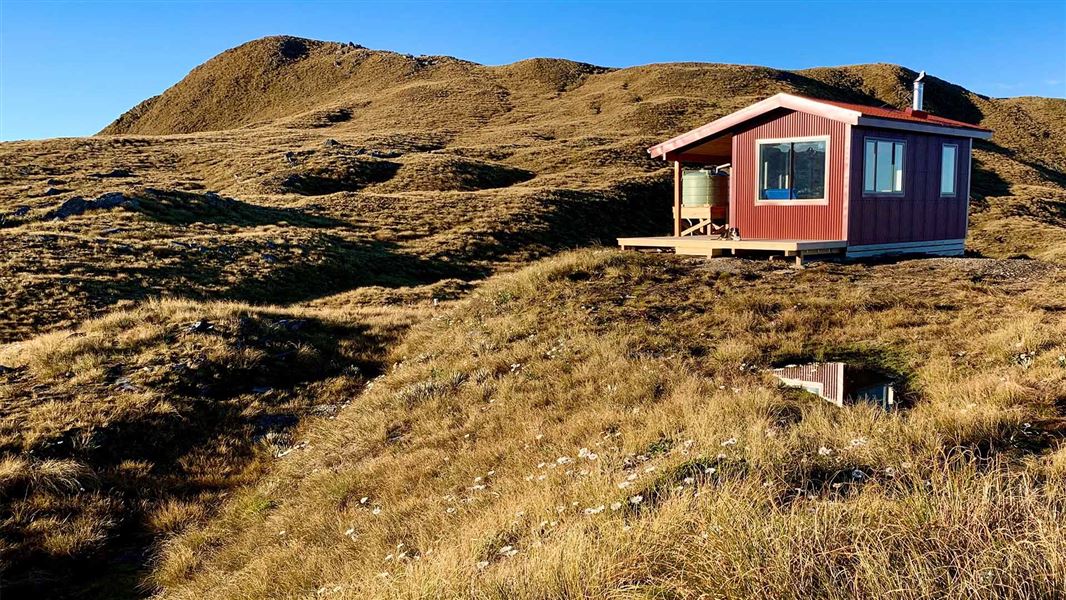
Maori Saddle Hut
Standard • 10 bunks • West Coast • 3 km
Maori Saddle Hut is a standard 10-bunk hut located in the South Westland area of the West Coast.
Heating • Mattresses • Toilets - non-flush
Blowfly Hut
Standard • 8 bunks • West Coast • 3.6 km
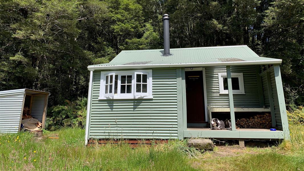
Blowfly Hut is a standard eight-bunk hut located in the South Westland Weheka Area on the West Coast.
Heating • Mattresses • Toilets - non-flush
Spot for a tent
West Coast • 7.8 km
Spot for a tent is a campsite located on the West Coast. It provides a designated area for pitching a tent.
Horseshoe Flat Hut
Standard • 6 bunks • West Coast • 8.2 km
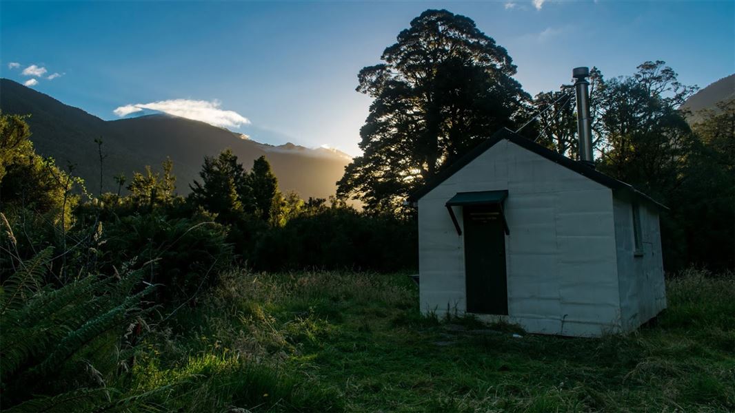
Horseshoe Flat Hut is a standard six-bunk hut located in the South Westland area of the West Coast region.
Heating • Mattresses • Toilets - non-flush

Roaring Billy Hut
Basic/bivvies • 6 bunks • West Coast • 9.2 km
Roaring Billy Hut is a basic six-bunk hut located in the South Westland area of the West Coast.
Heating • Mattresses • Toilets - non-flush
Walks nearby
Notes from people who have been
No notes yet. If you have been, say what you found.
Something missing or out of date?
Closed, moved, wrong facts, or something we have missed? Travellers keep the Road Guide up to date. Tell us what you found at contribute@parkup.nz and we will check it and add it.
Ask us to take this down
A person reads every request. We do not remove a place until we have checked it.
Sources
- DOC Tracks (API) · CC BY 4.0Crown Copyright: Department of Conservation Te Papa Atawhai. Data sourced from the DOC Developer Portal (api.doc.govt.nz).