Moeraki Valley Track
WalkWest Coast
- Grade
- Expert
- Dogs
- DOC permit only
Getting there
We have not checked a road end or car park for this place yet, so we do not give driving directions to it. Check how to get there before you go. Some routes cross private land and need the landowner's permission.
How to get there, on doc.govt.nzAccess to the track is signposted approximately 40 km northeast of Haast on SH6 at the Windbag Saddle. There is a small parking area on the side of the road (the sign is labelled Haast – Paringa Cattle Track).
Source: DOC Te Papa Atawhai.
Map and tracks
Track lines: DOC Te Papa Atawhai. Map data © OpenStreetMap contributors. Topo map: LINZ, CC BY 4.0. 43.80596° S, 169.39208° E
About this place
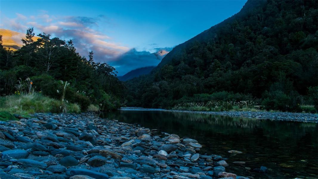
The Moeraki Valley offers good tramping for the fit and experienced. The U-shaped valley is typical of those carved out by glaciers during repeated glacial periods.
The route
This route is suitable for well-equipped and experienced backcountry trampers and climbers only. The best seasons to go are summer and autumn. The track crosses numerous small creeks and the main Moeraki River. These flood quickly during rainfall. Do not attempt to cross flooded rivers and side streams – wait until river levels have dropped before proceeding.
SH6 to Horseshoe Flat Hut tramping track
Time: 4 hr 30 min
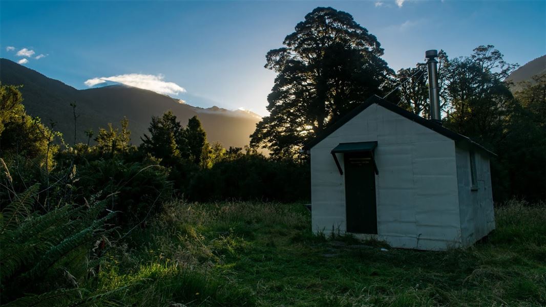
The track up the Moeraki valley initially follows the Haast – Paringa Cattle Track . The first section of track detours from the original Cattle Track to avoid the lowland swampy landscape around Windbag Creek, but soon picks up the original track line. The flat, well-benched track then follows the Moeraki (Blue) River to the Moeraki Valley Track junction, just before the swingbridge to Blowfly (Blue River) Hut. Turn left at the junction, following the sign for Horseshoe Flat Hut. The track meanders through mixed beech and podocarp forest on the true right of the river. The track then follows a branch of the Moeraki River before emerging onto the first of a series of swampy clearings with groves of ribbonwood and scrub. Be careful to follow the track markers through this area. In general the track leads along the base of the hill and doesn’t follow the meandering course of the river. However, at one point where the track has been eroded, it is necessary to follow the riverbank until markers are found again. Shortly before the hut, the track comes out onto the gravel riverbed. Horseshoe Flat Hut will soon come into view on a grassy flat.
Horseshoe Flat Hut to Middle Head Hut route
Time: 2 hr
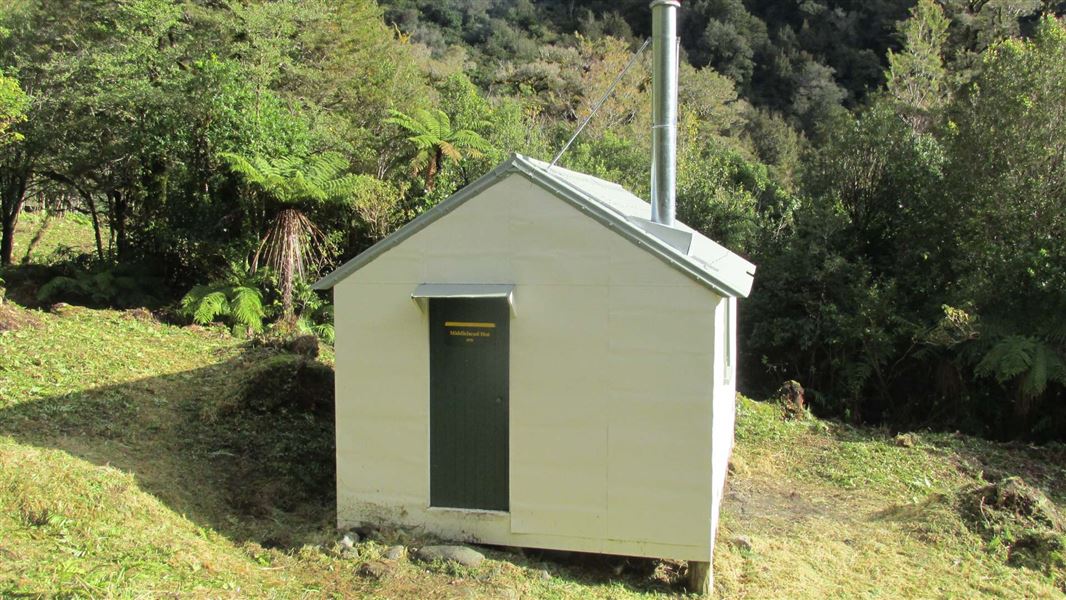
Follow the markers through the bush until the route emerges onto grassy flats. Follow the flats upstream until a suitable crossing of the river can be found. The river will be impassable during and after moderate to heavy rainfall. Do not attempt to cross in these conditions or if rain is forecast while you are further up the valley, as you will be unable to return to Horseshoe Flat Hut. If it is safe to do so, cross the river and continue upstream over the gravel flats until markers indicate the beginning of the route through the bush again. From here the route climbs through open beech forest. There is a short section of scrub before a crossing of a creek flowing from Zelian Saddle. Middle Head Hut is located near the confluence of this creek and the Middle Head branch of the Moeraki River.
Middle Head Hut to Middle Head Basin route
Time: 2 hr
The side-trip into Middle Head Basin from the hut is worthwhile. The route continues from just above the hut and descends to the Moeraki River. Cross the river (impassable during and after rain) to the true right and follow a marked route uphill through beech forest. Continuing past a rock biv, the route eventually drops down and emerges into the scrub and finally tussock of Middle Head Basin. The route ends here.
Source: DOC Te Papa Atawhai.
Know before you go
Stay safe when crossing rivers and streams
If you plan to cross unbridged rivers or side streams, know how to cross safely and be prepared for if you cannot cross. Do not cross if the river or stream is flooded, you cannot find safe entry and exit points or are unsure it’s safe. Turn back or wait for the river to drop. If in doubt, stay out. How to cross rivers safely NIWA river flow forecasts: View a video of national followed by regional river flows
Source: DOC Te Papa Atawhai.
Joins these tracks
Source: DOC Te Papa Atawhai.
On this track
In walking order.
Nearby stops
Blowfly Hut
Standard • 8 bunks • West Coast • 4 km
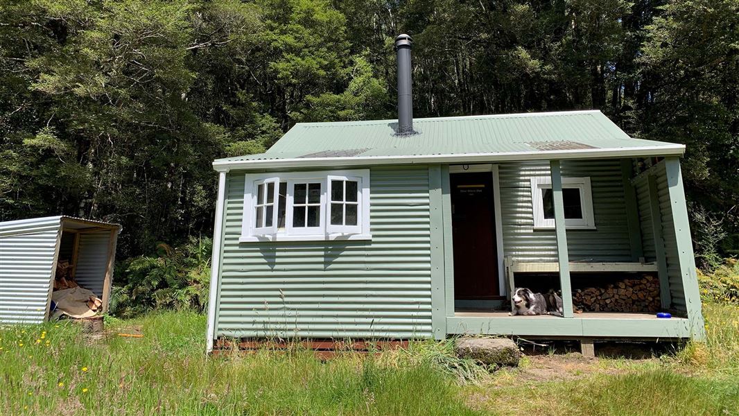
Blowfly Hut is a standard eight-bunk hut located in the South Westland Weheka Area on the West Coast.
Heating • Mattresses • Toilets - non-flush
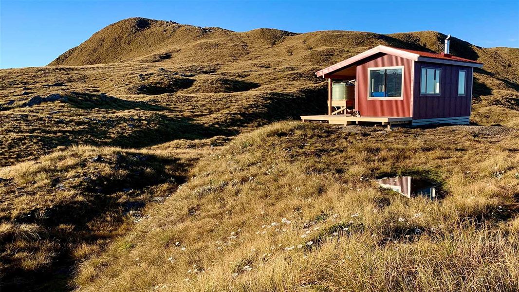
Mataketake Hut
Serviced • 8 bunks • West Coast • 8.6 km
Mataketake Hut is an 8-bunk hut situated on the Mataketake Tops Route in the West Coast region. It offers a backcountry experience that spans from the…
Heating • Mattresses
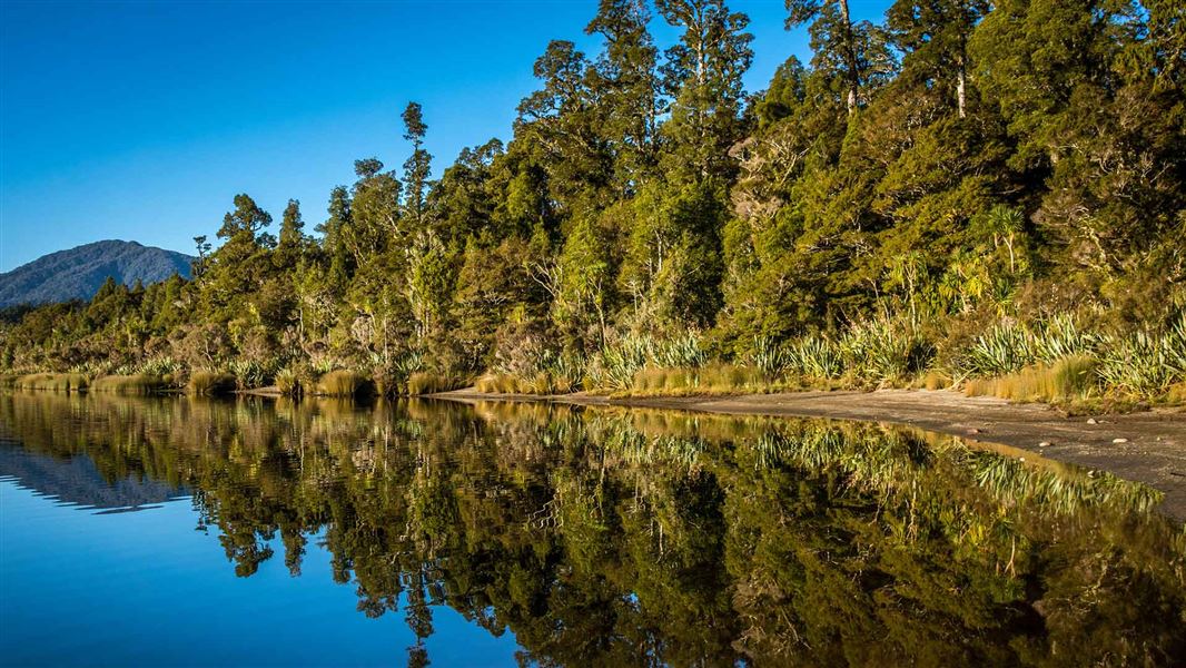
Lake Paringa Campsite
Standard • West Coast • 9.5 km
Lake Paringa Campsite is a campsite on the West Coast that offers boating, fishing, and swimming in the lake. It also provides access to the Haast to Paringa…
Boat launching • Non-powered/tent sites • Water from tap - not treated, boil before use

Maori Saddle Hut
Standard • 10 bunks • West Coast • 9.5 km
Maori Saddle Hut is a standard 10-bunk hut located in the South Westland area of the West Coast.
Heating • Mattresses • Toilets - non-flush

Roaring Billy Hut
Basic/bivvies • 6 bunks • West Coast • 11.4 km
Roaring Billy Hut is a basic six-bunk hut located in the South Westland area of the West Coast.
Heating • Mattresses • Toilets - non-flush
Walks nearby
Notes from people who have been
No notes yet. If you have been, say what you found.
Something missing or out of date?
Closed, moved, wrong facts, or something we have missed? Travellers keep the Road Guide up to date. Tell us what you found at contribute@parkup.nz and we will check it and add it.
Ask us to take this down
A person reads every request. We do not remove a place until we have checked it.
Sources
- DOC Tracks (API) · CC BY 4.0Crown Copyright: Department of Conservation Te Papa Atawhai. Data sourced from the DOC Developer Portal (api.doc.govt.nz).