Historic Haast to Paringa Cattle Track
WalkWest Coast
- Grade
- Advanced
- Walking time
- 3 days
- Dogs
- DOC permit only
Getting there
We have not checked a road end or car park for this place yet, so we do not give driving directions to it. Check how to get there before you go. Some routes cross private land and need the landowner's permission.
How to get there, on doc.govt.nzAccess to the north end of the track is signposted approximately 40 km northeast of Haast on SH6 at the Windbag Saddle. There is a small parking area on the side of the road (the sign is labelled Haast - Paringa Cattle Track).
The sound end of the track is marked by a gate just south of the Waita River Bridge about 11 km north of Haast Junction.
Source: DOC Te Papa Atawhai.
Map and tracks
Track lines: DOC Te Papa Atawhai. Map data © OpenStreetMap contributors. Topo map: LINZ, CC BY 4.0. 43.82329° S, 169.25321° E
About this place
This track was built in 1875 by farmers at Haast. Stock were driven from the Landsborough and Cascade valleys to sale yards at Whataroa.
The route
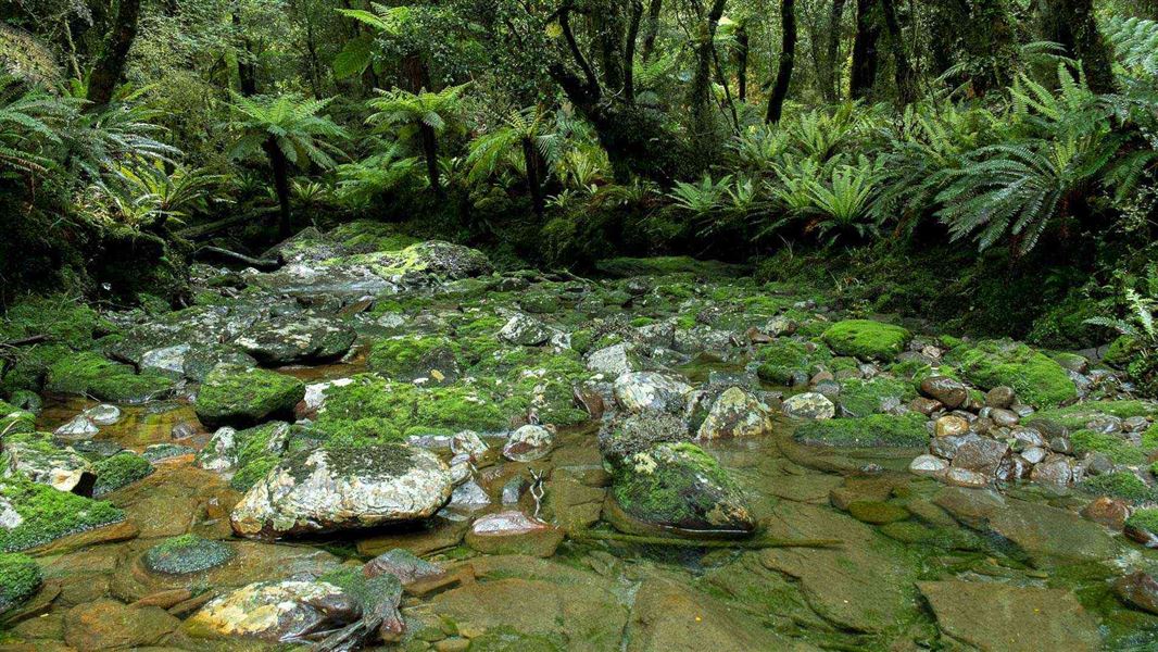
Walking the Haast to Paringa Cattle Track is a three-day journey and you will need to be prepared to stay in huts along the route. There are active slips in the area. Greater care and route-finding is required around steep-banked stream crossings.
SH6 to Blowfly Hut
Time: 1 hr 30 min
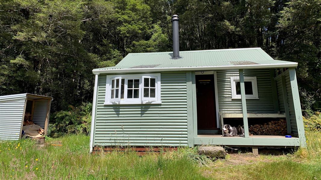
The initial section of the track to Blowfly Hut detours from the original route to avoid a lowland swampy area around Windbag Creek. Once past the swampy area, it soon picks up the original line. The flat well-benched track then follows the Moeraki River to a junction about 1 hour’s walk away. Blowfly Hut is a further 15 minutes’ walk from this junction, across the swing bridge to your left. There's a turn-off to your right just before Blowfly Hut that you need to take to continue the Historic Haast to Paringa Cattle Track.
Blowfly Hut to Māori Saddle Hut
Time: 4 hr 30 min
The track to Māori Saddle winds its way steadily uphill through mixed beech, rimu and kāmahi forest, typical of southern Westland. Along the way, you'll pass some good examples of stone culverts built by the mica miners. There's also a historic miner’s campsite near the helipad, 5 minutes before the Mica Mine Tops Route junction. Continuing towards Māori Saddle, sections of the track are quite rough – in heavy rain, access becomes more difficult due to the numerous stream crossings. Crossings are marked, but the rocks are very slippery, so take care. There are some diversions where slips have destroyed the original track, however, these are well marked and should not be difficult to follow. There are some very large specimens of beech trees along this section. There are also some relics of the historic ‘telegraph line’ that ran beside the track. There is a known active slip about 2 hours after Blowfly Hut, at Thompson Creek (N1301968, E5142768). This creates steep access into a fast-flowing river, so needs extreme caution to cross safely and can become impassible during heavy rain.
Mataketake Hut turnoffs
Mataketake Hut can be started from two points on the Historic Haast to Paringa Cattle Track:
Coppermine Creek Hut
Time: 7 - 9 hr
This longest section of the track is downhill most of the way. Follow the markers on the other side of diversions where vegetation is overgrown and at windfalls and slips especially at Slippery Face near Robinson Creek where the track crosses the alpine fault line. Eventually the track swings to the north and follows a fence-line towards Coppermine Creek where the DOC hut is on the “true right” of the creek and the furthest of the three huts. It is another two-hour walk to the highway.
Source: DOC Te Papa Atawhai.
Know before you go
Stay safe when crossing rivers and streams
If you plan to cross unbridged rivers or side streams, know how to cross safely and be prepared for if you cannot cross. Do not cross if the river or stream is flooded, you cannot find safe entry and exit points or are unsure it’s safe. Turn back or wait for the river to drop. If in doubt, stay out. How to cross rivers safely NIWA river flow forecasts: View a video of national followed by regional river flows
Source: DOC Te Papa Atawhai.
On this track
In walking order.


Nearby stops
Mataketake Hut
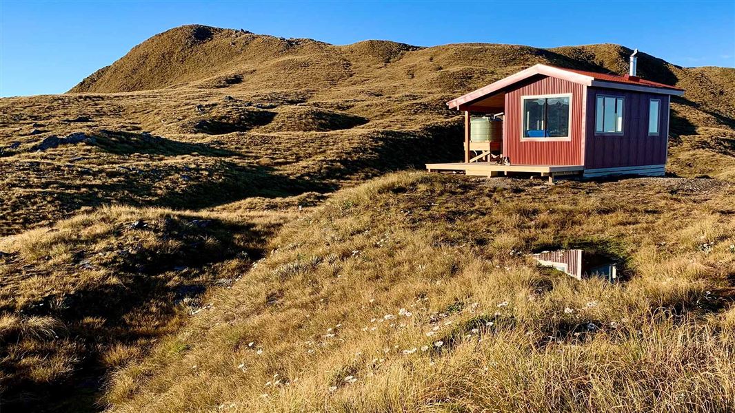
Serviced • 8 bunks • West Coast • 2.7 km
Mataketake Hut is an 8-bunk hut situated on the Mataketake Tops Route in the West Coast region. It offers a backcountry experience that spans from the…
Heating • Mattresses
Spot for a tent
West Coast • 3 km
Spot for a tent is a campsite located on the West Coast. It provides a designated area for pitching a tent.

Thomas River Hut
Standard • 6 bunks • West Coast • 9.1 km
Thomas River Hut is a standard six-bunk hut located in the South Westland area of the West Coast.
Heating • Mattresses • Toilets - non-flush

Roaring Billy Hut
Basic/bivvies • 6 bunks • West Coast • 9.7 km
Roaring Billy Hut is a basic six-bunk hut located in the South Westland area of the West Coast.
Heating • Mattresses • Toilets - non-flush
Whakapohai Road, South Westland
West Coast • 11.7 km
The Whakapohai Road freedom camping area is in South Westland, within the Cook River to Haast River Conservation Area. Freedom camping is limited to…
Walks nearby
Notes from people who have been
No notes yet. If you have been, say what you found.
Something missing or out of date?
Closed, moved, wrong facts, or something we have missed? Travellers keep the Road Guide up to date. Tell us what you found at contribute@parkup.nz and we will check it and add it.
Ask us to take this down
A person reads every request. We do not remove a place until we have checked it.
Sources
- OpenStreetMap Trails · ODbL (Open Database License)Contains information from OpenStreetMap, made available under the ODbL.
- DOC Tracks (API) · CC BY 4.0Crown Copyright: Department of Conservation Te Papa Atawhai. Data sourced from the DOC Developer Portal (api.doc.govt.nz).