Middle Hill Hut
Standard hutKaweka Forest Park, Hawke's BayOpen
- Sleeps
- 6 bunks
- Booking
- Not bookable
- Cost
- from $15
- Heating
- Yes
- Drinking water
- Boil first
- Toilet
- Non-flush
Getting there
We have not checked a road end or car park for this place yet, so we do not give driving directions to it. Check how to get there before you go. Some routes cross private land and need the landowner's permission.
How to get there, on doc.govt.nzFrom Makahu Road, a marked track climbs south west for 2 hours and then follows an undulating route across flat scrubland terraces for a further 30 – 45 minutes (5 km).
From Makahu Saddle carpark a marked tracked passes Kaweka Flats Bivouac (1 hour) to reach Middle Hill Hut (5.7 km).
Middle Hill Hut is ideally located for a day or weekend tramp. Trampers often make a semi-circular trip from Makahu Saddle via Middle Hill and out to Makahu Road as an “over-nighter” with suitable transportation arranged for drop-off and pick-up.
A “round” trip over Whetu (at the northern end of the main range) and down past Makino Hut or Te Puia Lodge is also a popular trip – this trip offers extensive views from the main range tops.
NZMS Map 260 series U20 and the Kaweka Recreational Map 274/12 can be purchased from:
Makahu Road is 75 km north-west of Napier. From Napier follow Puketitiri Road for 40 km before turning right into Pakaututu Road. Makahu Road is 9 km on the left.
At the very end of the road, 500 metres from the Mangatutu Hot Springs and camping area, is "The Gums" parking area and shelter. The tracks to Te Puia Lodge and Mangatainoka Hot Springs begin here.
The trip involves about 1 hr of travel on unsealed gravel roads. There is a river ford on Makahu Road 7.5 km from the road end – heavy rain and snow melt can affect the water level.
Makahu Road is steep and narrow in places. It may be slippery when wet. Take extra caution driving this road.
The road is not suitable for caravans or campervans.
Check with Hasting's District Council for road closures.
We recommend 4WD vehicles to reduce wear on the road and safe travel.
- Topo map
- Topo50 sheet BJ37
- Grid reference
- E1895791, N5652401
Source: DOC Te Papa Atawhai.
Map and tracks
Track lines: DOC Te Papa Atawhai. Map data © OpenStreetMap contributors. Topo map: LINZ, CC BY 4.0. 39.22748° S, 176.42530° E
About this place
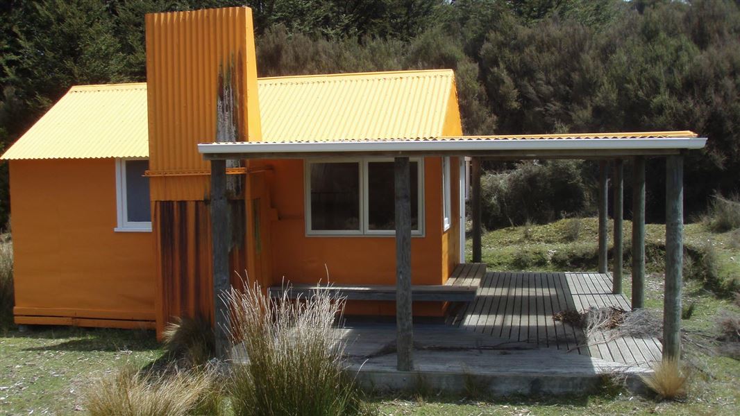
Located in the north eastern Kaweka Forest Park, Middle Hill Hut is situated in a flat, sheltered site where the open manuka/kanuka scrublands meet red beech forest.
On the way here
Middle Hill Track (Makahu Road to Middle Hill Hut) · 2-3 hrs
The track to Middle Hill Hut begins at the north-west corner of the carpark. Follow the Mangatutunui Stream for 15 minutes. The track crosses a stream, then climbs and sidles through manuka forest to a plateau. Middle Hill Hut is located in a clearing.
Alternative track
An alternative route to Middle Hill for experienced trampers is via the Makino Track . However, because of the constant “up and down” nature of this track, as it winds in and out of major creeks, this is not a popular option. It takes 6-7 hours to reach Middle Hill Hut using this route. From Middle Hill, tracks lead further afield to for example Kaweka Flats, Makahu Saddle, or over the Kaweka Range to Ballard Hut.
Makahu Road to Makahu Saddle (via Middle Hill Hut and Kaweka Flats) · 5.5-7.5 hrs
Makahu Road to Middle Hill Hut
Time: 2-3 hrs
4.8 km The track to Middle Hill Hut begins at the north-west corner of the carpark. Follow the Mangatutunui Stream for 15 minutes. The track crosses a stream, then climbs and sidles through manuka forest to a plateau. Middle Hill Hut is located in a clearing.
Middle Hill Hut to Kaweka Flats Bivouac
Time: 2-3 hrs
5.58 km Continue along the track from Middle Hill Hut until you reach a track junction. Take the left-hand track (towards Kaweka Flats, not Camp Spur). The track descends and crosses two tributaries of Koaro Stream, then climbs to a plateau. After crossing the plateau, the track drops steeply into a valley and crosses a branch of the Makehu River. The track then climbs to another plateau. Shortly after reaching the plateau, there is a side track to Iron Whare. Continue along the main track across Kaweka Flats, to Kaweka Flats Bivvy. Optional side trip to Iron Whare: There is the option to take a side trip Iron Whare, the oldest hut in Kaweka Forest Park. It was probably built in the 1870s as a musterer’s hut. Read about the history of Iron Whare .
Source: DOC Te Papa Atawhai.
Trip options
Walking times come from DOC track descriptions, added up leg by leg from car-accessible trailheads. Nights and return times are ParkUp estimates, allowing about 8 hours of walking a day.
2 options · 1 night
Makahu Road
Walking in
3 hr
Walking out
3 hr to Makahu Road
Walking in
3 hr
Walking out
8 hr to Makahu Saddle
Source: DOC Te Papa Atawhai track descriptions.
Fees and bookings
Before you go, buy Hut Tickets for each night's stay. Put these in the honesty box at the hut. Or buy a Backcountry Hut Pass that gives unlimited use at most Standard and Serviced huts for a 12 month period. Retailers that sell hut tickets and passes
Source: DOC Te Papa Atawhai.
On these tracks
Source: DOC Te Papa Atawhai.
Nearby stops
Kaweka Flats Bivvy
Basic/bivvies • 2 bunks • Hawke's Bay • 3.9 km
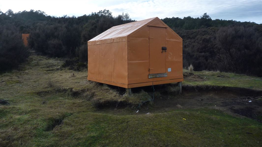
Kaweka Flats Bivvy is a hut located in the eastern part of Kaweka Forest Park in Hawke's Bay. It is situated one hour from the Makahu carpark.
Mattresses • Toilets - non-flush • Water from stream
Makahu Saddle Hut
Standard • 4 bunks • Hawke's Bay • 6.8 km
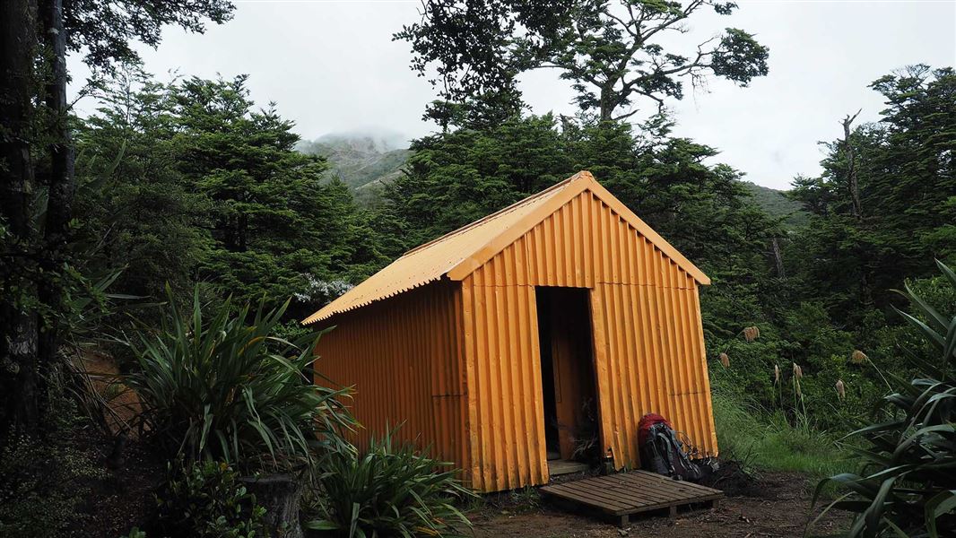
Makahu Saddle Hut is located in Hawke's Bay within a mixed forest of red and mountain beech. It sits below the steep eroded scree slopes of the main Kaweka…
Heating • Mattresses • Toilets - non-flush

Iron Whare
Basic/bivvies • 2 bunks • Hawke's Bay • 3.2 km
Iron Whare is a historic bivvy in Hawke's Bay that is no longer recommended for overnight accommodation. The track to the site is not well marked, making the…
Toilets - non-flush • Water from stream • Water supply

North Whetu Bivvy
Basic/bivvies • 2 bunks • Hawke's Bay • 3.3 km
North Whetu Bivvy is a hut located in Hawke's Bay. It is the former Studholme Saddle Bivvy which has moved location.
Makino Hut
Standard • 6 bunks • Hawke's Bay • 4.5 km
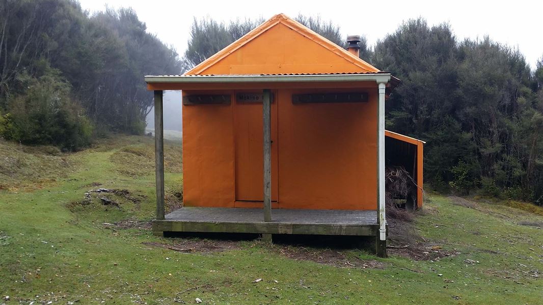
Makino Hut is located in the north-eastern Kaweka Forest Park within Hawke's Bay. The hut sits on a flat, sheltered site where open manuka and kanuka meet red…
Heating • Mattresses • Toilets - non-flush
Walks nearby
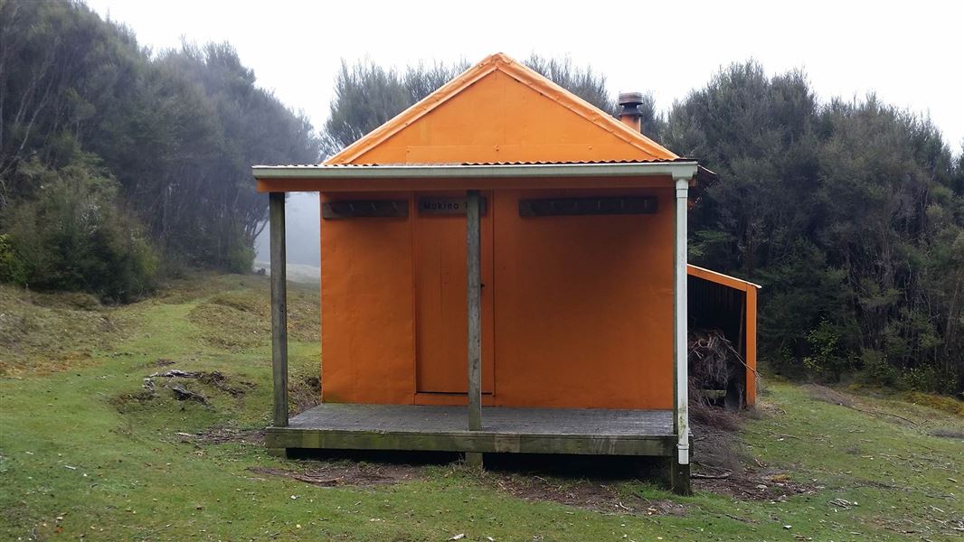
Makino Track (Makahu Road to Makino Hut)
Advanced • 2-3 hrs • 5.5 km • 3.84 km away
Makahu Road Circuit (via Makino Hut and Te Puia Lodge)
Advanced • 6-7 hrs • 4.72 km away
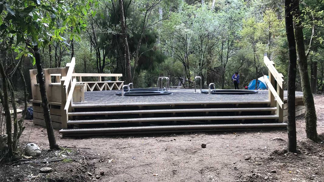
Te Puia Hut Track and Mangatainoka Hot Springs
Intermediate • 1–2 days • 5.38 km away
Dons Stream Walk
Advanced • 1 hr return • 7.02 km away
Trials Spur Track
Advanced • 2-3 hr • 7.02 km away
Contact
DOC Customer Service Centre
Regional DOC service centre.
Notes from people who have been
No notes yet. If you have been, say what you found.
Something missing or out of date?
Closed, moved, wrong facts, or something we have missed? Travellers keep the Road Guide up to date. Tell us what you found at contribute@parkup.nz and we will check it and add it.
Ask us to take this down
A person reads every request. We do not remove a place until we have checked it.
Sources
- DOC Huts · CC BY 4.0Data sourced from the Department of Conservation (DOC), New Zealand.
- DOC Huts (API) · CC BY 4.0Crown Copyright: Department of Conservation Te Papa Atawhai. Data sourced from the DOC Developer Portal (api.doc.govt.nz).
- OpenStreetMap Huts · ODbL (Open Database License)Contains information from OpenStreetMap, made available under the ODbL.